Wikimedi'Òc
Modes d'emploi

Cet album fait partie des albums
Cet album photos contient les sous-albums suivants :


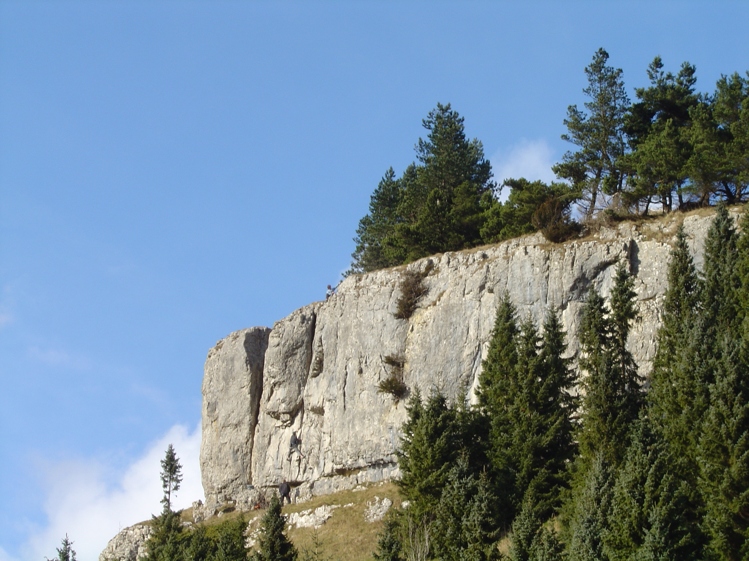
World's End - 2006-02-18.jpg - Voice of Clam
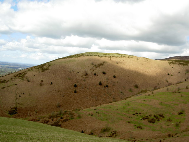
Moel y Gaer, Llanbedr.jpg - Deor

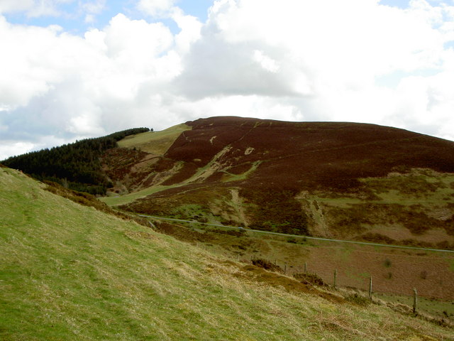
Moel y Gaer, Llantysilio.jpg - Deor
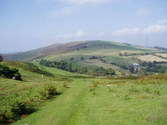
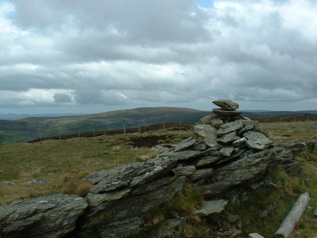
Foel Fenlli from Offa's Dyke Path.jpg - Deor
Moel y Parc.jpg - Deor

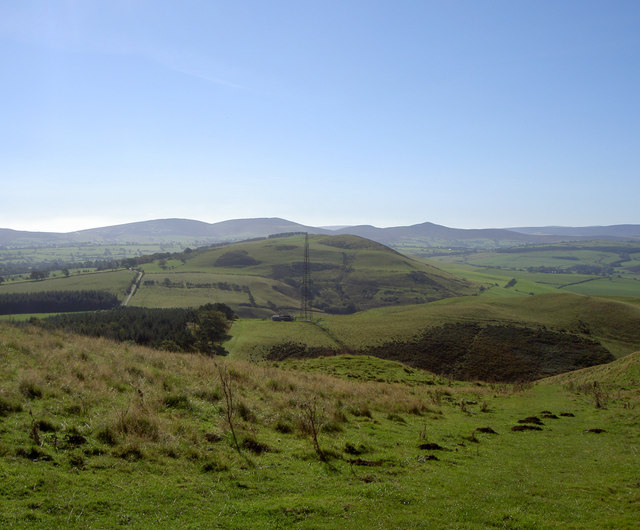
View from A525 - geograph.org.uk - 26541.jpg - GeographBot

Above Melin y Wig - geograph.org.uk - 41618.jpg - GeographBot

Geraint ( or Barbers Hill ), Llangollen - geograph.org.uk - 46335.jpg - GeographBot

Farmland below Eglwyseg Mountain - geograph.org.uk - 71274.jpg - GeographBot

Hillside below Trevor Rocks - geograph.org.uk - 71212.jpg - GeographBot

Sodom Crossroads - geograph.org.uk - 34134.jpg - GeographBot

Meliden Hills - geograph.org.uk - 76731.jpg - GeographBot

Penycloddiau - geograph.org.uk - 43229.jpg - GeographBot

Stabal y Berwyn - the Berwyn Stable - geograph.org.uk - 65445.jpg - GeographBot

Enjoying Fron Fenlli - geograph.org.uk - 102752.jpg - GeographBot

Fron-haul summit - geograph.org.uk - 109929.jpg - GeographBot

Fron Dyffryn - geograph.org.uk - 106043.jpg - GeographBot

Fron Hen - geograph.org.uk - 102758.jpg - GeographBot

Graig Fawr - geograph.org.uk - 105291.jpg - GeographBot

Graig Fawr to the mountains - geograph.org.uk - 105295.jpg - GeographBot

Looking south from the Horseshoe Pass - geograph.org.uk - 103495.jpg - GeographBot

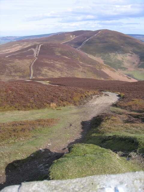
Offa's Dyke Footpath at Moel Dywyll - geograph.org.uk - 106120.jpg - GeographBot
Penycloddiau hill fort - geograph.org.uk - 109965.jpg - GeographBot

The 'blue' path - geograph.org.uk - 102742.jpg - GeographBot

Cattle grid near Moel y Gelli - geograph.org.uk - 129037.jpg - GeographBot

Hillock with trees - geograph.org.uk - 129122.jpg - GeographBot

Moel y Waen - geograph.org.uk - 129060.jpg - GeographBot

Steep hill - geograph.org.uk - 129169.jpg - GeographBot

On the slopes of Moel y Plâs - geograph.org.uk - 132247.jpg - GeographBot

Farmland near Llanbedr Dyffryn Clwyd - geograph.org.uk - 111935.jpg - GeographBot
Vale of Clwyd - geograph.org.uk - 176219.jpg - GeographBot

Hillside above Llantysilio - geograph.org.uk - 188229.jpg - GeographBot

A view of the hills - geograph.org.uk - 209251.jpg - GeographBot

Moel Arthur - geograph.org.uk - 198600.jpg - GeographBot

Moel Fenlli and the Vale of Clwyd - geograph.org.uk - 194331.jpg - GeographBot

Moel Gyw - geograph.org.uk - 199053.jpg - GeographBot

Old and new - geograph.org.uk - 199057.jpg - GeographBot

Pasture land - geograph.org.uk - 198592.jpg - GeographBot

Slurry trailer - geograph.org.uk - 180554.jpg - GeographBot

Footpath up Moel y Gaer - geograph.org.uk - 206780.jpg - GeographBot

Great walk in - geograph.org.uk - 209293.jpg - GeographBot

Moel Gyw - geograph.org.uk - 205245.jpg - GeographBot
Summit cairn, Moel y Gamelin - geograph.org.uk - 206767.jpg - GeographBot

Heather in bloom - geograph.org.uk - 218480.jpg - GeographBot

Jersey herd at Llanbedr Farm - geograph.org.uk - 218619.jpg - GeographBot

Maes Cadarn, Cyffylliog - geograph.org.uk - 218940.jpg - GeographBot

Moel y Gaer - geograph.org.uk - 218368.jpg - GeographBot

Craig Arthur - geograph.org.uk - 237138.jpg - GeographBot

Slopes of Moel Famau - geograph.org.uk - 218300.jpg - GeographBot

Steep hill - geograph.org.uk - 215866.jpg - GeographBot
Summit of the Horseshoe Pass - geograph.org.uk - 235436.jpg - GeographBot

Fire damage - geograph.org.uk - 241697.jpg - GeographBot

Hills above Carrog - geograph.org.uk - 247603.jpg - GeographBot

Hilltop - geograph.org.uk - 248724.jpg - GeographBot

Pen-y-Cloddiau - geograph.org.uk - 241687.jpg - GeographBot
Cairn on 621 m height looking towards Moel Fferna - geograph.org.uk - 648609.jpg - File Upload Bot (Magnus Manske)

Erosion by Trail bikers - geograph.org.uk - 269676.jpg - GeographBot

Hills by Llangollen - geograph.org.uk - 265864.jpg - GeographBot

Hillside above Mynydd Llech - geograph.org.uk - 292158.jpg - GeographBot

Bryn Ocyn - geograph.org.uk - 311066.jpg - GeographBot

The Clwydian Hills - geograph.org.uk - 319084.jpg - GeographBot

Castell Dinas Bran - geograph.org.uk - 326128.jpg - GeographBot

Foel Ganol - geograph.org.uk - 330336.jpg - GeographBot

High Point near Llyn Cyfynwy - geograph.org.uk - 350329.jpg - GeographBot

Looking South towards the Dee - geograph.org.uk - 354749.jpg - GeographBot

Moel y Plâs - geograph.org.uk - 359805.jpg - GeographBot
The Summit of Moel Morfydd and the View along Llantysilio Mountain - geograph.org.uk - 362748.jpg - GeographBot

Bracken on the hillside - geograph.org.uk - 375660.jpg - GeographBot

Tua Cefn Tan-y-graig - geograph.org.uk - 372855.jpg - GeographBot

View towards Moel Pearce and Cadair Bronwen - geograph.org.uk - 388533.jpg - GeographBot

View towards Trum y Wern - geograph.org.uk - 388510.jpg - GeographBot

Cefn Tan-y-graig. - geograph.org.uk - 399566.jpg - GeographBot

View towards Moel yr Henfaes from Moel Ty-uchaf - geograph.org.uk - 407124.jpg - GeographBot

I lawr yr allt.. Down the hill. - geograph.org.uk - 410428.jpg - GeographBot

An outlier the summit of which is marked by a pile of stones - geograph.org.uk - 470431.jpg - GeographBot

Bracken covered hillside - geograph.org.uk - 470395.jpg - GeographBot

Hillside above the tributary valley of Nant Gwyn - geograph.org.uk - 470414.jpg - GeographBot

The eastern slope of Cwm-pen-llydan - geograph.org.uk - 472576.jpg - GeographBot

The southern slope of hill 621 - geograph.org.uk - 470483.jpg - GeographBot

View back along the ridge - geograph.org.uk - 470439.jpg - GeographBot

View west towards the head of Cwm-pen-llydan - geograph.org.uk - 473299.jpg - GeographBot

West facing slope of the Nant Esgeiriau valley - geograph.org.uk - 473194.jpg - GeographBot

Bracken infestation below the tramway - geograph.org.uk - 484326.jpg - GeographBot

Out of the heather and into the bracken - geograph.org.uk - 483053.jpg - GeographBot

The sheaves house at the top of the incline leading down to Deeside Quarry - geograph.org.uk - 484956.jpg - GeographBot

The shelf-like section of the mountain road - geograph.org.uk - 480948.jpg - GeographBot

The upper basin of Nant Ffriddisel with Foel y Gwynt in the background - geograph.org.uk - 482749.jpg - GeographBot

Moel Eithinen - geograph.org.uk - 501943.jpg - GeographBot

Heather clad Maesyrychen Mountain - geograph.org.uk - 541877.jpg - GeographBot

On the Offa's Dyke Path near Prestatyn Hillside - geograph.org.uk - 541328.jpg - GeographBot

Southern flank of Ruabon Mountain - geograph.org.uk - 541839.jpg - GeographBot

Bracken covered hillside. - geograph.org.uk - 563229.jpg - GeographBot

Farmed Hillside near Moel Gyw. - geograph.org.uk - 577797.jpg - GeographBot

Moel Gyw - geograph.org.uk - 577794.jpg - GeographBot

The road to Llangollen - geograph.org.uk - 579991.jpg - Rotatebot
View of the Southern Clwydians. - geograph.org.uk - 577766.jpg - GeographBot

Clwydian Hills - geograph.org.uk - 627444.jpg - GeographBot

Clwydian Hills near Moel Arthur - geograph.org.uk - 624466.jpg - GeographBot

Mynydd Bychan - geograph.org.uk - 627729.jpg - GeographBot

Down the valley towards Llangollen - geograph.org.uk - 654451.jpg - GeographBot

Park Street, Denbigh - geograph.org.uk - 666858.jpg - GeographBot

Looking towards Moel Gyw - geograph.org.uk - 681277.jpg - GeographBot

Eglwyseg Rocks from Castell Dinas Brân - geograph.org.uk - 703058.jpg - GeographBot

Eglwyseg Rocks - geograph.org.uk - 756595.jpg - GeographBot

Moel Gyw - geograph.org.uk - 756845.jpg - GeographBot

Moel Llanfair - geograph.org.uk - 772470.jpg - GeographBot

View towards Eglwyseg Mountain from the eastern side of Cyrn-y-Brain - geograph.org.uk - 1227967.jpg - GeographBot

Fan Fenlli, from the north, on Offas Dyke path - geograph.org.uk - 1410137.jpg - GeographBot

Bumpy hillock in Graianrhyd - geograph.org.uk - 1511271.jpg - GeographBot

Hen walia wedi eu dymchwel ger copa Moel y Waun Sir Ddinbych.JPG - Llywelyn2000

Prestatyn hillside from graig fawr.jpg - FastilyClone

Moel Gyw from the Clwyd Gate - geograph.org.uk - 1812697.jpg - GeographBot

Creigiau Eglwyseg - geograph.org.uk - 2881467.jpg - GeographBot