Wikimedi'Òc
Modes d'emploi

Cet album fait partie des albums
Cet album photos contient les sous-albums suivants :


VINTAGE PRINTED POSTCARD, HALWILL SCHOOL, NR. LAUNCESTON, CORNWALL. (50627600182).jpg - Adamant1
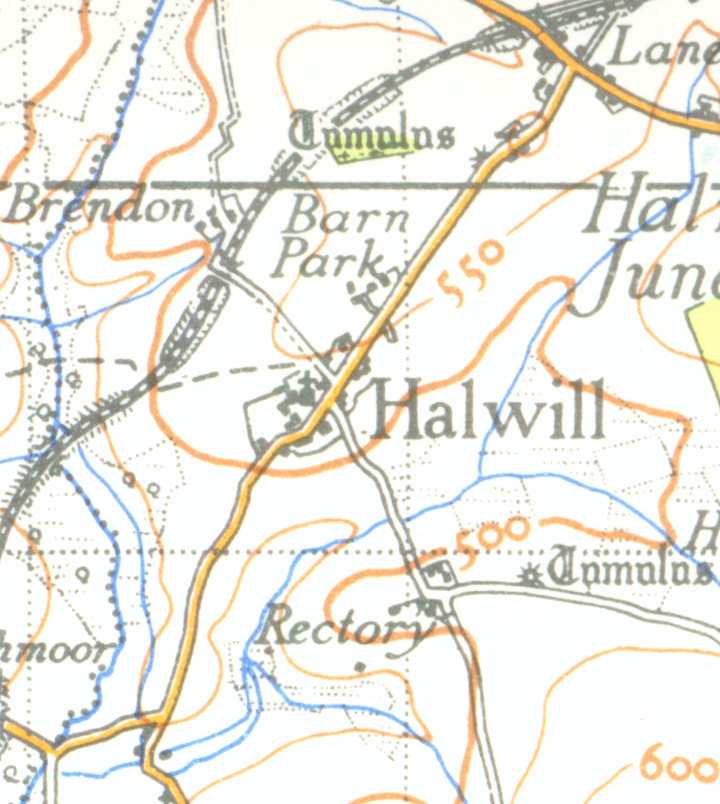
Halwillmap 1946.png - Geni

Bridleway at Greenacres Farm - geograph.org.uk - 468947.jpg - GeographBot

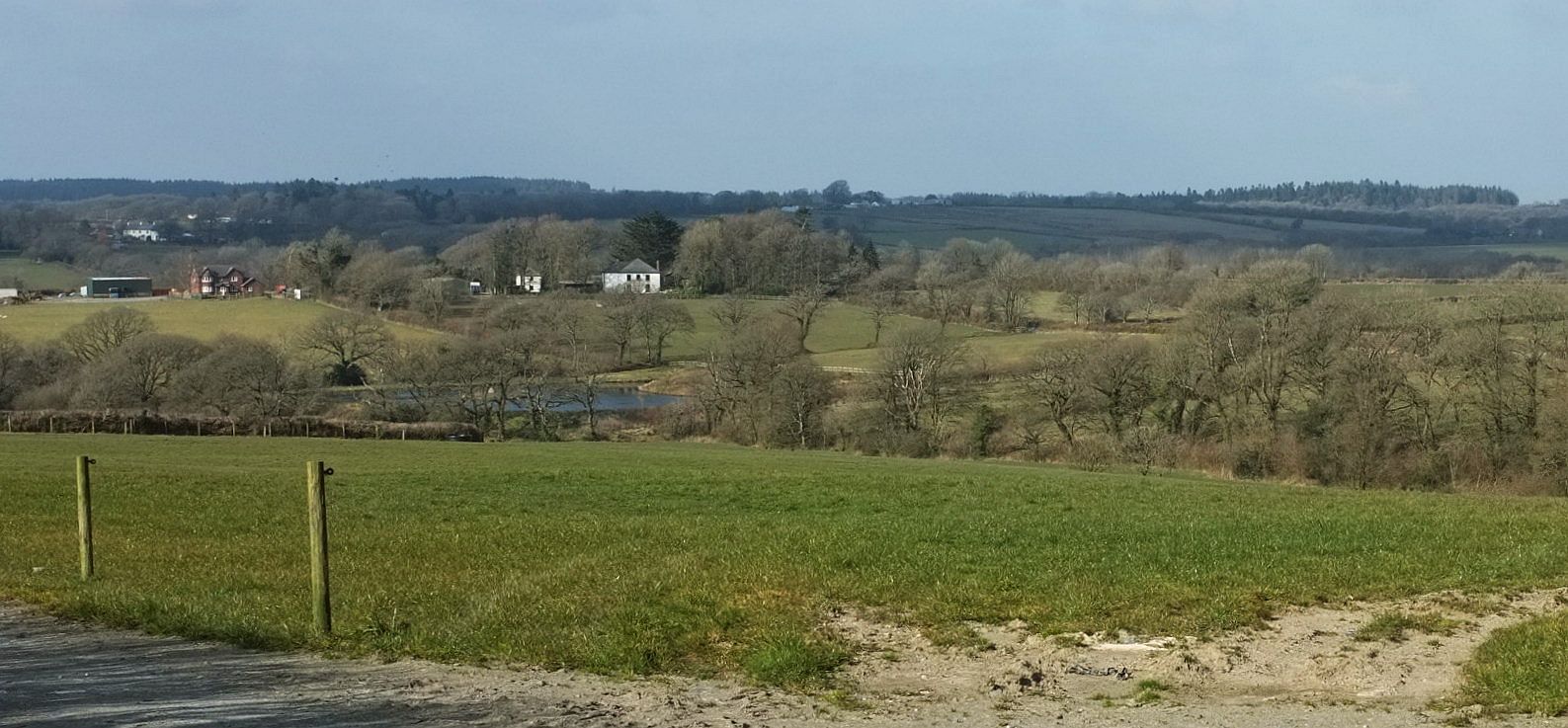
Field near Foxhole - geograph.org.uk - 468918.jpg - GeographBot
Foxhole Bridge - geograph.org.uk - 468914.jpg - GeographBot

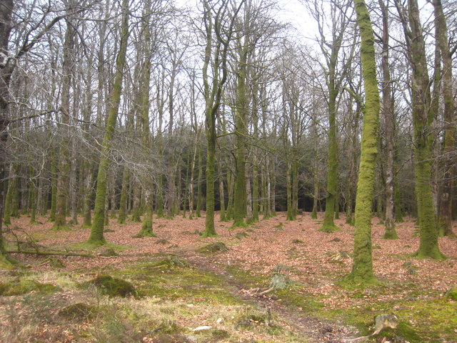
Halwill Moor Plantation - geograph.org.uk - 468334.jpg - GeographBot

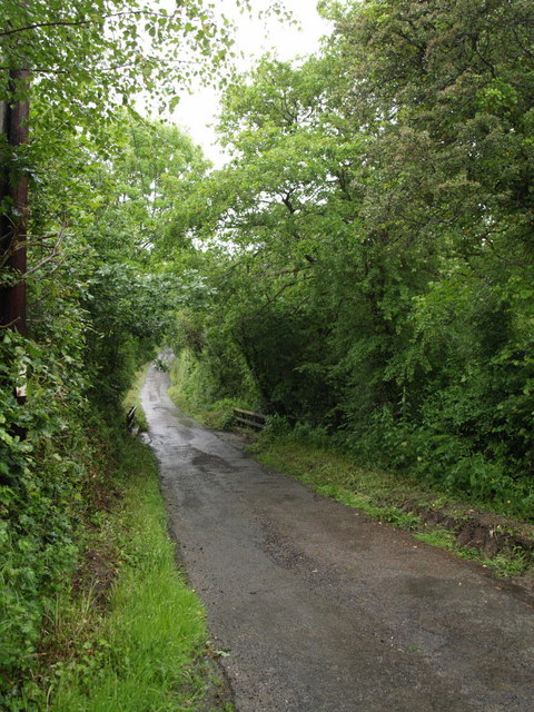
Lane near Foxhole - geograph.org.uk - 468915.jpg - GeographBot

Road on Broadbury - geograph.org.uk - 468920.jpg - GeographBot
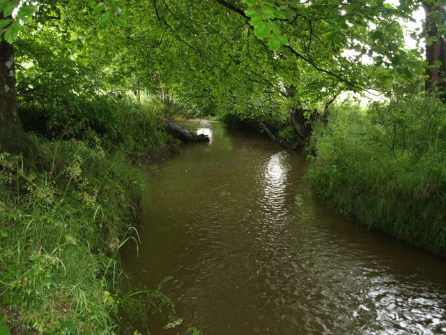
River Carey - geograph.org.uk - 471474.jpg - GeographBot

Chapel Farm - geograph.org.uk - 488159.jpg - GeographBot

Gravestones, Halwill - geograph.org.uk - 488310.jpg - GeographBot

Near Henderbarrow Farm - geograph.org.uk - 487928.jpg - GeographBot

Near Rectory - geograph.org.uk - 488313.jpg - GeographBot

Road across Broadbury - geograph.org.uk - 487823.jpg - GeographBot

View from Barn Park - geograph.org.uk - 488307.jpg - GeographBot

Upcott Cross - geograph.org.uk - 491568.jpg - GeographBot

Bridleway round Stonequarry Farm - geograph.org.uk - 514145.jpg - GeographBot

Dewy bridleway - geograph.org.uk - 514208.jpg - GeographBot

Diverted bridleway - geograph.org.uk - 513433.jpg - GeographBot

Dreybury Lane - geograph.org.uk - 513400.jpg - GeographBot

Dreybury Lane - geograph.org.uk - 513427.jpg - GeographBot

Field near Stonequarry Farm - geograph.org.uk - 511581.jpg - GeographBot

Flowers along Dreybury Lane - geograph.org.uk - 513483.jpg - GeographBot

Halwill Bridleway 11 - geograph.org.uk - 514214.jpg - GeographBot

Old rail track in Halwill Moor Plantation - geograph.org.uk - 511619.jpg - GeographBot

Ride through Halwill Moor Plantation - geograph.org.uk - 513497.jpg - GeographBot

Stonequarry Farm - geograph.org.uk - 514157.jpg - GeographBot

The Ruby Trail - geograph.org.uk - 511639.jpg - GeographBot

Whiteleigh Plantation - geograph.org.uk - 513504.jpg - GeographBot

Whiteleigh Plantation - geograph.org.uk - 513508.jpg - GeographBot

The bamboo grove, Winsford Walled Garden, Beaworthy - geograph.org.uk - 1806728.jpg - GeographBot

Derelict greenhouse, Winsford Walled Garden, Beaworthy - geograph.org.uk - 1806747.jpg - GeographBot

The restored Victorian greenhouse, Winsford Walled Garden, Beaworthy - geograph.org.uk - 1806768.jpg - GeographBot

Winsford Walled Garden, Beaworthy - geograph.org.uk - 1806835.jpg - GeographBot

Former school, Halwill - geograph.org.uk - 1806957.jpg - GeographBot

Bridge over a stream, Halwill - geograph.org.uk - 1806968.jpg - GeographBot

Lane, Halwill - geograph.org.uk - 1807011.jpg - GeographBot

Sewage works, Halwill - geograph.org.uk - 1807018.jpg - GeographBot

Halwill Junction entrance sign - geograph.org.uk - 2424773.jpg - GeographBot

Halwill village - geograph.org.uk - 2927144.jpg - GeographBot

Once a bridge over the North Cornwall Railway - geograph.org.uk - 2927177.jpg - GeographBot

The A3079 - geograph.org.uk - 2927183.jpg - GeographBot

Halwill Junction Inn - geograph.org.uk - 2927191.jpg - GeographBot

Signs and War Memorial at Halwill Junction - geograph.org.uk - 2927206.jpg - GeographBot

Station Fields, once the railway station - geograph.org.uk - 2927217.jpg - GeographBot

The A3079 nr Lane End - geograph.org.uk - 2927220.jpg - GeographBot

Halwill Junction Baptist church - geograph.org.uk - 2944231.jpg - GeographBot

The Junction Inn at Halwill Junction - geograph.org.uk - 2944238.jpg - GeographBot

The end of Beeching Close - geograph.org.uk - 2944245.jpg - GeographBot

Bridge over a small stream near Caradon View - geograph.org.uk - 2984279.jpg - GeographBot

Warning signs on A3079 - geograph.org.uk - 2984280.jpg - GeographBot

Roundabout in Halwill Junction - geograph.org.uk - 2984281.jpg - GeographBot

Upcott Cross down to one finger - geograph.org.uk - 3288545.jpg - GeographBot

Henderbarrow Corner A3079 - geograph.org.uk - 3288548.jpg - GeographBot

A3079 Lane End - geograph.org.uk - 3288551.jpg - GeographBot

Station Road (A3079) at Halwill Junction - geograph.org.uk - 3420061.jpg - GeographBot

Approaching Halwill from the northeast - geograph.org.uk - 3425758.jpg - GeographBot

A3079 roundabout at Halwill Junction - geograph.org.uk - 3631227.jpg - GeographBot

A3079 south of Halwill Junction - geograph.org.uk - 3631241.jpg - GeographBot

A3079 Metherell Cross - geograph.org.uk - 3664467.jpg - GeographBot

A3079 at Halwill Junction - geograph.org.uk - 3664491.jpg - GeographBot

A3079 towards Halwill Junction - geograph.org.uk - 3664497.jpg - GeographBot

A3079 near Halwill Moor Plantation - geograph.org.uk - 3664500.jpg - GeographBot

Forest road in Halwill Moor Plantation - geograph.org.uk - 3704333.jpg - GeographBot
Beech trees in Halwill Moor Plantation - geograph.org.uk - 3704336.jpg - GeographBot

War Memorial at Halwill Junction - geograph.org.uk - 3704768.jpg - GeographBot

The Junction Inn at Halwill Junction - geograph.org.uk - 3704797.jpg - GeographBot

Beeching Close at Halwill Junction - geograph.org.uk - 3704801.jpg - GeographBot

Beaworthy Post Office - geograph.org.uk - 3704809.jpg - GeographBot

Wayside cross near Halwill church - geograph.org.uk - 3705449.jpg - GeographBot

Base of cross in Halwill churchyard - geograph.org.uk - 3705470.jpg - GeographBot

Field between Halwill and Lane End - geograph.org.uk - 3705498.jpg - GeographBot

Henderbarrow Corner - geograph.org.uk - 4309198.jpg - GeographBot

Broadbury - geograph.org.uk - 4865540.jpg - GeographBot
View from Stowford - geograph.org.uk - 4865592.jpg - GeographBot

Approaching Stowford - geograph.org.uk - 4865616.jpg - GeographBot

Lane to Halwill Mill - geograph.org.uk - 4865644.jpg - GeographBot

Path to Halwill Junction - geograph.org.uk - 4947969.jpg - GeographBot

Start of path to Halwill Moor Plantation - geograph.org.uk - 4947973.jpg - GeographBot

Path to Halwill Moor Plantation - geograph.org.uk - 4947983.jpg - GeographBot

Remains of railway bridge - geograph.org.uk - 4948272.jpg - GeographBot

Trackbed of the Halwill to Launceston Branch - geograph.org.uk - 4961708.jpg - GeographBot

Track to Halwill Moor Plantation - geograph.org.uk - 4961723.jpg - GeographBot

Road across Broadbury - geograph.org.uk - 5000433.jpg - GeographBot

Lane to Halwill Mill - geograph.org.uk - 5000448.jpg - GeographBot

Approaching Halwill Mill - geograph.org.uk - 5000456.jpg - GeographBot

Trees and a field entrance south of Upcott Cross - geograph.org.uk - 5018069.jpg - GeographBot

Upcott Plantations - geograph.org.uk - 5018072.jpg - GeographBot

Narrow tree-lined road with ditches east of Upcott Cross - geograph.org.uk - 5018084.jpg - GeographBot

Access road to Rowden Farm - geograph.org.uk - 5018087.jpg - GeographBot

Road to Metehrell Farm and campsite - geograph.org.uk - 5018102.jpg - GeographBot

Torridge , Winsford Lane - geograph.org.uk - 5447691.jpg - GeographBot

Torridge , Angler's Paradise - geograph.org.uk - 5447693.jpg - GeographBot

Torridge , Angler's Paradise Car Park - geograph.org.uk - 5447694.jpg - GeographBot

Torridge , Angler's Paradise - geograph.org.uk - 5447696.jpg - GeographBot

Torridge , Winsford Lane - geograph.org.uk - 5447698.jpg - GeographBot

Torridge , Road - geograph.org.uk - 5447700.jpg - GeographBot

Halwill Baptist church - geograph.org.uk - 5541618.jpg - GeographBot

Beeching Close - geograph.org.uk - 5541627.jpg - GeographBot

Signpost at Halwill Junction crossroads - geograph.org.uk - 5560123.jpg - GeographBot

The Junction Inn - geograph.org.uk - 5660372.jpg - GeographBot

Halwill Parish Hall - geograph.org.uk - 5660380.jpg - GeographBot

Public Conveniences, Halwill Junction - geograph.org.uk - 5660397.jpg - GeographBot

Village stores, Halwill Junction - geograph.org.uk - 5660399.jpg - GeographBot

Beaworthy Post Office - geograph.org.uk - 5660402.jpg - GeographBot

First World War memorial, Halwill Junction - geograph.org.uk - 5660799.jpg - GeographBot

Gentle slope for A3079 near Henderbarrow - geograph.org.uk - 5753012.jpg - GeographBot

Bus shelter at Halwill Junction - geograph.org.uk - 5753020.jpg - GeographBot

Former railway bridge on A3079 near Lane End - geograph.org.uk - 5753025.jpg - GeographBot

Old Direction Sign - Signpost by the A3079, Station Road, Halwill Junction - geograph.org.uk - 6050886.jpg - GeographBot

Cookworthy Forest Trail - geograph.org.uk - 6210188.jpg - GeographBot

Entry to Cookworthy Forest - geograph.org.uk - 6210190.jpg - GeographBot

Shared path to Cookworthy Forest - geograph.org.uk - 6210198.jpg - GeographBot

Path Junction - geograph.org.uk - 6210202.jpg - GeographBot

Cookworthy Forest - geograph.org.uk - 6210216.jpg - GeographBot