Wikimedi'Òc
Modes d'emploi

Cet album fait partie des albums
Cet album photos contient les sous-albums suivants :


Weel.jpg - Angusmclellan

Corn Exchange, Beverley.jpg - Thomas Gun

Hessle Railway Station 1.jpg - Keith D

Hutton Cranswick Station - geograph.org.uk - 82200.jpg - GeographBot

Little Driffield Church - geograph.org.uk - 121958.jpg - GeographBot

St. Peter's Church, Langtoft - geograph.org.uk - 145901.jpg - GeographBot
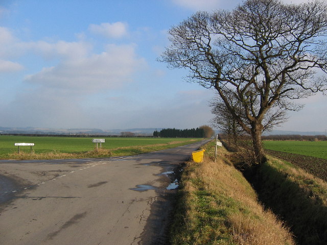
Road Junction at SE880286 - geograph.org.uk - 115326.jpg - GeographBot

Road from Newport to Sandholme Landing - geograph.org.uk - 173899.jpg - GeographBot

Moor Road - geograph.org.uk - 183841.jpg - GeographBot

Medici Ristorante Italiano - geograph.org.uk - 214771.jpg - GeographBot

Rispin Hill, Sancton - geograph.org.uk - 249004.jpg - GeographBot

Looking towards Hull Bridge.jpg - Keith D

Junction to Millington.jpg - Keith D

Yapham Village. Roadsign in Foreground. - geograph.org.uk - 255537.jpg - GeographBot

Beverley Road - geograph.org.uk - 278008.jpg - GeographBot

Weeton - geograph.org.uk - 322559.jpg - GeographBot
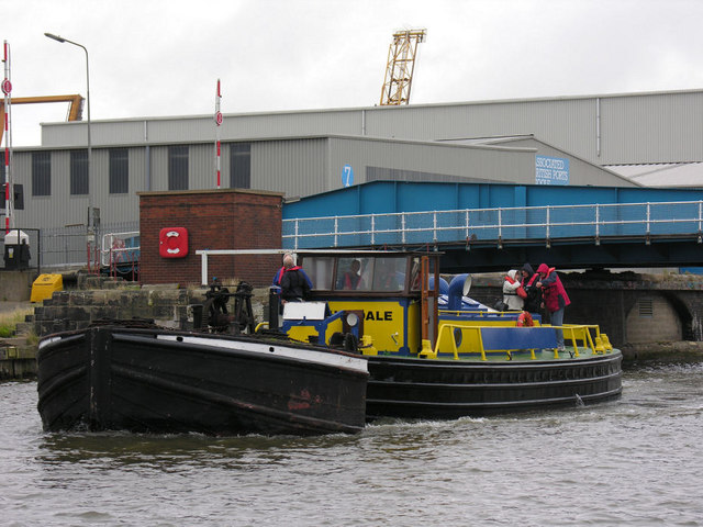
Preserved tug "Wheldale" - geograph.org.uk - 381811.jpg - GeographBot

Railway Footbridge - geograph.org.uk - 385301.jpg - GeographBot

Former Entrance to Welton House - geograph.org.uk - 546158.jpg - GeographBot

Jaw Bones Corner, Bempton - geograph.org.uk - 604843.jpg - GeographBot

Footpath to Newbegin Gate - geograph.org.uk - 626215.jpg - GeographBot

Newbegin Gate - geograph.org.uk - 624223.jpg - GeographBot

Raywell Park entrance - geograph.org.uk - 704722.jpg - GeographBot

Beverley Road on Newbald Wold - geograph.org.uk - 743721.jpg - GeographBot

Newbald Primary School - geograph.org.uk - 802315.jpg - GeographBot

The Corn Exchange, Beverley - geograph.org.uk - 820823.jpg - GeographBot

Wawne - geograph.org.uk - 1201368.jpg - GeographBot

Bridlington Railway Station Platform - geograph.org.uk - 1212035.jpg - GeographBot

Lifeboat Station, South Landing - geograph.org.uk - 1211666.jpg - GeographBot

Beverley, postbox № HU17 254, Minster Yard North - geograph.org.uk - 1295796.jpg - GeographBot

The Wolds Way at Goodmanham - geograph.org.uk - 1432207.jpg - GeographBot
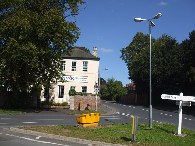
Medici Ristorante Italiano - geograph.org.uk - 1462065.jpg - GeographBot

Tickton Parish Hall - geograph.org.uk - 1552087.jpg - GeographBot

Bridge over Bowman Drain - geograph.org.uk - 1600966.jpg - GeographBot
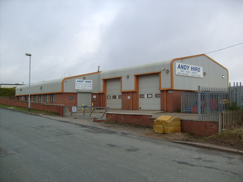
Andy Hire, Pinfold Lane, Bridlington - geograph.org.uk - 1707819.jpg - GeographBot

Auburn Close, Bridlington - geograph.org.uk - 1709746.jpg - GeographBot

Millfield Road, Bridlington - geograph.org.uk - 1709582.jpg - GeographBot

Track to Raywell Park - geograph.org.uk - 1733610.jpg - GeographBot

Rectory Road, Roos - geograph.org.uk - 1766492.jpg - GeographBot

Nafferton railway station.jpg - Victuallers

Gilberdyke Train Station (geograph 5048829).jpg - Chris j wood

Gilberdyke Train Station (geograph 5048823).jpg - Chris j wood

St John the Baptist Church - viewed from Moor Road (geograph 2530515).jpg - Mtaylor848

Cottingham IMG 7796.jpg - Oddlegs

Yapham (geograph 5717931).jpg - Keith D

Road through Yapham near Pocklington (geograph 5609123).jpg - Keith D

Meltonby Lane (geograph 3763565).jpg - Keith D

Meltonby Lane (geograph 5411760).jpg - Keith D

A bus shelter at Meltonby (geograph 2660629).jpg - Keith D

Miller Lane joining The Mile near Ousethorpe Farm (geograph 5343127).jpg - Keith D

Wressle railway station, Yorkshire (geograph 3259575).jpg - Keith D

Houses in Wressle (geograph 3567989).jpg - Keith D

Ferry Lane, Thearne (geograph 6349358).jpg - Keith D

Wawne Village Hall (geograph 6091741).jpg - Keith D

Normandy Avenue, Beverley (geograph 6355982).jpg - Keith D
Queensgate, Beverley (geograph 4392087).jpg - Keith D

Central Avenue, Beverley (geograph 4392119).jpg - Keith D

Bus shelter on Victoria Road, Beverley (geograph 4400871).jpg - Keith D

Bungalows on Queensgate, Beverley (geograph 4402201).jpg - Keith D

Wesleyan Sabbath School, Withernwick (geograph 6362854).jpg - Keith D

Withernsea Ambulance Station on Arthur Street (geograph 3611123).jpg - Keith D

The British Legion Club, Withernsea (geograph 3612793).jpg - Keith D

The staff entrance to Croxby Primary School, Cottingham (geograph 3307659).jpg - Keith D

John Gray Court off Main Street, Willerby (geograph 4479264).jpg - Keith D

Redland Drive at Fairfield Avenue, Kirk Ella (geograph 5192230).jpg - Keith D

Kirk Ella Police Station (geograph 6116503).jpg - Keith D

Elms Drive, Kirk Ella (geograph 5194511).jpg - Keith D

Beckside, Wilberfoss (geograph 5739364).jpg - Keith D

Wilberfoss Church of England (Voluntary Controlled) Primary School (geograph 5738066).jpg - Keith D

Manor Farm, Wetwang (geograph 6452997).jpg - Keith D

Pulham Lane, Wetwang (geograph 6457269).jpg - Keith D

Sacred Heart Church (geograph 3568745).jpg - Keith D

Fridaythorpe village (geograph 5984605).jpg - Keith D

Skeffling Pumping Station (geograph 5562209).jpg - Keith D

Yorkshire Wolds Way at Elloughton Dale (geograph 6686333).jpg - Keith D

Hall Walk, Welton (geograph 5700021).jpg - Keith D

Common Lane, Welton (geograph 4956874).jpg - Keith D

Main Street, Wawne (geograph 6067564).jpg - Keith D

Crossroads in Kilnwick (geograph 6522296).jpg - Keith D

Main Street, Watton (geograph 6494189).jpg - Keith D

Fingerpost on minor road junction, Warter (geograph 7046543).jpg - Keith D

Middlehowe Green, Walkington (geograph 6358097).jpg - Keith D

Holiday Park, Ulrome (geograph 6404918).jpg - Keith D

Back Street In Front (geograph 6424952).jpg - Keith D

Junction in Skipsea (geograph 6908082).jpg - Keith D