Wikimedi'Òc
Modes d'emploi

Cet album fait partie des albums
Cet album photos contient les sous-albums suivants :


Northolt Grange Free Church (Baptist) and play area - geograph.org.uk - 23463.jpg - GeographBot

Playground on North Acton Playing Field - geograph.org.uk - 19469.jpg - GeographBot

Wetherby Close, Petts Hill - former Northolt Park Racecourse - geograph.org.uk - 18268.jpg - GeographBot

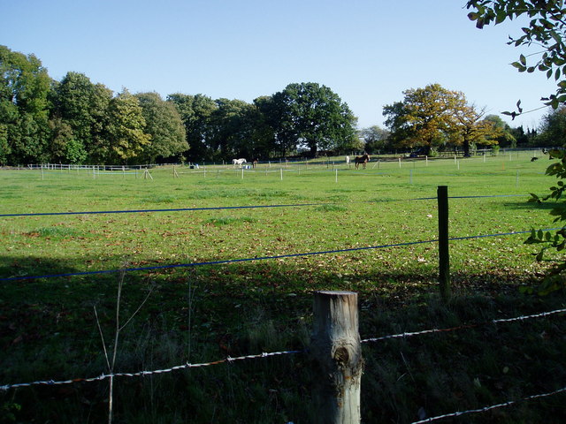
Northolt Recreation Ground - geograph.org.uk - 72929.jpg - GeographBot

Allotments, Northfield Avenue W13 - geograph.org.uk - 116005.jpg - GeographBot

Back gardens of The Approach, North Acton - geograph.org.uk - 138827.jpg - GeographBot

Friary Road green triangle, Acton - geograph.org.uk - 138806.jpg - GeographBot

Berkeley Fields - geograph.org.uk - 188754.jpg - GeographBot

Sunday cricket, North Acton Recreation Ground - geograph.org.uk - 170906.jpg - GeographBot

High Lane Allotments - geograph.org.uk - 201088.jpg - GeographBot

Water main corridor and railway bridge - geograph.org.uk - 316136.jpg - GeographBot

Green corridor by Western Avenue - geograph.org.uk - 315990.jpg - GeographBot

Narrowboat moored by Horsenden Hill - geograph.org.uk - 678589.jpg - GeographBot

Old hedge by meadow, Horsenden Hill - geograph.org.uk - 678663.jpg - GeographBot

Land near St John's Church, Mattock lane - geograph.org.uk - 684421.jpg - GeographBot

Rugby fields - geograph.org.uk - 761291.jpg - GeographBot

Bin and Bench located in Smiths Farm Meadows. - geograph.org.uk - 1028933.jpg - GeographBot
Horses grazing in field off Osterley Lane. - geograph.org.uk - 1023045.jpg - GeographBot

Pond in Bois Meadow - geograph.org.uk - 1068477.jpg - GeographBot

Wooded area at the bottom end of Greenford Road - geograph.org.uk - 1066264.jpg - GeographBot

Pond in Boies Meadow - geograph.org.uk - 1165098.jpg - GeographBot

Pond in Boies Meadow - geograph.org.uk - 1165099.jpg - GeographBot

Pond in Boies Meadow - geograph.org.uk - 1165101.jpg - GeographBot

Pond in Boies Meadow - geograph.org.uk - 1165103.jpg - GeographBot

Pond located in the scrub land between the Uxbridge Road and the West Middlesex golf course - geograph.org.uk - 1164993.jpg - GeographBot

Pond located in the scrub land between the Uxbridge Road and the West Middlesex golf course - geograph.org.uk - 1164995.jpg - GeographBot

Pond located in the scrub land between the Uxbridge Road and the West Middlesex golf course - geograph.org.uk - 1164997.jpg - GeographBot

Hay meadow - geograph.org.uk - 1178196.jpg - GeographBot

Southfields Recreation Ground - geograph.org.uk - 1193751.jpg - GeographBot

Entrance to King George's Field - geograph.org.uk - 1239652.jpg - GeographBot

Bromyard Avenue, W3 - geograph.org.uk - 1445821.jpg - GeographBot

The Crescent, W3 - geograph.org.uk - 1445523.jpg - GeographBot

Playpark in Spencer Street - geograph.org.uk - 1521653.jpg - GeographBot

Playpark in The Crescent - geograph.org.uk - 1520224.jpg - GeographBot

Small public open space at the junction of Queens and Dudley Roads - geograph.org.uk - 1521622.jpg - GeographBot

Waste ground behind Southall Station - geograph.org.uk - 1524582.jpg - GeographBot

Snow on North Acton playing fields - geograph.org.uk - 1625152.jpg - GeographBot

Pond, green and mock-Tudor house - geograph.org.uk - 1840051.jpg - GeographBot

Acton Green Common - geograph.org.uk - 3382556.jpg - GeographBot

Triangle Garden, Hanger Hill - geograph.org.uk - 3520663.jpg - GeographBot