Wikimedi'Òc
Modes d'emploi

Cet album fait partie des albums
Cet album photos contient les sous-albums suivants :


ISS013-E-15193 - View of Israel.jpg - AskeBot

ISS013-E-64527 - View of Israel.jpg - AskeBot

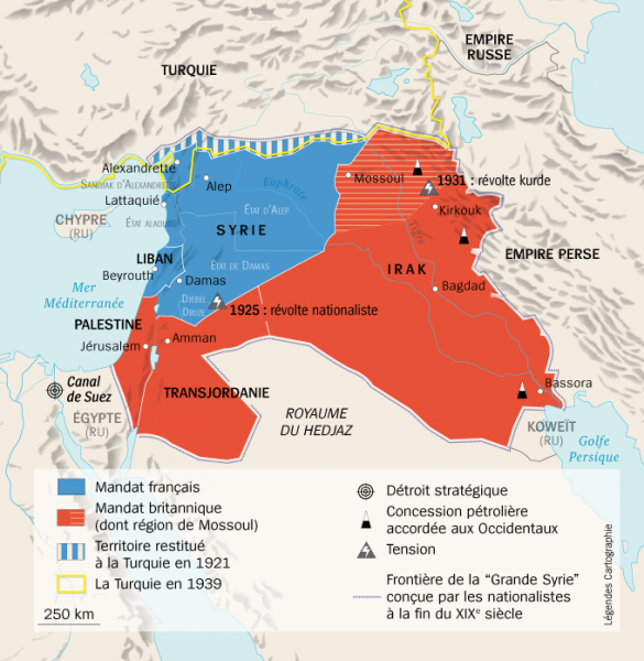
Near east lrg.jpg - Capricorn4049

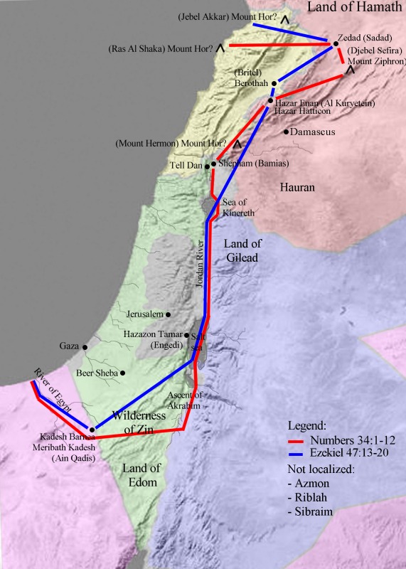
Davids-kingdom.jpg - MeteorMaker~commonswiki
Map Land of Israel.jpg - Emmanuelm

Greater Israel map.jpg - Cansado

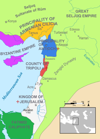
Map Crusader states 1165-en.svg - Malus Catulus

Irgun poster Erez Jisrael.jpg - Alexey Topol

Greater Israel Map.png - Oren neu dag

Book of Genesis Chapter 12-7 (Bible Illustrations by Sweet Media).jpg - OrophinBot

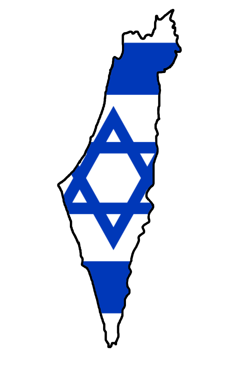
Flag map of Israel (including occupied territories).png - DrRandomFactor
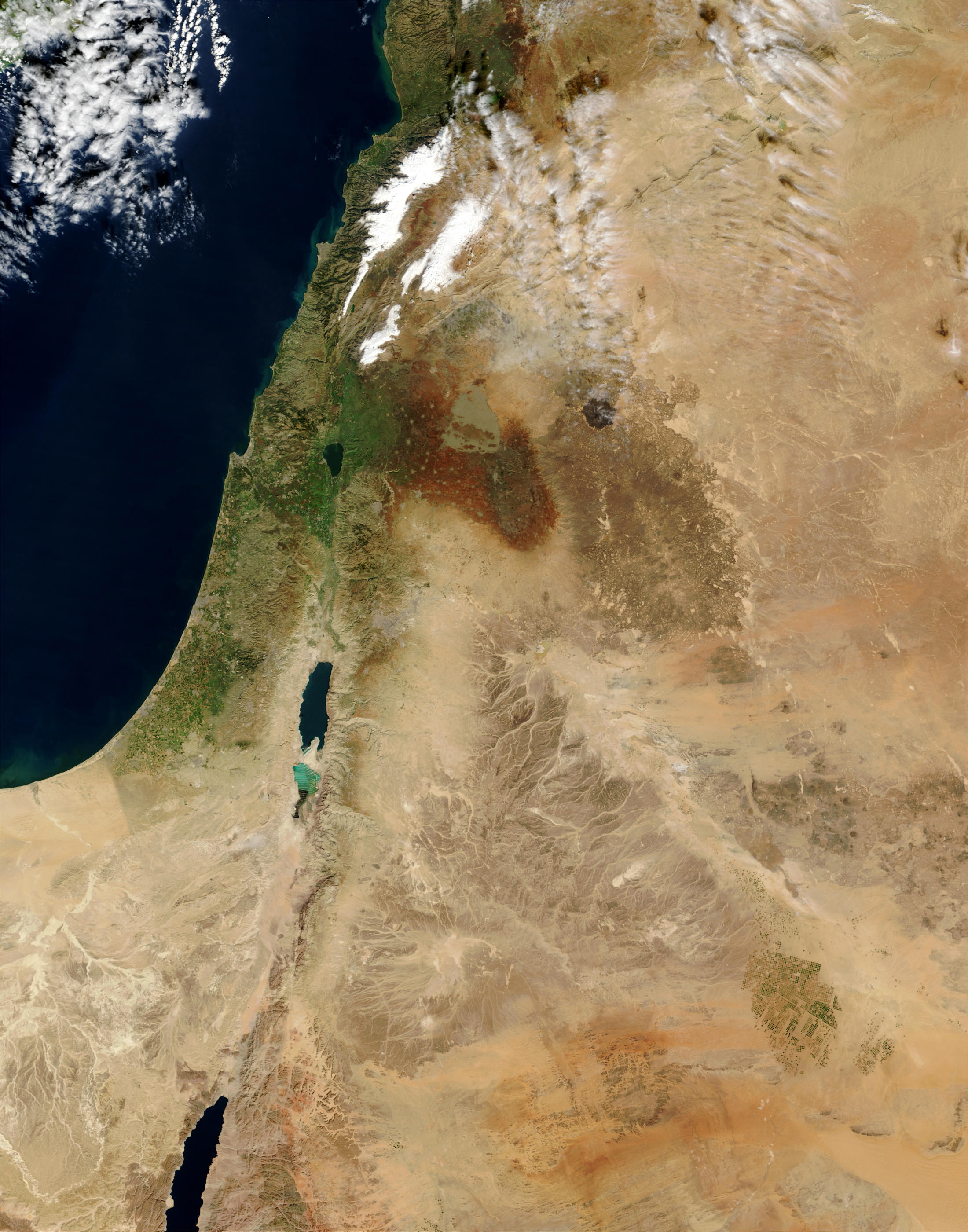
MiddleEast A2003031 0820 250m without lines.jpg - Eladk

Flag map of Israel (including Palestinian territories).svg - Raymond1922A

Greater israel.jpg - Ronhjones

Greater israel map.png - جار الله

Southern Levant map.svg - Joe Roe

Sykes-Picot Agreement He.svg - קרלוס הגדול

The Middle East as seen by Envisat.jpg - Revent

The Nile Delta and the Sinai Peninsula ESA200130.jpg - Fæ
Flag map of Israel (including Palestinian territories and Golan Heights).png - Iktsokh

Flag map of Greater Israel.png - ייהליזיושמר
Treaty of Sèvres Middle East fr.png - Gundan

1940 German military map - Übersichtskarte Konya-Kairo.jpg - Balkanique

Map of the Levant.svg - SarahFatimaK

ISS030-E-5374 - View of Jordan.jpg - Joalbertine

Lands of the Bible, 1956.jpg - Universalis
Satellite of Eretz Israel.jpeg - Joalbertine

Eretz Israel from Space.jpeg - Joalbertine

Land of Israel from Space.jpeg - Joalbertine

Greater Israel from Space.jpeg - Joalbertine

Eretz Israel Satellite.jpeg - Joalbertine

Land of Israel Wide View.jpeg - Joalbertine

Greater Israel Natural Borders.jpeg - Joalbertine

Near East 1930 (cropped).jpeg - Joalbertine

(Upscaled) Flag map of Israel (including Palestinian territories and Golan Heights).png - Iktsokh

Nexşeya Axa sozdayî.jpg - Zemen

Map Crusader states 1165-it.svg - Arrow303

The Middle East map with rivers and countries borders (and red lines delimiting the borders of the Land of Israel).jpg - MichaelIsGreat1234

Possible ethnoreligious map of Greater Israel if created (with provincial borders) 01.png - SafwaanM

Possible ethnoreligious map of Greater Israel if created (without provincial borders) 02.png - SafwaanM

Possible ethnoreligious map of Greater Israel by provinces.png - SafwaanM
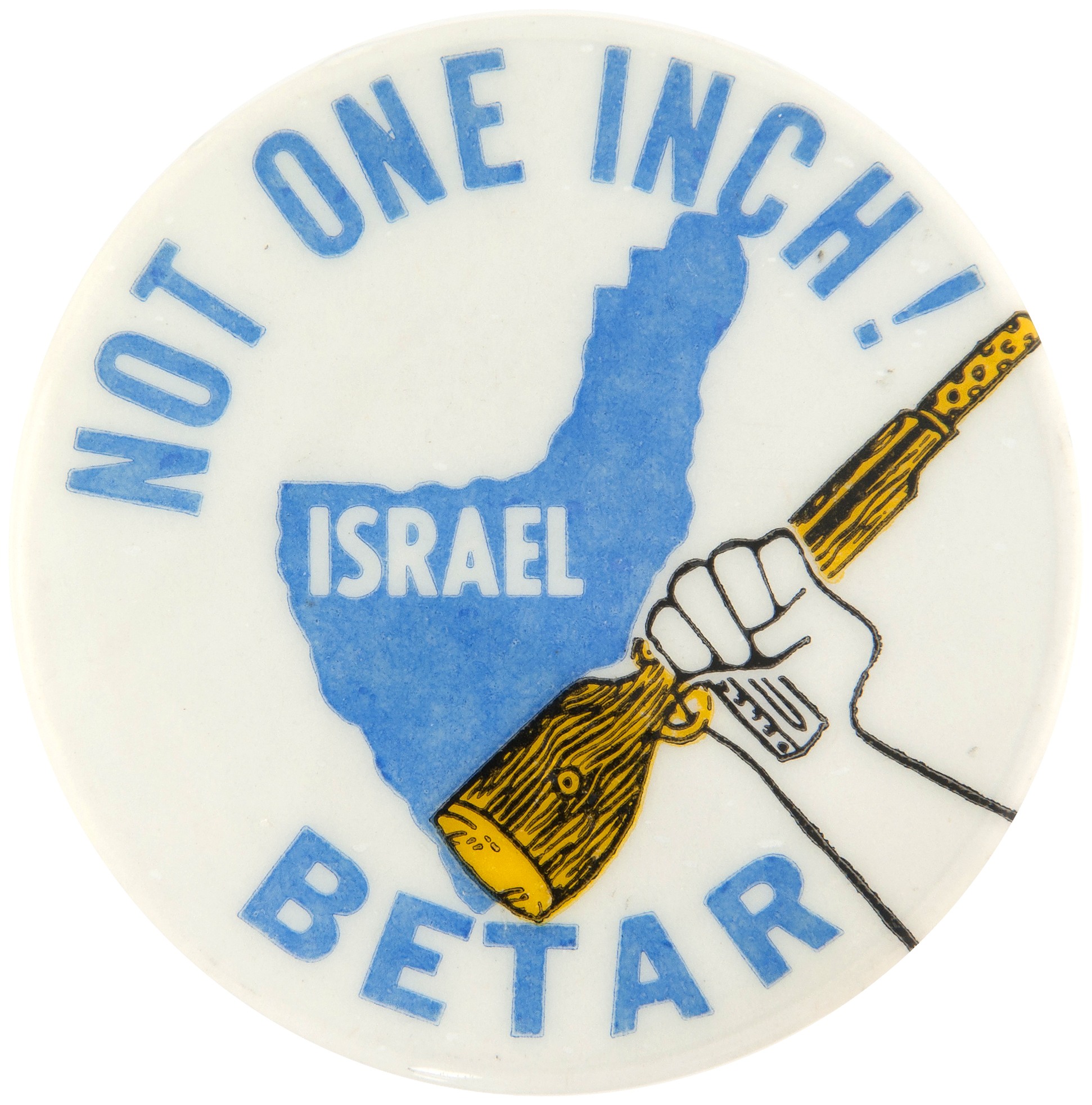
1977 Betar Not One Inch Pinabck Button.jpg - Bruxton