Wikimedi'Òc
Modes d'emploi

Cet album fait partie des albums
Cet album photos contient les sous-albums suivants :


Karte Gemeinde Grandvillard.png - Tschubby

Grandvillard01.JPG - Paebi

Grandvillard02.JPG - Paebi

Karte Gemeinde Grandvillard 2007.png - Tschubby

Grandvillard-coat of arms.svg - Manoillon

B-Grandvillard-Eglise-Saint-Jacques.jpg - Roland Zumbuehl

Karte Gemeinde Grandvillard 2014.png - Tschubby

Intyamon - Au pied de Bounavaux et du Vanil Noir au-dessus de Grandvillard.JPG - GGDELABAS

Intyamon - La vallée au printemps depuis Estavannens.jpg - GGDELABAS

Panoramic view near La Brâ (14033435678).jpg - Hiku2

Chèvre de Grandvillard.JPG - Softenpoche

Panoramic view from L'Aiguille - panoramio.jpg - Panoramio upload bot

Panoramic view from L'Aiguille - panoramio (1).jpg - Panoramio upload bot

Panoramic view near La Brâ - panoramio.jpg - Panoramio upload bot

Dent de Lys and Vanil Blanc - panoramio.jpg - Panoramio upload bot
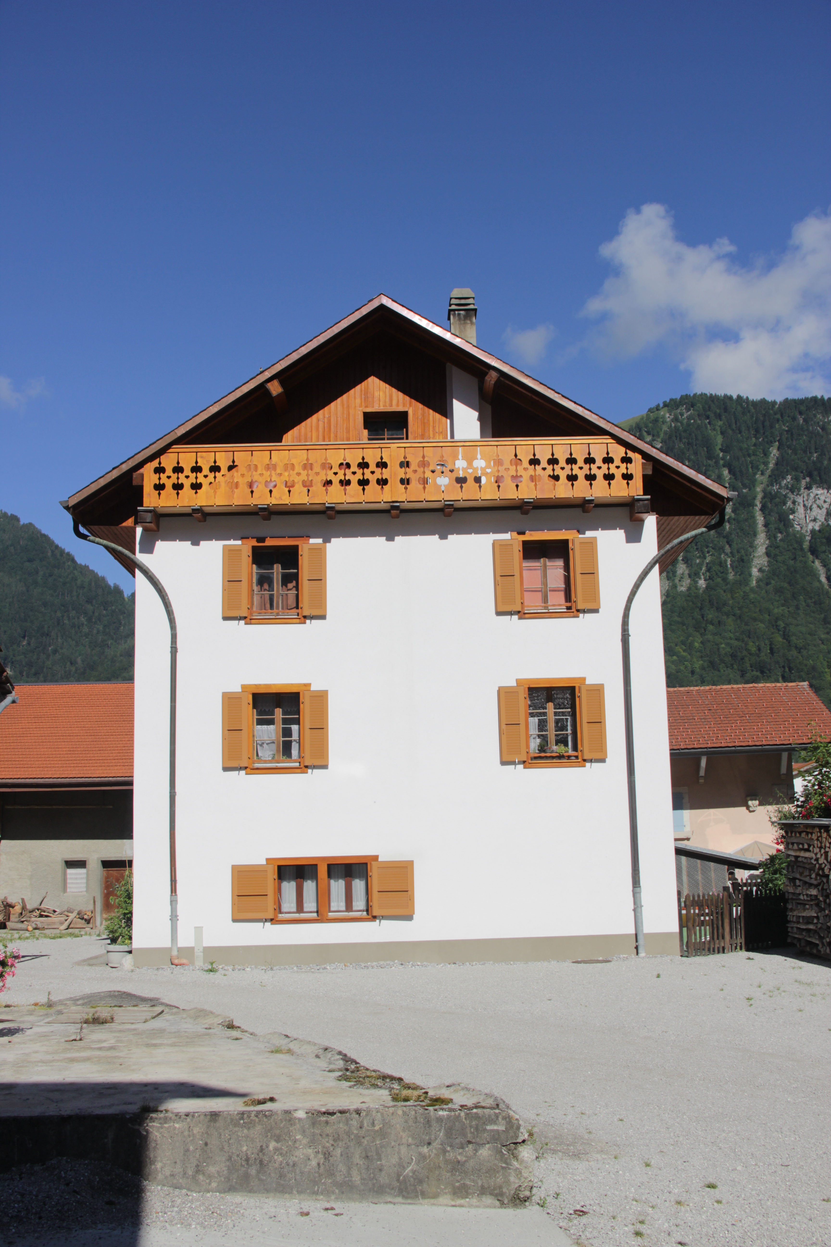
House in Grandvillard - panoramio.jpg - Panoramio upload bot

Information panel at Bounavau - panoramio.jpg - Panoramio upload bot

Alpine trail - panoramio.jpg - Panoramio upload bot

Dent de Broc and Dent du Chamois - panoramio.jpg - Panoramio upload bot

Rocks near the Col de Bounavalette - panoramio.jpg - Panoramio upload bot

Rocs at Le Curtillet - panoramio.jpg - Panoramio upload bot

Tsermon - panoramio.jpg - Panoramio upload bot

Hiking sign at Bounavau - panoramio.jpg - Panoramio upload bot

Nadelhorn, Dom and Täschhorn - panoramio.jpg - Panoramio upload bot

Wildhorn - panoramio.jpg - Panoramio upload bot

Balmhorn - panoramio.jpg - Panoramio upload bot

Rocks - panoramio (37).jpg - Panoramio upload bot

Dent d'Hérens - panoramio.jpg - Panoramio upload bot

Wildstrubel - panoramio.jpg - Panoramio upload bot

Gastlosen - panoramio.jpg - Panoramio upload bot

Oldenhorn - panoramio.jpg - Panoramio upload bot

Mont Blanc - panoramio (16).jpg - Panoramio upload bot

Wildstrubel - panoramio (1).jpg - Panoramio upload bot

Nadelhorn, Dom and Täschhorn - panoramio (1).jpg - Panoramio upload bot

Balmhorn - panoramio (1).jpg - Panoramio upload bot

1666 Grandvillard, Switzerland - panoramio.jpg - Panoramio upload bot

1666 Grandvillard, Switzerland - panoramio (1).jpg - Panoramio upload bot

1666 Grandvillard, Switzerland - panoramio (2).jpg - Panoramio upload bot

Hiking sign - panoramio.jpg - Panoramio upload bot

Hiking sign at the Col de Bounavalette - panoramio.jpg - Panoramio upload bot

Panoramic view on the trail to Plan des Eaux - panoramio.jpg - Panoramio upload bot

Panoramic view at Plan des Eaux - panoramio.jpg - Panoramio upload bot

Panoramic view from the Vanil de l'Ecri - panoramio.jpg - Panoramio upload bot

Panoramic view on the trail to Plan des Eaux - panoramio (1).jpg - Panoramio upload bot

Panoramic view from the Vanil de l'Ecri - panoramio (1).jpg - Panoramio upload bot

Panoramic view from the Vanil Noir - panoramio.jpg - Panoramio upload bot
ETH-BIB-Grandvillard-LBS H1-011695.tif - ETH-Bibliothek
ETH-BIB-Enney, Grandvillard, Haut, Gruyère-LBS H1-011694.tif - ETH-Bibliothek
ETH-BIB-Grandvillard-LBS H1-024875.tif - ETH-Bibliothek

2005-Grandvillard-Cure.jpg - Roland Zumbuehl

2005-Grandvillard-Centre.jpg - Roland Zumbuehl

2005-Grandvillard-Village.jpg - Roland Zumbuehl

In der kleinen Freiburger Gemeinde Grandvillard.jpg - Barbara Steinemann

Taouna-Brücke über die Taouna, Grandvillard FR 20220417-jag9889.jpg - Jag9889

Die Saane, Villars-sous-Mont FR – Grandvillard FR 20220417-jag9889.jpg - Jag9889

Route de la Gare-Brücke über die Saane, Villars-sous-Mont FR – Grandvillard FR 20220417-jag9889.jpg - Jag9889

Auges-Brücke über die Saane, Villars-sous-Mont FR – Grandvillard FR 20220417-jag9889.jpg - Jag9889
Flag of Grandvillard.gif - Alexphangia

CHE Grandvillard Flag.svg - SpinnerLaserzthe2nd

Les Moleson Switzerland Alps 03.jpg - Swphotouk

Les Moleson Switzerland Alps 09.jpg - Swphotouk