Wikimedi'Òc
Modes d'emploi

Cet album fait partie des albums
Cet album photos contient les sous-albums suivants :


USA Grand County, Utah age pyramid.svg - DieBucheBot

Usa-ut-moab-lionsback.jpg - File Upload Bot (Magnus Manske)

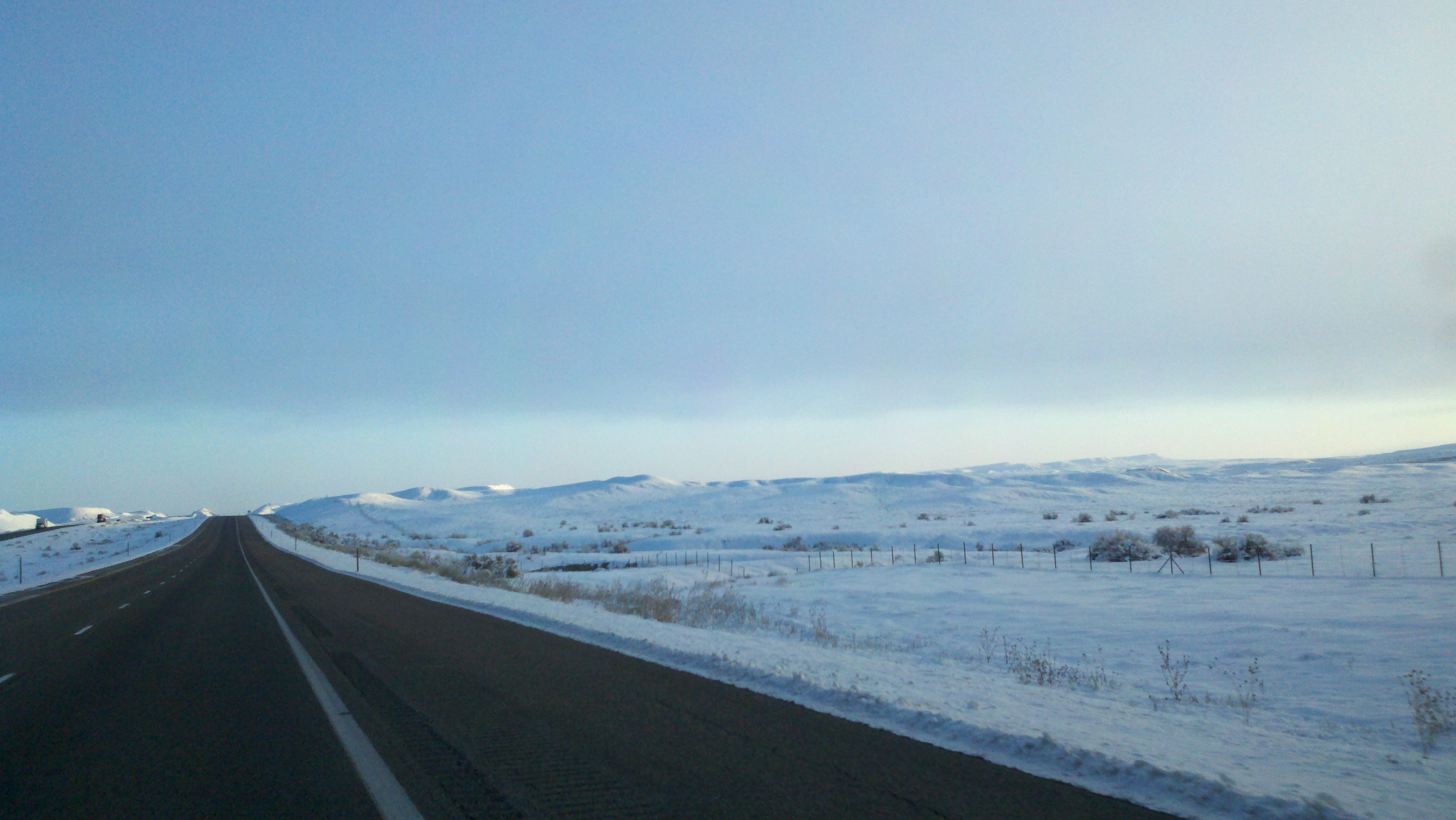
Moab Utah roadtrip.jpg - Yeliyop

N-word Bill Canyon sign.JPG - Mprintz

1993 in der naehe von moab utah.jpg - R-E-AL
1993-06-08-Jeep-Safari-bei-Moab-(Utah).ogv - R-E-AL

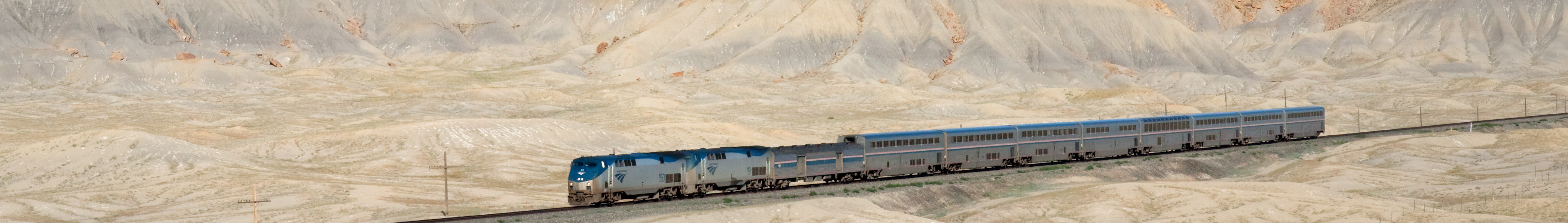
Amtrak California Zephyr Green River - Floy, Utah.jpg - Kabelleger
Federal 28-11.jpg - Trueblood786

Greentown Cross Section.jpg - Trueblood786

Federal 26-43H.jpg - Trueblood786

Amasaback.jpg - Artmill
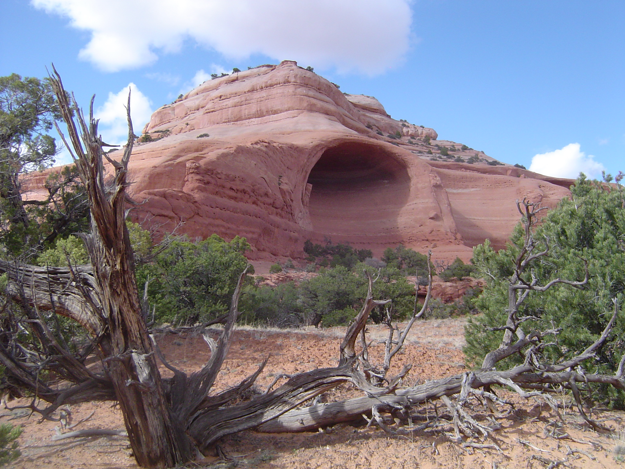
MoabAlcove.JPG - Citypeek
Canyon Panorama.tif - Drawingshadows

LIZARD - NARA - 545553.jpg - US National Archives bot

DESERT COTTONTAIL - NARA - 545557.jpg - US National Archives bot

CATTLE ARE PERMITTED TO GRAZE ON THIS LAND JUST OUTSIDE CANYONLANDS NATIONAL PARK - NARA - 545575.jpg - US National Archives bot

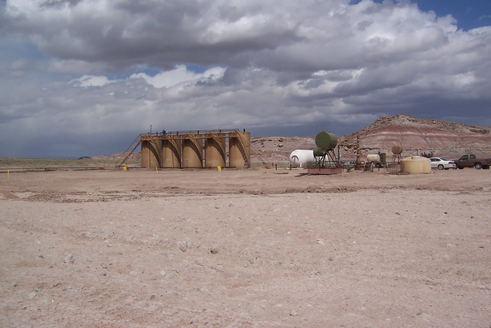
PIPELINES OF THE SALT SETTLING PONDS OF THE TEXAS GULF SULPHUR COMPANY. TOGETHER WITH URANIUM, POTASH FORMS ONE OF... - NARA - 545615.jpg - US National Archives bot

PRINCE'S PLUME - NARA - 545716.jpg - US National Archives bot

YUCCA - NARA - 545717.jpg - US National Archives bot

UTAH-NEAR MOAB - NARA - 545723.jpg - US National Archives bot

PRICKLY PEAR CACTUS BLOSSOMS - NARA - 545727.jpg - US National Archives bot

CROWDED WITH SIGHTSEERS, THE STERN-WHEELER "CANYON KING" SETS OFF ON ITS MAIDEN VOYAGE. LARGER AND MORE COMFORTABLE... - NARA - 545736.jpg - US National Archives bot

DEAD TREE WITH THE MOAB CITY DUMP IN THE BACKGROUND. ASIDE FROM AUTOS, THE DUMP SEEMS TO BE THE MAIN SOURCE OF AIR... - NARA - 545747.jpg - US National Archives bot
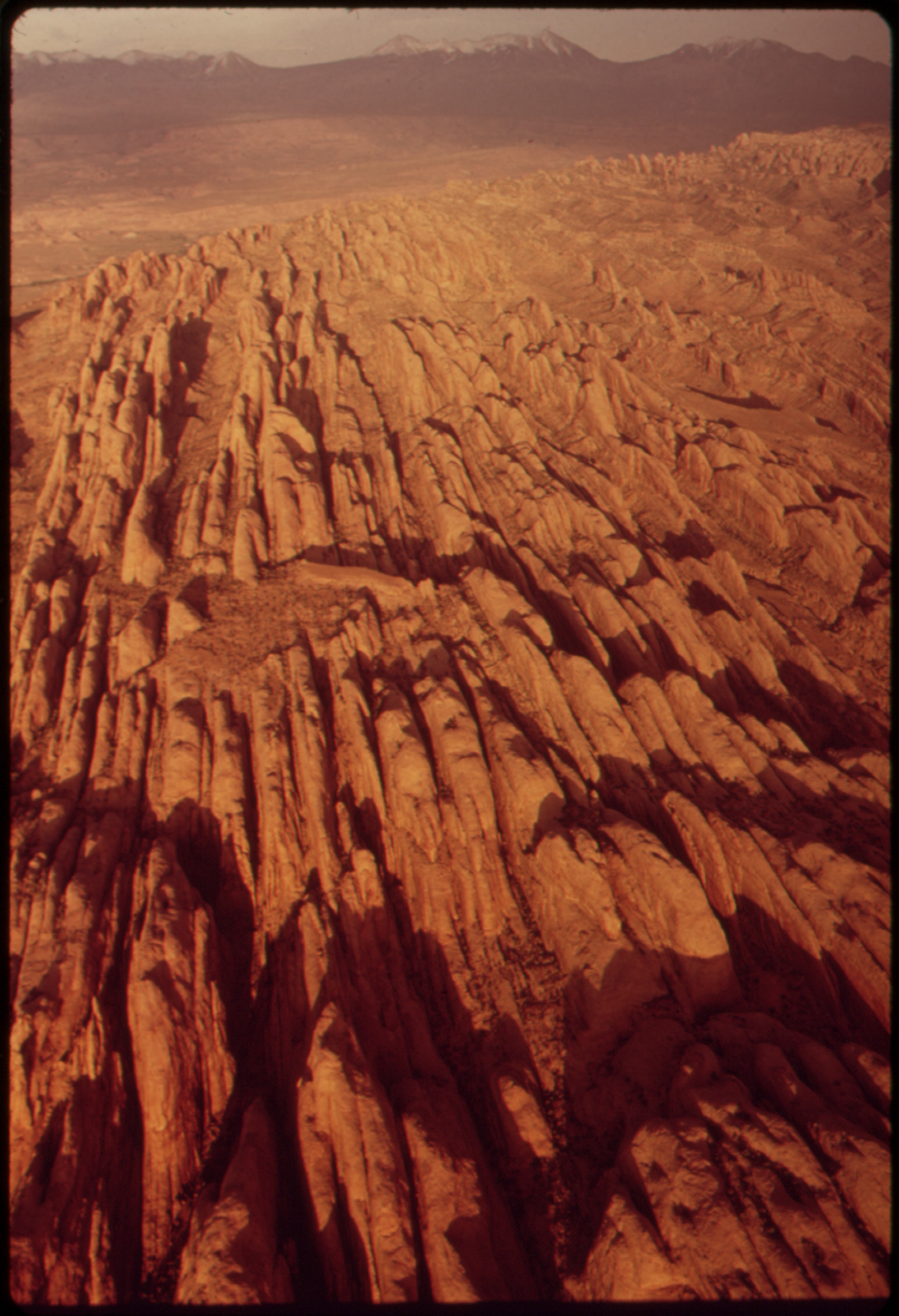
AERIAL VIEW NEAR CANYONLANDS NATIONAL PARK SHOWING "THE FINS," JUST SOUTH OF MOAB. THESE REMARKABLE FORMATIONS LIE... - NARA - 545806.jpg - US National Archives bot

BONY REMAINS OF DEAD CATTLE OUTSIDE THE MOAB CITY DUMP (FROM THE DOCUMERICA-1 EXHIBITION. FOR OTHER IMAGES IN THIS... - NARA - 552998.jpg - US National Archives bot

Canyon Panorama-sRGB.jpg - Saibo

Morning Reflections.JPG - Kelliefc
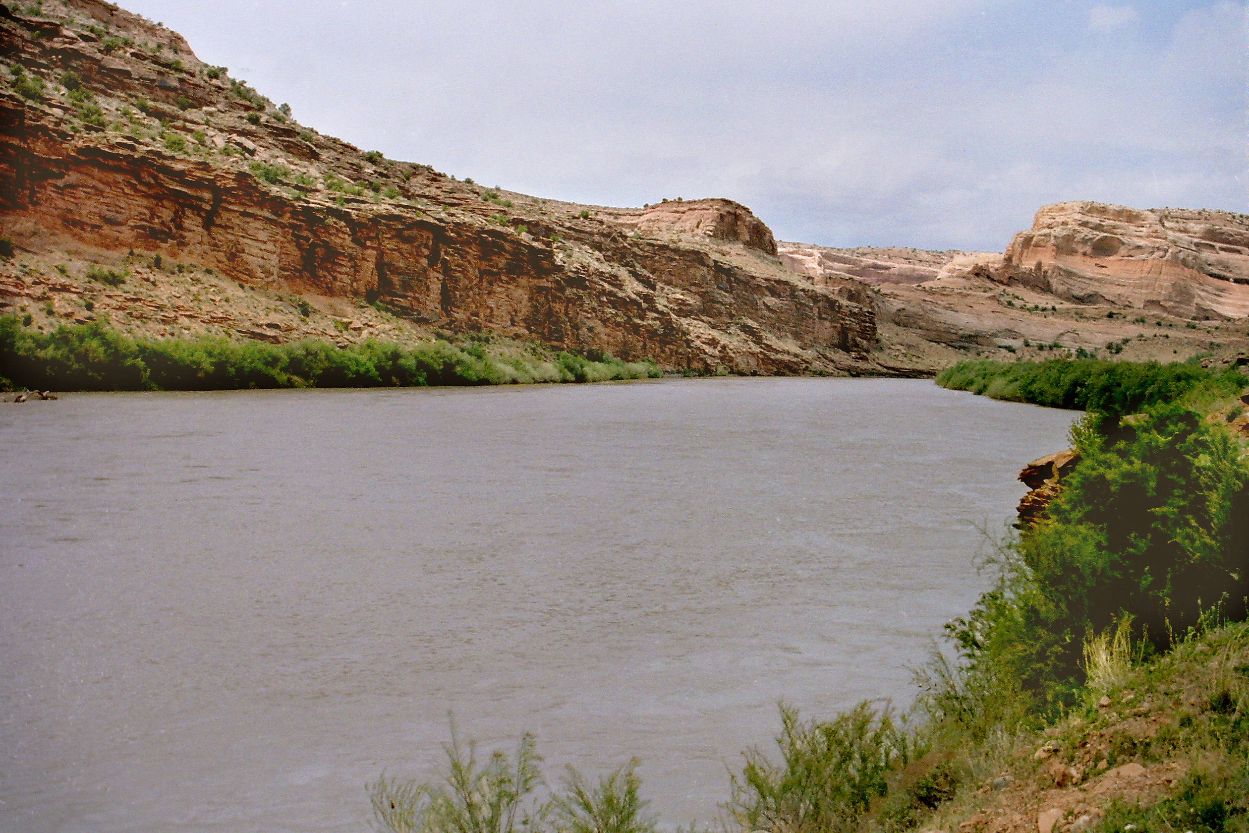
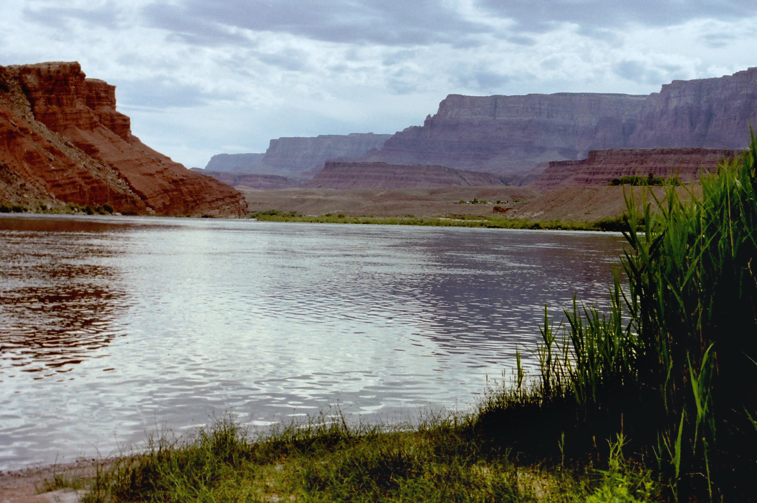
Colorado River01.jpg - Nikater

Colorado River02.jpg - Nikater
Colorado River05.jpg - Nikater

Colorado River071.jpg - Nikater
Colorado River06.jpg - Nikater

Reel-rock-photo-moab.jpg - Forresbj

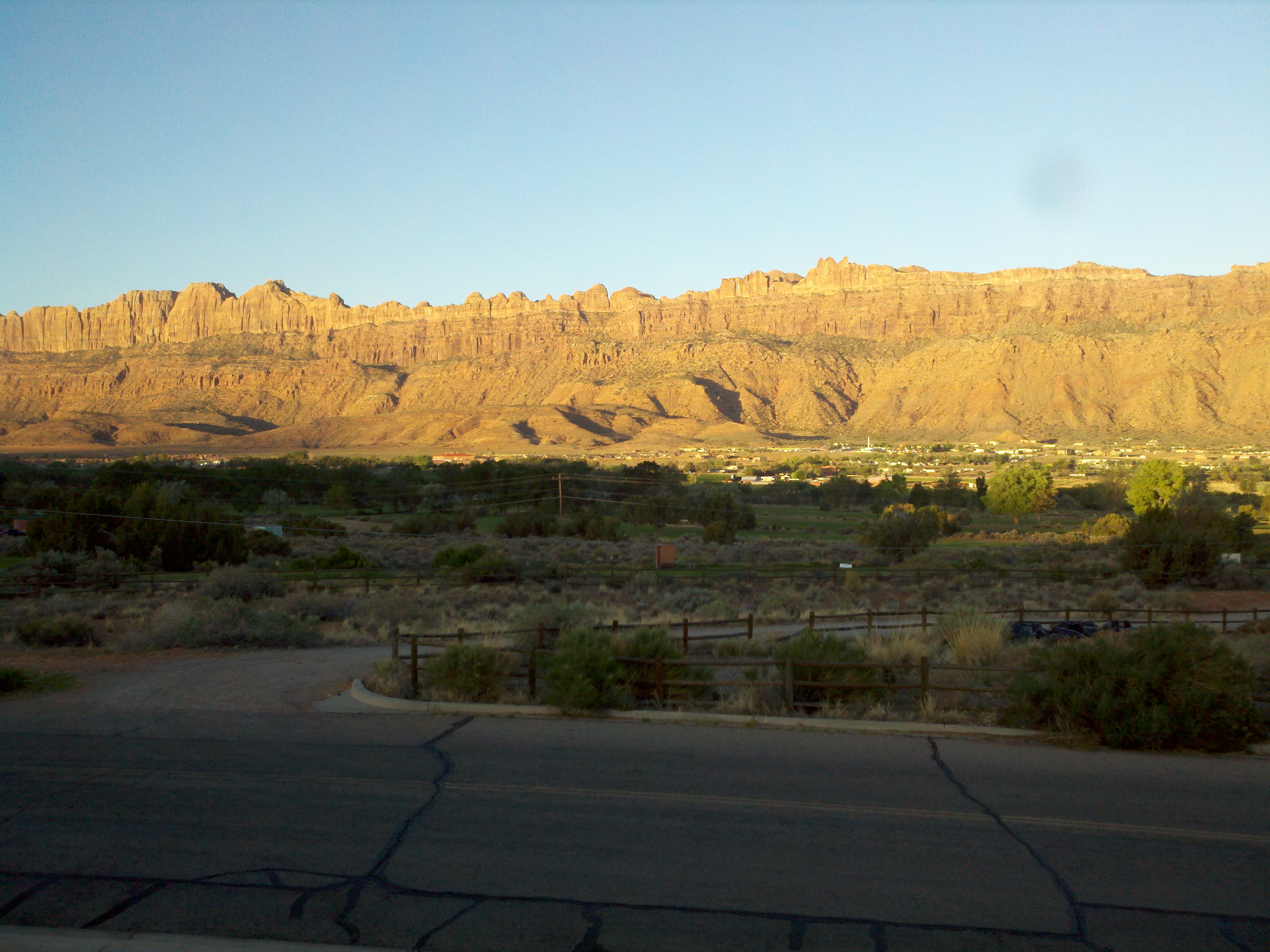
Overlook to the Colorado River, Moab.jpg - Russavia

Balancing Rock in Utah.jpg - Russavia

Moab Mill Tailings Removal Project.jpg - Bomazi

Horsethief Switchbacks (7257584216).jpg - File Upload Bot (Magnus Manske)

Felony Tower and Woodrruff Bottom (7257582874).jpg - File Upload Bot (Magnus Manske)

Amtrak California Zephyr banner.jpg - PerryPlanet

Californiazephyr banner.jpg - Globe-trotter

Landscape near Cisco viewed the from the California Zephyr in Grand County, UT.jpg - Bidgee

Landscape in Grand County, UT viewed the from the California Zephyr.jpg - Bidgee

Landscape in Grand County, UT viewed the from the California Zephyr (1).jpg - Bidgee
Landscape in Grand County, UT viewed the from the California Zephyr (2).jpg - Bidgee

Landscape in Grand County, UT viewed the from the California Zephyr (3).jpg - Bidgee

Landscape in Grand County, UT viewed the from the California Zephyr (4).jpg - Bidgee

Landscape in Grand County, UT viewed the from the California Zephyr (5).jpg - Bidgee

Landscape in Grand County, UT viewed the from the California Zephyr (6).jpg - Bidgee

Landscape in Grand County, UT viewed the from the California Zephyr (7).jpg - Bidgee

Landscape in Grand County, UT viewed the from the California Zephyr (8).jpg - Bidgee

Landscape in Grand County, UT viewed the from the California Zephyr (9).jpg - Bidgee

Landscape in Grand County, UT viewed the from the California Zephyr (10).jpg - Bidgee

Landscape in Grand County, UT viewed the from the California Zephyr (11).jpg - Bidgee

Landscape in Grand County, UT, near the UT-CO border, viewed the from the California Zephyr.jpg - Bidgee

Moab, Utah from 30000 ft. (5572911812).jpg - File Upload Bot (Magnus Manske)

A259, Moab, Utah, USA, Gold Bar Rim, looking north, 2008.JPG - Brian W. Schaller

West of Grand Junction CA (12136986296).jpg - Russavia

Sagebrush Rebellion July 4th, 1980 Grand County Utah.JPG - TheRealDeJureTour

Railway tracks near a level crossing with SR-313, Utah 20110815 2.jpg - DXR

Dinosaur tracks Copper Ridge 1.jpg - Dschwen

Dinosaur tracks Copper Ridge 6.jpg - Dschwen

BIker Portrait (10812262166).jpg - Wilfredor

A Light in the Night (6625771707).jpg - Wilfredor

Moab Landscape (6607825369).jpg - Wilfredor

Sand Sky and Slickrock (5185361113).jpg - Wilfredor

Bouquet (5170503366).jpg - Wilfredor

Good Morning Moab (5156887780).jpg - Wilfredor

Rock face (15699816263).jpg - Wilfredor

Great Salt Valley overlook (19478386015).jpg - Wilfredor

Great Salt Valley Overlook (19290838778).jpg - Wilfredor

Cascading potholes (19452324296).jpg - Wilfredor

Great Salt Valley Overlook (18855901504).jpg - Wilfredor

Survival in the desert (8729910422).jpg - Wilfredor

Rock Wave (8728789769).jpg - Wilfredor

Canyon reflections (8729909522).jpg - Wilfredor

Desert Driftwood (8729911186).jpg - Wilfredor

Desert Stream (8728792657).jpg - Wilfredor

River Road (3696834316).jpg - Wilfredor

Moab, UT (23471068623).jpg - INeverCry

Moab, UT (24015259021).jpg - INeverCry
Moab, UT (23471069523).jpg - INeverCry

Moab, UT (24097855985).jpg - INeverCry

Moab, UT (24071772296).jpg - INeverCry

Moab, UT (24097854975).jpg - INeverCry

Moab, United States.jpg - NMaia

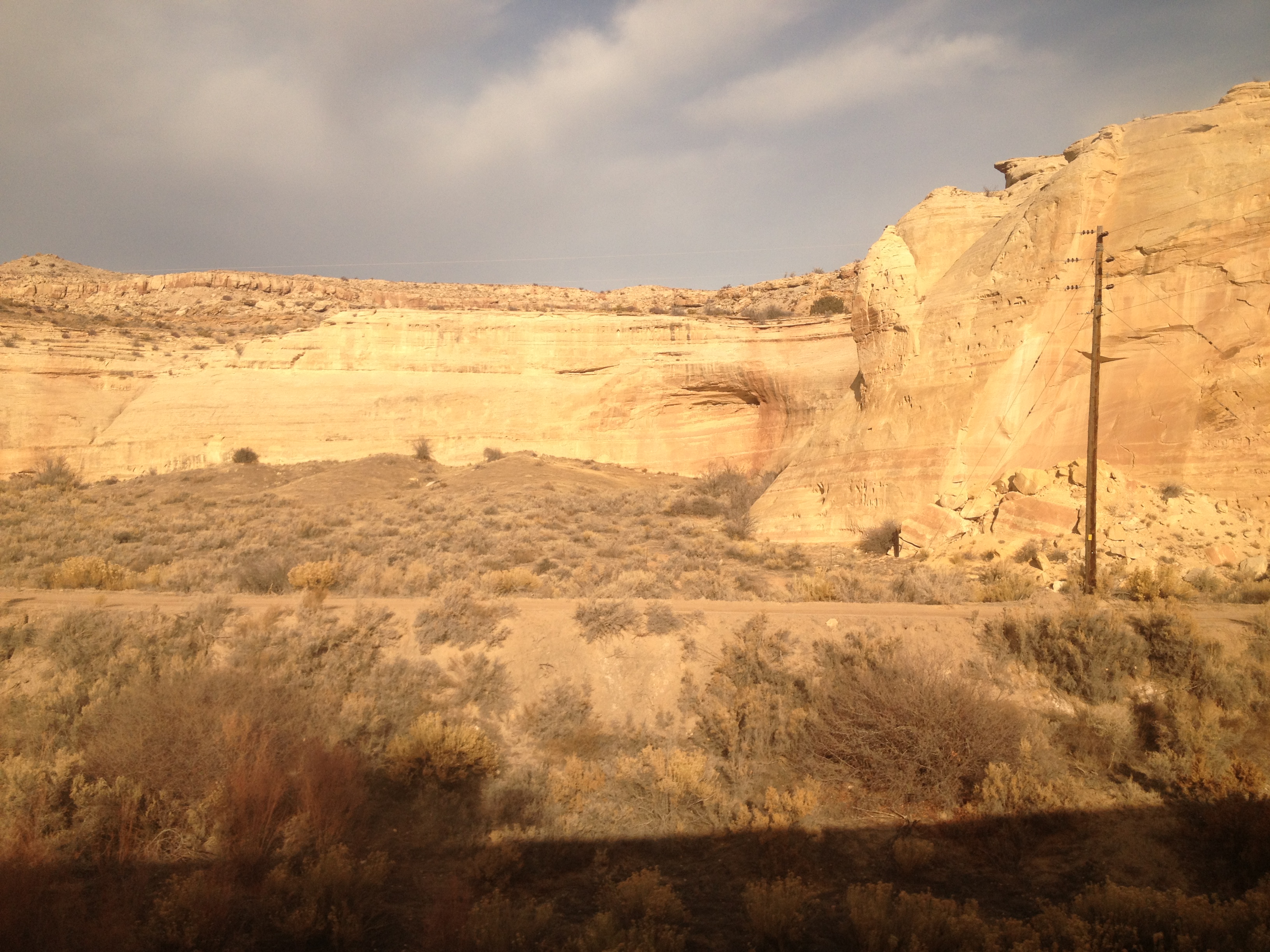
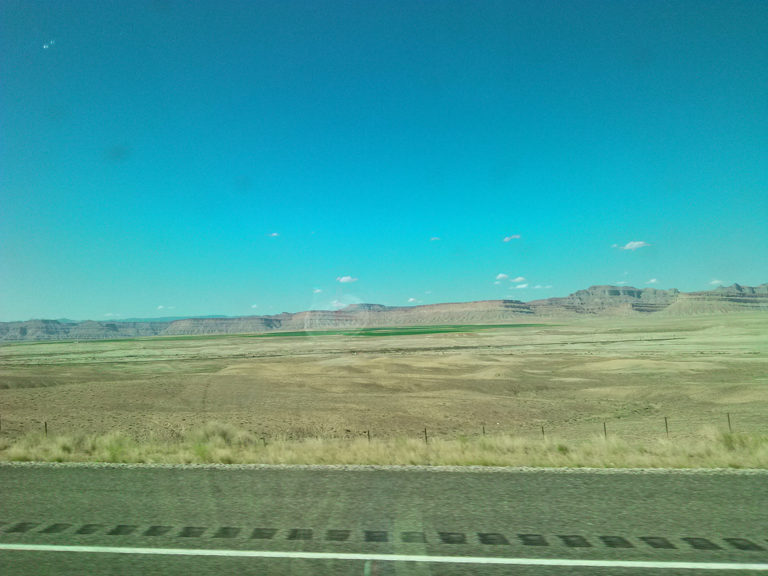
Canyon-landscape-Thompson-Utah.jpeg - Rebajae

Railway near Moab, Utah.jpg - Clément Bardot

Ylmob 1b (14656240616).jpg - Vanished Account Byeznhpyxeuztibuo

Ylmob 2b (14699123063).jpg - Vanished Account Byeznhpyxeuztibuo

- panoramio (2946).jpg - Panoramio upload bot
I-70 - panoramio.jpg - Panoramio upload bot

Gemini Bridges - panoramio.jpg - Panoramio upload bot

Overlook from Gemini Bridges Road - panoramio.jpg - Panoramio upload bot

Potash road big bear - panoramio.jpg - Panoramio upload bot

Moab Man - panoramio.jpg - Panoramio upload bot

I-70 near Exit 204 - Cisco - panoramio.jpg - Panoramio upload bot
Grand County, UT, USA - panoramio.jpg - Panoramio upload bot

Grand County, UT, USA - panoramio (2).jpg - Panoramio upload bot

Moab, UT 84532, USA - panoramio.jpg - Panoramio upload bot

Moab, UT 84532, USA - panoramio (1).jpg - Panoramio upload bot

Grand County, UT, USA - panoramio (3).jpg - Panoramio upload bot

Cool Valley - panoramio.jpg - Panoramio upload bot

Grand County, UT, USA - panoramio (17).jpg - Panoramio upload bot

Grand County, UT, USA - panoramio (18).jpg - Panoramio upload bot

Grand County, UT, USA - panoramio (19).jpg - Panoramio upload bot

Bar M area - panoramio.jpg - Panoramio upload bot

Bar M parking - panoramio.jpg - Panoramio upload bot

Grand County, UT, USA - panoramio (21).jpg - Panoramio upload bot

Grand County, UT, USA - panoramio (22).jpg - Panoramio upload bot

Grand County, UT, USA - panoramio (23).jpg - Panoramio upload bot

North 40 - panoramio.jpg - Panoramio upload bot

Grand County, UT, USA - panoramio (24).jpg - Panoramio upload bot

Grand County, UT, USA - panoramio (25).jpg - Panoramio upload bot

Bar M - panoramio.jpg - Panoramio upload bot

Bar M - panoramio (1).jpg - Panoramio upload bot

Williams Bottom Camping Area dyeclan.com - panoramio.jpg - Panoramio upload bot

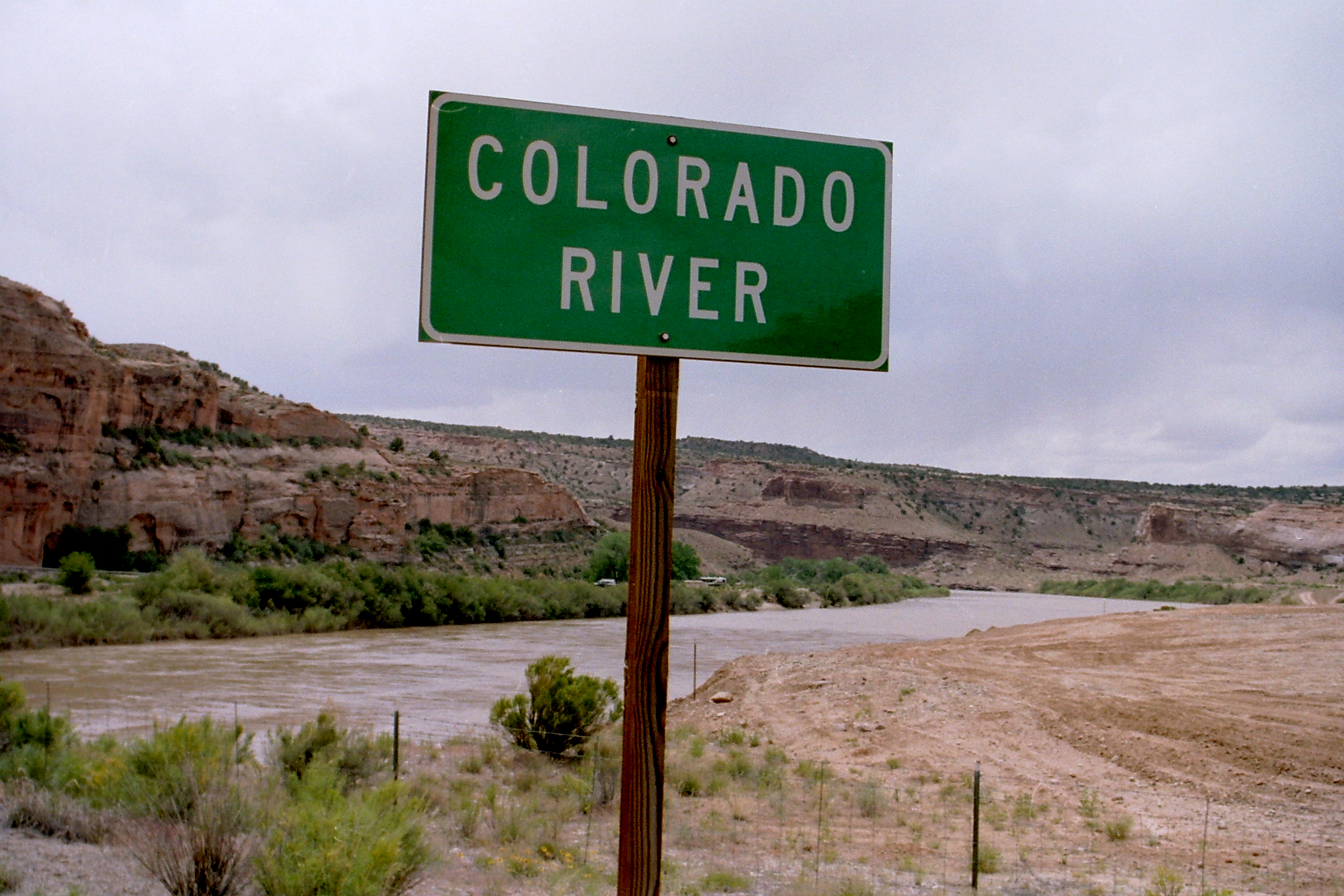
Colorado River, Southern Utah - panoramio.jpg - Panoramio upload bot

Red Canyon River 2004 - panoramio.jpg - Panoramio upload bot

Cattle herded along US-191, Oct 09.jpg - An Errant Knight

Campsite along the Colorado River - panoramio.jpg - Panoramio upload bot

Turn west to continue on UT-128 East - panoramio.jpg - Panoramio upload bot

Mohab Canyon near Arches NP, Utah 8-25-12 (7993174591).jpg - Sebastian Wallroth

USA - Far West (14792664730).jpg - Fæ

Shaffer Trail 2005-07-26 (3711600884).jpg - Fæ

Shaffer Trail 2005-07-26 (3710789977).jpg - Fæ
Grand County, UT, USA - panoramio (28).jpg - Panoramio upload bot

Grand County, UT, USA - panoramio (29).jpg - Panoramio upload bot

Grand County, UT, USA - panoramio (30).jpg - Panoramio upload bot

Grand County, UT, USA - panoramio (31).jpg - Panoramio upload bot

Grand County, UT, USA - panoramio (32).jpg - Panoramio upload bot

Grand County, UT, USA - panoramio (33).jpg - Panoramio upload bot

Utah State Route 128 (6352000838).jpg - Coekon

Moab, United States (Unsplash aMgRySE38Yw).jpg - Fæ

Upper Big Bend Campground, Moab, United States (Unsplash).jpg - Fæ

Tranquility (Unsplash).jpg - Fæ

Moab, United States (Unsplash Lwx3byZvxYM).jpg - Fæ

Spring in the La Sals (Unsplash).jpg - Fæ

Exploring Arches NP (Unsplash).jpg - Fæ

Extreme Desert Climbs (Unsplash).jpg - Fæ

Moab, USA (Unsplash).jpg - Fæ

Moab Panorama (Unsplash).jpg - Fæ

ISS-52 Solar Evaporation Ponds near Moab, Utah.jpg - Ras67

Amtrak SF - Chicago, Feb-2018 (39515297765).jpg - Geo Swan
Moab Country Morning (5074104186).jpg - Hiàn (alt)

Moab Plateau Country (5168375038).jpg - Hiàn (alt)

2016.10.22 Canyonlands NP, UT (85).jpg - NealVickers

ColoradoRiverByMoab.jpg - Burley Packwood

Highline in Moab.jpg - Hpepper53

Dinosaur Diamond Prehistoric Highway - Biker Approaching on Slickrock - NARA - 7718070.jpg - US National Archives bot

Bartlett Wash in high flow (evening, 11 May 2014) (Grand County, Utah, USA) (32776754510).jpg - Ser Amantio di Nicolao

Courthouse Wash in high flow (evening, 11 May 2014) (Grand County, Utah, USA) (33032003281).jpg - Ser Amantio di Nicolao

Shinarump Mine Entrance.jpg - Foreade

Shinarump Mine Waste Rock.jpg - Foreade

Shinarump Mine Waste Rock 2.jpg - Foreade
Soil survey of Grand County, Utah, central part (IA soilsurveyofgran00hans).pdf - Fæ

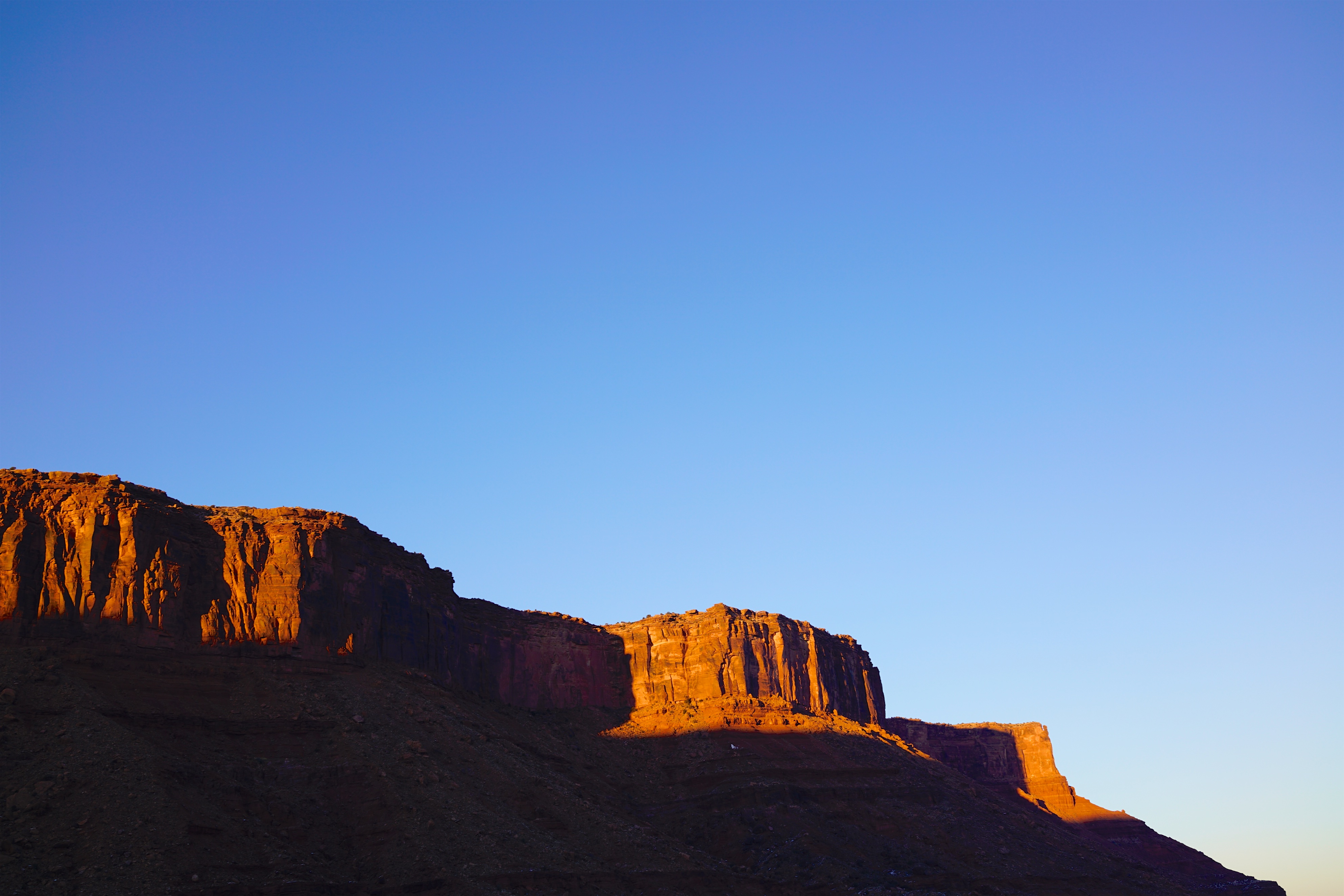
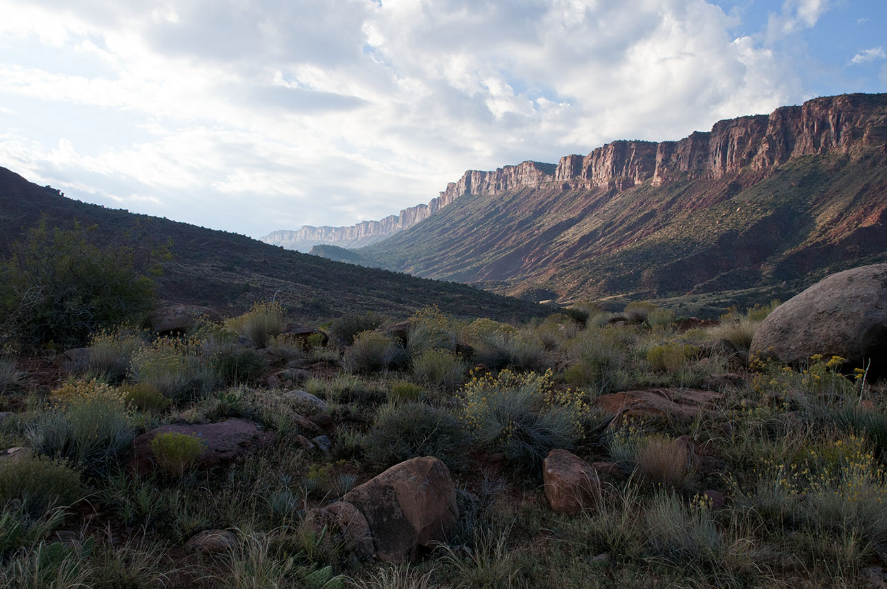
Castle Valley and surroundings.jpg - Carter Pape

Sand-flats.jpg - Carter Pape

Moab 001.jpg - DestinationFearFan

Moab (239445302).jpg - Vis M

Library sign - Grand County Public Library, Moab.jpg - Rhagfyr

Grand County 1997 01.jpg - LBM1948

Grand County 1997 02.jpg - LBM1948

Grand County 1997 03.jpg - LBM1948

Grand County 1997 05.jpg - LBM1948

View from California Zephyr near Westwater, Utah - June 2022 - Sarah Stierch.jpg - Missvain
Across the United States by train banner.jpg - SHB2000

Halfway Stage Station, Grand County, Utah (53078056295).png - OptimusPrimeBot

Looking Glass Rock Wayside Display -- Grand County, Utah (53077646151).png - OptimusPrimeBot

Upper Courthouse Spring -- Grand County, Utah (53078145243).png - TheImaCow

Dalton Wells CCC & Internment Camp-- Grand County, Utah (52946325320).png - TheImaCow

Pipe Dream Trailhead-- Grand County, Utah (52945936506).png - OptimusPrimeBot

Moab Canyon Pathway Trailhead-- Grand County, Utah (52946325205).png - OptimusPrimeBot

Courthouse Wash Silhouettes-- Grand County, Utah (52861841552).jpg - OptimusPrimeBot

Blue Hills ATV Trailhead-- Grand County, Utah (52862168236).jpg - OptimusPrimeBot
Highway 6 & 50 Auto Route-- Grand County, Utah (52862606318).png - OptimusPrimeBot

Westwater Boat Launch-- Grand County, Utah (52862606348).jpg - OptimusPrimeBot

Bridge on Highway 6 & 50 Auto Route-- Grand County, Utah (52862168131).png - OptimusPrimeBot

Halfway Stage Station-- Grand County, Utah (52862606203).png - OptimusPrimeBot

Moab Canyon Pathway-- Grand County, Utah (52862334009).png - OptimusPrimeBot

Moab Canyon Pathway-- Grand County, Utah (52862168006).jpg - OptimusPrimeBot

Sego Canyon Petroglyphs & Pictographs-- Grand County, Utah (52862333934).jpg - OptimusPrimeBot

Utah Welcome Center-- Grand County, Utah (52861590787).jpg - OptimusPrimeBot

Trail Element -1 from East -- Green River Cutoff, Grand County, Utah (51883686058).jpg - OptimusPrimeBot

East Trailhead Green River Gap Parking Lot-- Grand County, Utah (51869169432).jpg - OptimusPrimeBot

Trail Element -1 from East -- Green River Cutoff, Grand County, Utah (51870130056).jpg - OptimusPrimeBot

View of the Gap Looking East-- Green River Gap, Grand County, Utah (51869168317).jpg - OptimusPrimeBot

Green River Gap West Trailhead-- Grand County, Utah (51798201270).jpg - OptimusPrimeBot

Green River Gap Wagon Grade-- Grand County, Utah (51046598388).jpg - OptimusPrimeBot

Green River Gap-- Grand County, Utah (51047410622).jpg - OptimusPrimeBot

La Sals-- Grand County, Utah (51047410367).jpg - OptimusPrimeBot

Green River Gap-- Grand County, Utah (51023492721).jpg - OptimusPrimeBot