Wikimedi'Òc
Modes d'emploi

Cet album fait partie des albums
Cet album photos contient les sous-albums suivants :


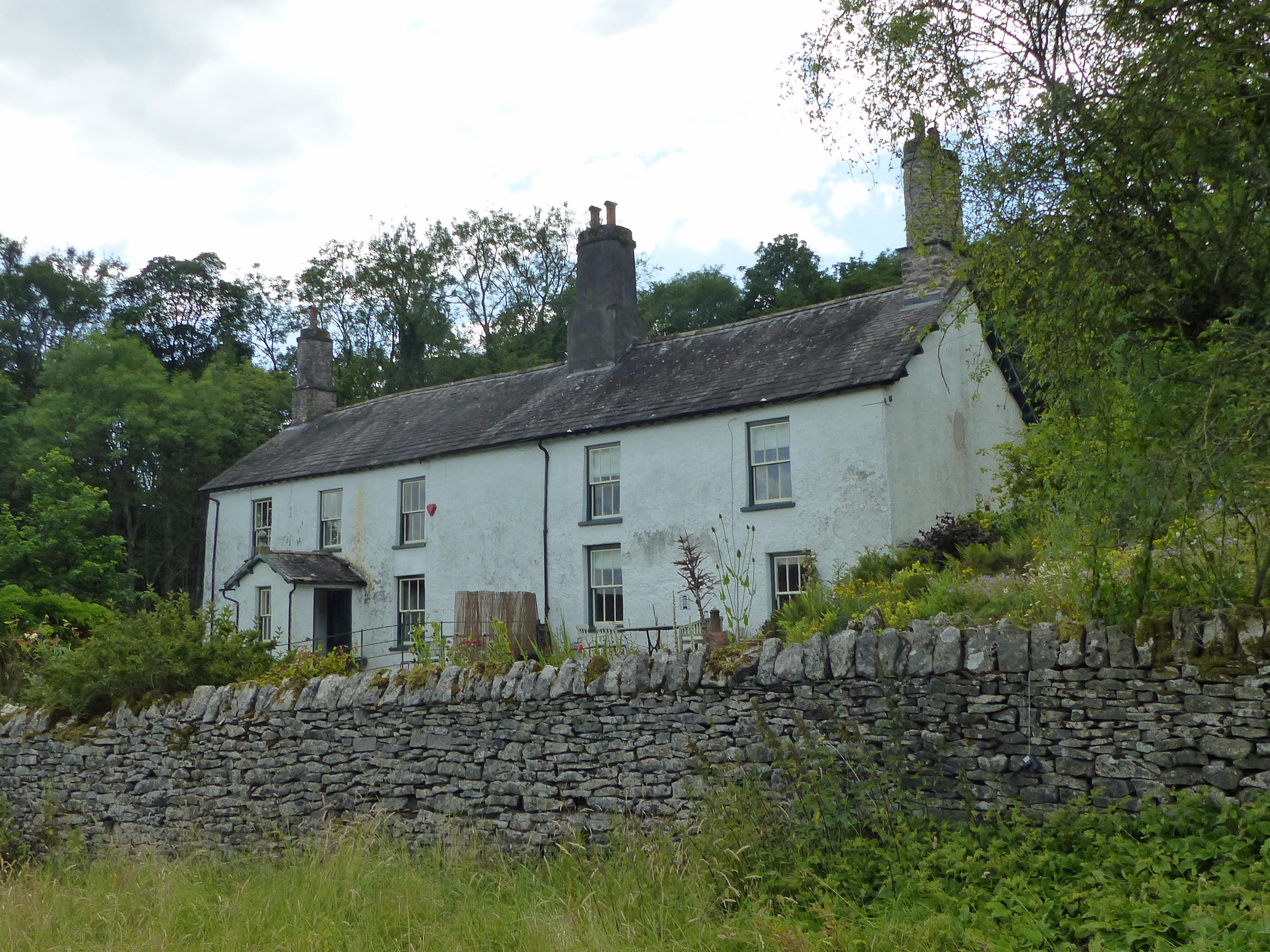
Thimble Hall area - panoramio.jpg - Panoramio upload bot

Hawkshead Methodist Chapel - geograph.org.uk - 169287.jpg - GeographBot

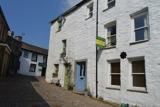
Walker Ground Cottage - panoramio.jpg - Panoramio upload bot

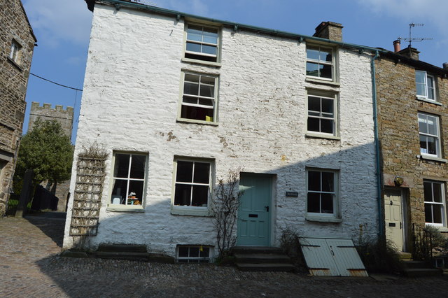
Sun Cottage Café, Hawkshead - geograph.org.uk - 503287.jpg - GeographBot

Wayside Cottage, Hawkshead Hill.jpg - Dave.Dunford

Black Beck Lodge.jpg - Dave.Dunford

Jessamine Cottage and Rose Cottage, Hawkshead.jpg - Dave.Dunford

Cottage in Red Lion Yard, Hawkshead.jpg - Dave.Dunford

Laburnum House, Hawkshead.jpg - Dave.Dunford

Grandy Nook Cottage 02.jpg - Dave.Dunford

Grandy Nook Cottage 01.jpg - Dave.Dunford

Gilmarver House, Hawkshead.jpg - Dave.Dunford

Bend or Bump, Hawkshead.jpg - Dave.Dunford

Brown Cow Cottages, Hawkshead.jpg - Dave.Dunford

Wordsworth House, Hawkshead.jpg - Dave.Dunford

Pillar Cottage, Hawkshead.jpg - Dave.Dunford

Pillar Cottage, Hawkshead 02.jpg - Dave.Dunford

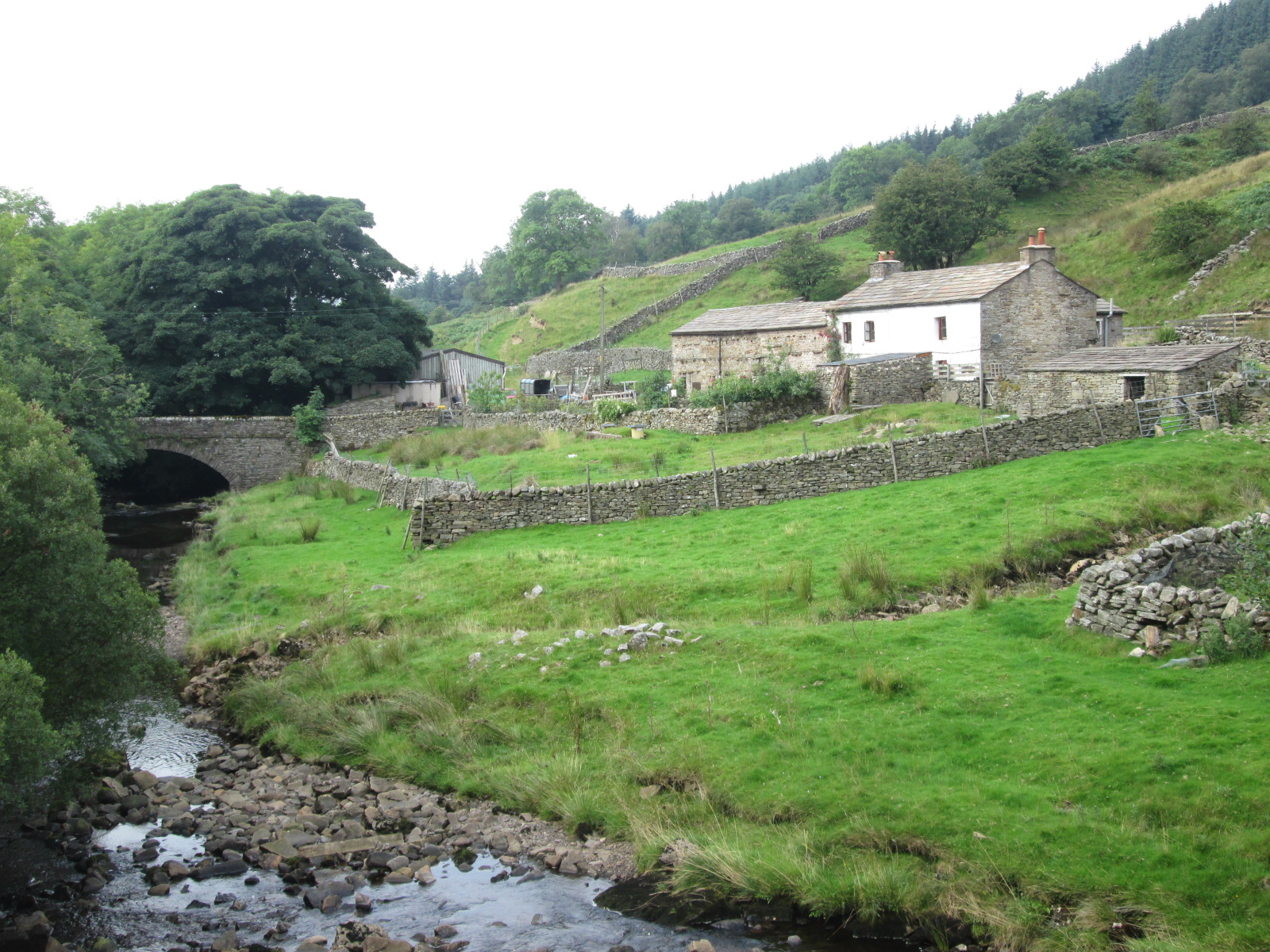
Brow Farm - geograph.org.uk - 1267232.jpg - GeographBot

Rayson House - geograph.org.uk - 1144086.jpg - GeographBot
Rayson Hall - geograph.org.uk - 1140890.jpg - GeographBot

Rayson Hall - geograph.org.uk - 1140888.jpg - GeographBot

Derelict buildings at Hole Farm - geograph.org.uk - 4715003.jpg - GeographBot

House in Unthank - geograph.org.uk - 5190463.jpg - GeographBot

House in Garrigill - geograph.org.uk - 4692624.jpg - GeographBot

Parade Street, Barrow-in-Furness.jpg - Stevvvv4444
Ship Street, Barrow Island.jpg - Stevvvv4444

Crosthwaite House - geograph.org.uk - 73845.jpg - GeographBot

Low Yewdale Farm - geograph.org.uk - 32759.jpg - GeographBot

Higham Hall - geograph.org.uk - 79950.jpg - GeographBot

Scale Gill Foot Farm , Dentdale - geograph.org.uk - 31056.jpg - GeographBot

17th Century Westmorland Farmhouse - Plumgarths - geograph.org.uk - 86336.jpg - GeographBot

Bowness House, Bowness on Solway - geograph.org.uk - 86223.jpg - GeographBot

Dower House Scarness. - geograph.org.uk - 86642.jpg - GeographBot

Seascale Hall. - geograph.org.uk - 84161.jpg - GeographBot

Winster House - geograph.org.uk - 135094.jpg - GeographBot
Bowness Hall - geograph.org.uk - 164213.jpg - GeographBot

Georgian houses, Thorney Hill, Kendal - geograph.org.uk - 168340.jpg - GeographBot

The Rectory. - geograph.org.uk - 119913.jpg - GeographBot

Causewayhead - geograph.org.uk - 572004.jpg - File Upload Bot (Magnus Manske)

Rose Bank, Dacre village - geograph.org.uk - 279391.jpg - GeographBot

Rose Cottage, Long Marton - geograph.org.uk - 276393.jpg - GeographBot

Thatched Cottage and 'Saunders' , Long Marton - geograph.org.uk - 276362.jpg - GeographBot

Bowness House Farm - geograph.org.uk - 291912.jpg - GeographBot

Cottage near the Village Hall, Temple Sowerby - geograph.org.uk - 290858.jpg - GeographBot

Aldby Farmhouse - 17th Century - geograph.org.uk - 301575.jpg - GeographBot
House, High Stott Park - geograph.org.uk - 303661.jpg - GeographBot

Ellers Farm - geograph.org.uk - 339910.jpg - GeographBot

St. Andrews, Botcherby - geograph.org.uk - 342954.jpg - GeographBot

Dale Head - geograph.org.uk - 367952.jpg - GeographBot

George House - geograph.org.uk - 382439.jpg - GeographBot
Manor House, Kirkoswald - geograph.org.uk - 382438.jpg - GeographBot

Black Horse - geograph.org.uk - 405251.jpg - GeographBot

Pike Hill - geograph.org.uk - 405099.jpg - GeographBot
English Cottage - geograph.org.uk - 415975.jpg - GeographBot

Slack House - geograph.org.uk - 416916.jpg - GeographBot

Abbot Holme - geograph.org.uk - 436605.jpg - GeographBot
Slack Farm - geograph.org.uk - 440698.jpg - GeographBot

Stool End Farm - geograph.org.uk - 539671.jpg - GeographBot

Millom church during a snow fall - geograph.org.uk - 540532.jpg - GeographBot

Longthwaite Farm, Longthwaite - geograph.org.uk - 554866.jpg - GeographBot

Cockgate, Gowrie, Baggrow - geograph.org.uk - 564258.jpg - GeographBot

Oxen Fell cottage - geograph.org.uk - 573251.jpg - GeographBot

Cottages at Howgill - geograph.org.uk - 677329.jpg - GeographBot
Rigmaden Park - geograph.org.uk - 708372.jpg - GeographBot

House adjacent to the Churchyard of St Mary's, Kirkby Lonsdale - geograph.org.uk - 744654.jpg - GeographBot
Broadfield House - geograph.org.uk - 792803.jpg - GeographBot
Hud's House - geograph.org.uk - 792815.jpg - GeographBot

Stoneraise - geograph.org.uk - 820710.jpg - GeographBot

Blea Tarn House, Little Langdale - geograph.org.uk - 842966.jpg - GeographBot

Cottage with spinning gallery, Low Tilberthwaite - geograph.org.uk - 889093.jpg - GeographBot
High Tilberthwaite farm - geograph.org.uk - 889099.jpg - GeographBot
Low Hall Garth, Little Langdale - geograph.org.uk - 889122.jpg - GeographBot

The Blue Pig guest house - geograph.org.uk - 889416.jpg - GeographBot

Derelict farmhouse in Deepdale - geograph.org.uk - 904318.jpg - GeographBot
The Old Post Office at Winster - geograph.org.uk - 920303.jpg - GeographBot

Portland Square Gardens - geograph.org.uk - 947273.jpg - GeographBot
Rose Castle - geograph.org.uk - 988177.jpg - GeographBot

Rose Cottage, Bowness - geograph.org.uk - 989301.jpg - GeographBot

High Yewdale Farm - geograph.org.uk - 1026754.jpg - GeographBot

Cottages, Lorton - geograph.org.uk - 1034323.jpg - GeographBot

St George's United Reformed Church, Carlisle - geograph.org.uk - 1087710.jpg - GeographBot

Market Place (The Square), Kirkoswald - geograph.org.uk - 1144812.jpg - GeographBot

Bridge End, Little Langdale - geograph.org.uk - 1249654.jpg - GeographBot

Fell Foot Farm - geograph.org.uk - 1252174.jpg - GeographBot

Stoneraise - geograph.org.uk - 1259583.jpg - GeographBot
Aysgarth Cottage and Glen Lea - geograph.org.uk - 1306483.jpg - GeographBot

Chester Terrace, Main Street - geograph.org.uk - 1306486.jpg - GeographBot

Main Street at Grange-over-Sands - geograph.org.uk - 1517560.jpg - GeographBot

Near Sawrey, Cumbria - geograph.org.uk - 1548958.jpg - GeographBot

Lakeland Farmhouse - geograph.org.uk - 1550091.jpg - GeographBot

Waterfoot Mansion - geograph.org.uk - 1577401.jpg - GeographBot

Skelwith Fold - geograph.org.uk - 1597078.jpg - GeographBot

Low Arnside Farm - geograph.org.uk - 1627799.jpg - GeographBot
Old buildings on Castle Street - geograph.org.uk - 1638430.jpg - GeographBot
Monk Coniston - geograph.org.uk - 1739982.jpg - GeographBot

Entrance to Holker Hall - geograph.org.uk - 1751900.jpg - GeographBot

Houses near Shorthorn Farm - geograph.org.uk - 1751901.jpg - GeographBot

The Dales Way (geograph 3195844).jpg - EP111
The tower of Norman House (geograph 1987464).jpg - WereSpielChequers

North Lodge, Allonby.jpg - Geograph Update Bot
Barracks House, Glasson.jpg - Geograph Update Bot
Demesne Farmhouse, Bewcastle.jpg - Geograph Update Bot

Cross Farm, Burgh by Sands.jpg - Geograph Update Bot

Old Vicarage, Burgh by Sands.jpg - Geograph Update Bot
North End Cottage, Burgh by Sands.jpg - Peter I. Vardy
Kokied Cottage.jpg - Geograph Update Bot

Leigh Cottage, Burgh by Sands.jpg - Geograph Update Bot

Moorhouse Hall, Cumbria.jpg - Peter I. Vardy
Red Gables, Carlisle.jpg - Geograph Update Bot

Chiswick Street, Carlisle.jpg - Geograph Update Bot

Hartington Place, Carlisle.jpg - Geograph Update Bot

Toll cottage, Carlisle.jpg - Peter I. Vardy

Portland Square, Carlisle.jpg - Geograph Update Bot

Rook Howe.jpg - Antiquary
Tarn Lodge, Castle Carrock.jpg - Peter I. Vardy

Kirklinton Park Lodge, Cumbria.jpg - Geograph Update Bot

Kingsbridge Ford.jpg - Geograph Update Bot

Orchard House, Waterhead.jpg - Peter I. Vardy

Rose Hill Lodge, Wetheral.jpg - Geograph Update Bot

Rose Hill, Wetheral.jpg - Peter I. Vardy
Carleton Hall, Cumbria.jpg - Geograph Update Bot

Duddon Hall.jpg - Bjh21

Church Gates, Alston.jpg - Bjh21

Front Street, Alston.jpg - Geograph Update Bot

No 1 Doomgate, Appleby.jpg - Geograph Update Bot

Low Wiend, Appleby.jpg - Geograph Update Bot
Mill Hill Cottages, Appleby.jpg - Geograph Update Bot

Hill Top Cottage, Askham.jpg - Geograph Update Bot

Croft House, Askham.jpg - Bjh21

School Hill, Askham.jpg - Geograph Update Bot

Field Gate Farm, Bampton.jpg - Geograph Update Bot

Knipe Hall, Cumbria.jpg - Peter I. Vardy
Thornthwaite Hall, Cumbria.jpg - Geograph Update Bot

Elderbeck, Cumbria.jpg - Geograph Update Bot

Croft Farmhouse, Crosby Garrett.jpg - Geograph Update Bot

Mains Farm, Crosby Garrett.jpg - Peter I. Vardy

Crake Trees ruin.jpg - Peter I. Vardy

Brow Farm, Dufton.jpg - Geograph Update Bot

Ghyll Farm, Dufton.jpg - Peter I. Vardy

Dufton Hall.jpg - Geograph Update Bot

Former Red Lion Inn, Gamblesby.jpg - Peter I. Vardy

Carlisle TaitSt 32–36.jpg - Motacilla
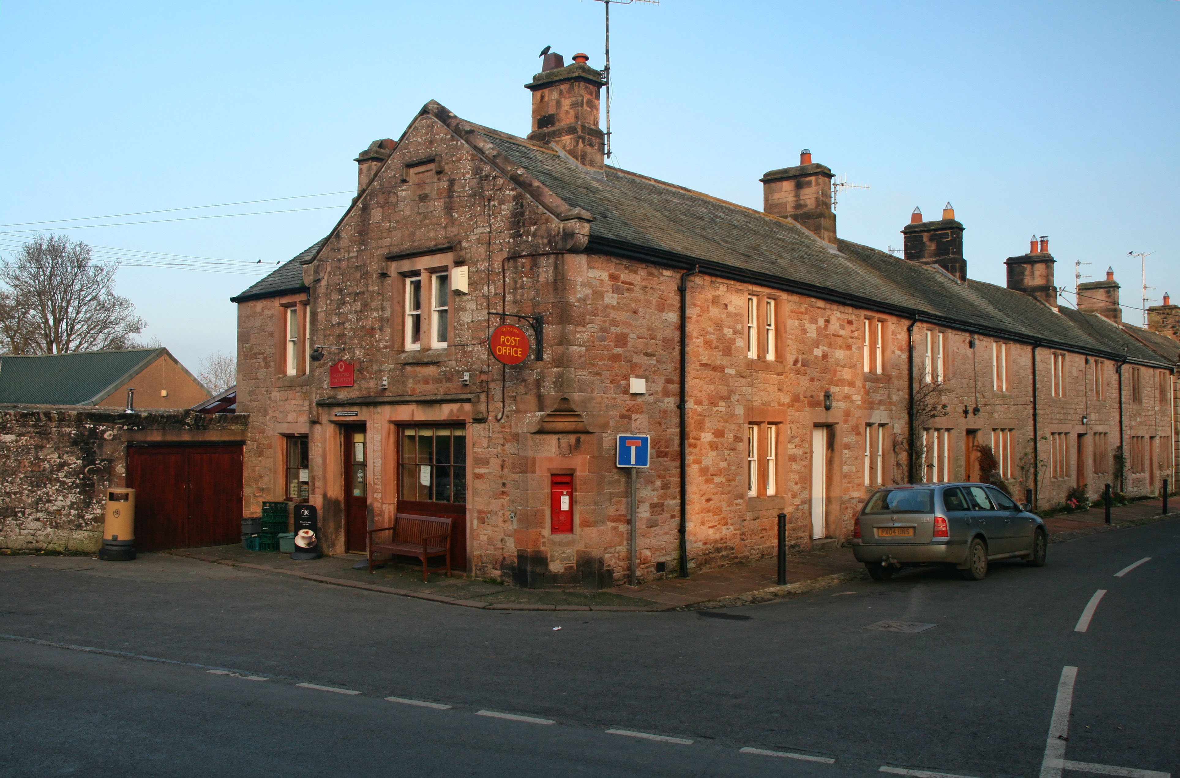
Post Office, Greystoke.jpg - Geograph Update Bot

Farmhouse, Hartley Castle.jpg - Geograph Update Bot

Bull's Head Farmhouse, Plumpton.jpg - Peter I. Vardy

The Elephant Farmhouse, Calthwaite.jpg - Geograph Update Bot
Hesket House.jpg - Peter I. Vardy

Nelson House, Kaber.jpg - Geograph Update Bot

Mitre House, Kirkby Stephen.jpg - Geograph Update Bot

Yew Tree Cottage, Patterdale, 2016.jpg - John of Reading

Houses in Tirril.jpg - Bjh21

Hutton Lodge, Soulby.jpg - Geograph Update Bot
Lowther Lodge.jpg - Peter I. Vardy

The Square, Broughton-in-Furness.jpg - Peter I. Vardy

The Square, Burton-in-Kendal.jpg - Geograph Update Bot

Buckle Yeat, Near Sawrey.jpg - Peter I. Vardy

Green End Cottage, Colthouse.jpg - Peter I. Vardy

Low Parkamoor.jpg - Peter I. Vardy

Finsthwaite House.jpg - Peter I. Vardy

High Hall Garth.jpg - Peter I. Vardy

Atkinson Ground House.jpg - Peter I. Vardy

High Bank Ground Farmhouse.jpg - Peter I. Vardy

Boon Crag Farmhouse, Coniston.jpg - Peter I. Vardy

Harmony Hall - panoramio.jpg - Panoramio upload bot

Laburnum House - panoramio.jpg - Panoramio upload bot

Crosthwaite House.jpg - Peter I. Vardy

Hodgson's Cottage, Dent.jpg - Peter I. Vardy

Parker's Cottage, Dent.jpg - Geograph Update Bot

Allen Haw, near Dent.jpg - Peter I. Vardy
Basil Busk, Dentdale.jpg - Peter I. Vardy

Birchentree Farm, Dentdale.jpg - Peter I. Vardy

Blands Farmhouse, Dentdale.jpg - Peter I. Vardy

Brackensgill Farmhouse.jpg - Geograph Update Bot

Cage Farmhouse, Dentdale.jpg - Peter I. Vardy
Combe House, Dentdale.jpg - Peter I. Vardy

Dee Side House, Dentdale.jpg - Geograph Update Bot

East Clint, Dentdale.jpg - Peter I. Vardy

Ellers, Dentdale.jpg - Geograph Update Bot

Gap Farm, Dentdale.jpg - Bjh21

Gibbs Hall, Dentdale.jpg - Geograph Update Bot

Gibbs Hall Farmhouse, Dentdale.jpg - Peter I. Vardy

Hill Farmhouse, Dentdale.jpg - Peter I. Vardy

Howgill House, Dentdale.jpg - Peter I. Vardy

Little Town, Dentdale.jpg - Peter I. Vardy

Lund's Farmhouse, Dentdale.jpg - Peter I. Vardy

Mire House, Dentdale.jpg - Peter I. Vardy

Peggleside, Dentdale.jpg - Geograph Update Bot

Rash Mill Farmhouse, Dentdale.jpg - Geograph Update Bot

Raw Redding Farmhouse, Dentdale.jpg - Geograph Update Bot

Tub Hole, Dentdale.jpg - Peter I. Vardy
West Clint Farmhouse, Dentdale.jpg - Peter I. Vardy

West Cowgill Farmhouse, Dentdale.jpg - Peter I. Vardy

West House Farmhouse, Dentdale.jpg - Peter I. Vardy
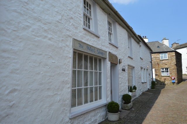
Wool Shop, Dent.jpg - Peter I. Vardy
Beckwell, Dent.jpg - Peter I. Vardy

Sedgwick Cottage, Dent.jpg - Peter I. Vardy

Former Post Office, Dent.jpg - Geograph Update Bot

Siege Ghyll, Dent.jpg - Peter I. Vardy
White Hart House, Dent.jpg - Peter I. Vardy

Bannisdale Head.jpg - Geograph Update Bot

East Scale Farmhouse.jpg - Peter I. Vardy

Fea Fow, Grisedale.jpg - Geograph Update Bot

Reachey Farmhouse, Garsdale.jpg - Peter I. Vardy

West Scale, Garsdale.jpg - Peter I. Vardy
Banks Bridge, Garsdale.jpg - Geograph Update Bot

Garsdale Hall.jpg - Peter I. Vardy

High Scale Farmhouse, Garsdale.jpg - Geograph Update Bot

High Keld Farmhouse, Garsdale.jpg - Peter I. Vardy

Low House, Garsdale.jpg - Peter I. Vardy

Low Scale, Garsdale.jpg - Geograph Update Bot

Potgill House, Garsdale.jpg - Peter I. Vardy

Merlewood, Grange-over-Sands.jpg - Geograph Update Bot

Merlewood Lodge, Grange-over-Sands.jpg - Geograph Update Bot

Grayrigg Hall, Cumbria.jpg - Peter I. Vardy
Bigland Hall, Cumbia.jpg - Geograph Update Bot

Hawkshead Fields Farm House - panoramio (1).jpg - Panoramio upload bot

Dr Manning's Yard, Kendal.jpg - Geograph Update Bot

Sandes Hospital Cottages, Kendal.jpg - Geograph Update Bot

Killington Hall.jpg - Peter I. Vardy

Kearstwick Lodge.jpg - Geograph Update Bot

Kearstwick Hill.jpg - Geograph Update Bot

Biggins Cottage, Kirkby Lonsdale.jpg - Geograph Update Bot

Fairview Cottages, Ambleside.jpg - Geograph Update Bot

Bridge Syke, Elterwater.jpg - Peter I. Vardy

Middlefell Farmhouse, Great Langdale.jpg - Geograph Update Bot

Side House Farmhouse, Great Langdale.jpg - Geograph Update Bot

Cottage, New Dungeon Ghyll.jpg - Geograph Update Bot

High Colwith, Little Langdale.jpg - Geograph Update Bot

Low Colwith, Little Langdale.jpg - Geograph Update Bot

Cote How, Rydal.jpg - Peter I. Vardy

Fir Bank Cottages, Elterwater.jpg - Peter I. Vardy

Wall End Farm, Great Langdale.jpg - Peter I. Vardy
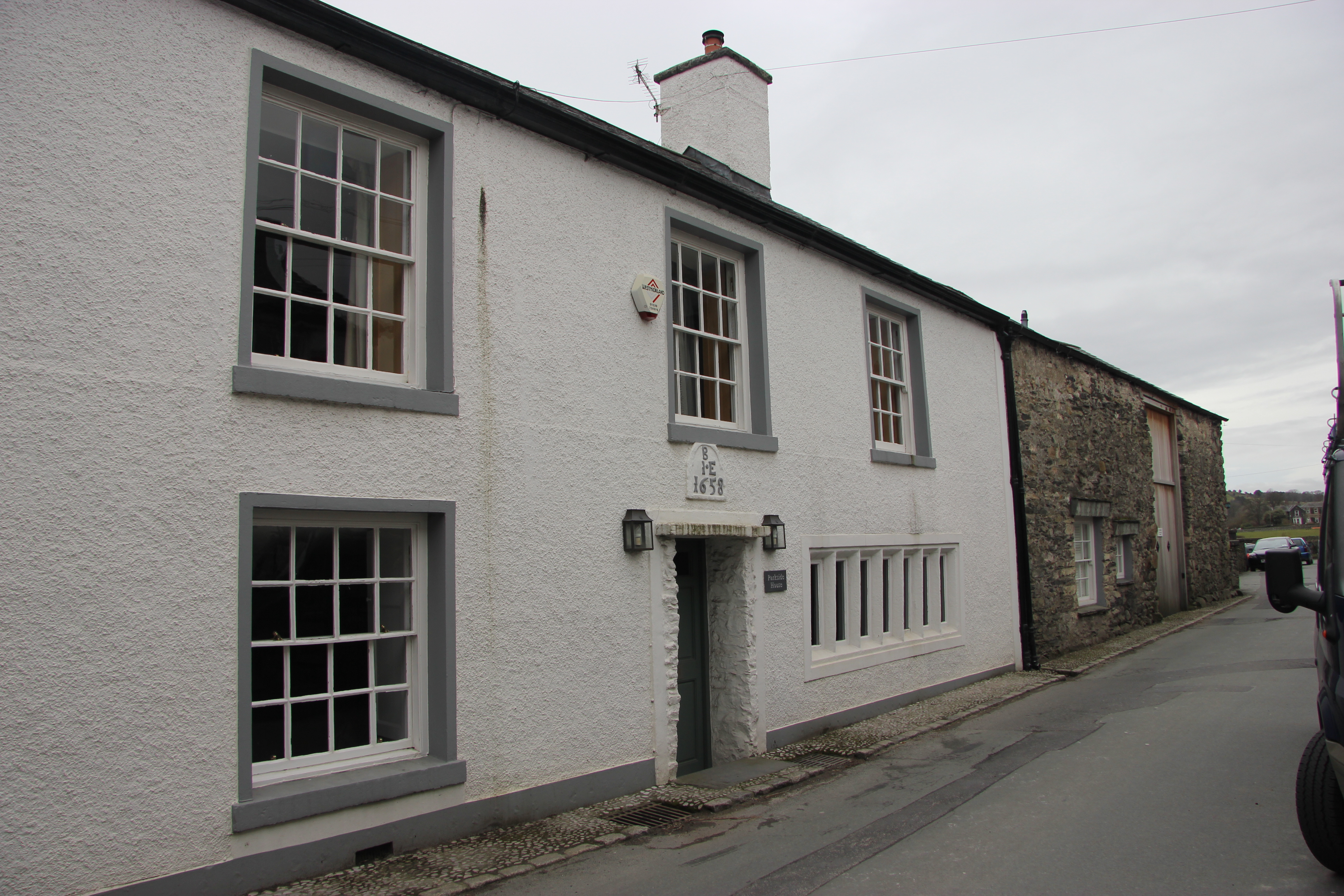
Parkside House, Cartmel.jpg - Geograph Update Bot

Foulstone House, Cumbria.jpg - Geograph Update Bot

Lupton Tower, Cumbria.jpg - Peter I. Vardy

Low Bowkerstead.jpg - Geograph Update Bot

Mackereth Hill.jpg - Geograph Update Bot

Former smithy, Farfield Mill.jpg - Peter I. Vardy

Ingmire Hall Cottage.jpg - Geograph Update Bot

Loftus Hill, Sedbergh.jpg - Geograph Update Bot

Skelsmergh Hall.jpg - Geograph Update Bot

High Park Farm, Little Langdale.jpg - Geograph Update Bot

Holme Ground, Skelwith.jpg - Geograph Update Bot

High Oxen Fell Farmhouse.jpg - Geograph Update Bot

Tolson Hall.jpg - Geograph Update Bot
Fallen Yew Farmhouse.jpg - Peter I. Vardy

Tranthwaite Hall.jpg - Peter I. Vardy

Tullythwaite House.jpg - Geograph Update Bot

Shaw End, Whinfell.jpg - Peter I. Vardy

The Priory, Windermere.jpg - Peter I. Vardy

Grindal House St Bees.jpg - Nthep

Ash Meadow, Arnside.jpg - Peter James

3 Beck Head, Kirkby Lonsdale.jpg - Peter James

2 and 4 Beck Head, Kirkby Lonsdale.jpg - Peter James

1 The Abbey, Carlisle.jpg - Peter James

4 The Abbey, Carlisle.jpg - Peter James

15A Abbey Street, Carlisle.jpg - Peter James

17 and 19 Abbey Street, Carlisle.jpg - Peter James

34 Abbey Street, Carlisle.jpg - Peter James

Laurel Cottage, Windermere, England.jpg - Podzemnik

The Spinney, Windermere, England.jpg - Podzemnik

School House, Mungrisdale.jpg - Dave.Dunford

Crook-a-Fleet.jpg - Dave.Dunford

Middle Farm, Mosedale.jpg - Dave.Dunford

Middles Farm Cottage, Mosedale.jpg - Dave.Dunford

Mosedale House.jpg - Dave.Dunford
Home Farm Cottage, Bowscale.jpg - Dave.Dunford

Southerfell Farmhouse.jpg - Dave.Dunford

Boot House and Whillanside, Eskdale, Cumbria.jpg - David Trochos

Rear of Boot House, Eskdale, Cumbria.jpg - David Trochos

Bridge End farmouse, Boot, Eskdale, Cumbria, from S.jpg - David Trochos

Cunswick Hall royal arms.jpg - Eebahgum

Rose Cottage, Bowness on Windermere - geograph.org.uk - 1885606.jpg - GeographBot

Lightwood, Cartmel Fell.jpg - Dave.Dunford

Former barn approximately 40 metres to north of Hodge Hill.jpg - Dave.Dunford
Pool Bank Farmhouse.jpg - Dave.Dunford

Pool Bank Farmhouse - detail.jpg - Dave.Dunford

Barn immediately to north of Pool Bank Farmhouse.jpg - Dave.Dunford
Pool Bank North.jpg - Dave.Dunford

Datestone on Barn at Pool Bank.jpg - Dave.Dunford

Barn immediately to north of Pool Bank Farmhouse (2).jpg - Dave.Dunford
Pool Bank House.jpg - Dave.Dunford

Pool Bank House (2).jpg - Dave.Dunford

Barn immediately south of Pool Bank.jpg - Dave.Dunford

Pool Bank Farmhouse (2).jpg - Dave.Dunford

Bryan Houses, Winster.jpg - Dave.Dunford

Fallen Yew Farmhouse, Underbarrow.jpg - Dave.Dunford
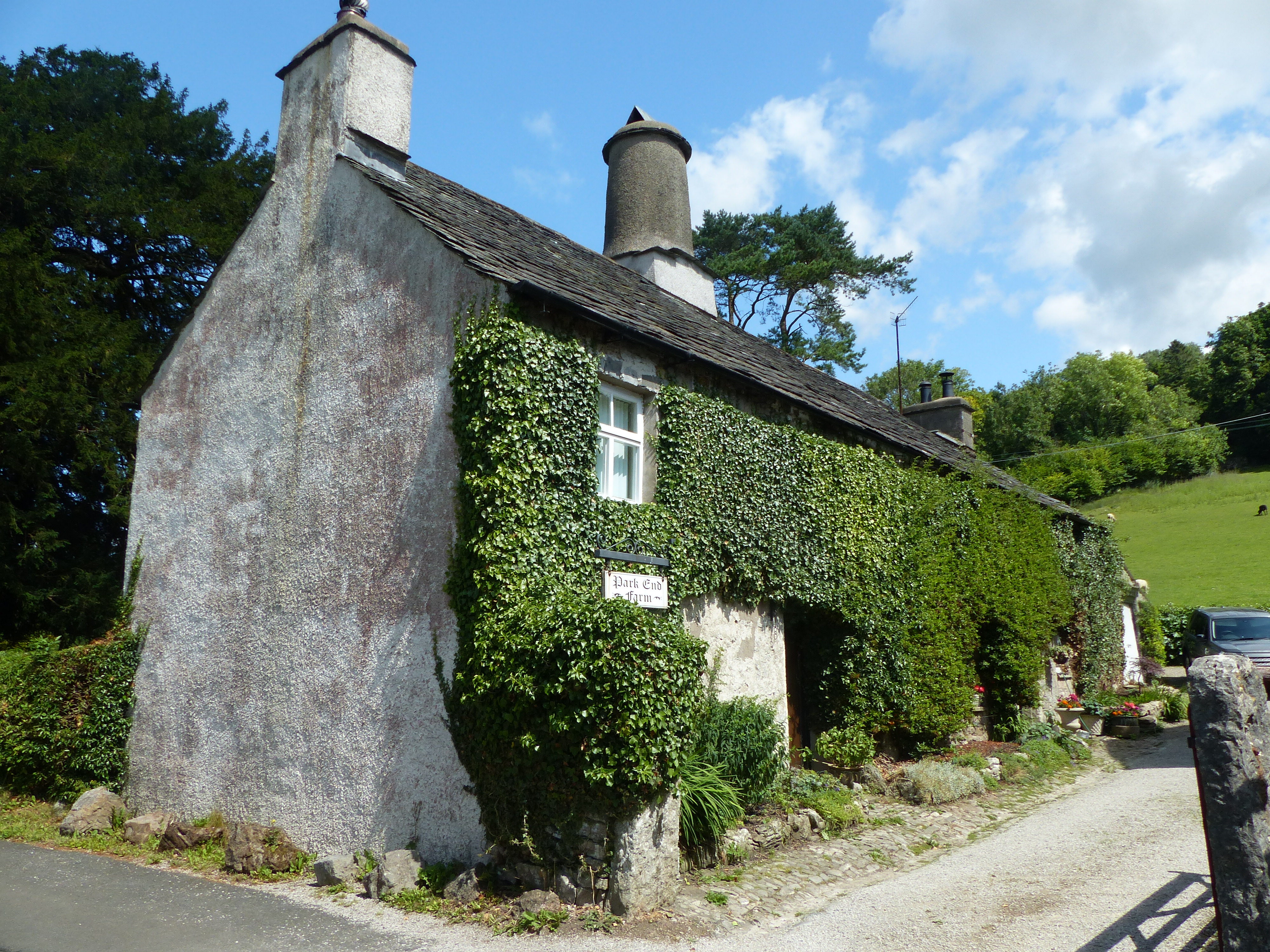
Park End Farmhouse, Brigsteer.jpg - Dave.Dunford
House at Sizergh Castle.jpg - Dave.Dunford
Holeslack.jpg - Dave.Dunford

Spout House, Nook - geograph.org.uk - 2973781.jpg - GeographBot

House at Lowside from the A66 - geograph.org.uk - 3091964.jpg - GeographBot

The Old Rectory, Greystoke - geograph.org.uk - 3093821.jpg - GeographBot

Bend or Bump, Coniston.jpg - Dave.Dunford

Haws Bank Cottage.jpg - Dave.Dunford

Far End Cottages, Coniston 01.jpg - Dave.Dunford

Far End Cottages, Coniston 02.jpg - Dave.Dunford

Killington - House To North West Of Beck Side Farm - 20220901142956.jpg - Tenuous tree

Killington - House To North West Of Beck Side Farm - 20220901142930.jpg - Tenuous tree

1-4, Hall Terrace upper.jpg - Victuallers

8 And 9, Portland Square.jpg - Victuallers

23, Portland Square 2023.jpg - Victuallers

Corner house of Alfred Streer, Carlisle.jpg - Mainlymazza

1-3 Alfred St North.jpg - Mainlymazza

Door way of 1 Alfred St North.jpg - Mainlymazza

7 Portland Square.jpg - Mainlymazza

6, Portland Square.jpg - Mainlymazza

8 Portland Place.jpg - Mainlymazza

10 Portland Place.jpg - Mainlymazza

End of Portland Square, Carlisle.jpg - Mainlymazza

23 Portland Square.jpg - Mainlymazza

Earl Street, Carlisle 02.jpg - Mainlymazza

Earl Street, Carlisle 01.jpg - Mainlymazza

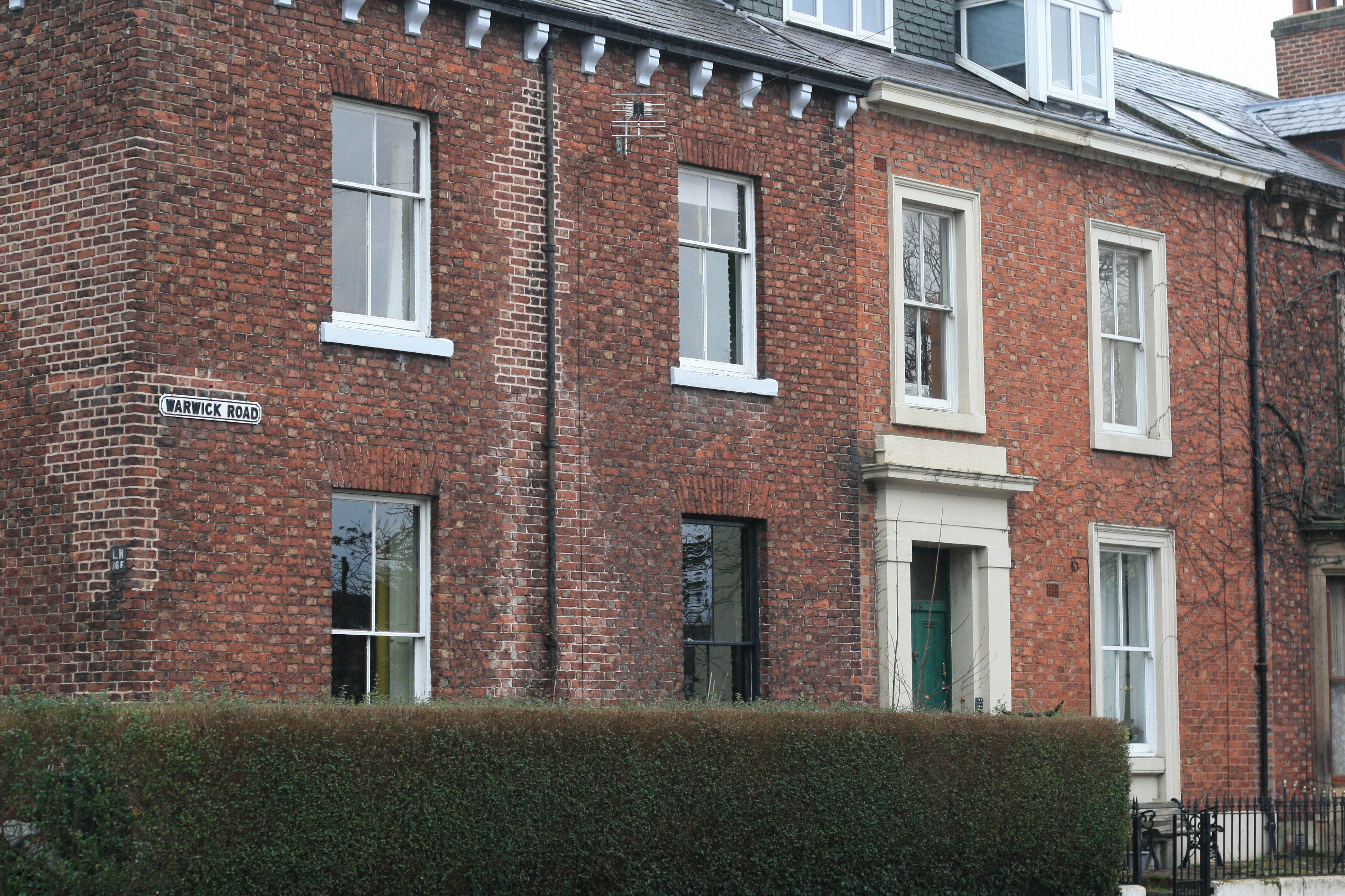
Warwick Road.jpg - Mainlymazza

&3 Warwick Road.jpg - Mainlymazza

71 Warwick Road.jpg - Mainlymazza

95 - 97 Warwick Rd 03.jpg - Mainlymazza
95 - 97 Warwick Rd 01.jpg - Mainlymazza

95 - 97 Warwick Rd 02.jpg - Mainlymazza

105 and 107, Warwick Road 03.jpg - Mainlymazza

105 and 107, Warwick Road 02.jpg - Mainlymazza

105 and 107, Warwick Road 01.jpg - Mainlymazza

2 And 4, Hartington Place 01.jpg - Mainlymazza
2 And 4, Hartington Place 02.jpg - Mainlymazza

Our Lady and St Joseph's church tower.jpg - Mainlymazza

North Lodge, Appleby Castle.jpg - Dave.Dunford

Barbadoes Lodge, Appleby-in-Westmorland.jpg - Dave.Dunford

Barn next to former Ship Inn, Appleby-in-Westmorland.jpg - Dave.Dunford

The Armoury, Appleby-in-Westmorland 02.jpg - Dave.Dunford
The Armoury, Appleby-in-Westmorland 01.jpg - Dave.Dunford

30, 31 and 32, Chapel Street, Appleby-in-Westmorland.jpg - Dave.Dunford

4, Howgate Foot, Appleby-in-Westmorland.jpg - Dave.Dunford

Bongate House, Appleby-in-Westmorland.jpg - Dave.Dunford
5 and 7, Bongate, Appleby-in-Westmorland, Cumbria, UK.jpg - Dave.Dunford
3, Bongate, Appleby-in-Westmorland.jpg - Dave.Dunford
11, Bongate, Appleby-in-Westmorland.jpg - Dave.Dunford

13, Bongate, Appleby-in-Westmorland.jpg - Dave.Dunford

31, 33 and 35, Bongate, Appleby-in-Westmorland.jpg - Dave.Dunford

Church View, Bongate, Appleby-in-Westmorland.jpg - Dave.Dunford

Courtfield House, Appleby-in-Westmorland.jpg - Dave.Dunford

Rhondda House, Appleby-in-Westmorland.jpg - Dave.Dunford

Gardeners Cottage, Appleby-in-Westmorland.jpg - Dave.Dunford
Castle Bank House, Appleby-in-Westmorland.jpg - Dave.Dunford

27, 28 and 29, Chapel Street, Appleby-in-Westmorland.jpg - Dave.Dunford

20–26, Chapel Street, Appleby-in-Westmorland 02.jpg - Dave.Dunford

20–26, Chapel Street, Appleby-in-Westmorland 01.jpg - Dave.Dunford

20–26, Chapel Street, Appleby-in-Westmorland 03.jpg - Dave.Dunford

16–19, Chapel Street, Appleby-in-Westmorland.jpg - Dave.Dunford

8–11, Chapel Street, Appleby-in-Westmorland.jpg - Dave.Dunford

8–11, Chapel Street, Appleby-in-Westmorland 02.jpg - Dave.Dunford

5–7, Chapel Street, Appleby-in-Westmorland 02.jpg - Dave.Dunford

5–7, Chapel Street, Appleby-in-Westmorland 01.jpg - Dave.Dunford

High Wiend, Appleby-in-Westmorland.jpg - Dave.Dunford

2, 3 and 4, Doomgate, Appleby-in-Westmorland.jpg - Dave.Dunford

2, High Wiend, Appleby-in-Westmorland.jpg - Dave.Dunford

31, Boroughgate, Appleby-in-Westmorland.jpg - Dave.Dunford

37 and 39, Boroughgate, Appleby-in-Westmorland.jpg - Dave.Dunford

41, 43 and 45, Boroughgate, Appleby-in-Westmorland.jpg - Dave.Dunford

51–55, Boroughgate, Appleby-in-Westmorland.jpg - Dave.Dunford

51, Boroughgate, Appleby-in-Westmorland.jpg - Dave.Dunford

49, Boroughgate, Appleby-in-Westmorland 01.jpg - Dave.Dunford

53, Boroughgate, Appleby-in-Westmorland.jpg - Dave.Dunford

55, Boroughgate, Appleby-in-Westmorland.jpg - Dave.Dunford
60 and 62, Boroughgate, Appleby-in-Westmorland.jpg - Dave.Dunford

56 and 58, Boroughgate, Appleby-in-Westmorland.jpg - Dave.Dunford

54, Boroughgate, Appleby-in-Westmorland.jpg - Dave.Dunford

52, Boroughgate, Appleby-in-Westmorland.jpg - Dave.Dunford

50, Boroughgate, Appleby-in-Westmorland.jpg - Dave.Dunford

48, Boroughgate, Appleby-in-Westmorland 02.jpg - Dave.Dunford

48, Boroughgate, Appleby-in-Westmorland 01.jpg - Dave.Dunford

42 and 44, Boroughgate, Appleby-in-Westmorland.jpg - Dave.Dunford

38 and 40, Boroughgate, Appleby-in-Westmorland.jpg - Dave.Dunford

32, Boroughgate, Appleby-in-Westmorland.jpg - Dave.Dunford

33A Chapel Street, Appleby-in-Westmorland.jpg - Dave.Dunford

Crook-a-Fleet farm - geograph.org.uk - 4970124.jpg - GeographBot

6 And 8, Etterby Street.jpg - Victuallers

10, Etterby Street.jpg - Victuallers

12, Etterby Street.jpg - Victuallers

14 And 16, Etterby Street.jpg - Victuallers

22 And 24, Etterby Street.jpg - Victuallers

22 And 24, Etterby Street two.jpg - Victuallers

Derwentfolds - geograph.org.uk - 5635224.jpg - GeographBot

Croft House, Askham - geograph.org.uk - 5794988.jpg - GeographBot

Low House, Threlkeld - geograph.org.uk - 5887614.jpg - GeographBot
Kirklinton Park Lodge, Cumbria (crop).jpg - Espresso Addict

Gate Farm, Mungrisdale 01.jpg - Dave.Dunford

Gate Farm, Mungrisdale 02.jpg - Dave.Dunford

Chapel House, Mungrisdale.jpg - Dave.Dunford

Crook A Fleet.jpg - Dave.Dunford

House on Market Street, Kirkby Stephen - geograph.org.uk - 6818389.jpg - GeographBot

Fawcett Mill - panoramio.jpg - Panoramio upload bot