Wikimedi'Òc
Modes d'emploi

Cet album fait partie des albums
Cet album photos contient les sous-albums suivants :


Ashtoncanal3.jpg - File Upload Bot (Magnus Manske)
The Colliers Arms, Hartshead Pike - geograph.org.uk - 203595.jpg - GeographBot

The Old Grammar School, Mottram in Longdendale - geograph.org.uk - 700147.jpg - GeographBot

Heritage Stop - geograph.org.uk - 834823.jpg - GeographBot

Listed Shelter - geograph.org.uk - 1005986.jpg - GeographBot
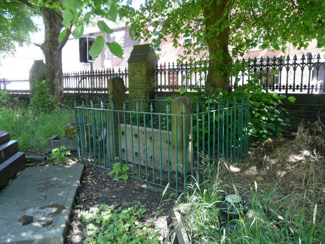
Village Stocks - geograph.org.uk - 1013168.jpg - GeographBot

Stalybridge, Market Street - geograph.org.uk - 1028340.jpg - GeographBot

Bus Stop Closed - geograph.org.uk - 1121304.jpg - GeographBot
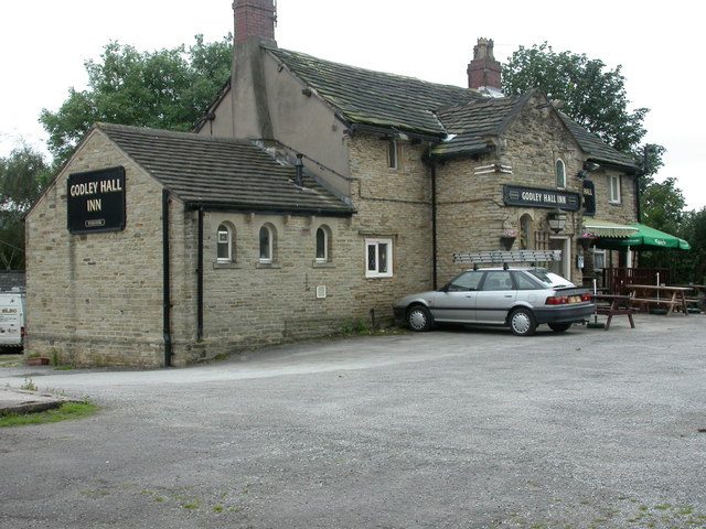
Godley Hall Inn - geograph.org.uk - 1471839.jpg - GeographBot

Caroline Street - geograph.org.uk - 1480520.jpg - GeographBot

Werneth Bredbury Boundary Stone - geograph.org.uk - 1518286.jpg - GeographBot

Oakwood Mill, Millbrook, near Stalybridge - geograph.org.uk - 1710191.jpg - GeographBot
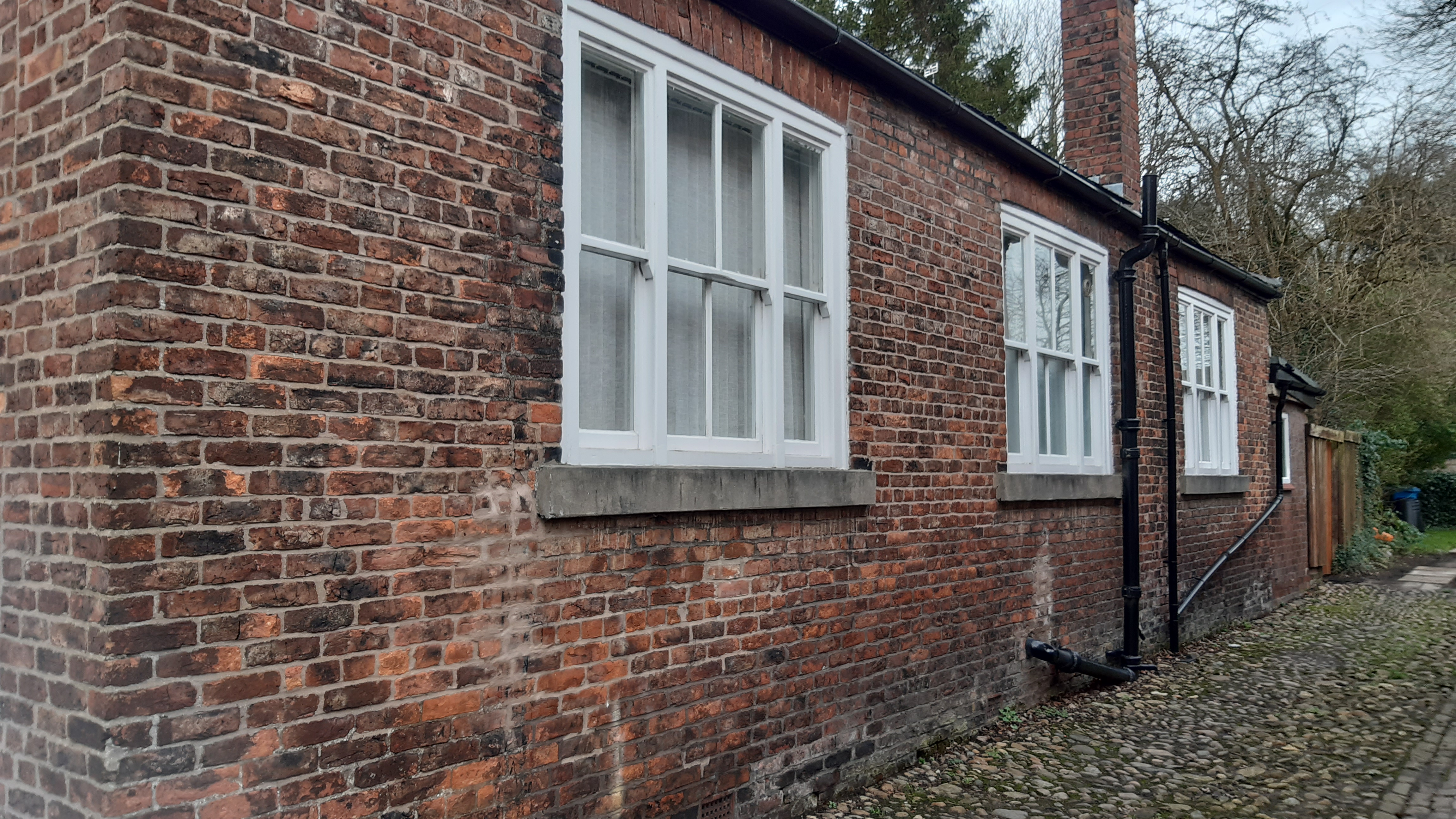
Original house at Old Mottram.jpg - Thelastdeholynworth

Fairfield Moravian Settlement (36).JPG - Rept0n1x

Farm buildings, Hyde Hall.jpg - Geograph Update Bot

Fairfield High School for Girls.jpg - Geograph Update Bot

Fairfield Top Lock, Ashton Canal.jpg - Peter I. Vardy

Bridge No. 16, Ashton Canal.jpg - Peter I. Vardy
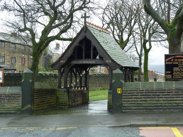
Lychgate, St George's, Mossley.jpg - Peter I. Vardy

Quickwood, Mossley.jpg - Geograph Update Bot

Winterford Bridge, Mossley.jpg - Geograph Update Bot

Canal milestone near Mossley.jpg - Geograph Update Bot

Bridge at Lock 16W, Mossley.jpg - Peter I. Vardy

Former Post Office, Ashton-under-Lyne.jpg - Peter I. Vardy

Holy Trinity School, Ashton-under-Lyne.jpg - Peter I. Vardy

Holy Trinity drinking fountain, Ashton-under-Lyne.jpg - Peter I. Vardy

Twelve Apostles Terrace, Ashton-under-Lyne.jpg - Geograph Update Bot

Oxford Mills, Ashton-under-Lyne.jpg - Peter I. Vardy

Taunton Hall, Ashton-under-Lyne.jpg - Geograph Update Bot
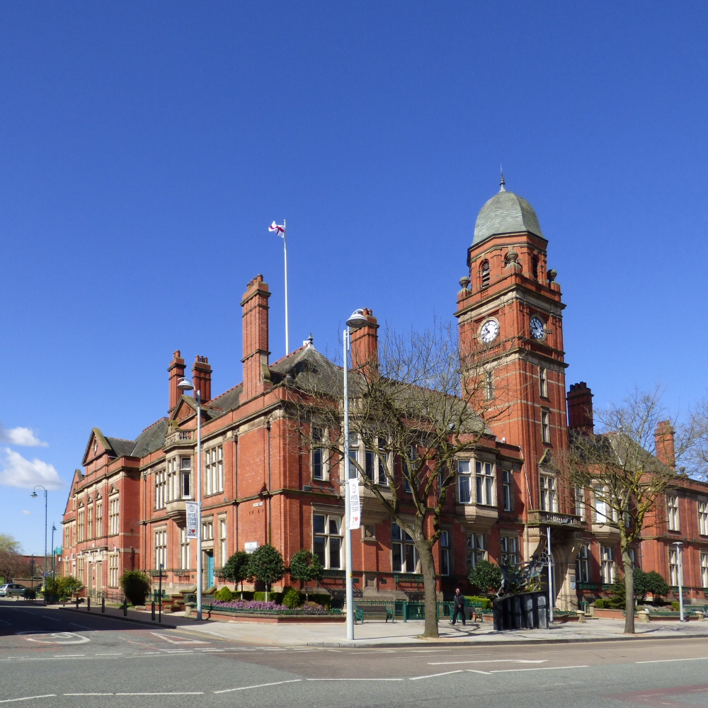
Town Hall, Hyde.jpg - SteinsplitterBot

Lychgate, St George's Church, Hyde.jpg - Geograph Update Bot

Former canal warehouse, Hyde.jpg - Peter I. Vardy

Bus shelter, Hyde.jpg - SteinsplitterBot

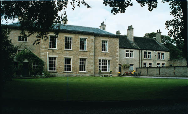
Pole Bank Hall, Hyde.jpg - Geograph Update Bot

Hodge Lane, Broadbottom.jpg - Geograph Update Bot

Gun Inn, Hollingworth.jpg - Geograph Update Bot

Gun Inn, Hollingworth (cropped).jpg - Fæ

Tame aqueduct, Stalybridge.jpg - Geograph Update Bot

Thorn House, Stalybridge.jpg - Geograph Update Bot
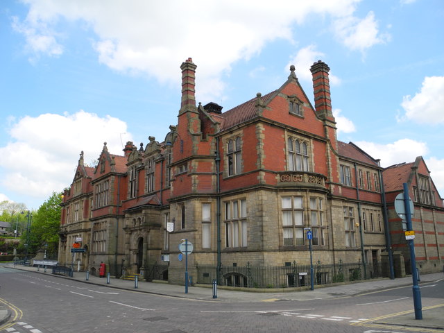
Public library, Stalybridge.jpg - Peter I. Vardy

Stamford Arms, Stalybridge.jpg - Geograph Update Bot
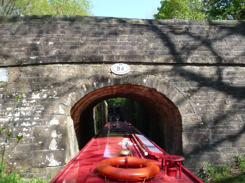
Black Rock Bridge, Mossley.jpg - Geograph Update Bot

Park Parade Viaduct, Dukinfield.jpg - Peter I. Vardy

Tower Mill, Dukinfield.jpg - Geograph Update Bot

Oddfellows Hall, Ashton-under-Lyne.jpg - SteinsplitterBot

Heyrod Bridge.jpg - Geograph Update Bot

Heyrod Hall Bridge.jpg - Geograph Update Bot

Former Methodist Church (geograph 3206925).jpg - Plucas58

Railway Viaduct over the River Tame (geograph 3493313).jpg - Plucas58

8 Fairfield Square.jpg - Doctorneroli

7 Fairfield Square.jpg - Doctorneroli

3, 4 and 5 Fairfield Square.jpg - Doctorneroli

11 and 12 Fairfield Square.jpg - Doctorneroli
9 Fairfield Square.jpg - Doctorneroli

10 and 10A Fairfield Square.jpg - Doctorneroli

19 Fairfield Square.jpg - Doctorneroli

15, 16 and 17 Fairfield Square.jpg - Doctorneroli

18 Fairfield Square.jpg - Doctorneroli

24, 25, 26 and 27 Fairfield Square.jpg - Doctorneroli
32A and 32B Fairfield Square.jpg - Doctorneroli

33-36 Fairfield Square.jpg - Doctorneroli

37 Fairfield Square.jpg - Doctorneroli

37A, 38, 39, 40 and 40B Fairfield Square.jpg - Doctorneroli

41 (The Orchards) and 42 Fairfield Square.jpg - Doctorneroli

46 Fairfield Square.jpg - Doctorneroli

47 and 48 Fairfield Square.jpg - Doctorneroli

49 Fairfield Square.jpg - Doctorneroli

Former Moravian College.jpg - Doctorneroli

Lock Cottage.jpg - Doctorneroli
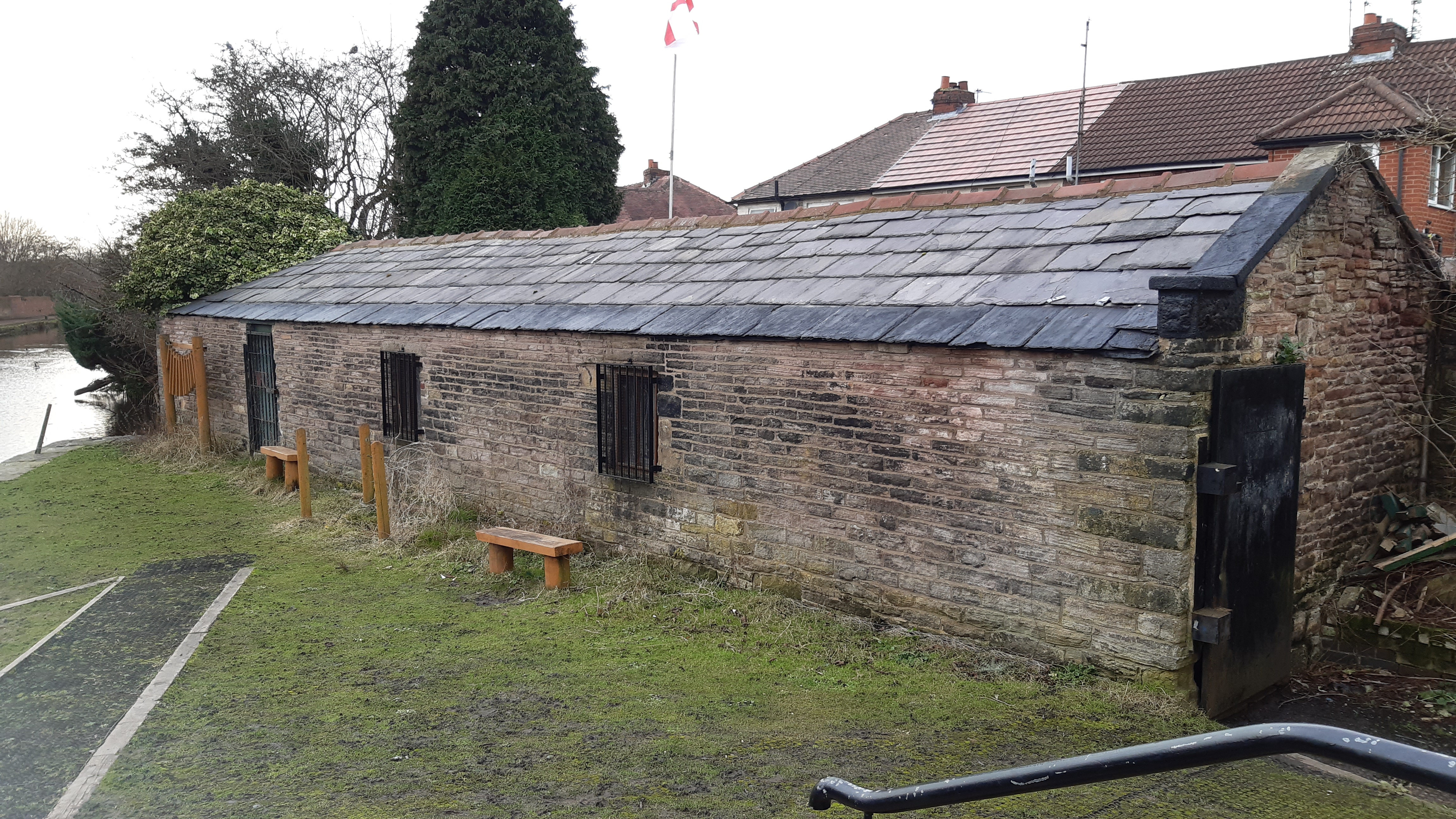
Former packet boathouse, Droylsden.jpg - Doctorneroli
Lockside.jpg - Doctorneroli
The Bungalow.jpg - Doctorneroli

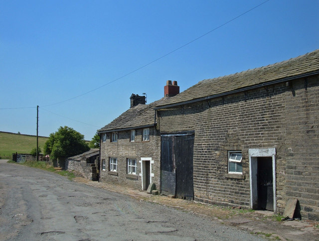
Landslow Green Farmhouse.jpg - Dave.Dunford