Wikimedi'Òc
Modes d'emploi

Cet album fait partie des albums
Cet album photos contient les sous-albums suivants :


House on Furze Road, North End, Roos - geograph.org.uk - 6372719.jpg - GeographBot

Fingerpost, Roos North End - geograph.org.uk - 6372114.jpg - GeographBot

065-SFEC-HULL-20070329-ST MARYS LOWGATE.JPG - Merlin-UK

Baxter's Brickworks, Burton Pidsea.jpg - Angusmclellan

Cave Castle Entrance South Cave.jpg - Keith D

Buckton Mill, Buckton.jpg - Mjroots

Etton Mill.jpg - Mjroots

Timms Mill, Goole.jpg - Mjroots
Hutton Cranswick Mill.jpg - Mjroots
Old Mill, Seaton Ross.jpg - Mjroots
Anlaby House.jpg - Keith D

Atwick Cross.jpg - Keith D

Sir Griffith Boyntons Hospital Barmston.jpg - Keith D
Crumble Manor Bennetland.jpg - Keith D

Bessingby Hall.jpg - Keith D

The Manor House Bewholme.jpg - Keith D

Cross North Frodingham.jpg - Keith D
The Star Inn North Frodingham.jpg - Keith D

Elstronwick House.jpg - Keith D

East Cowick CoE VC Primary School.jpg - Keith D

Manor House Farm Fangfoss.jpg - Keith D

Garrowby Lodge.jpg - Keith D

Painsthorpe Hall.jpg - Keith D
Old Goole Mill.jpg - Mjroots

Great Hatfield Cross.jpg - Keith D

Halsham House.jpg - Keith D

St Johns Well Harpham.jpg - Keith D

The Old Rectory Low Catton.jpg - Keith D

Station House Cottingham.jpg - Keith D

Dove Cote Holmpton.jpg - Keith D

Southgate Cemetery Hornsea.jpg - Keith D

The Old Hall Hornsea.jpg - Keith D

Hornsea Vicarage.jpg - Keith D

Atwick - geograph.org.uk - 73582.jpg - GeographBot

Marton - geograph.org.uk - 37826.jpg - GeographBot
North Frodingham - geograph.org.uk - 73586.jpg - GeographBot

Round house - geograph.org.uk - 41174.jpg - GeographBot

Stables at South Dalton Hall - geograph.org.uk - 60779.jpg - GeographBot

Pump Brickyard Farm North Howden.jpg - Keith D
Disused Signal Box Howden Railway Station.jpg - Keith D

West Cowick Nr Goole, Old Brewery, Spa Well Lane - geograph.org.uk - 82042.jpg - GeographBot

Garrowby Lodge - geograph.org.uk - 125982.jpg - GeographBot

Old school buildings, Sunk Island - geograph.org.uk - 186773.jpg - GeographBot

Parish Church and Almshouses, Dalton Holme - geograph.org.uk - 183326.jpg - GeographBot

Pollington Church Vicarage - geograph.org.uk - 198320.jpg - GeographBot

The Old Vicarage, Keyingham - geograph.org.uk - 212523.jpg - GeographBot

Yapham Grange - geograph.org.uk - 211238.jpg - GeographBot

Unusual Building - geograph.org.uk - 238079.jpg - GeographBot

Linsdall's Hospital, Patrington - geograph.org.uk - 243967.jpg - GeographBot

Lodge to Bessingby Hall - geograph.org.uk - 249816.jpg - GeographBot

Snaith, Old Grammar School - geograph.org.uk - 242953.jpg - GeographBot

A disused windmill Hutton Cranswick.jpg - Keith D

The Cottage Church Street.jpg - Keith D

Sandholme Viaduct Leven.jpg - Keith D

The Rectory Londesborough.jpg - Keith D
Cross Lund.jpg - Keith D

Hawleys Cottage Marton.jpg - Keith D

Langthorpe Hall New Ellerby.jpg - Keith D

Manor Farm North Cave.jpg - Keith D

Manor Farm Dovecote.jpg - Keith D

South Dalton Estate Almshouses - geograph.org.uk - 1370236.jpg - File Upload Bot (Magnus Manske)

Church of St. Mary, Beverley.jpg - Flickr upload bot

Pollington Hall with Eggborough Power Station in the Background - geograph.org.uk - 261393.jpg - GeographBot

Cross at St. Swithin's - geograph.org.uk - 291414.jpg - GeographBot

Boreas Hall - geograph.org.uk - 306359.jpg - GeographBot

South Cave, Bear Lodge - geograph.org.uk - 300505.jpg - GeographBot

South Cave - geograph.org.uk - 311539.jpg - GeographBot

White House Farm, Sunk Island - geograph.org.uk - 312256.jpg - GeographBot

Channel Farm, Sunk Island - geograph.org.uk - 323859.jpg - GeographBot

Hornsea - Cross - geograph.org.uk - 324979.jpg - GeographBot

Cross and Cemetery Lodges, Southgate - geograph.org.uk - 330550.jpg - GeographBot

Drainage Ditch near Creykes Crossing - geograph.org.uk - 367527.jpg - GeographBot

Sod House Lock (disused) on the Market Weighton Canal - geograph.org.uk - 366289.jpg - GeographBot

Driffield Canal Crane - geograph.org.uk - 378568.jpg - GeographBot

Railway Goods Shed, Cottingham - geograph.org.uk - 385329.jpg - GeographBot
Hengate from the west - geograph.org.uk - 419851.jpg - GeographBot

Pump house and Almshouses - geograph.org.uk - 411989.jpg - GeographBot

The Head of the Driffield Canal - geograph.org.uk - 424123.jpg - GeographBot

The view from the end of the Driffield Canal - geograph.org.uk - 424121.jpg - GeographBot

St. John's Well, Harpham - geograph.org.uk - 462857.jpg - GeographBot

Mind the step - geograph.org.uk - 471857.jpg - GeographBot

No Shootin - geograph.org.uk - 471851.jpg - GeographBot

Grimston Lodge - geograph.org.uk - 498804.jpg - GeographBot

The Old Vicarage, Adlingfleet - geograph.org.uk - 507401.jpg - GeographBot

Southgate Cemetery, Hornsea - geograph.org.uk - 515952.jpg - GeographBot

Barn House, 29 Cowgate, Welton - geograph.org.uk - 529242.jpg - GeographBot

The Gardener's Cottage, Burton Constable Hall - geograph.org.uk - 531195.jpg - GeographBot

Welton Garth, Welton - geograph.org.uk - 535093.jpg - GeographBot

Fountain, The Green, Welton - geograph.org.uk - 546049.jpg - GeographBot

Welton Lodge, Chapel Hill, Welton - geograph.org.uk - 546178.jpg - GeographBot

Manor House - geograph.org.uk - 595037.jpg - GeographBot

Lodge Farm, Sproatley - geograph.org.uk - 600299.jpg - GeographBot

Sproatley Courthouse - geograph.org.uk - 600267.jpg - GeographBot

The Constable Arboretum - geograph.org.uk - 600379.jpg - GeographBot

Tower House, Burton Constable - geograph.org.uk - 600234.jpg - GeographBot

Withernwick Hall - geograph.org.uk - 602953.jpg - GeographBot

National School for Girls, Sigglesthorne - geograph.org.uk - 612330.jpg - GeographBot

West Lodge, Wassand - geograph.org.uk - 612282.jpg - GeographBot

West Lodge, Wassand - geograph.org.uk - 612285.jpg - GeographBot

St Mary's Church - geograph.org.uk - 624426.jpg - GeographBot

Mill Farm, near Etton - geograph.org.uk - 683312.jpg - GeographBot

Stone Monument, Welton - geograph.org.uk - 706897.jpg - GeographBot

Burnham House, Hedon - geograph.org.uk - 722717.jpg - GeographBot

Mill Farm, Etton - geograph.org.uk - 739778.jpg - GeographBot

Arched Gateway to Cave Castle Hotel - geograph.org.uk - 758057.jpg - GeographBot
West End, South Cave - geograph.org.uk - 775119.jpg - GeographBot

Keldgate, Beverley - geograph.org.uk - 798667.jpg - GeographBot

No. 11 Cross Street, Beverley - geograph.org.uk - 792139.jpg - GeographBot

Blacktoft Lane, Blacktoft - geograph.org.uk - 808344.jpg - GeographBot

Church of Saint Mary, Beverley - geograph.org.uk - 806927.jpg - GeographBot

Holborn House, 110 Lairgate, Beverley - geograph.org.uk - 800204.jpg - GeographBot

No. 10 Newbegin, Beverley - geograph.org.uk - 809529.jpg - GeographBot

Water supply to the Almshouses - geograph.org.uk - 809473.jpg - GeographBot
Houses on Lairgate - geograph.org.uk - 812365.jpg - GeographBot

Houses on Lairgate - geograph.org.uk - 816367.jpg - GeographBot

Mill Farm - geograph.org.uk - 813996.jpg - GeographBot

Pizza Express, Beverley - geograph.org.uk - 813348.jpg - GeographBot

St. Mary's Church, Beverley - geograph.org.uk - 814622.jpg - GeographBot

The Gates of St. Mary's Church, Beverley - geograph.org.uk - 819398.jpg - GeographBot

The Market Cross Hotel, Beverley - geograph.org.uk - 812301.jpg - GeographBot

The Push, Saturday Market, Beverley - geograph.org.uk - 811175.jpg - GeographBot

Ann Routh's Hospital, Keldgate - geograph.org.uk - 824670.jpg - GeographBot

Ann Routh's Hospital, Keldgate - geograph.org.uk - 824709.jpg - GeographBot

Church Hill, South Cave - geograph.org.uk - 827557.jpg - GeographBot

No. 2 Keldgate, Beverley - geograph.org.uk - 824768.jpg - GeographBot

Tymperon House, No. 62 Walkergate, Beverley - geograph.org.uk - 820723.jpg - GeographBot

Walkergate, Beverley - geograph.org.uk - 820618.jpg - GeographBot

Beverley Masonic Hall - geograph.org.uk - 856539.jpg - GeographBot

Beverley Minster Parish Hall - geograph.org.uk - 861371.jpg - GeographBot

The Grosvenor Club, Walkergate, Beverley - geograph.org.uk - 862722.jpg - GeographBot

The Old Vicarage, Minster Yard North, Beverley - geograph.org.uk - 866457.jpg - GeographBot

Walkergate, Beverley - geograph.org.uk - 866497.jpg - GeographBot

The Old Vicarage, Minster Yard North, Beverley - geograph.org.uk - 876313.jpg - GeographBot

White Cross - geograph.org.uk - 878093.jpg - GeographBot

Rise Park - geograph.org.uk - 907089.jpg - GeographBot

Riverside, Driffield - geograph.org.uk - 900088.jpg - GeographBot

South Cave's Cemetery and Chapel - geograph.org.uk - 926543.jpg - GeographBot

Entrance to former stable block at The Avenue - geograph.org.uk - 943276.jpg - GeographBot

'The Villa', Sledmere - geograph.org.uk - 1012164.jpg - GeographBot

Ornamental Well, Sledmere - geograph.org.uk - 1012135.jpg - GeographBot

Sledmere Estate Office and cottage - geograph.org.uk - 1012169.jpg - GeographBot

The Old Rectory, Sledmere - geograph.org.uk - 1012156.jpg - GeographBot

South Cave Cemetery - geograph.org.uk - 1025612.jpg - GeographBot

Hutton Balk - geograph.org.uk - 1055630.jpg - GeographBot

Shire Hall Howden - geograph.org.uk - 1102247.jpg - GeographBot

Manor Farm Wetwang - geograph.org.uk - 1118418.jpg - GeographBot

Old Windmill at Mill Farm - geograph.org.uk - 1115279.jpg - GeographBot

217 West Ella Road - geograph.org.uk - 1185863.jpg - GeographBot

Goole fields Windmill - geograph.org.uk - 1198628.jpg - GeographBot

Swine village cross - geograph.org.uk - 1192647.jpg - GeographBot

Cemetery Gravestones - geograph.org.uk - 1209042.jpg - GeographBot

Cemetery Lodge House - geograph.org.uk - 1209030.jpg - GeographBot

The Old Mill at Newsham Farm - geograph.org.uk - 1208782.jpg - GeographBot

Crane, River Head - geograph.org.uk - 1210430.jpg - GeographBot

Mortimer's Warehouse, River Head, Driffield - geograph.org.uk - 1210428.jpg - GeographBot

River Head View, Driffield - geograph.org.uk - 1210439.jpg - GeographBot
Bessingby Hall - geograph.org.uk - 1223465.jpg - GeographBot

Entrance to Bessingby Hall - geograph.org.uk - 1223456.jpg - GeographBot

Hornsea Church - geograph.org.uk - 1260527.jpg - GeographBot

No 2 Churchside, Howden - geograph.org.uk - 1265456.jpg - GeographBot

North Burton Hall - geograph.org.uk - 1282204.jpg - GeographBot

Beverley, parish church of St. Mary - geograph.org.uk - 1295816.jpg - GeographBot

White Cross Cottage and Replica Cross, Leven - geograph.org.uk - 1315287.jpg - GeographBot

Bridgegate House - geograph.org.uk - 1326000.jpg - GeographBot

Highbridge House, Hailgate - geograph.org.uk - 1325941.jpg - GeographBot

View from the churchyard - geograph.org.uk - 1326087.jpg - GeographBot

St. Mary's church, Beverley - geograph.org.uk - 1370126.jpg - GeographBot

The Constable Arms - geograph.org.uk - 1411044.jpg - GeographBot

The Court House at Sproatley - geograph.org.uk - 1411069.jpg - GeographBot

Girls School Sigglesthorne Churchyard - geograph.org.uk - 1423580.jpg - GeographBot

Great Hatfield Cross - geograph.org.uk - 1467313.jpg - GeographBot

Old Lodge, Burton Constable - geograph.org.uk - 1562643.jpg - GeographBot

Sproatley Cottage - geograph.org.uk - 1562564.jpg - GeographBot

The Old Hall, Goodmanham - geograph.org.uk - 1567937.jpg - GeographBot

Mere House, Swanland - geograph.org.uk - 1571481.jpg - GeographBot

2 Churchside - geograph.org.uk - 1635062.jpg - GeographBot

Shire Hall - geograph.org.uk - 1635161.jpg - GeographBot

The Lodge, Town Street - geograph.org.uk - 1631732.jpg - GeographBot

Sledmere Deer House - geograph.org.uk - 1707400.jpg - GeographBot

Swiss Cottage, Marton Road - geograph.org.uk - 1709627.jpg - GeographBot

Guest House on Keldgate, Beverley - geograph.org.uk - 1733079.jpg - GeographBot

Disused windmill on Swinefleet Road heading towards Goole - geograph.org.uk - 1740765.jpg - GeographBot

Market Weighton Canal, warehouse - geograph.org.uk - 1751609.jpg - GeographBot

The Old Wesleyan Chapel - geograph.org.uk - 1757566.jpg - GeographBot

Minster Garth Guest House - geograph.org.uk - 1774806.jpg - GeographBot

Withernwick Hall - geograph.org.uk - 1803912.jpg - GeographBot

Goods shed, Cottingham.jpg - Imgaril
Westgate Bridlington 1.jpg - Keith D

Howden Town Centre.JPG - Lesley175

Grovehill Road, Beverley, Yorkshire (geograph 4674549).jpg - Sumita Roy Dutta

Sledmere House - panoramio.jpg - Panoramio upload bot

Risby Folly - panoramio.jpg - Panoramio upload bot
Risby Folly, from across the pond - panoramio.jpg - Panoramio upload bot

27.5.16 1 Beverley Minster 01 (26735890733).jpg - Fæ
Bewholme Rectory.jpg - Geograph Update Bot

1, Manor Street.jpg - Richardlocket

Gate Piers and Screen Walls to West Ella Hall.jpg - AlanLocket

Kirk Ella Hall.jpg - AlanLocket

11 Packman's Lane.jpg - AlanLocket

4 Church Lane.jpg - AlanLocket

Trevayne.jpg - AlanLocket

Outbuilding to 8 Church Lane.jpg - AlanLocket

Wolfreton Grange Wolfreton Hall.jpg - AlanLocket

Kirk Ella House and Attached Garage.jpg - AlanLocket

8 Church Lane Vicarage.jpg - AlanLocket

Gates, Gate Piers and Flanking Walls to Anlaby House.jpg - AlanLocket

Yapham Mill (geograph 1845985).jpg - Keith D

Mill Farm, Wressle (geograph 5600672).jpg - Keith D

Mere House and Cottages, Swanland - Flickr - D H Wright.jpg - Red panda bot

Old Hall behind the garden wall (geograph 4451623).jpg - Keith D
Folly at Risby Fishpond.jpg - JimPossible1970

21, 22, 23 Whitefriargate.jpg - AlanLocket

24 - 28 Whitefriargate.jpg - AlanLocket

30-33 Whitefriargate.jpg - AlanLocket
11 Ladygate Beverly East Yorkshire.jpg - Johndhall

Marton Farm (geograph 1791166).jpg - Keith D

Marton Farm (geograph 5668591).jpg - Keith D

Welton Garth - geograph.org.uk - 1996301.jpg - GeographBot

West End cottages - geograph.org.uk - 2305961.jpg - GeographBot

Willerby Hall (geograph 4251415).jpg - Keith D

The Beeches, Willerby (geograph 4251418).jpg - Keith D

The Beeches on Main Street, Willerby (geograph 4479319).jpg - Keith D

The former Vicarage, Kirk Ella (geograph 3098746).jpg - Keith D

The Old Hall, Kirk Ella (geograph 3098757).jpg - Keith D

The Old Hall (geograph 5193669).jpg - Keith D

Kirk Ella House (geograph 5193716).jpg - Keith D

The Vicarage, Kirk Ella (geograph 6889678).jpg - Keith D

Old Boundary Marker by Hawold Bridle Road, Huggate parish (geograph 6093846).jpg - Sic19

Building at Welton Garth (geograph 3828866).jpg - Keith D
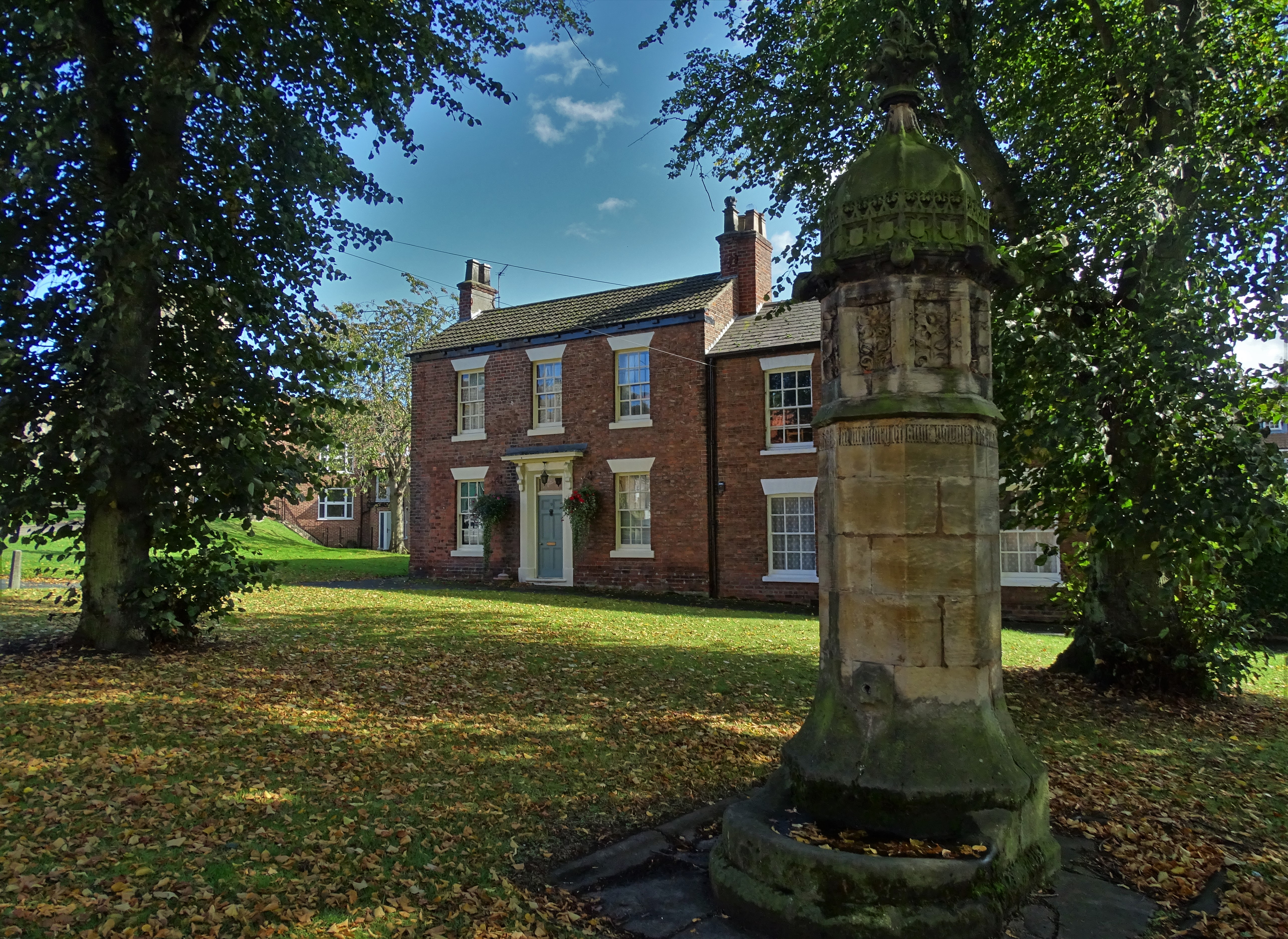
Memorial fountain on Welton Green (geograph 6279829).jpg - Keith D

Former Goods Shed, Hutton Cranswick Station - geograph.org.uk - 6000639.jpg - GeographBot

Former Station House, Hutton Cranswick Railway Station - geograph.org.uk - 5253613.jpg - GeographBot

Station House, Hutton Cranswick Station - geograph.org.uk - 5378541.jpg - GeographBot

Eagle House - geograph.org.uk - 4228075.jpg - GeographBot

Former school and schoolmaster's house - geograph.org.uk - 4228263.jpg - GeographBot

Former School ^ Headteachers House - geograph.org.uk - 5413442.jpg - GeographBot

Pleasant Wood Farm - geograph.org.uk - 1280730.jpg - GeographBot