Wikimedi'Òc
Modes d'emploi

Cet album fait partie des albums


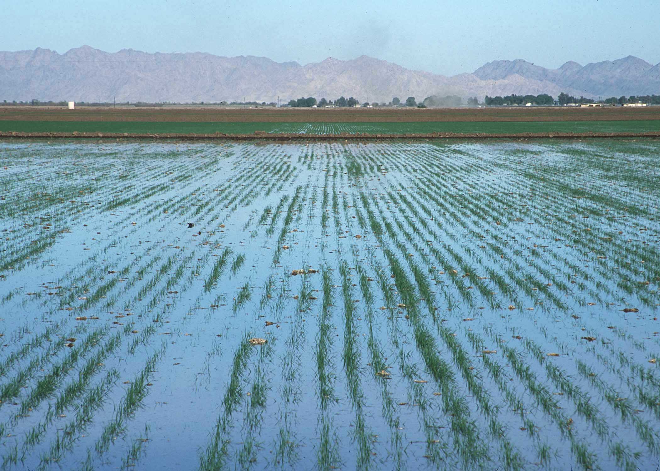
LevelBasinFloodIrrigation.JPG - H2O-C

Yuma arizona map.jpg - Marku1988
Context view, looking south along the Wellton-Mohawk Canal toward Pumping Plant - Wellton-Mohawk Irrigation System, Pumping Plant No. 1, Bounded by Gila River and Union Pacific Railroad HAER AZ-68-A-1.tif - Fæ
Context view, looking downhill from afterbay at the east rear of the Pumping Plant - Wellton-Mohawk Irrigation System, Pumping Plant No. 2, Bounded by Interstate 8 to south, Wellton, HAER AZ-68-B-2.tif - Fæ
Context view, looking southwest at the Wellton-Mohawk Canal and Pump Plant, with the Gila Mountains in the background - Wellton-Mohawk Irrigation System, Pumping Plant No. 3, South of HAER AZ-68-C-1.tif - Fæ
Wasteway, intake side. The float-operated radial gates are housed behind the concrete (below water level), view to the northwest - Wellton-Mohawk Irrigation System, Wasteway No. 1, HAER AZ-68-F-2.tif - Fæ
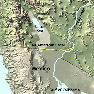
All american canal map.png - GifTagger

AS09-21-3291 (21889932916).jpg - 0x010C