×

Saltern Cove Paignton.jpg - File Upload Bot (Magnus Manske)

Welcombe Mouth - geograph.org.uk - 25072.jpg - GeographBot

Cross-bedded Permian Sandstone - geograph.org.uk - 71404.jpg - GeographBot

Earthquake, Lundy - geograph.org.uk - 73871.jpg - GeographBot

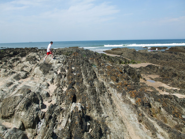
Wave cut platform - geograph.org.uk - 222060.jpg - GeographBot

The Earthquake on West Lundy.jpg - Nilfanion

Folded rocks near Hilsea Point - geograph.org.uk - 326530.jpg - GeographBot

Rocks at Hilsea Point - geograph.org.uk - 326254.jpg - GeographBot

Devon Culm Subsoil - geograph.org.uk - 344702.jpg - GeographBot

Hartland Quay Cliff Face, Devon - geograph.org.uk - 364272.jpg - GeographBot

FeldsparMegacryst Dartmoor IS.jpg - Mikenorton

Natural arch, Stantaway Hill - geograph.org.uk - 725859.jpg - GeographBot

Natural arch, Stantaway Hill - geograph.org.uk - 725867.jpg - GeographBot

Croyde Bay - geograph.org.uk - 1038354.jpg - GeographBot

Pillow Lava SSSI Chipley Quarry - geograph.org.uk - 1187275.jpg - GeographBot

Pillow Lava SSSI Chipley Quarry closeup - cross section - geograph.org.uk - 1188622.jpg - GeographBot

Pillow Lava SSSI Chipley Quarry closeup - geograph.org.uk - 1187277.jpg - GeographBot

Holwell Quarry, Holwell Tor - geograph.org.uk - 1545046.jpg - GeographBot

SW England China Clay Pits.png - Mikenorton

LEE DEVON DETAIL OF BADLY BORED ROCKS.JPG - HARTLEPOOLMARINA2014

Slate at Morte Point in Devon.jpg - GeoWriter

Dipping strata below the Geoneedle on Orcombe Point - geograph.org.uk - 2373609.jpg - GeographBot

Hartland Quay chevron folds.jpg - Asrieltheoracle
❮
❯


