×

BORDERS.JPG - Bilou~commonswiki

Panoramic sunset.JPG - Tchisan

English Scottish border.JPG - Schlamniel

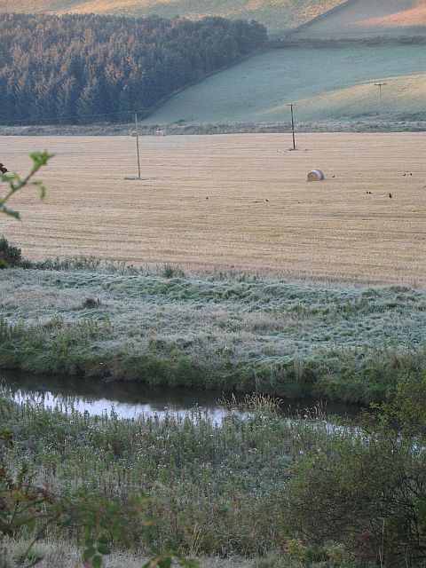
Gala Water, Allanshaugh.jpg - Angusmclellan

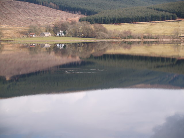
Bowerhope, St. Mary's Loch.jpg - Angusmclellan

Fala Hill.jpg - Angusmclellan

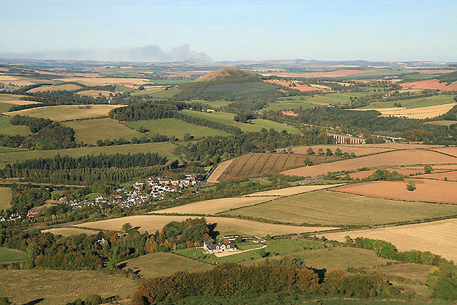
Looking northeast from Eildon Hill North.jpg - Angusmclellan

Gunknowe Loch, Tweedbank.jpg - Angusmclellan

Piperdean.jpg - Angusmclellan

A1scotland.jpg - Jonesey

Burnmouth Coast01 2009-01-18.jpg - Klaus with K

Scottsview3.1.jpg - StG1990

Homeli Knoll.jpg - File Upload Bot (Magnus Manske)

GalaWaterTorquhan.jpg - File Upload Bot (Magnus Manske)

Cairn and Summit - geograph.org.uk - 415652.jpg - GeographBot

The Howe - geograph.org.uk - 515367.jpg - GeographBot

The Howe - geograph.org.uk - 515373.jpg - GeographBot

The glen of the Plora Burn - geograph.org.uk - 535981.jpg - GeographBot

Hurklewinter Knowe - geograph.org.uk - 764212.jpg - GeographBot

Larriston Fell - geograph.org.uk - 764238.jpg - GeographBot

Watch Grain - geograph.org.uk - 764221.jpg - GeographBot

Tarth Water Floodplain - geograph.org.uk - 1077898.jpg - GeographBot

Waddenshope Burn - geograph.org.uk - 1226324.jpg - GeographBot

A Tweed Valley Mountain Rescue Team vehicle on Peat Law - geograph.org.uk - 1354378.jpg - GeographBot

A scene in the Moorfoots at Blackhope - geograph.org.uk - 1358812.jpg - GeographBot

Earl's Hill - geograph.org.uk - 1361917.jpg - GeographBot

Panorama from Big Law - geograph.org.uk - 1373938.jpg - GeographBot

View north-east from Windy Law - geograph.org.uk - 1375056.jpg - GeographBot

Hill farmland at the edge of the Western Cheviots - geograph.org.uk - 1380809.jpg - GeographBot

The Street at Hownam - geograph.org.uk - 1548728.jpg - GeographBot
❮
❯


