Wikimedi'Òc
Modes d'emploi

Cet album fait partie des albums
Cet album photos contient les sous-albums suivants :


A section of the Paston Way - geograph.org.uk - 600617.jpg - File Upload Bot (Magnus Manske)

Blakeney Esker SSSI - geograph.org.uk - 100092.jpg - GeographBot
Snettisham Watermill 11th Oct 2007 (2).JPG - File Upload Bot (Magnus Manske)

Fens rivers Sign.JPG - File Upload Bot (Magnus Manske)

Road Junction on Wherryman's Way into Loddon - geograph.org.uk - 452779.jpg - GeographBot

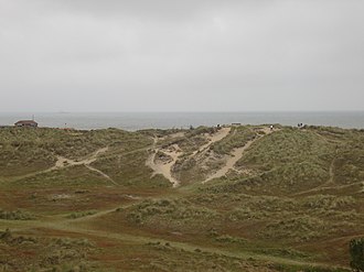
Winterton Dunes DSC00508.jpg - File Upload Bot (Magnus Manske)

Footpath to Trowse - geograph.org.uk - 1269204.jpg - GeographBot

Circular walk on the Wherrymans Way - back to Surlingham - geograph.org.uk - 1285363.jpg - GeographBot

Circular walk on the Wherrymans Way - reed beds - geograph.org.uk - 1285309.jpg - GeographBot

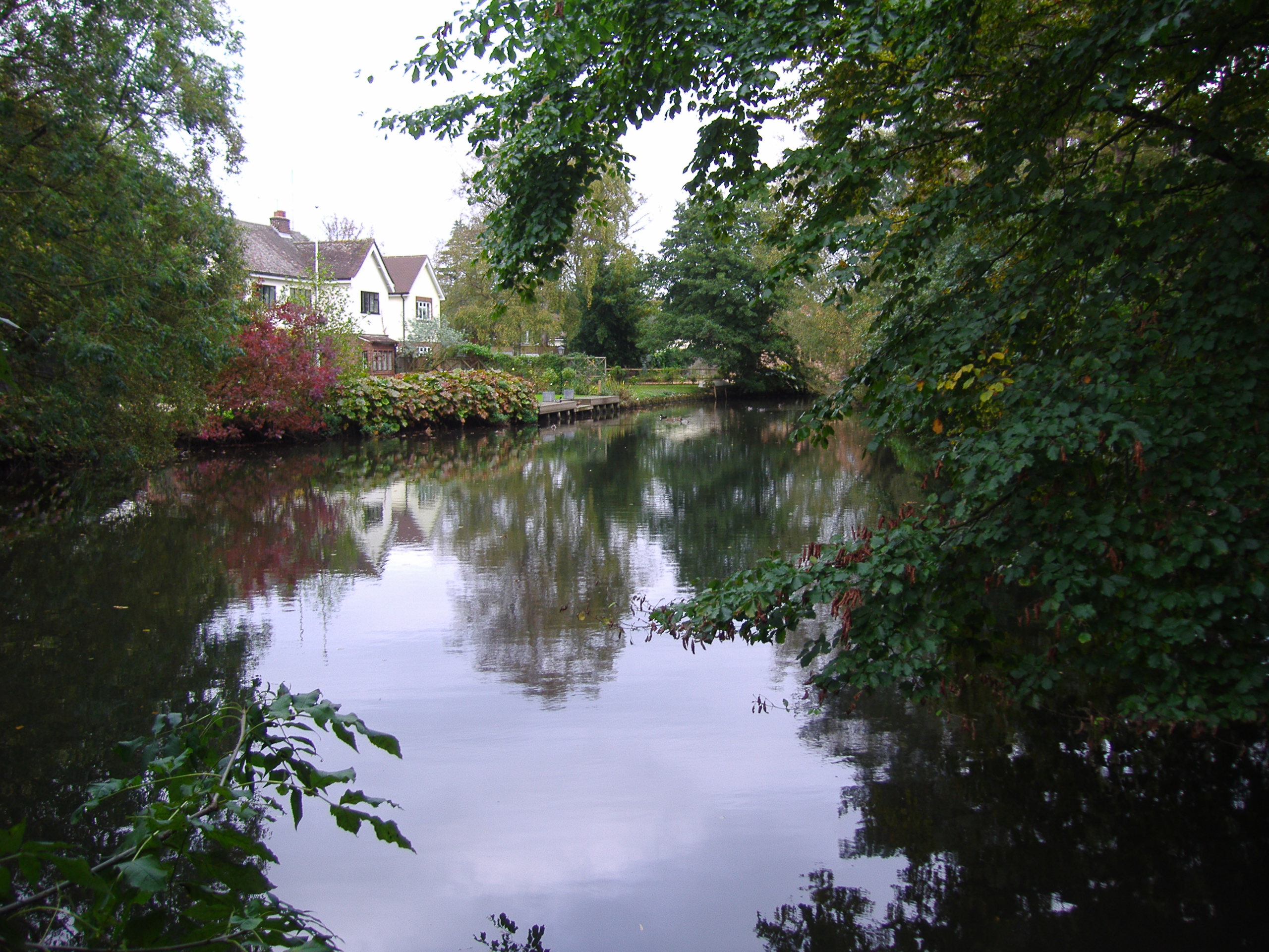
Circular walk on the Wherrymans Way - the Yare past Church Marsh - geograph.org.uk - 1285255.jpg - GeographBot

Following a drain - geograph.org.uk - 1285139.jpg - GeographBot

Southwest on the Wherrymans Way - geograph.org.uk - 1280706.jpg - GeographBot

Stile on circular walk - geograph.org.uk - 1285327.jpg - GeographBot

The red flag is up - geograph.org.uk - 1285342.jpg - GeographBot

A passing place for cyclists - geograph.org.uk - 1335066.jpg - GeographBot

View across marsh pastures - geograph.org.uk - 1335081.jpg - GeographBot

Claxton pumping station beside the Wherryman's Way - geograph.org.uk - 1358766.jpg - GeographBot

Path to the River Yare - geograph.org.uk - 1358549.jpg - GeographBot

Footbridge over watercourse - geograph.org.uk - 1363004.jpg - GeographBot

Artwork on the Wherryman's Way - geograph.org.uk - 1375600.jpg - GeographBot

Surlingham Marsh - information board - geograph.org.uk - 1375491.jpg - GeographBot

The eroding chalk - geograph.org.uk - 1417092.jpg - GeographBot

View along Hardley Staithe from the Wherryman's Way - geograph.org.uk - 1419440.jpg - GeographBot

View towards Hardley Mill from the Wherryman's Way - geograph.org.uk - 1468106.jpg - GeographBot

Approaching Norton Road on the Wherryman's Way - geograph.org.uk - 1493164.jpg - GeographBot

Two bridges - one old, one new - geograph.org.uk - 1493099.jpg - GeographBot

Approaching Claxton pumping station on the Wherryman's Way - geograph.org.uk - 1552595.jpg - GeographBot

Rail-reedhamswingbridge-amoswolfe.jpg - CommonsHelper2 Bot

Norwich Crag basement bed at St James Pit, Norwich 2011.jpg - Tall-timothy

Burgh Kiln quarry geological exposure, Norfolk, UK.jpg - Tall-timothy

Geological Map Crag District Chatwin 1954.jpg - Kognos

Geological Map East Anglia Chatwin 1954.jpg - Kognos

Coralline Crag Fossils Chatwin 1954.jpg - Kognos

Red Crag Fossils Chatwin 1954.jpg - Kognos