Wikimedi'Òc
Modes d'emploi

Cet album fait partie des albums
Cet album photos contient les sous-albums suivants :


LA basin.JPG - Gray wolf

Los Angeles satellite map.jpg - Ras67

Klimadiagramm-metrisch-deutsch-Los Angeles-USA.png - Hedwig in Washington

LA County Incorporated Areas Los Angeles highlighted.svg - Ixnayonthetimmay

Los Angeles Graph clim.svg - Urban~commonswiki

San Fernando Valley from Mulholland Dr.JPG - Reddingpa~commonswiki

LOS ANGELES REACTIVE POLLUTANT PROGRAM (LARPP), A UNIQUE MULTI-AGENCY AIR POLLUTION RESEARCH STUDY SPONSORED BY THE... - NARA - 552376.jpg - US National Archives bot

Los Angeles tiny eddy.jpg - Meow

Vietnam 1969? (9442611857).jpg - File Upload Bot (Magnus Manske)

Los Angeles (3390614635).jpg - Russavia

Los Angeles (3391430042).jpg - Russavia

Bel Air California, Stone Canyon Reservoir, and UCLA.jpg - Dicklyon

Stone Canyon Overlook 12 16 2016 (188655523).jpeg - Rodrigo.Argenton

Los Angleles by plane at night.jpg - Christophe Krief

Stone Canyon Reservoir.jpg - DocFreeman24
S2L2A-timelapse (8).gif - Niterurea

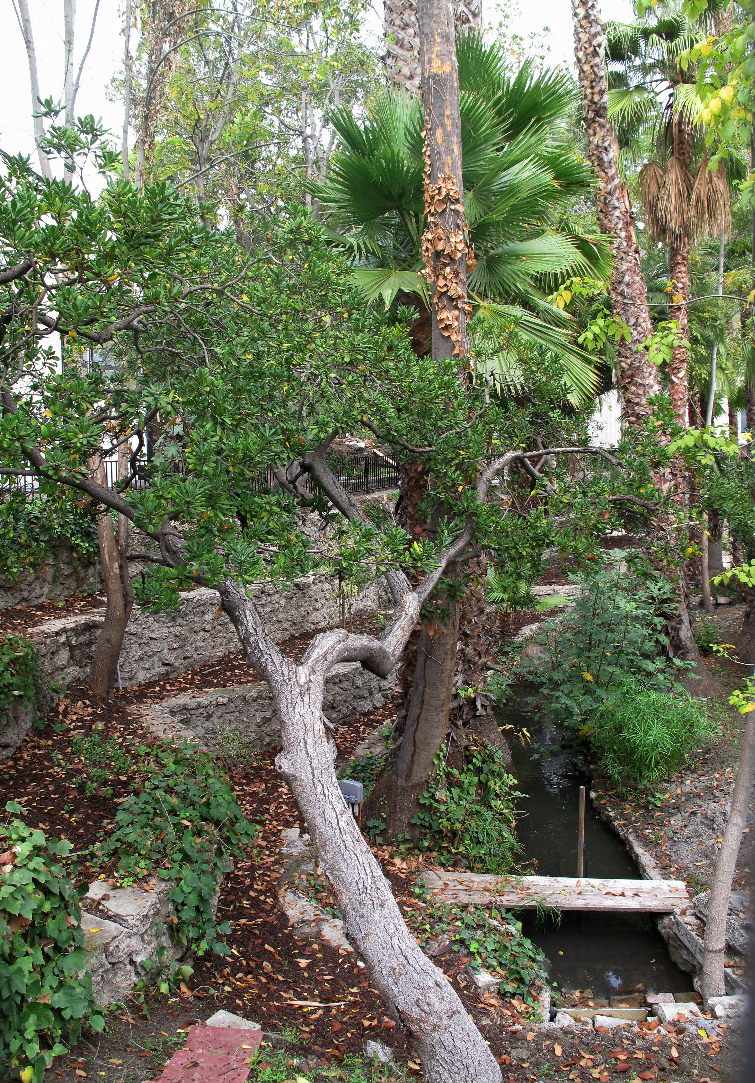
Stream in Brookside Los Angeles.jpg - Downtowngal

Pumpjacks Inglewood Oil Field seen from Baldwin Hills Scenic Overlook.jpg - Jengod
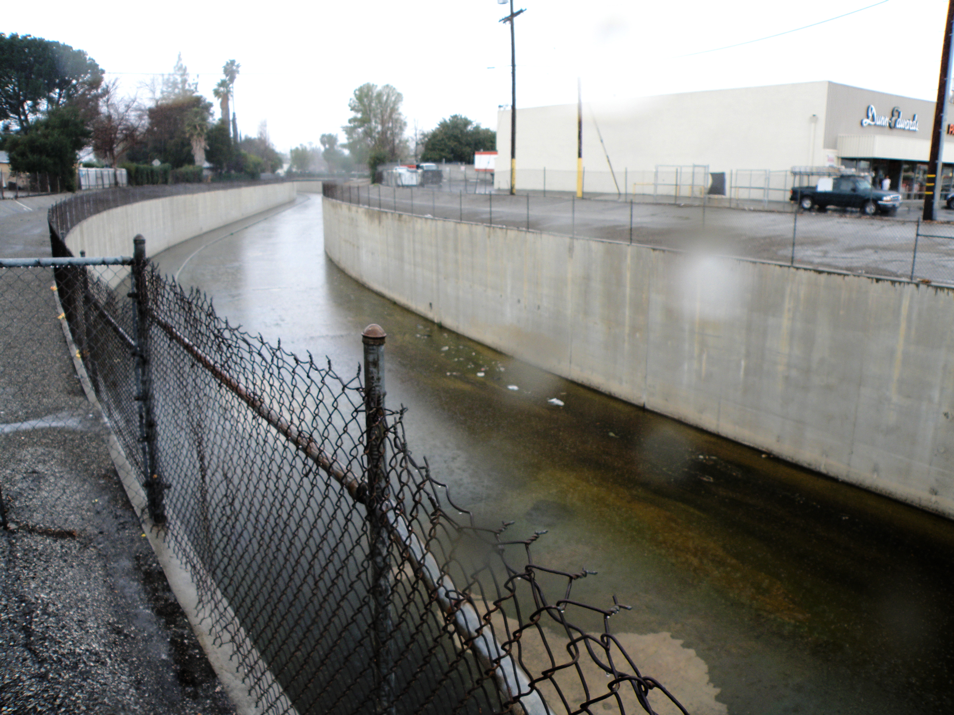
Stream in Brookside Los Angeles 2.jpg - Downtowngal

View of Los Angeles from path to Griffith Observatory.jpg - AGnias47

View of Los Angeles from Mulholland Drive overlook.jpg - AGnias47

View of Los Angeles from Griffith Observatory.jpg - AGnias47

Los Angeles - Long Beach Harbors, CA (ASTER).jpg - OptimusPrimeBot

Location of Los Angeles within Los Angeles County.jpg - Hfjhjoiijklij2

Los Angeles - March 2009 (9) (18114618499).jpg - Mariusz Beyger

Los Angeles - March 2009 (5) (17680163983).jpg - Mariusz Beyger

Los Angeles - March 2009 (7) (17680188183).jpg - Mariusz Beyger
Bell Creek.jpg - Magnolia677