Wikimedi'Òc
Modes d'emploi

Cet album fait partie des albums


LA County Incorporated Areas Calabasas highlighted.svg - Ixnayonthetimmay

California SD-27 (2011).svg - Kurykh
CA 33 certified.pdf - Vrysxy

Baist's real estate atlas of surveys of Los Angeles, California, 1921 (31382).jpg - Fæ
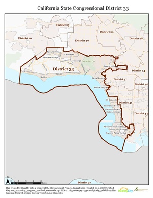
California US Congressional District 33 (since 2013).tif - 7partparadigm
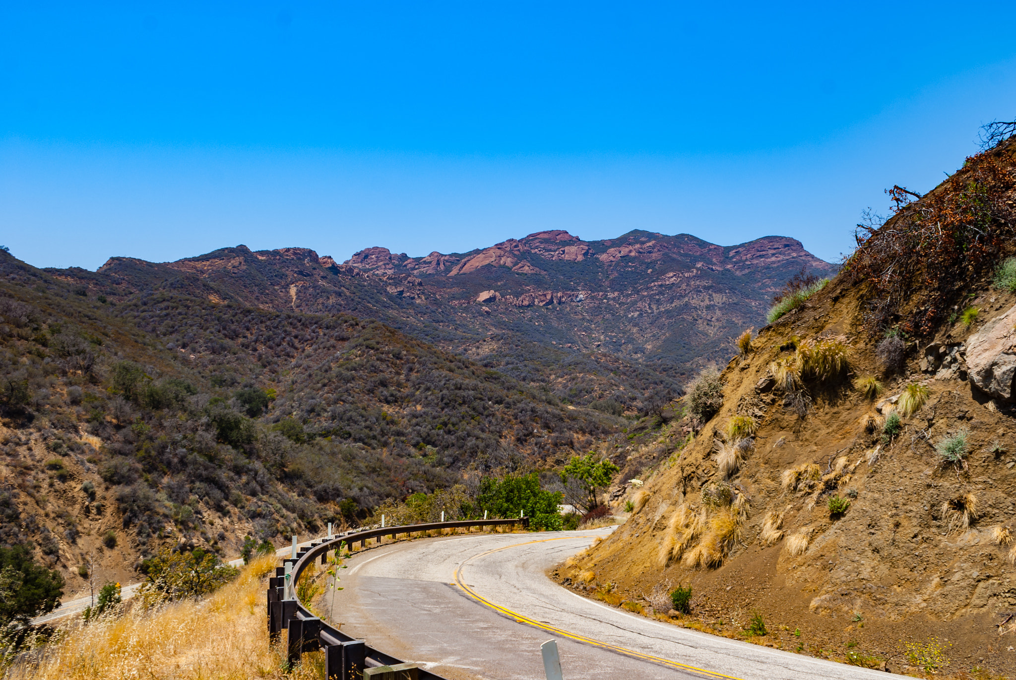
Mulholland Hwy (209636505).jpeg - Rodrigo.Argenton

Calabasas, CA, USA - panoramio.jpg - Panoramio upload bot

Calabassas, CA - Highway 101 - Flickr - Moto@Club4AG.jpg - Kobac

Chesebro Rd sign and wildlife crossing US 101 April 2025.jpg - AragonChristopherR17Z
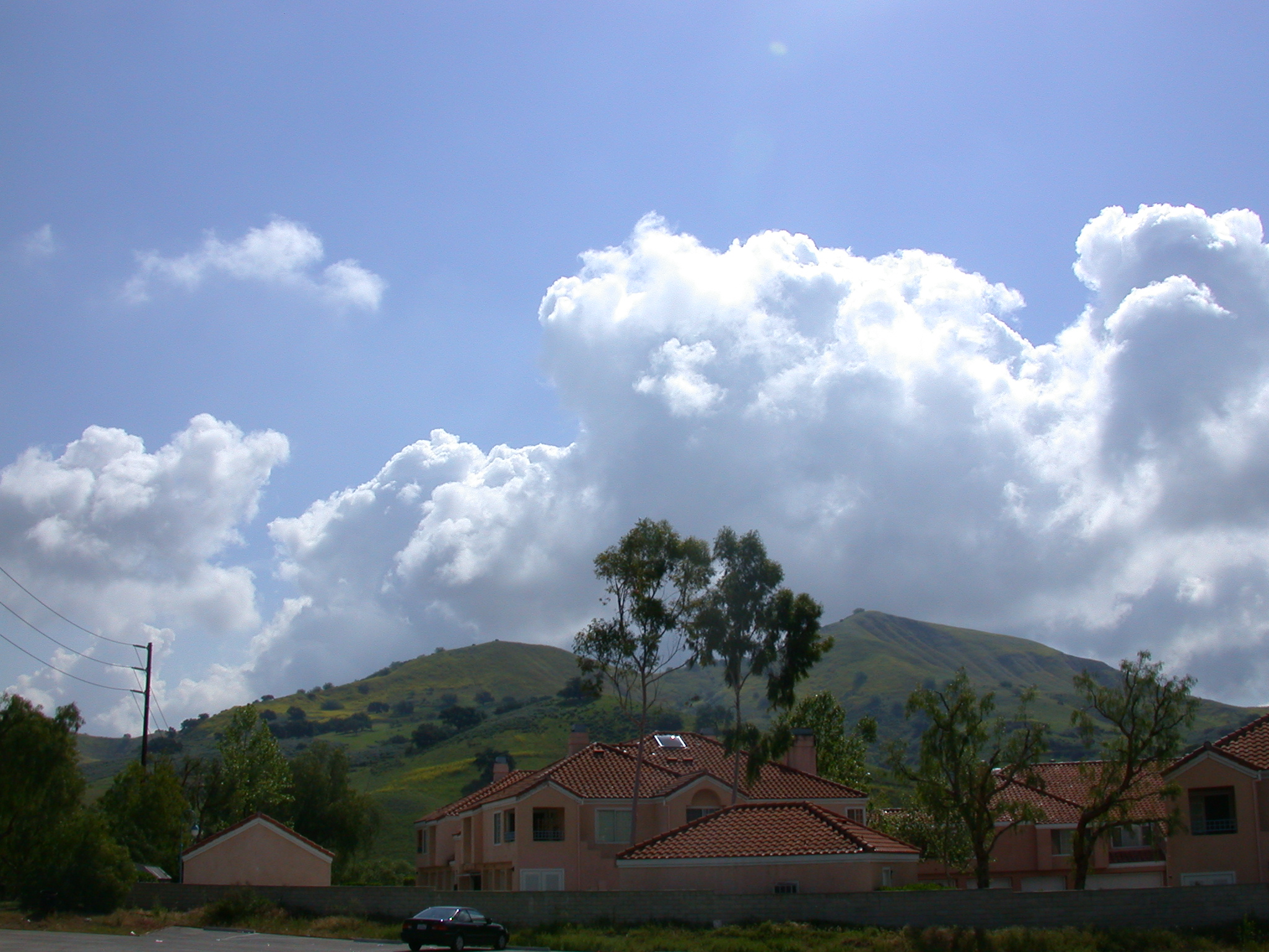
Calabasas California Condos and Hills 2003.JPG - Ppelleti

Mulholland Hwy Panorama (209763939).jpeg - Rodrigo.Argenton

US 101 towards hills at Las Vírgenes April 2025.jpg - AragonChristopherR17Z

US 101 towards Las Vírgenes April 2025.jpg - AragonChristopherR17Z

Calabasas fire near freeway.jpg - Flickr upload bot

Highway 101, Calabasas, CA - Flickr - Moto@Club4AG.jpg - Kobac

Airborne over Calabasas, California.jpg - Ponderosapine210

US 101 and Las Virgenes Road, Calabasas, California (2007).jpg - Mliu92
Aerial views of residential Los Angeles, California LCCN2013632611.tif - Fæ

NEW ROAD AND LOTS AWAITING DEVELOPMENT ARE SEEN OFF MULHOLLAND DRIVE IN THE SANTA MONICA MOUNTAINS ON THE WESTERN... - NARA - 557549.jpg - US National Archives bot

TERRACED HILLSIDE NEAR MULHOLLAND DRIVE IN THE SANTA MONICA MOUNTAINS ON THE WESTERN EDGE OF LOS ANGELES PORTENDS... - NARA - 557548.jpg - US National Archives bot