×

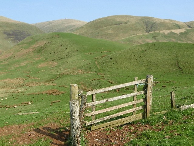
Gates, Hart Fell - geograph.org.uk - 68097.jpg - GeographBot

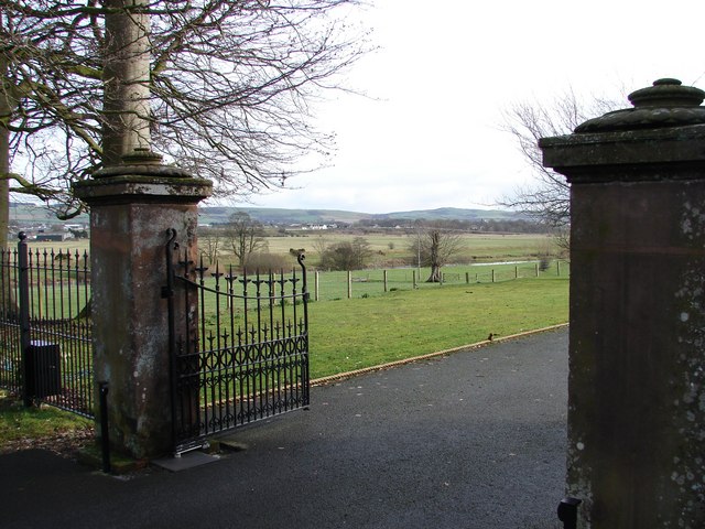
The entrance to Dunskey House near Portpatrick - geograph.org.uk - 93598.jpg - GeographBot

Route Barred - geograph.org.uk - 129337.jpg - GeographBot

Covered gateway, Cummertrees church - geograph.org.uk - 154746.jpg - GeographBot

Field near Shennanton House - geograph.org.uk - 162905.jpg - GeographBot

The church, Cummertrees - geograph.org.uk - 154742.jpg - GeographBot

Rough and marshy pasture in valley of Drumpail Burn - geograph.org.uk - 173796.jpg - GeographBot

The narrow col leading to East Mount Lowther - geograph.org.uk - 176333.jpg - GeographBot

Meadow Alongside River Cree - geograph.org.uk - 217233.jpg - GeographBot

Pasture land at Lochill - geograph.org.uk - 211026.jpg - GeographBot

Gate - geograph.org.uk - 237459.jpg - GeographBot

Sundown at Laggan - geograph.org.uk - 211206.jpg - GeographBot

Cummertrees Parish Church & Lych gate.JPG - Rosser1954

Gate entrance and gatehouse - geograph.org.uk - 263581.jpg - GeographBot

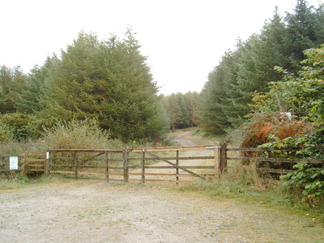
Forestry Gate, Near Kirerroch - geograph.org.uk - 271343.jpg - GeographBot

Farm Gate at Newton - geograph.org.uk - 307460.jpg - GeographBot

A battered Gate - geograph.org.uk - 324272.jpg - GeographBot

Field gate on the way to Catlowdy - geograph.org.uk - 322464.jpg - GeographBot

Gate to Sewage works at Moat Common - geograph.org.uk - 322424.jpg - GeographBot

Gate on the Scots Dyke - geograph.org.uk - 353304.jpg - GeographBot

Old gateway - geograph.org.uk - 353750.jpg - GeographBot

Gate near Meikleholmside - geograph.org.uk - 378201.jpg - GeographBot

Open gate, Arthur's Seat. - geograph.org.uk - 379435.jpg - GeographBot

Gate, fence, and wall, Blue Cairn - geograph.org.uk - 385968.jpg - GeographBot

Gate and fence, Auldton Fell - geograph.org.uk - 385930.jpg - GeographBot

Gate and plantation, Mountainblow. - geograph.org.uk - 385798.jpg - GeographBot

Gates, walls and fences, Stot Knowe - geograph.org.uk - 385878.jpg - GeographBot

Old Gate, Auldton Fell - geograph.org.uk - 385998.jpg - Rotatebot

Southern Uplands scene - geograph.org.uk - 417041.jpg - GeographBot

Hand-made gate, Walton Park, Knockvennie - geograph.org.uk - 429646.jpg - GeographBot

Corsock House, main gates - geograph.org.uk - 432038.jpg - GeographBot

Gates on Cycle Trail - geograph.org.uk - 431782.jpg - GeographBot

Gateway - geograph.org.uk - 440033.jpg - GeographBot

Distinctive gate post, no longer in use - geograph.org.uk - 454955.jpg - GeographBot

Entrance to Nether Craigenputtock - geograph.org.uk - 454958.jpg - GeographBot

Field gate and barn, Derrie Hill - geograph.org.uk - 450711.jpg - GeographBot

Gate, Ladder Law - geograph.org.uk - 467068.jpg - GeographBot

Gate on county boundary - geograph.org.uk - 463505.jpg - GeographBot

Gateway, Glen Trool Lodge - geograph.org.uk - 462671.jpg - GeographBot

Old inscription - geograph.org.uk - 463114.jpg - GeographBot

Field gate - geograph.org.uk - 484830.jpg - GeographBot

Field gateway - geograph.org.uk - 484611.jpg - GeographBot

Gate near Mossdale Lock - geograph.org.uk - 484049.jpg - GeographBot

Gateway into rough grazing - geograph.org.uk - 486312.jpg - GeographBot

Stone Gateposts - geograph.org.uk - 482996.jpg - GeographBot

Whiteside Hill towards Bidhouse Knowe - geograph.org.uk - 494736.jpg - GeographBot

Nether Glengenny - geograph.org.uk - 538495.jpg - GeographBot

Southern Upland Way near Culmark - geograph.org.uk - 553979.jpg - GeographBot

Walker's access gate on Blackgrain Height - geograph.org.uk - 556622.jpg - GeographBot

Agricultural bric-a-brac - geograph.org.uk - 568935.jpg - GeographBot

Gate, Dun Moss - geograph.org.uk - 565801.jpg - GeographBot

Gates to nowhere - geograph.org.uk - 574928.jpg - GeographBot

Track into the forest - geograph.org.uk - 583395.jpg - GeographBot

Power line and gate - geograph.org.uk - 590380.jpg - GeographBot

Entrance to Castle Kennedy estate - geograph.org.uk - 612970.jpg - GeographBot

Six-bar gate - geograph.org.uk - 610315.jpg - GeographBot

Ringford - A view through gates - geograph.org.uk - 676640.jpg - GeographBot

Top of the pass - geograph.org.uk - 680680.jpg - GeographBot

Gates and fences, Racks - geograph.org.uk - 691450.jpg - GeographBot

Broomrig House Gates - geograph.org.uk - 702432.jpg - GeographBot

Gate on the north side of Kinharvie Farm - geograph.org.uk - 714381.jpg - GeographBot

Keep Out - geograph.org.uk - 722789.jpg - GeographBot

Forest Gate - geograph.org.uk - 764136.jpg - GeographBot

Gate, Barr Burn Head Forest - geograph.org.uk - 762279.jpg - GeographBot

The entrance to Kirkconnell - geograph.org.uk - 1102055.jpg - GeographBot

Old Gate - geograph.org.uk - 1153263.jpg - GeographBot

Hensol Estate Gatehouse, near Mossdale - geograph.org.uk - 1219538.jpg - GeographBot

A field gate near Harperwhat - geograph.org.uk - 1246579.jpg - GeographBot

Cocklehaen Gate - geograph.org.uk - 1301188.jpg - GeographBot

Loch Fell - geograph.org.uk - 1320749.jpg - GeographBot

Gate to field - geograph.org.uk - 1383155.jpg - GeographBot

Gate to the beach - geograph.org.uk - 1402672.jpg - GeographBot

In Kirriereoch Forest - geograph.org.uk - 1540161.jpg - GeographBot

Gate on the Merrick path - geograph.org.uk - 1603650.jpg - GeographBot

Gate leading up onto Castle Point - geograph.org.uk - 1635982.jpg - GeographBot

New gate on the coastal path near Castle Point - geograph.org.uk - 1635870.jpg - GeographBot

Duck when passing^ - geograph.org.uk - 1756103.jpg - GeographBot

Gate above the Marbrack Burn - geograph.org.uk - 1756148.jpg - GeographBot

Goldie Park gates - geograph.org.uk - 1769799.jpg - GeographBot

Entrance to track to the woods at Polmoddie - geograph.org.uk - 1804838.jpg - GeographBot

Carnsalloch House gatepiers, Kirkmahoe Parish, Dumfries and Galloway.jpg - Rosser1954

Gateway to Holywood Cemetery - geograph.org.uk - 5334947.jpg - GeographBot

Gate to Carsfad Loch - geograph.org.uk - 5731610.jpg - GeographBot

Gate in Dry Stane Dyke - geograph.org.uk - 5736046.jpg - GeographBot

Gateway in Dry Stane Dyke - geograph.org.uk - 5736050.jpg - GeographBot
❮
❯


