Wikimedi'Òc
Modes d'emploi

Cet album fait partie des albums
Cet album photos contient les sous-albums suivants :


Derelict mine buildings in Glen Mooar - geograph.org.uk - 476315.jpg - GeographBot

Footpath from carpark to Laxey Wheel - geograph.org.uk - 475775.jpg - GeographBot

Footpath from carpark to Laxey Wheel - geograph.org.uk - 475803.jpg - GeographBot

How the pump is attached to the source of power. - geograph.org.uk - 476331.jpg - GeographBot

Laxey River, from the footbridge to Laxey Wheel - geograph.org.uk - 475791.jpg - GeographBot

Part of the Mines Trail, Laxey Wheel - geograph.org.uk - 476346.jpg - GeographBot

Part of the Mines Trail, Laxey Wheel - geograph.org.uk - 476350.jpg - GeographBot

Part of the Mines Trail, Laxey Wheel - geograph.org.uk - 476360.jpg - GeographBot

Detail of the Laxey Wheel - geograph.org.uk - 725581.jpg - GeographBot

Lady Isabella from the north-west - geograph.org.uk - 725562.jpg - GeographBot

Lady Isabella Wheel at Laxey - geograph.org.uk - 764579.jpg - GeographBot

Lady Isabella - geograph.org.uk - 773913.jpg - GeographBot

Mine entrance in Glen Mooar - geograph.org.uk - 773880.jpg - GeographBot

Old mine buildings, Glen Mooar - geograph.org.uk - 773895.jpg - GeographBot

Old mine buildings, Glen Mooar - geograph.org.uk - 773905.jpg - GeographBot

Laxey Wheel from river - geograph.org.uk - 784725.jpg - GeographBot

In Ballaglass Glen - geograph.org.uk - 819848.jpg - GeographBot

The ford, Port Cornaa - geograph.org.uk - 814132.jpg - GeographBot

Laxey Glen Gardens, Isle of Man - geograph.org.uk - 855976.jpg - GeographBot

A peaceful scene near Baldromma - geograph.org.uk - 894030.jpg - GeographBot
Coasting down towards Laxey - geograph.org.uk - 894000.jpg - GeographBot

Hard work for an old 'un - geograph.org.uk - 894100.jpg - GeographBot

Northbound near Baldromma - geograph.org.uk - 894025.jpg - GeographBot

Outdoor activities - Ballaglass Glen - geograph.org.uk - 1026073.jpg - GeographBot

North Barrule from Clagh Ouyr - geograph.org.uk - 1063916.jpg - GeographBot

The end of the line at Sea Lion Cove - geograph.org.uk - 1107609.jpg - GeographBot

Lady Isabella - geograph.org.uk - 1117924.jpg - GeographBot

Laxey Glen from the top of Lady Isabella - geograph.org.uk - 1113929.jpg - GeographBot

Laxey Wheel close up - geograph.org.uk - 1113938.jpg - GeographBot

Pasture above Ballajora - geograph.org.uk - 1118110.jpg - GeographBot

Pebble spit at Port Cornaa - geograph.org.uk - 1118085.jpg - GeographBot

Port Cornaa - geograph.org.uk - 1118079.jpg - GeographBot

Port Lewaigue - geograph.org.uk - 1118138.jpg - GeographBot

Shoreline at Port Mooar - geograph.org.uk - 1118157.jpg - GeographBot

Lane leading to Laxey - geograph.org.uk - 1139593.jpg - GeographBot

Laxey Wheel and nearby houses - geograph.org.uk - 1139544.jpg - GeographBot

Close Mooar Farm - geograph.org.uk - 1171043.jpg - GeographBot

SE slopes of Mullagh Ouyr to Carn Gerjoil - geograph.org.uk - 1170424.jpg - GeographBot

South East slopes of Mullagh Ouyr towards Glen Roy - geograph.org.uk - 1170433.jpg - GeographBot

Ballaglass Glen from the A15 at Coorna - geograph.org.uk - 1191084.jpg - GeographBot

Ballaglass Glen from the A15 at Coorna - geograph.org.uk - 1191093.jpg - GeographBot

Beach Cottage, Port Mooar - geograph.org.uk - 1190795.jpg - GeographBot

Beside the A15, Ballajora - geograph.org.uk - 1191067.jpg - GeographBot

Junction on the A15 at Coorna - geograph.org.uk - 1191078.jpg - GeographBot

Port Mooar, western shore - geograph.org.uk - 1190806.jpg - GeographBot

Port Mooar - geograph.org.uk - 1190803.jpg - GeographBot

Track works depot on the Electric Tramway near Dhoon - geograph.org.uk - 1191114.jpg - GeographBot

Track works on the Electric Tramway above Ramsey - geograph.org.uk - 1190734.jpg - GeographBot

Track works on the Electric Tramway at Ballajora - geograph.org.uk - 1190818.jpg - GeographBot

Track works on the Electric Tramway at Ballasloe - geograph.org.uk - 1191097.jpg - GeographBot

Track works on the Electric Tramway near Dhoon - geograph.org.uk - 1191122.jpg - GeographBot

View across the fields at Leiwague - geograph.org.uk - 1190760.jpg - GeographBot

View south from Ballakilley, towards Port Mooar - geograph.org.uk - 1190791.jpg - GeographBot

View west from Ballakilley, towards Snaefell - geograph.org.uk - 1190785.jpg - GeographBot

Memorial Plaque - geograph.org.uk - 1252866.jpg - GeographBot

No Queues Today - geograph.org.uk - 1252895.jpg - GeographBot

Anticline, Dhoon Beach - geograph.org.uk - 1606158.jpg - GeographBot

Laxey Valley from South Cape - geograph.org.uk - 1609481.jpg - GeographBot

Laxey Valley from South Cape - geograph.org.uk - 1609489.jpg - GeographBot

Manx Electric Railway, Laxey Old Road - geograph.org.uk - 1609509.jpg - GeographBot

Manx Electric Railway, South Cape - geograph.org.uk - 1609499.jpg - GeographBot

Manx Electric Railway near Halfway House - geograph.org.uk - 1607734.jpg - GeographBot

View across Laxey Valley - geograph.org.uk - 1609515.jpg - GeographBot

View from Laxey Wheel - geograph.org.uk - 1609473.jpg - GeographBot

Halfway House request stop, Manx Electric Railway - geograph.org.uk - 1657183.jpg - GeographBot

Lake at Ballannette - geograph.org.uk - 1654891.jpg - GeographBot

Lonan Old Parish Church - geograph.org.uk - 1654833.jpg - GeographBot

Laxey - Entrance drive to Laxey Wheel parking area - geograph.org.uk - 1706899.jpg - GeographBot

Laxey - Mines Trail - Machine House, Engine House - geograph.org.uk - 1707286.jpg - GeographBot

Laxey - Mines Trail - Rod Viaduct view to southeast - geograph.org.uk - 1707288.jpg - GeographBot

Laxey - The Mines Trail, Rod Viaduct, Laxey Wheel - geograph.org.uk - 1707269.jpg - GeographBot

Laxey - The Mines Trail - Entrance to The Old Adit - geograph.org.uk - 1707220.jpg - GeographBot

Laxey - The Mines Trail - River Mooar - geograph.org.uk - 1707280.jpg - GeographBot

Laxey - The Mines Trail - River Mooar footbridge - geograph.org.uk - 1707203.jpg - GeographBot

Laxey - The Mines Trail - River Mooar footbridge - geograph.org.uk - 1707208.jpg - GeographBot

Laxey - The Mines Trail - River Mooar footbridge - geograph.org.uk - 1707212.jpg - GeographBot

Laxey - The Mines Trail - River Mooar waterfall - geograph.org.uk - 1707218.jpg - GeographBot

Laxey - The Mines Trail - Rod Viaduct - geograph.org.uk - 1707272.jpg - GeographBot

Laxey - The Mines Trail - T-Rocker - geograph.org.uk - 1707277.jpg - GeographBot

Laxey - The Mines Trail - View to south from hillside - geograph.org.uk - 1707290.jpg - GeographBot

Laxey - The Mines Trail - View to south near T-Rocker - geograph.org.uk - 1707289.jpg - GeographBot

Laxey - The Mines Trail at the top of the hillside - geograph.org.uk - 1707262.jpg - GeographBot

Laxey - The Mines Trail near the top of the hillside - geograph.org.uk - 1707252.jpg - GeographBot

Laxey Wheel - Custom red sports car in parking area - geograph.org.uk - 1707292.jpg - GeographBot

Laxey Wheel - View to northwest - geograph.org.uk - 1706933.jpg - GeographBot

Laxey Wheel - View to southwest - geograph.org.uk - 1706949.jpg - GeographBot

Laxey Wheel - View to the west - geograph.org.uk - 1706960.jpg - GeographBot

Details of sea cliffs - geograph.org.uk - 1717352.jpg - GeographBot

Dhoon Glen - Dhoon Bay Beach - geograph.org.uk - 1712464.jpg - GeographBot

Dhoon Glen - Dhoon Bay Beach and Barony Hill - geograph.org.uk - 1712460.jpg - GeographBot

Dhoon Glen - Dhoon Bay Beach and Barony Hill - geograph.org.uk - 1712488.jpg - GeographBot

Dhoon Glen - Dhoon Bay hillside - geograph.org.uk - 1712482.jpg - GeographBot

Hairpin bend on the A2 in Baldrine - geograph.org.uk - 1727922.jpg - GeographBot

Over the border at Baldrine - geograph.org.uk - 1727920.jpg - GeographBot

Sea Lion Cove - geograph.org.uk - 1721194.jpg - GeographBot

Sea Lion Cove from the back - geograph.org.uk - 1721252.jpg - GeographBot

Side road off the A2 - geograph.org.uk - 1727916.jpg - GeographBot

The crossing at Ballabeg, from the South - geograph.org.uk - 1727956.jpg - GeographBot

The road to Bibaloe Beg from the A11 - geograph.org.uk - 1727909.jpg - GeographBot

Tram stop on the A2 north of Baldrine - geograph.org.uk - 1727924.jpg - GeographBot

Weir near Groudle - geograph.org.uk - 1721292.jpg - GeographBot
Up the hillside towards Snaefell - panoramio.jpg - Panoramio upload bot

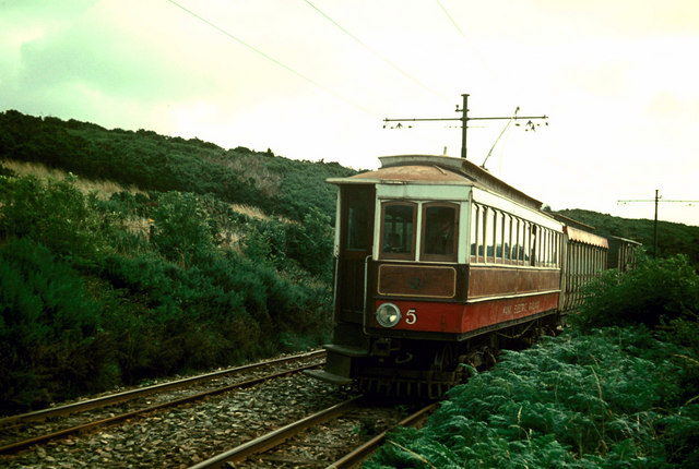
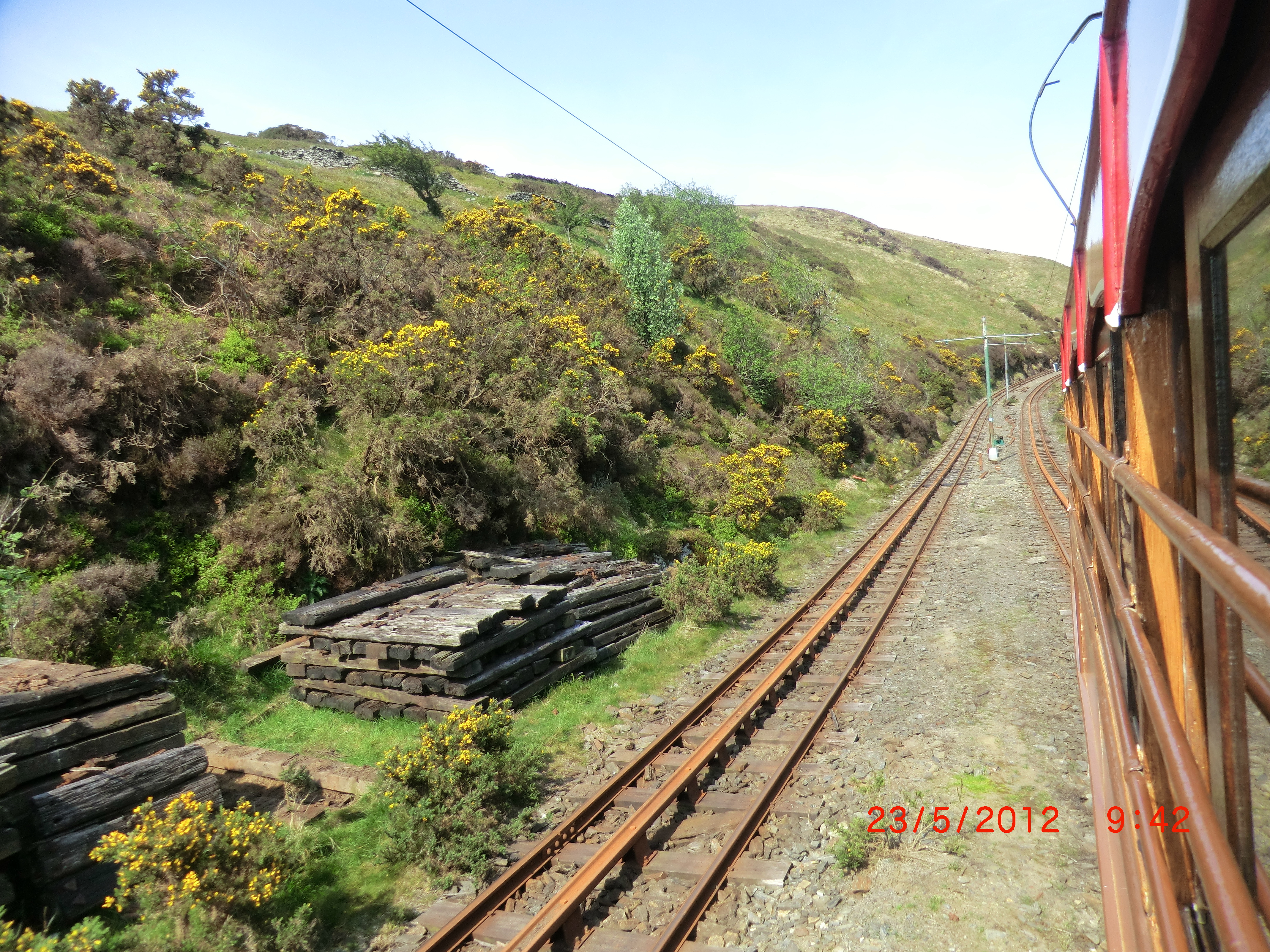
View from the Tram - panoramio (1).jpg - Panoramio upload bot

View from the Tram - panoramio (5).jpg - Panoramio upload bot

Tram Rail bridge at Laxey - panoramio.jpg - Panoramio upload bot

View of the Coast at Laxey - panoramio (2).jpg - Panoramio upload bot

View of the Coast North of Laxey - panoramio.jpg - Panoramio upload bot

Tram crossing - panoramio.jpg - Panoramio upload bot

View of the coast from the Tram - panoramio.jpg - Panoramio upload bot

Garff Sheading - Isle of Man.svg - Hogweard