Wikimedi'Òc
Modes d'emploi

Cet album fait partie des albums
Cet album photos contient les sous-albums suivants :


Aa cesterzoo gabions.jpg - Basar

Gabion-hengistbury-head.JPG - Basar

Northala TQ1283 157st.jpg - RHaworth

Northala TQ1383 149.jpg - Hohum

Rodden Brook, Frome - geograph.org.uk - 85761.jpg - GeographBot

Barlings Eau near Reasby Grange - geograph.org.uk - 186960.jpg - GeographBot

Gabions, Flint - geograph.org.uk - 203601.jpg - GeographBot

Nant Barrog - geograph.org.uk - 216344.jpg - GeographBot

Esk bank erosion.jpg - File Upload Bot (Magnus Manske)

River bank reinforcement - geograph.org.uk - 391552.jpg - GeographBot

Remedial work at Clyne Locks - geograph.org.uk - 458922.jpg - GeographBot

Roadside gabions. - geograph.org.uk - 534177.jpg - GeographBot

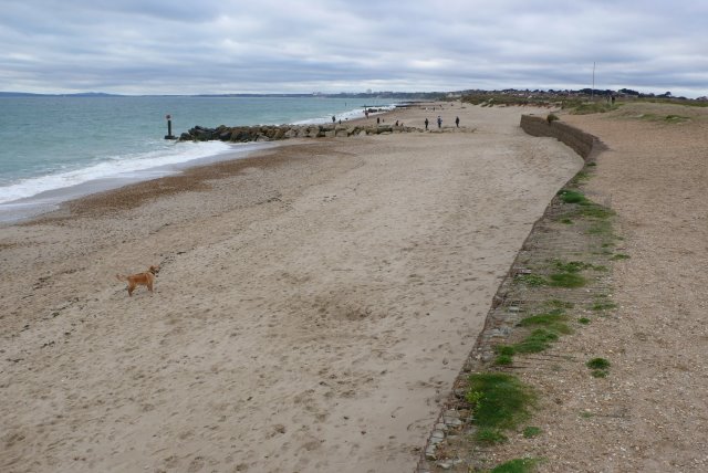
Studland Bay - geograph.org.uk - 599614.jpg - GeographBot

Minotaur Maze, Kielder Castle (Detail) - geograph.org.uk - 604990.jpg - GeographBot
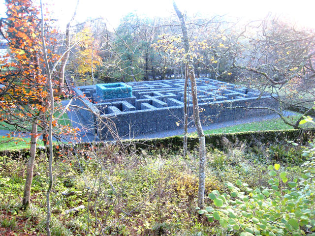
The Minotaur Maze, Kielder Castle - geograph.org.uk - 604118.jpg - GeographBot

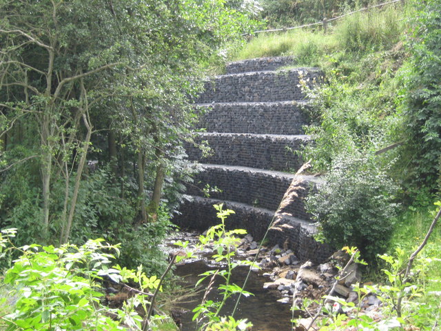
Rural railway bridge - geograph.org.uk - 661730.jpg - GeographBot

Coastal path near Annalong (2) - geograph.org.uk - 709834.jpg - GeographBot

The railway bridge over the River Calder needs a coat of paint - geograph.org.uk - 737891.jpg - GeographBot

Gabion boxes and beach huts, South Beach Studland. - geograph.org.uk - 767193.jpg - GeographBot

Gabions 1 -Netley - geograph.org.uk - 836534.jpg - GeographBot

Gabions 2 - Netley - geograph.org.uk - 836544.jpg - GeographBot

Stone Maze,Tannaghmore Gardens - geograph.org.uk - 871457.jpg - GeographBot

Reservoir outlet , Wade Wood, Luddenden - geograph.org.uk - 944272.jpg - GeographBot

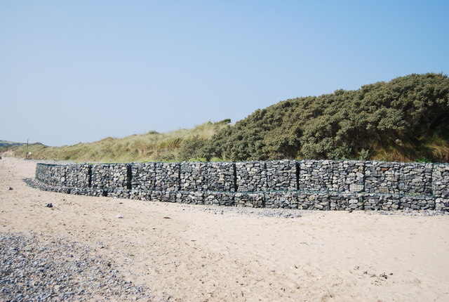
Rock gabions protecting dunes - geograph.org.uk - 944864.jpg - GeographBot

Undermined gabion groyne - geograph.org.uk - 945036.jpg - GeographBot

Northala Fields Gabions - geograph.org.uk - 1018938.jpg - GeographBot

Northala Fields steps and gabions - geograph.org.uk - 1018884.jpg - GeographBot
Beach near Hengistbury Head - geograph.org.uk - 1047999.jpg - GeographBot

Gabion boxes lining the River Medway near the Leigh flood barrier - geograph.org.uk - 1048589.jpg - GeographBot

Gabions, Solent Beach - geograph.org.uk - 1040956.jpg - GeographBot

Gabion Boxes, R. Medway, Tonbridge - geograph.org.uk - 1067936.jpg - GeographBot

The River Esk - geograph.org.uk - 1064990.jpg - GeographBot

Fake Reef-wall - geograph.org.uk - 1087769.jpg - GeographBot

Southern end of Frodsham Score with saltmarsh and Mersey Estuary to left - geograph.org.uk - 1103814.jpg - GeographBot

Droitwich Junction canal Works. - geograph.org.uk - 1125346.jpg - GeographBot

Blackwater, gabions - geograph.org.uk - 1145164.jpg - GeographBot

Hillside with house - geograph.org.uk - 1147825.jpg - GeographBot

Gabion boxes on the River Medway - geograph.org.uk - 1159165.jpg - GeographBot

A view across the Zig-Zag path - geograph.org.uk - 1173742.jpg - GeographBot

A view down the Zig-Zag path in the mist - geograph.org.uk - 1173690.jpg - GeographBot

Gabions by the Pyg track - geograph.org.uk - 1173641.jpg - GeographBot

Snow and mist on the Pyg track - geograph.org.uk - 1173633.jpg - GeographBot

View along the Pyg track towards Glaslyn - geograph.org.uk - 1173659.jpg - GeographBot

Gabion boxes on an unnamed stream, North Farm Estate - geograph.org.uk - 1185444.jpg - GeographBot

Radlett Brook, Railway bridge - geograph.org.uk - 1266471.jpg - GeographBot

Street furniture in West Forge Lane - geograph.org.uk - 1279044.jpg - GeographBot

Tugford Brook - upstream at Tugford - geograph.org.uk - 1283157.jpg - GeographBot

Protecting the beach cafe - geograph.org.uk - 1295122.jpg - GeographBot
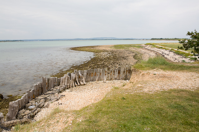
Root of Ella Nore spit - geograph.org.uk - 1368089.jpg - GeographBot

Under the M5 - geograph.org.uk - 1373406.jpg - GeographBot

Column on the shoreline - geograph.org.uk - 1385660.jpg - GeographBot

Coastal defences at Bartraw Strand - geograph.org.uk - 1402104.jpg - GeographBot
Gabion training on Crow Howle Beck - geograph.org.uk - 1432577.jpg - GeographBot

Underpass under the Haltwhistle By-pass - geograph.org.uk - 1534338.jpg - GeographBot

Gabion wall of cliff reinforcement, Durlston Bay - geograph.org.uk - 1556750.jpg - GeographBot

Comprehensive sea defences at Solent Breezes - geograph.org.uk - 1590577.jpg - GeographBot

Hillfarrance Brook, Oake - geograph.org.uk - 1595083.jpg - GeographBot

Cricieth-Criccieth - Min-y-Traeth - geograph.org.uk - 1614526.jpg - GeographBot

Bridleway bridge over Nickynack Beck Croxdale County Durham - geograph.org.uk - 1621002.jpg - GeographBot

Gabion - geograph.org.uk - 1715950.jpg - GeographBot

Gabion wall on a stream in Strawberry Wood - geograph.org.uk - 1710172.jpg - GeographBot

Stream off Batley Road, West Ardsley - geograph.org.uk - 1747062.jpg - GeographBot

New drains - geograph.org.uk - 648659.jpg - GeographBot

Damaged Coastal Defenses at Redgate Beach.jpg - Partonez

The River Ryburn, Sowerby Bridge - geograph.org.uk - 2275235.jpg - GeographBot

Basil, Rochdale Canal, Todmorden, Yorkshire (24719054075).jpg - Geo Swan

Dog alley at Glass Houghton - geograph.org.uk - 2762167.jpg - GeographBot

Lost bike on the gabions - geograph.org.uk - 3418011.jpg - GeographBot

Esplanade, East Cowes, Isle of Wight, England.jpg - ITookSomePhotos

Esplanade, East Cowes, Isle of Wight, England (2).jpg - ITookSomePhotos
Gabion boxes, South Beach - geograph.org.uk - 3704649.jpg - GeographBot

Gabion groynes on the beach at Old Hunstanton - geograph.org.uk - 5436177.jpg - GeographBot