Wikimedi'Òc
Modes d'emploi

Cet album fait partie des albums
Cet album photos contient les sous-albums suivants :


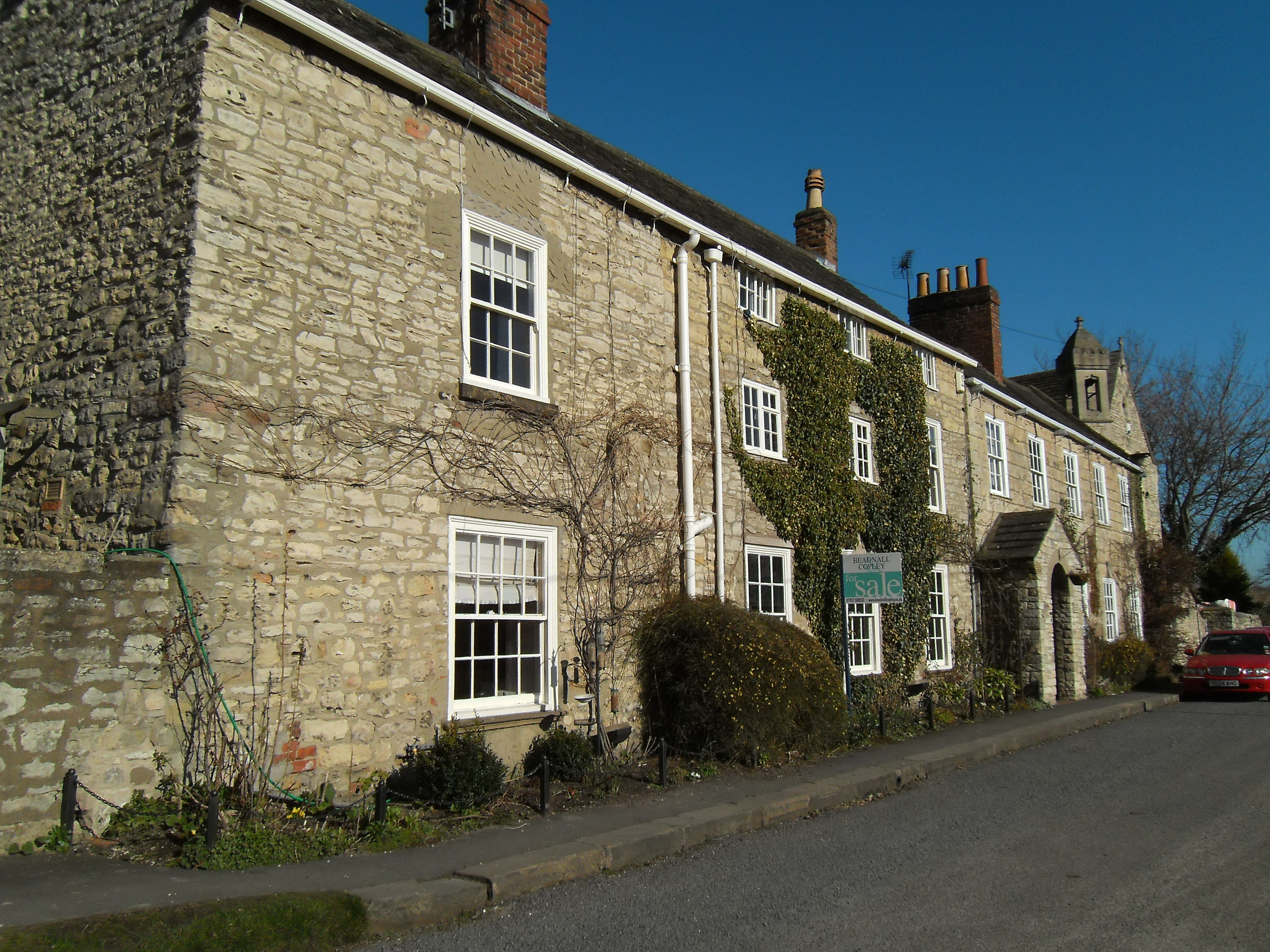
Bramhope 041.jpg - Storye book

Foxwood main view.jpg - Foxwood

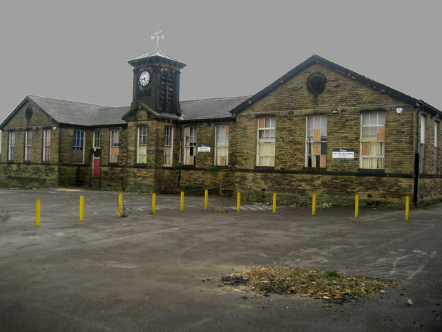
School for Sale - geograph.org.uk - 139479.jpg - GeographBot

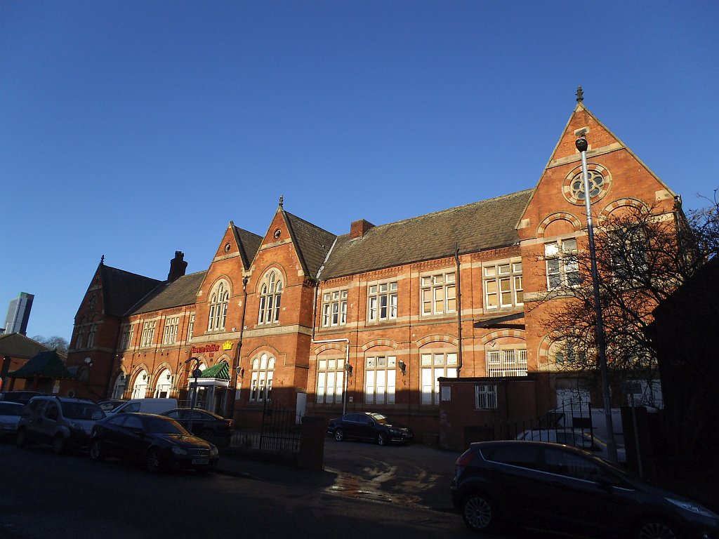
Rawdon Friends School - geograph.org.uk - 201236.jpg - GeographBot

Former Sunday School buildings at St James' church, Wetherby.jpg - Mtaylor848

Elinor Lupton Centre, Headingley Lane, Leeds.jpg - Green Lane

Former Central High School - Great George Street - geograph.org.uk - 365212.jpg - GeographBot

The Old National School - New Street, Farsley - geograph.org.uk - 369095.jpg - GeographBot

Elinor Lupton Centre - Leeds Girls' High School - Headingley - geograph.org.uk - 379952.jpg - GeographBot

Fartown Sunday School - Fartown - geograph.org.uk - 375603.jpg - GeographBot

Inscription over door at Old School - Town Street, Stanningley - geograph.org.uk - 371402.jpg - GeographBot

Old School - Town Street, Stanningley - geograph.org.uk - 371399.jpg - GeographBot

Vets4Pets - Stanningley Rd, Bramley - geograph.org.uk - 378712.jpg - GeographBot

Inscription over the door of the Old School - Valley Road - geograph.org.uk - 396167.jpg - GeographBot

Old School - Valley Road - geograph.org.uk - 396163.jpg - GeographBot

Former Leeds Grammar School - Moorland Road - geograph.org.uk - 403023.jpg - GeographBot

Bethel Baptist School - St Andrew's Close, Rodley - geograph.org.uk - 459084.jpg - GeographBot

Bethel School - Club Lane - geograph.org.uk - 459075.jpg - GeographBot

Old School - Troy Road - geograph.org.uk - 452840.jpg - GeographBot

Former School - Cattle Market Street - geograph.org.uk - 468551.jpg - GeographBot

Former School - Sandford Road - geograph.org.uk - 460088.jpg - GeographBot

Robin Hood - Former Primary School - geograph.org.uk - 534208.jpg - GeographBot

Lower Wortley Community Centre - Lower Wortley Road - geograph.org.uk - 573212.jpg - GeographBot

Former School - Oatland Place - geograph.org.uk - 580923.jpg - GeographBot

Site of the former Waterloo Infants' School - Waterloo Road - geograph.org.uk - 581775.jpg - GeographBot

The Alcuin School - Woodland Lane - geograph.org.uk - 586541.jpg - GeographBot

Former Leeds Charity School - St John's Churchyard - geograph.org.uk - 632761.jpg - GeographBot

Former school, Ledsham - geograph.org.uk - 633223.jpg - GeographBot

Former School - Street Lane, Gildersome - geograph.org.uk - 648929.jpg - GeographBot

Old School - Gelderd Road - geograph.org.uk - 653208.jpg - GeographBot

Old School House - Gelderd Road - geograph.org.uk - 653207.jpg - GeographBot

West Leeds Family Learning Centre - Whingate Road - geograph.org.uk - 651831.jpg - GeographBot

Whingate Early Years Centre - Whingate Road - geograph.org.uk - 651826.jpg - GeographBot

Drighlington Junior School - Whitehall Road - geograph.org.uk - 668742.jpg - GeographBot

School - Bridge Street - geograph.org.uk - 668954.jpg - GeographBot

School - Bridge Street - geograph.org.uk - 668956.jpg - GeographBot

School House - Bridge Street - geograph.org.uk - 668958.jpg - GeographBot

St Michael's Sunday Schools - Cherry Tree Walk - geograph.org.uk - 669266.jpg - GeographBot

Former National School, Cross Green, Otley - geograph.org.uk - 694101.jpg - GeographBot

Derelict School House - Roseville Centre - Gledhow Road - geograph.org.uk - 703628.jpg - GeographBot

Former School - East Street - geograph.org.uk - 745549.jpg - GeographBot

Former School - Kildare Terrace, Whitehall Road - geograph.org.uk - 780746.jpg - GeographBot

Stoneleigh Court Apartments - Shadwell Lane - geograph.org.uk - 791304.jpg - GeographBot

Former School - Nursery Way, Clifford - geograph.org.uk - 949951.jpg - GeographBot

Former St Edward's Primary School - Bramham Road, Clifford - geograph.org.uk - 949972.jpg - GeographBot

Former Central High School - Woodhouse Lane - geograph.org.uk - 974709.jpg - GeographBot

The former St Michael's College - St John's Road - geograph.org.uk - 974653.jpg - GeographBot

The former St Michael's College - St John's Road - geograph.org.uk - 974656.jpg - GeographBot

Former School - Armley Lodge Road, Armley - geograph.org.uk - 1014673.jpg - GeographBot

Converted school - geograph.org.uk - 1058137.jpg - GeographBot

Site of former Special School - Wetherby Road - geograph.org.uk - 1128288.jpg - GeographBot
Drighlington Junior School - Closed - geograph.org.uk - 1146034.jpg - GeographBot

Middleton new apartments - geograph.org.uk - 1180234.jpg - GeographBot

Thoresby House, Great George Street, Leeds - geograph.org.uk - 1383417.jpg - GeographBot

Stepping Stones Nursery - Gledhow Lane - geograph.org.uk - 1439708.jpg - GeographBot

Friends Adult School - Ackroyd Street - geograph.org.uk - 1499679.jpg - GeographBot

Old Subscription School ^ East Street, Leeds - geograph.org.uk - 1508574.jpg - GeographBot

Old Board School - Windmill Lane - geograph.org.uk - 1561877.jpg - GeographBot

Old School House - Street Lane, Gildersome. - geograph.org.uk - 648930.jpg - GeographBot

Site of former Matthew Murray School - geograph.org.uk - 1800736.jpg - GeographBot

Armley Board School (former) (Taken by Flickr user 12th February 2012).jpg - Mtaylor848

Former school, School Lane, Collingham, West Yorkshire (30th November 2015).JPG - Mtaylor848

Lidgett Park Methodist Church Sunday School.jpg - Sic19

Independent School.jpg - Richardlocket

Marshall Mills Schoolroom (34404026186).jpg - Sic19

Elinor Lupton Centre, Headingley Lane, Leeds (geograph 4903073).jpg - Rcsprinter123

Hough Lane Centre, Bramley.jpg - Peter I. Vardy

Alcuin School, Woodland Lane - geograph.org.uk - 1923611.jpg - GeographBot

Former Charity School, Leeds.jpg - Geograph Update Bot

A walk from Oulton Church ^4 - geograph.org.uk - 2010919.jpg - GeographBot

Former School, Forster Place, Lower Wortley.jpg - Peter I. Vardy

The A62, Gelderd Road, Gildersome - geograph.org.uk - 2142198.jpg - GeographBot

Old School, Ledsham.jpg - Geograph Update Bot
School House, Ledsham.jpg - Geograph Update Bot

Ordnance Survey Flush Bracket S0864 - geograph.org.uk - 2763310.jpg - GeographBot

Wortley Grammar School plaque Jan 2022.jpg - Chemical Engineer

Baptist School - Malvern Street - geograph.org.uk - 3093086.jpg - GeographBot

Elmete School - main building - geograph.org.uk - 4654823.jpg - GeographBot
Former Leylands School, Gower Street, Leeds - geograph.org.uk - 4773092.jpg - GeographBot

Former Leylands School - detail - geograph.org.uk - 4773095.jpg - GeographBot

City of Leeds School - geograph.org.uk - 5023569.jpg - GeographBot

Church School (for sale), Radcliffe Lane - geograph.org.uk - 5367319.jpg - GeographBot

Former school (geograph 6987059).jpg - Sic19

Former School and Sunday School, Lowtown - geograph.org.uk - 5661179.jpg - GeographBot

Former Leeds Higher Grade School, Woodhouse Lane, Leeds - geograph.org.uk - 2717524.jpg - GeographBot

Blue plaque outside the former St Michael's College - geograph.org.uk - 6312596.jpg - GeographBot

Former Wortley Grammar School, Lower Wortley Road - geograph.org.uk - 6514469.jpg - GeographBot

Former school building, Pontefract Lane, Leeds - geograph.org.uk - 5833886.jpg - GeographBot