Wikimedi'Òc
Modes d'emploi

Cet album fait partie des albums
Cet album photos contient les sous-albums suivants :


Railway footbridge with new deck off Elder Road, Bramley - geograph.org.uk - 6418658.jpg - GeographBot

Footbridge over the M621 heading for Belle Isle - geograph.org.uk - 7583244.jpg - GeographBot
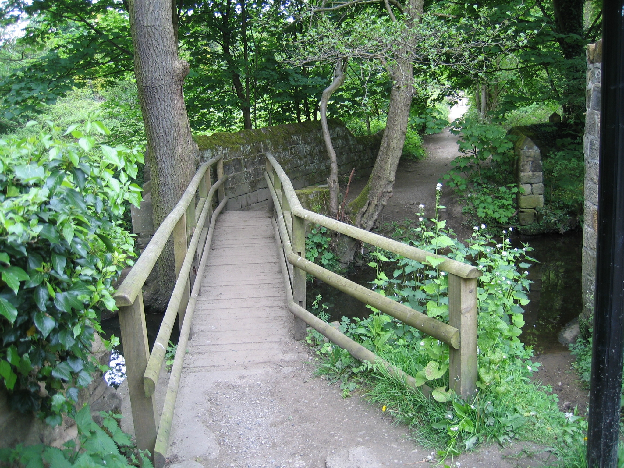
Meanwood Valley Trail - bridge over Meanwood Beck 02.jpg - Chemical Engineer

Leeds (33), September 2009.JPG - Ardfern

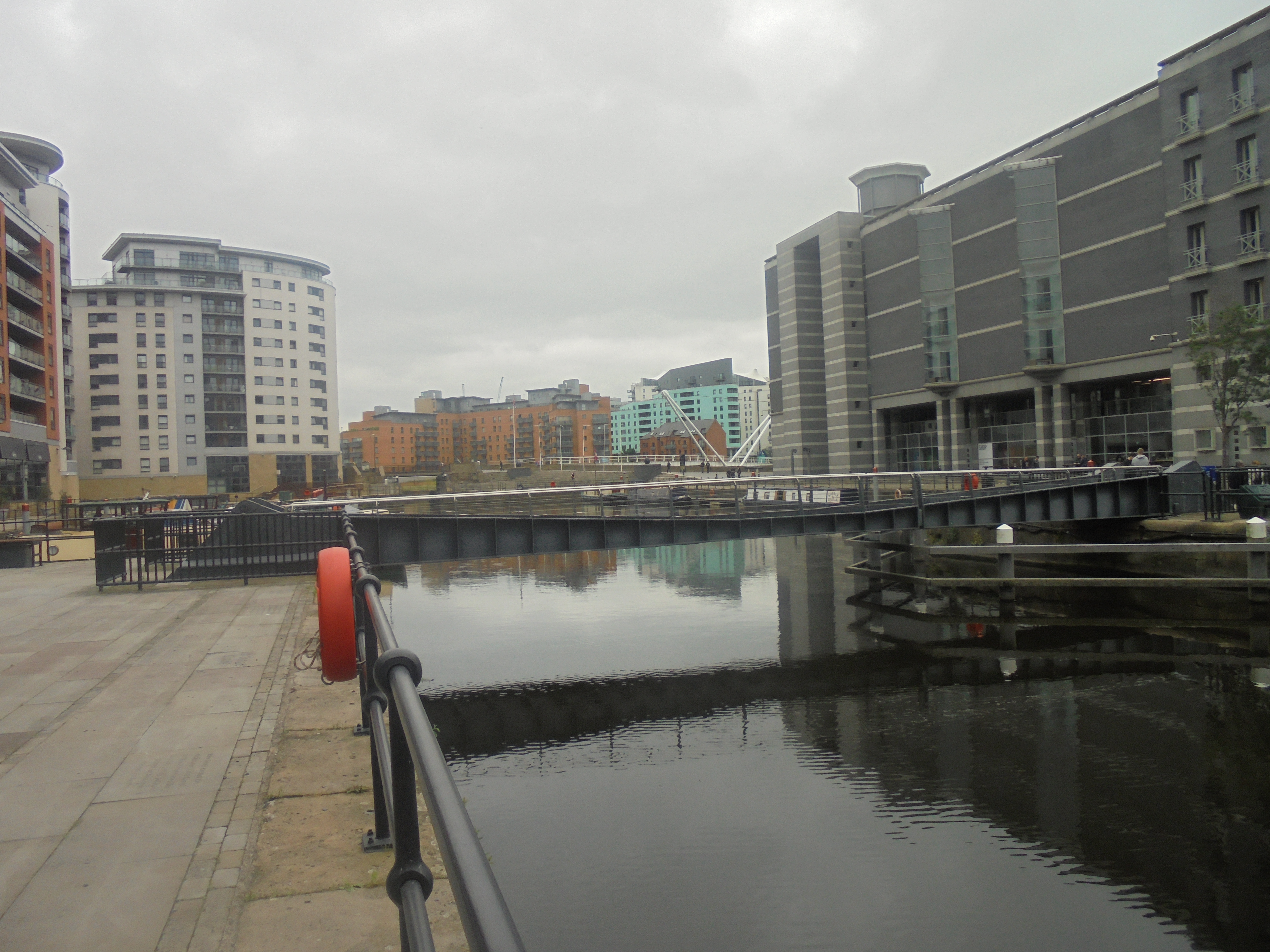
Granary Wharf, Leeds - DSC07519.JPG - Green Lane

Bridge onto the dam, Golden Acre Park Lake - geograph.org.uk - 259532.jpg - GeographBot

Footbridge over River Aire - geograph.org.uk - 260266.jpg - GeographBot

Footbridge over Cock Beck - geograph.org.uk - 278174.jpg - GeographBot

Footbridge over Kirkstall Forge Goit - geograph.org.uk - 382718.jpg - GeographBot

Bridge to Sandmoor Golf Course - geograph.org.uk - 394622.jpg - GeographBot

The Footbridge near Lemonroyd Marina - geograph.org.uk - 461424.jpg - GeographBot

Stone Footbridge in Adel Woods - geograph.org.uk - 493958.jpg - GeographBot

Footbridge DOL2-29 over Railway - Thirlmere Gardens - geograph.org.uk - 627467.jpg - GeographBot

Footbridge over A6120 - Dawson's Corner - geograph.org.uk - 684258.jpg - GeographBot

Footbridge over York Road - geograph.org.uk - 683804.jpg - GeographBot

Footbridge over Gelderd Road - geograph.org.uk - 780750.jpg - GeographBot

Bridge over Pudsey Beck, Keeper Lane - geograph.org.uk - 943566.jpg - Rotatebot

Footbridge over Meanwood Beck - near Highbury Mount - geograph.org.uk - 1137961.jpg - GeographBot

M62 westbound Dolphin Lane footbridge - geograph.org.uk - 1324069.jpg - GeographBot

The Dark Arches under Leeds Railway Station - geograph.org.uk - 1619294.jpg - GeographBot

Milford Place Footbridge - geograph.org.uk - 1727700.jpg - GeographBot

Irene Manton building seen across the bridge from the Garstang Wing, University of Leeds (5th December 2014).JPG - Mtaylor848

Station Forecourt - off Station Lane (geograph 4504440).jpg - Mtaylor848

The Ravine, Roundhay Park (4704598446).jpg - INeverCry

York Road Harehills footbridge 16 August 2017.jpg - Chemical Engineer

York Road Harehills Lane 16 August 2017.jpg - Chemical Engineer
Leeds Dock (8th June 2018) 002.jpg - Mtaylor848

Footbridge over the Wyke Beck (geograph 5834167).jpg - Mtaylor848

Armley Park, Stanningley Road, Leeds (34989907896).jpg - Sic19

Leeds (34002487060).jpg - Sic19

Kirkstall Forge. Leeds (34394180212).jpg - Sic19

Kirkstall Forge. Leeds (34169419350).jpg - Sic19

Kirkstall Forge. Leeds (34555127605).jpg - Sic19

A stone footbridge in Meanwood Park, Leeds - geograph.org.uk - 2093861.jpg - GeographBot

A footbridge over the A64, York Road, Leeds - geograph.org.uk - 2117183.jpg - GeographBot

A footbridge over the A64, New York Road - geograph.org.uk - 2118375.jpg - GeographBot

A footbridge over the M621, Leeds - geograph.org.uk - 2120400.jpg - GeographBot

Bridge for Bridlepath - geograph.org.uk - 2783792.jpg - GeographBot

Bridge at dam head, Golden Acre Park - geograph.org.uk - 2783793.jpg - GeographBot

Footbridge, roads and buildings, Leeds - geograph.org.uk - 2935527.jpg - GeographBot

Footbridge, Burley - geograph.org.uk - 2935695.jpg - GeographBot

Footbridge over Railway line - Creskell Road - geograph.org.uk - 3081969.jpg - GeographBot

Footbridge - Ring Road, Moortown - geograph.org.uk - 3171431.jpg - GeographBot

Footbridge near the ring road - geograph.org.uk - 3357101.jpg - SteinsplitterBot

Footbridge over Road - viewed from St Mary's Street - geograph.org.uk - 3474207.jpg - GeographBot

Bridge over a beck, Temple Newsam golf course - geograph.org.uk - 3823306.jpg - GeographBot

Footbridge over the M621, Leeds - geograph.org.uk - 3858455.jpg - GeographBot

A bridge across Harrogate Line in Leeds.jpg - Onthewings

Footbridge seen from the Harrogate Line - geograph.org.uk - 4206040.jpg - GeographBot

Footbridge over the A647 and railway - geograph.org.uk - 4206042.jpg - GeographBot

Bridge over the motorway east of Belle Isle - geograph.org.uk - 4280722.jpg - GeographBot

Stone Footbridge over Great Heads Beck - geograph.org.uk - 4327760.jpg - GeographBot

Entrance to Skelton Wood - from Naburn Approach - geograph.org.uk - 4359373.jpg - GeographBot

Footbridge over Great Heads Beck - geograph.org.uk - 4412799.jpg - GeographBot

Footbridge over Great Heads Beck - geograph.org.uk - 4412810.jpg - GeographBot

Footbridge over the stream feeding Waterloo Lake, Roundhay Park, Leedfs - geograph.org.uk - 4484608.jpg - GeographBot

Footbridge at Kirkstall student residence - geograph.org.uk - 4602791.jpg - GeographBot

Footbridge over Great Heads Beck - geograph.org.uk - 4652833.jpg - GeographBot

Footbridge over the railway off Elder Road - geograph.org.uk - 4789239.jpg - GeographBot

Railway at Holbeck, looking east - geograph.org.uk - 4809187.jpg - GeographBot

Minor bridge over the Hol Beck - geograph.org.uk - 4809515.jpg - GeographBot

Footbridge beside Kirkstall Forge Railway Bridge, Leeds - geograph.org.uk - 4930367.jpg - GeographBot

Footbridge beside Kirkstall Forge Railway Bridge, Leeds - geograph.org.uk - 4930374.jpg - GeographBot

Footbridge over Wortley South Junction - geograph.org.uk - 4940219.jpg - GeographBot

GBRF Class 66 diesel 66729,"Derby County" at Kirkstall Forge - geograph.org.uk - 5089542.jpg - GeographBot

Weir and footbridge, Meanwood Beck, Leeds - geograph.org.uk - 5121697.jpg - GeographBot

Footbridge over the Meanwood Beck - geograph.org.uk - 5408824.jpg - GeographBot

Footbridge at Spring Garden's Lock No 6 - geograph.org.uk - 5490728.jpg - GeographBot

A long way up and over - geograph.org.uk - 5627565.jpg - GeographBot

Footbridge over the M621 at Elland Road - geograph.org.uk - 5629469.jpg - GeographBot

Bridge over Armley Road - geograph.org.uk - 5721043.jpg - GeographBot

Cast iron bridge over the Hol Beck - geograph.org.uk - 5741377.jpg - GeographBot

Bridge over the Wyke Beck - geograph.org.uk - 5834247.jpg - GeographBot

Footbridge on the Wykebeck Way in Fearnville Fields - geograph.org.uk - 5837588.jpg - GeographBot

Footbridge in Wykebeck Woods - geograph.org.uk - 5837717.jpg - GeographBot

Plaque on a footbridge in Wykebeck Woods - geograph.org.uk - 5837723.jpg - GeographBot

New Footbridge and Weir at Knostrop Fall - geograph.org.uk - 5977504.jpg - GeographBot

Footbridge at River Lock No 1 - geograph.org.uk - 5978138.jpg - GeographBot

Access bridge to Bridgewater Court, - geograph.org.uk - 6109834.jpg - GeographBot

Footbridge over the Meanwood Beck - geograph.org.uk - 6109854.jpg - GeographBot

Footbridge to Clarendon Road - geograph.org.uk - 6294064.jpg - GeographBot

Railway footbridge to Burley Park - geograph.org.uk - 6312704.jpg - GeographBot

Footbridge in Gledhow Valley Woods - geograph.org.uk - 6498608.jpg - GeographBot

Footbridge over the Stanningley Bypass, Hough End - geograph.org.uk - 6504579.jpg - GeographBot

Footbridge over the railway off Whitehall Road - geograph.org.uk - 6525239.jpg - GeographBot

Paved path in Scotland Wood - geograph.org.uk - 6531537.jpg - GeographBot

Footbridge across the Adel Beck at Spring Hill - geograph.org.uk - 6531650.jpg - GeographBot

Footbridge over the railway in Morris Wood - geograph.org.uk - 6546621.jpg - GeographBot

Bridge over the outlet from the upper lake, Roundhay Park - geograph.org.uk - 6585280.jpg - GeographBot

Footbridge at St Ann's Ing lock - geograph.org.uk - 6836931.jpg - GeographBot

Bridge and weir on Meanwood Beck - geograph.org.uk - 6936710.jpg - GeographBot

Stanks Lane Bridge - geograph.org.uk - 7685127.jpg - GeographBot

Blocked railway footbridge, Crow Nest Mews, Beeston - geograph.org.uk - 7848230.jpg - GeographBot

Railway south of Crow Nest Lane bridge - geograph.org.uk - 7848231.jpg - GeographBot