Wikimedi'Òc
Modes d'emploi

Cet album fait partie des albums
Cet album photos contient les sous-albums suivants :


Bridge.at.bourton.arp.jpg - Arpingstone

Slimbridge.in.july.arp.jpg - Arpingstone
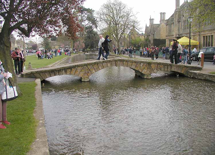
Bridge.bourton.750pix.jpg - File Upload Bot (Magnus Manske)

Gloucestershire Way crosses the M5 - geograph.org.uk - 66843.jpg - GeographBot

Sturt Bridge - geograph.org.uk - 102063.jpg - GeographBot

Can you spot the speed camera^ - geograph.org.uk - 140636.jpg - GeographBot

Replacement Footbridge - geograph.org.uk - 145417.jpg - GeographBot

The Italian Bridge, Abbey Wood - geograph.org.uk - 171718.jpg - GeographBot

Footbridge over Pool brook - geograph.org.uk - 188898.jpg - GeographBot
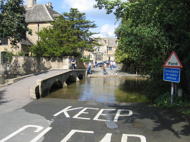
Ford, Bourton-on-the-Water - geograph.org.uk - 233869.jpg - GeographBot

Clapper bridge across the Leach.jpg - Pilch62

Bourton on the Water - geograph.org.uk - 273558.jpg - GeographBot

Footbridge over the Windrush - geograph.org.uk - 308490.jpg - GeographBot

Footpath to Red Barn - geograph.org.uk - 314023.jpg - GeographBot

Footbridge and ford - geograph.org.uk - 322758.jpg - GeographBot

Viaduct - geograph.org.uk - 376733.jpg - GeographBot

Footbridge over Great Stoke Way - geograph.org.uk - 383480.jpg - GeographBot

Footbridge over Great Stoke Way - geograph.org.uk - 383482.jpg - GeographBot

Footbridge across the stream - geograph.org.uk - 549342.jpg - GeographBot

Footbridge across M5 at Michael Wood services. - geograph.org.uk - 552850.jpg - GeographBot

Footpath bridge in Small Coombe - geograph.org.uk - 641404.jpg - GeographBot

Footbridge into the recreation ground - geograph.org.uk - 667073.jpg - GeographBot

Footbridge to car park at Gloucester Docks - geograph.org.uk - 701615.jpg - GeographBot

Bridge at Cannop Pond - geograph.org.uk - 743639.jpg - GeographBot

Footbridge on the Daffodil Way - geograph.org.uk - 768718.jpg - GeographBot
Footbridge over Cinderford Brook - geograph.org.uk - 762710.jpg - GeographBot

Path to Whittocks End crosses the Daffodil Way - geograph.org.uk - 769876.jpg - GeographBot

The Daffodil Way and Poets Paths at Dymock - geograph.org.uk - 768824.jpg - GeographBot

Footbridge on the Thames Path near Upper Mill Farm - geograph.org.uk - 774445.jpg - GeographBot

Footbridge over the spillway - geograph.org.uk - 815165.jpg - GeographBot

Footbridge on the way to Tewkesbury - geograph.org.uk - 899246.jpg - GeographBot

Footbridge below Buscot Lock - geograph.org.uk - 912871.jpg - GeographBot

Footbridge over the River Leadon - geograph.org.uk - 931587.jpg - GeographBot

Footbridge over Dillay Brook - geograph.org.uk - 962335.jpg - GeographBot

Footbridge over Gloucester Barnwood Bypass - geograph.org.uk - 1050585.jpg - GeographBot

Jubilee Bridge - geograph.org.uk - 1054688.jpg - GeographBot

Footbridge over the A40, Barnwood - geograph.org.uk - 1070097.jpg - GeographBot

Footbridge at Michael Wood Services - geograph.org.uk - 1082899.jpg - GeographBot

Footbridge on the path to Clenchers Mill - geograph.org.uk - 1087914.jpg - GeographBot

Footbridge on the Poet's Path - geograph.org.uk - 1092229.jpg - GeographBot

Footbridge over the Ludstock Brook - geograph.org.uk - 1094898.jpg - GeographBot

Footbridge to Oldfields - geograph.org.uk - 1094821.jpg - GeographBot

Honeybourne Line Cycle Path bridge - geograph.org.uk - 1122889.jpg - GeographBot

Footbridge, Thames and Severn canal. near Frampton Mansell - geograph.org.uk - 1133921.jpg - GeographBot

Footbridge over Kempley Brook - geograph.org.uk - 1211928.jpg - GeographBot

Footbridge over the brook - geograph.org.uk - 1234743.jpg - GeographBot

Footbridge over the Cannop 1 - geograph.org.uk - 1302182.jpg - GeographBot

Footbridge over the Cannop 2 - geograph.org.uk - 1302186.jpg - GeographBot

Footbridge over the Cannop 3 - geograph.org.uk - 1302195.jpg - GeographBot

Footbridge and water slide - geograph.org.uk - 1319298.jpg - GeographBot

Footbridge and ford - geograph.org.uk - 1341385.jpg - GeographBot

Footbridge over stream in garden - geograph.org.uk - 1551171.jpg - GeographBot

Footbridge over the brook - geograph.org.uk - 1562440.jpg - GeographBot

New bridge over Marbrook - geograph.org.uk - 1585240.jpg - GeographBot

Blocked footpath - geograph.org.uk - 1594966.jpg - GeographBot

Footbridge by Westley Wood - geograph.org.uk - 1597099.jpg - GeographBot

Footbridge near Brockworth - geograph.org.uk - 1608878.jpg - GeographBot

Footbridge over the M5 - geograph.org.uk - 1608865.jpg - GeographBot

Footbridge at Badgeworth - geograph.org.uk - 1610224.jpg - GeographBot

Footbridge at Brockhampton - geograph.org.uk - 1614629.jpg - GeographBot

Footbridge in Andoversford - geograph.org.uk - 1615431.jpg - GeographBot

Footbridge on the footpath - geograph.org.uk - 1638523.jpg - GeographBot

Footbridge over the Cannop Brook - winter - geograph.org.uk - 1630511.jpg - GeographBot

Long bridge - geograph.org.uk - 1635502.jpg - GeographBot

Ornamental footbridge - geograph.org.uk - 1652350.jpg - GeographBot

Footbridge interior at Michaelwood services, M5 - geograph.org.uk - 1700631.jpg - GeographBot

Footbridge, Bledington Village Green - geograph.org.uk - 1724321.jpg - GeographBot

Footbridge, Newent - geograph.org.uk - 1726865.jpg - GeographBot

Wooden footbridge west of St Augustine's Farm - geograph.org.uk - 1800266.jpg - GeographBot

Windrush Walk.jpg - Saffron Blaze

Footbridge to car park at Gloucester - geograph org uk - 701615.jpg - Seth Whales
Gloucester, an old footbridge.jpg - Seth Whales

... footbridge between Frome and Stroudwater, with Ebley Mill chimney. - Flickr - BazzaDaRambler.jpg - Ultra7

Chipping Sodbury MMB 01 South Wales Main Line.jpg - Mattbuck

Patchway railway station MMB 14.jpg - Mattbuck

Patchway railway station MMB 30 153329 153399.jpg - Mattbuck

Patchway railway station MMB 31 150120.jpg - Mattbuck

M5 Michaelwood Services MMB 01.jpg - Mattbuck

Footbridge over Warmley Brook. - panoramio.jpg - Panoramio upload bot

River Avon in Tewkesbury (4453).jpg - KTC

Footbridge over the Avon, Tewkesbury.jpg - Philafrenzy

Footbridge adjacent to road bridge, Ham, Berkeley (geograph 2293931).jpg - Worm That Turned

Siston Hill Footbridge. - panoramio.jpg - Panoramio upload bot

Footbridge Berkerley - panoramio.jpg - Panoramio upload bot

Bridge at Redbrook - panoramio.jpg - Panoramio upload bot

Stagecoach Stroud 16128.jpg - Cameron289

Part of Slimbridge Wetland Centre, Gloucestershire, England, from the obs tower 22May2019 arp.jpg - Arpingstone

2019 at Wickwar aqueduct (1).JPG - Geof Sheppard

2019 at Wickwar aqueduct (2).JPG - Geof Sheppard

2019 at Wickwar aqueduct (3).JPG - Geof Sheppard

Footbridge, St Mary's Halt, Lydney - geograph.org.uk - 1944315.jpg - GeographBot

Footbridge over the River Churn - geograph.org.uk - 2897799.jpg - GeographBot

Footbridge over the Thames Severn canal - geograph.org.uk - 2975311.jpg - GeographBot

The Cotswold Way crosses a stream near Jenkin's Farm - geograph.org.uk - 3443001.jpg - GeographBot
Smaller bridge by Arlington Row, Bibury.jpg - Dave.Dunford

Iron Bridge - geograph.org.uk - 4517965.jpg - GeographBot

Footbridge on former railway line - geograph.org.uk - 4805308.jpg - GeographBot

Footbridge on former railway - geograph.org.uk - 4805309.jpg - GeographBot

Bridge to Bickley Farm - geograph.org.uk - 5287438.jpg - GeographBot

Might come in handy - geograph.org.uk - 5287445.jpg - GeographBot

Foot bridge over Horsbere Brook, Brocworth.jpg - DIaNyf8q