Wikimedi'Òc
Modes d'emploi

Cet album fait partie des albums
Cet album photos contient les sous-albums suivants :


USACE sediment retention structure Toutle River.jpg - DanMS

Wenatchee River west of Leavenworth, WA 02.jpg - Jmabel

Elwha River - Humes Ranch Area2.JPG - Sylfred1977

Upriver on Skykomish North Fork from Index, WA.jpg - Jmabel

Nooksack Headwaters 2010.JPG - File Upload Bot (Magnus Manske)

Carbon River 0322.JPG - Wsiegmund

Carbon River 0350.JPG - Wsiegmund

Carbon River 0544.JPG - Wsiegmund

Mount Rainier from Nisqually River near Cougar Rock campground 02.jpg - Jmabel

Quinault River - Lake Quinault.jpg - MrPanyGoff
Suiattle River at Triad Creek trailhead.jpg - Cugel26

Nisqually River pano 01.jpg - Jmabel

Mount Rainier National Park, Washington (22693354723).jpg - INeverCry

Queets River, Washington - panoramio.jpg - Panoramio upload bot

Microbiote pionniers journal PLOS2016-0155979.g001cc-by-sa.png - Lamiot

Index, WA - upstream on North Fork Skykomish River from Wes Smith Bridge - 01.jpg - Jmabel

Index, WA - upstream on North Fork Skykomish River from Wes Smith Bridge - 02.jpg - Jmabel

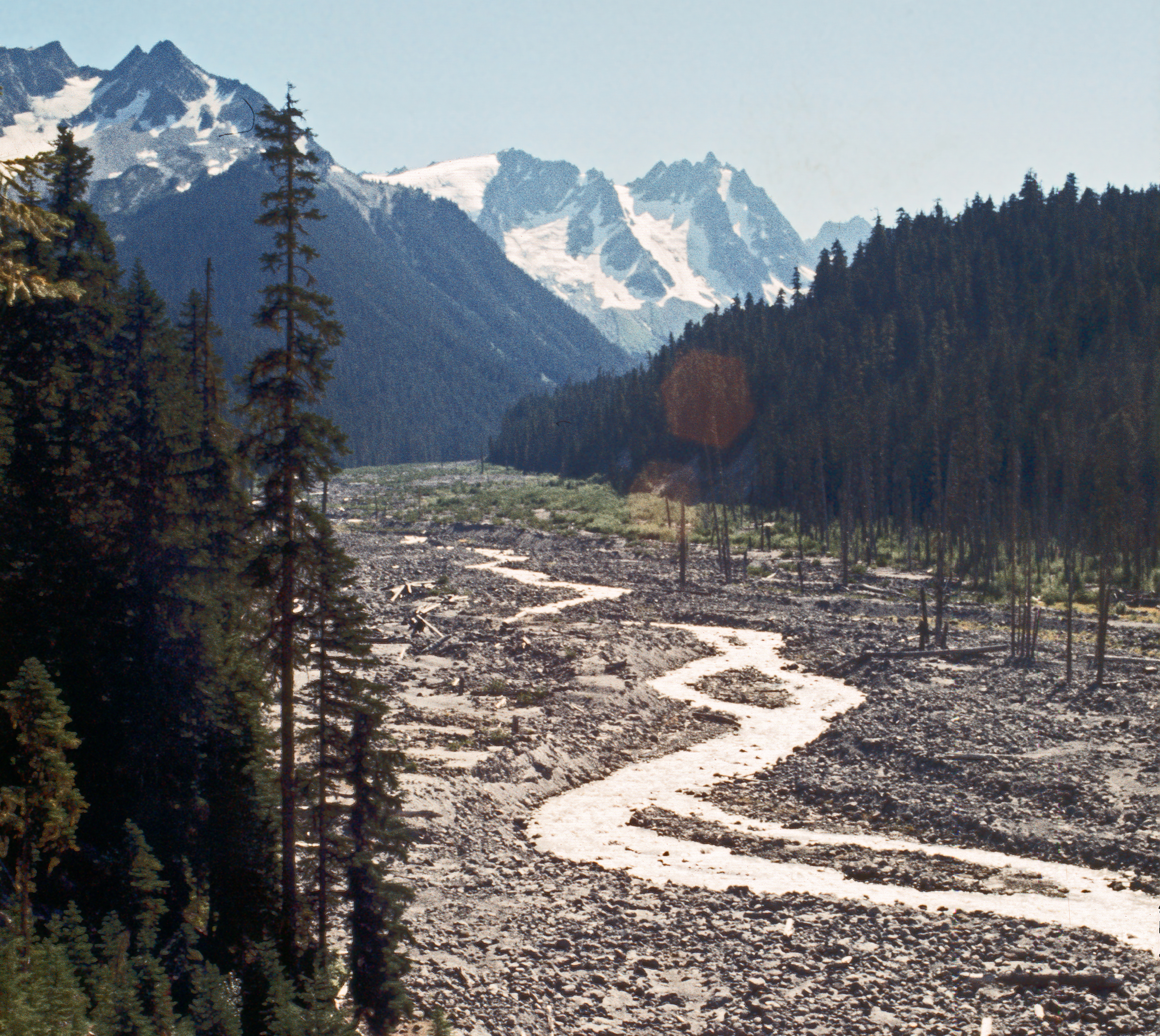
Tahoma Creek floodplain - 48481986977.jpg - Killarnee

Tahoma Creek floodplain - 48481987187.jpg - Killarnee
Flood hazard analyses, Salzer-Coal Creeks, Lewis County, Wash. (IA CAT75663866).pdf - Fæ
Flood plain management study - City of Chewelah, Stevens County, Washington (IA CAT83786261).pdf - Fæ