Wikimedi'Òc
Modes d'emploi

Cet album fait partie des albums
Cet album photos contient les sous-albums suivants :


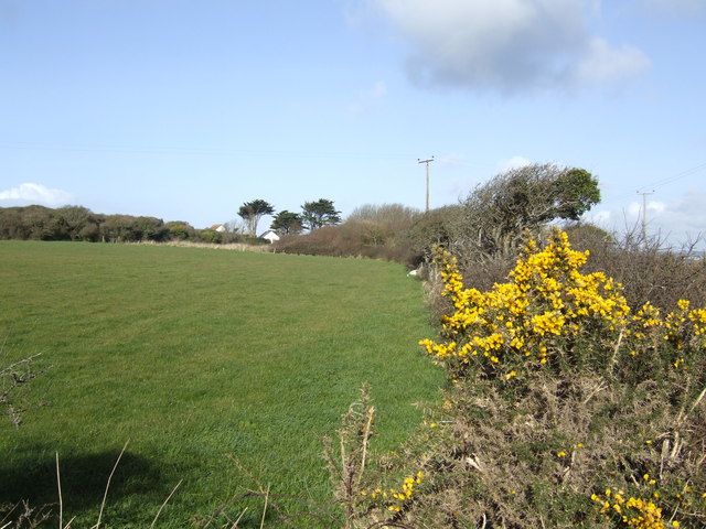
Gorse in bloom at Meaver - geograph.org.uk - 367259.jpg - GeographBot

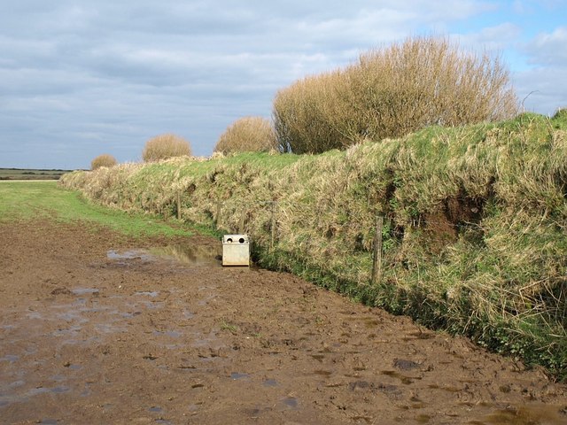
Gorse hedge - geograph.org.uk - 418446.jpg - GeographBot

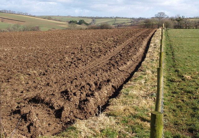
Land ready for potatoes - geograph.org.uk - 418445.jpg - GeographBot

Field boundary near Nethercott - geograph.org.uk - 681960.jpg - GeographBot

Hedgerow with abandoned bike. - geograph.org.uk - 689407.jpg - GeographBot

Pastures east of Moorgate Farm - geograph.org.uk - 689757.jpg - GeographBot

Beech woodland near east Balsdon - geograph.org.uk - 697870.jpg - GeographBot

Field boundary near Trevendick - geograph.org.uk - 699864.jpg - GeographBot

Hedge and trees near Laneast - geograph.org.uk - 699971.jpg - GeographBot

Field boundary near Lord's Park Farm - geograph.org.uk - 708160.jpg - GeographBot

Field boundary on Tregeare Down - geograph.org.uk - 718981.jpg - GeographBot

Badgall Downs - geograph.org.uk - 720460.jpg - GeographBot
Bank on Waterpit Down - geograph.org.uk - 730643.jpg - GeographBot

Field boundary near Hendraburnick - geograph.org.uk - 733261.jpg - GeographBot

Boundary wall on clifftop heathland - geograph.org.uk - 850803.jpg - GeographBot

Cairn and field boundary at Tredinney - geograph.org.uk - 1017322.jpg - GeographBot

Ancient stone field boundary on the slopes of Tendrine Hill - geograph.org.uk - 1107767.jpg - GeographBot

Cornish Hedge - geograph.org.uk - 1201436.jpg - GeographBot

East Cornwall Countryside - geograph.org.uk - 1242816.jpg - GeographBot

Field boundary - geograph.org.uk - 1409978.jpg - GeographBot

Boundary wall corner on Hardhead Downs - geograph.org.uk - 1544265.jpg - GeographBot
Ploughed field and fence, Trewarlett - geograph.org.uk - 1732110.jpg - GeographBot

Ploughed field and hedge, Trewarlett - geograph.org.uk - 1732130.jpg - GeographBot