Wikimedi'Òc
Modes d'emploi

Cet album fait partie des albums
Cet album photos contient les sous-albums suivants :


Woldham Church - 'Page Notes on the churches in the counties of Kent, Sussex, and Surrey djvu 211 - Wikisource'.png - Billinghurst

Paradise Farm, Lower Hartlip - geograph.org.uk - 122660.jpg - GeographBot

Fence graveyard - geograph.org.uk - 179036.jpg - GeographBot

Carved fence post - geograph.org.uk - 239543.jpg - GeographBot

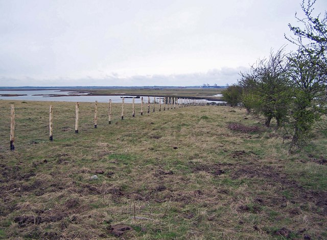
Yantlet Creek - geograph.org.uk - 326091.jpg - File Upload Bot (Magnus Manske)

Woldham Church.jpg - Billinghurst

Sissinghurst projecting chimney.jpg - Das steinerne Herz

St Augustine, Snave, Kent - Tower - geograph.org.uk - 322933.jpg - GeographBot

Martin's Nursery, Poison Cross - geograph.org.uk - 333764.jpg - GeographBot

Not The Footpath to the Cliffs - geograph.org.uk - 389404.jpg - GeographBot

Gates and fences - geograph.org.uk - 395443.jpg - GeographBot

Stile for Horses - geograph.org.uk - 403957.jpg - GeographBot

Sheep grazing near Crundale - geograph.org.uk - 418033.jpg - GeographBot

Tower Gardens, Herne Bay - geograph.org.uk - 502978.jpg - GeographBot

Nature getting its own back - geograph.org.uk - 637891.jpg - GeographBot

St John's Church, Groombridge - geograph.org.uk - 656789.jpg - GeographBot

Footpath over Rushenden Hill - geograph.org.uk - 719234.jpg - GeographBot
Brand new fence - geograph.org.uk - 735963.jpg - GeographBot

View across the fields from the car park of Richborough Castle - geograph.org.uk - 744512.jpg - GeographBot

Footpath to Stump Shave - geograph.org.uk - 786039.jpg - GeographBot

Footpath to Blackwall Lane - geograph.org.uk - 796218.jpg - GeographBot

The grounds of Ratling Court Clinic - geograph.org.uk - 852092.jpg - GeographBot

Field boundary with lane - geograph.org.uk - 867819.jpg - GeographBot

The Catholic Church of the English Martyrs, Strood - geograph.org.uk - 1053668.jpg - GeographBot
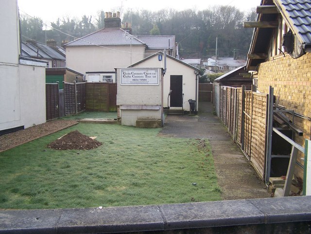
Cuxton Community Church - geograph.org.uk - 1080480.jpg - GeographBot

Footpath beside the railway - geograph.org.uk - 1136311.jpg - GeographBot

View NW along railway line in direction of Adisham - geograph.org.uk - 1136319.jpg - GeographBot

Tyler Hill fishery - geograph.org.uk - 1144610.jpg - GeographBot

Stile into Woodland - geograph.org.uk - 1155201.jpg - GeographBot

Footpath past Whitehall House - geograph.org.uk - 1165421.jpg - GeographBot

Footpath along the edge of Brokes Wood (4) - geograph.org.uk - 1243585.jpg - GeographBot

Footpath along the edge of Brokes Wood (5) - geograph.org.uk - 1243598.jpg - GeographBot

St Luke's Church, Chiddingstone Causeway - geograph.org.uk - 1263763.jpg - GeographBot

Cow on Chart Avenue - geograph.org.uk - 1272634.jpg - GeographBot

Lych Gate, Bidborough Church - geograph.org.uk - 1275945.jpg - GeographBot

Bench around tree in St Thomas Churchyard - geograph.org.uk - 1286955.jpg - GeographBot

Unclassified Road, Harty - geograph.org.uk - 1286964.jpg - GeographBot
Closed footpath near Clearhedges Wood - geograph.org.uk - 1293030.jpg - GeographBot

Single tree by the footpath to Meopham Bank - geograph.org.uk - 1312132.jpg - GeographBot

The Gospel Hall, Hildenborough - geograph.org.uk - 1313073.jpg - GeographBot

Gillingham, postbox No. ME7 45, Railway Street - geograph.org.uk - 1331550.jpg - GeographBot

Harty, a barn in semi-silhouette - geograph.org.uk - 1333334.jpg - GeographBot

Harty, field over fence - geograph.org.uk - 1333385.jpg - GeographBot

Footpath near Amberley Close - geograph.org.uk - 1344841.jpg - GeographBot

Footpath south of Postern Lane - geograph.org.uk - 1356439.jpg - GeographBot

A grassy meadow - geograph.org.uk - 1371626.jpg - GeographBot

Footpath to Little Hungerden Farm - geograph.org.uk - 1389442.jpg - GeographBot

Cattle, Hawden Farm - geograph.org.uk - 1392042.jpg - GeographBot

Farm Track and Fence - geograph.org.uk - 1399384.jpg - GeographBot

The Church in the "Kent" part of Groombridge - geograph.org.uk - 1493305.jpg - GeographBot

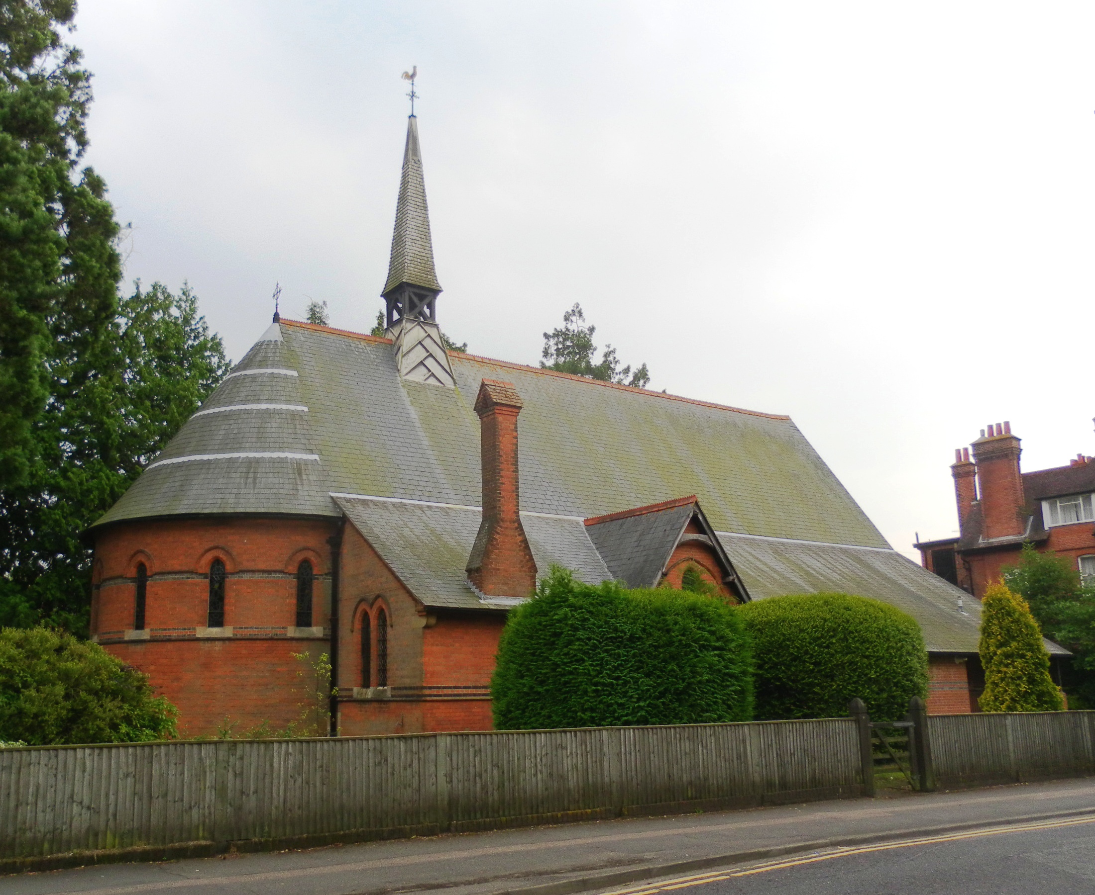
St Paul's Church Centre on Rusthall High St - geograph.org.uk - 1548022.jpg - GeographBot

Deer fence, Hoad Wood - geograph.org.uk - 1575123.jpg - GeographBot

The church, Groombridge - geograph.org.uk - 1588474.jpg - GeographBot
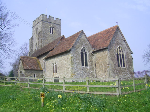
St. Mary's, Stone in Oxney, Kent - geograph.org.uk - 1605040.jpg - GeographBot

St. John the Baptist, Smallhythe, Kent - geograph.org.uk - 1640811.jpg - GeographBot

Perimeter fence, Sheerness Dockyard - geograph.org.uk - 1805774.jpg - GeographBot

Providence Chapel, Stone Street, Cranbrook, Kent - geograph.org.uk - 1806341.jpg - GeographBot

Ctrl-testing-Lenham.jpg - Flickr upload bot

St Paul's Church Centre, Rusthall High Street, Rusthall.JPG - Hassocks5489
St Saviour's Church, Tonbridge.JPG - Hassocks5489

All Saints Church, Birling (Geograph Image 2325232 63964cf0).jpg - Hassocks5489

St Augustine's Church, Brookland ED 08.JPG - Edgepedia

St James Egerton Geograph-2726871-by-Oast-House-Archive.jpg - Dave.Dunford

Back lane at north of Barfrestone church Kent England.jpg - Acabashi

Back lane north of Barfrestone church Kent England.jpg - Acabashi

Church of St Peters tower works at the north Broadstairs St Peters Kent England.jpg - Acabashi

Church of St Peters tower works at the south Broadstairs St Peters Kent England.jpg - Acabashi

Church Street pub Broadstairs St Peters Kent England 1.jpg - Acabashi

Border and fence Goodnestone Dover Kent England.jpg - Acabashi

Brick cottages Goodnestone Dover Kent England 1.jpg - Acabashi

Brick cottages Goodnestone Dover Kent England 2.jpg - Acabashi

Brick house Goodnestone Dover Kent England 1.jpg - Acabashi

Brick house hollyhocks Goodnestone Dover Kent England.jpg - Acabashi

Aylesham August field Kent England field looking northwest 01.jpg - Acabashi

Greatstone (18959092455).jpg - Andrewrabbott

Barn entrance gate at Easole Street, Nonington, Kent, England.jpg - Acabashi

Field gate and fence at Monkton Kent England.jpg - Acabashi

Dickens House Broadstairs Kent England.jpg - Acabashi

A fence and hedgerow on Santon Lane at Stourmouth Kent England.jpg - Acabashi

All Saint's Church Chillenden Kent England - churchyard fenced tomb.jpg - Acabashi

All Saints' Church Chillenden Kent England - churchyard fence planter.jpg - Acabashi

Church of St Peter and St Paul Upper Hardres Kent England - table tomb fenced.jpg - Acabashi

Bridge entrance to the Dog and Duck pub from the River Stour at Plucks Gutter Kent England.jpg - Acabashi

Whitstable URC in sunshine.png - Macroseiris

Victoria Parade, Broadstairs, Kent - apartment house balconies.jpg - Acabashi

Okee Dokee Band at Broadstairs Folk Week 2017, Kent, England 4.jpg - Acabashi

Okee Dokee Band at Broadstairs Folk Week 2017, Kent, England 5.jpg - Acabashi
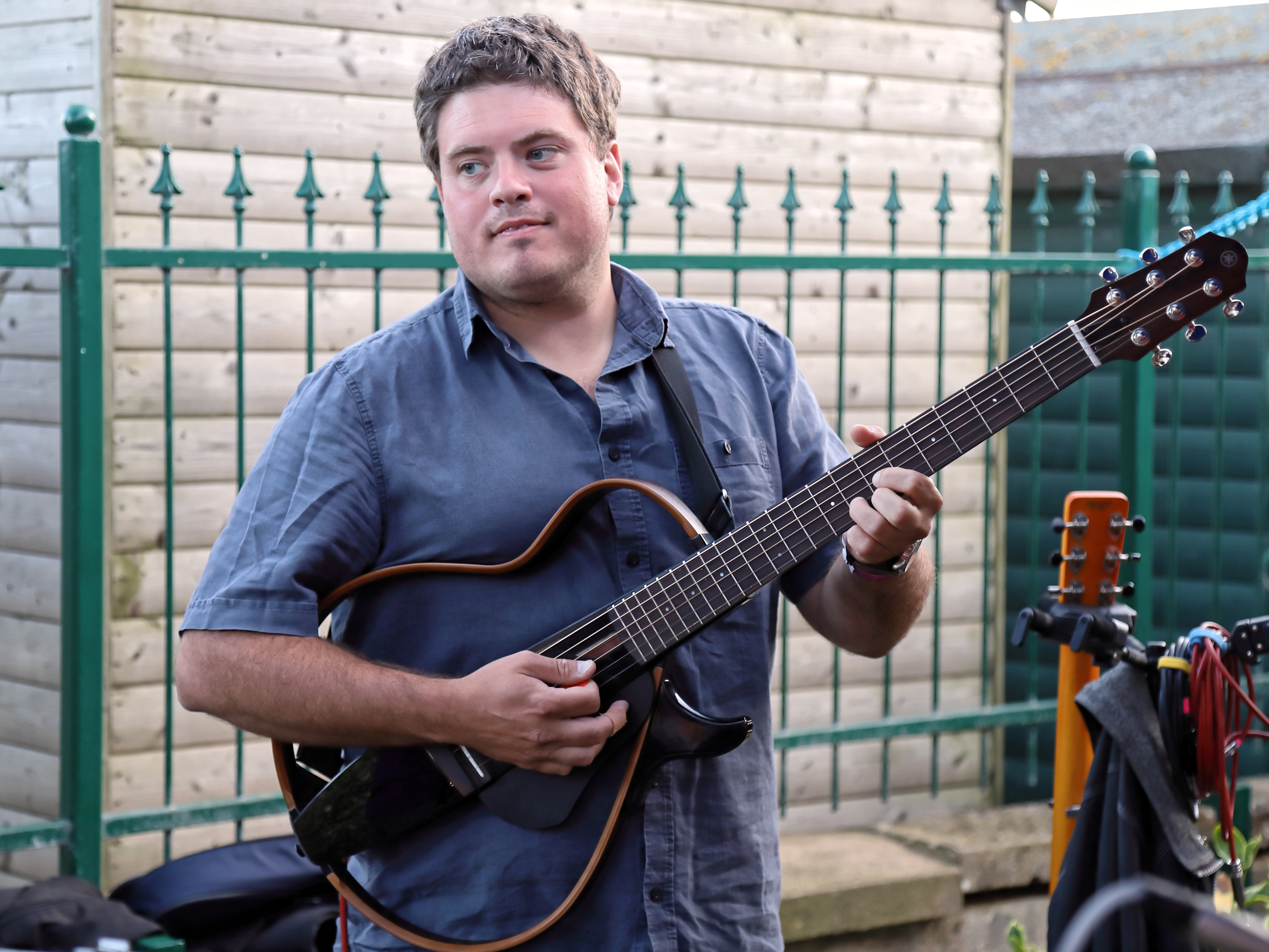
Yamaha SLG200S Silent Guitar at Broadstairs Folk Week 2017, Kent, England.jpg - Acabashi

Farthing Gate cottages at Eastry, Kent, England.jpg - Acabashi

The Dairy or The Old Bakery at Denton, near Canterbury, Kent.jpg - Acabashi

Tappington Hall 01, near Canterbury, Kent, England.jpg - Acabashi

Tappington Hall 02, near Canterbury, Kent, England.jpg - Acabashi

Tappington Hall 03, near Canterbury, Kent, England.jpg - Acabashi

Sandwich Town CC v. MCC at Sandwich, Kent, England 128.jpg - Acabashi

Sandwich Town CC v. MCC at Sandwich, Kent, England 135.jpg - Acabashi

Sandwich Town CC v. MCC at Sandwich, Kent, England 134.jpg - Acabashi

Sandwich Town CC v. MCC at Sandwich, Kent, England 136.jpg - Acabashi
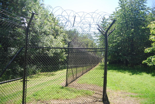
Boundary Fence, Fort Halstead.jpg - Lumos3

Boundary fence, Fort Halstead - geograph.org.uk - 2573270.jpg - GeographBot

Boundary Fence, Fort Halstead - geograph.org.uk - 2654337.jpg - GeographBot

Boundary Fence, Fort Halstead - geograph.org.uk - 2654343.jpg - GeographBot