Wikimedi'Òc
Modes d'emploi

Cet album fait partie des albums
Cet album photos contient les sous-albums suivants :


Stamford Bridge 04.JPG - Niki K

NorthallertonRailwayStation.jpg - Adambro

Pavilion House, Scarborough.jpg - Bencherlite
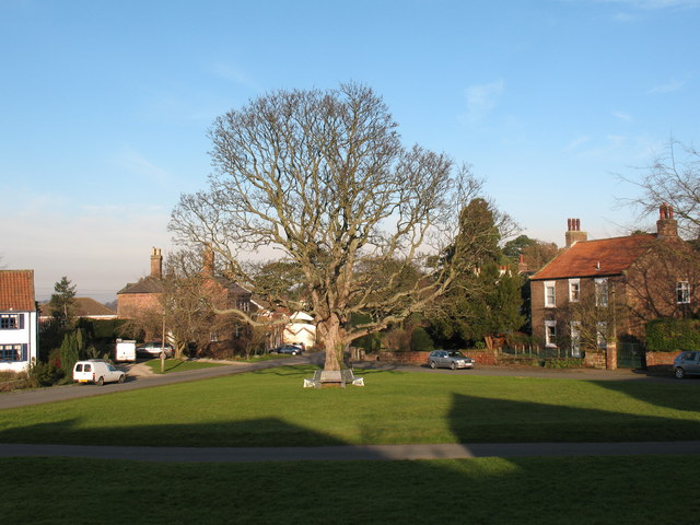
Village Green Aldborough.jpg - Angusmclellan

Kirkbymoorside.jpg - Cyberdemon007
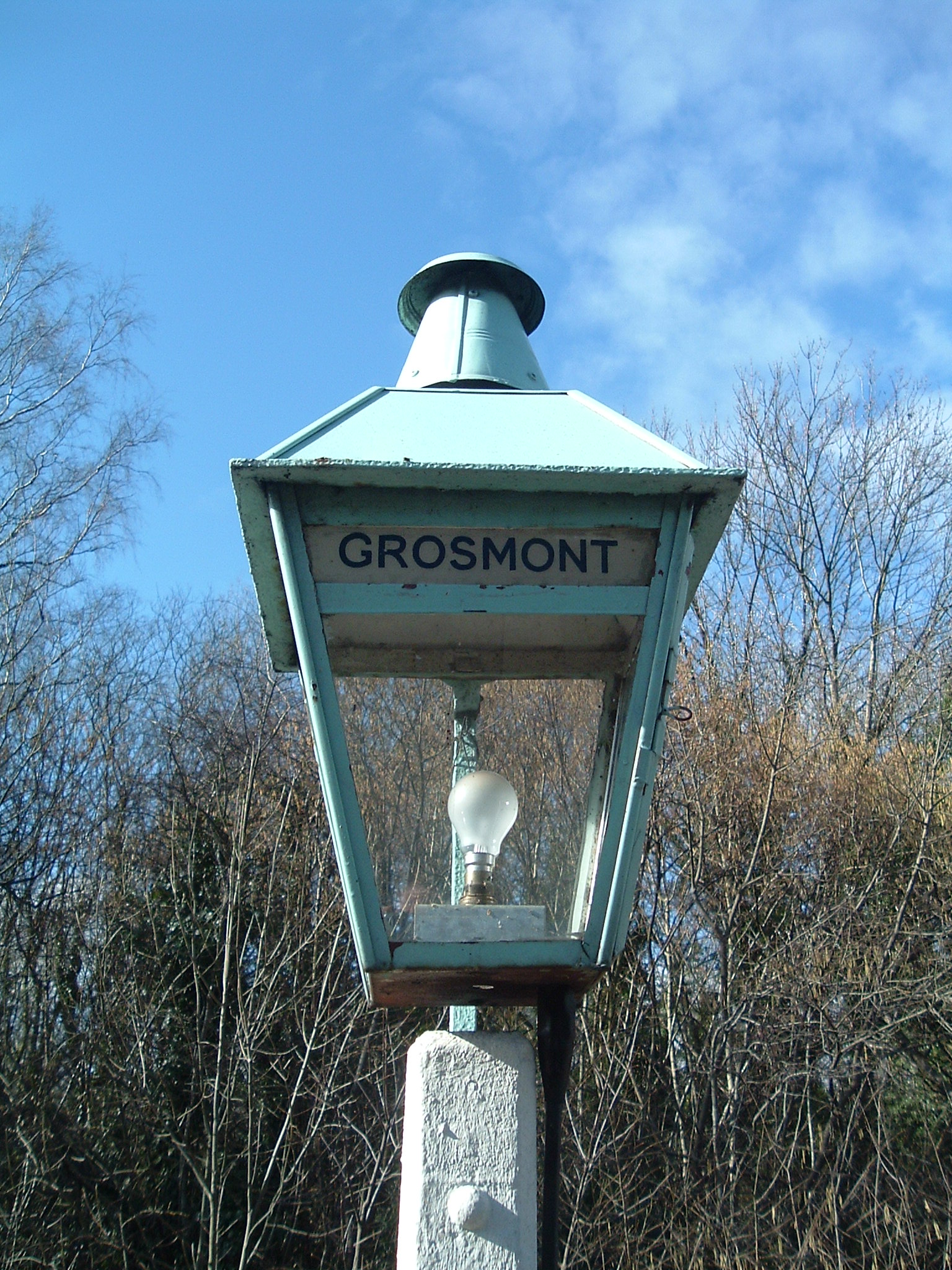
Grosmont Lamp.jpg - File Upload Bot (Magnus Manske)

Arable field near Bickerton - geograph.org.uk - 326195.jpg - GeographBot

Crops under Water near Rolling Bridge - geograph.org.uk - 326904.jpg - GeographBot

Dishforth Drinkers Dilemma - geograph.org.uk - 328426.jpg - GeographBot

Farmland with mature trees at Feedale Farm - geograph.org.uk - 327913.jpg - GeographBot

Old railway hut by former level crossing at Coxwold. - geograph.org.uk - 326916.jpg - GeographBot

Patterned wall in Sharow - geograph.org.uk - 327905.jpg - GeographBot

Remains of Hutton Railway Station - geograph.org.uk - 329577.jpg - GeographBot

Roadside Hedge near Bickerton - geograph.org.uk - 326184.jpg - GeographBot

Skelton Industrial Estate - geograph.org.uk - 327964.jpg - GeographBot

Blackdale Howl - geograph.org.uk - 331640.jpg - GeographBot

Cart Track, Hawsker Bottoms - geograph.org.uk - 339309.jpg - GeographBot

Cattersty Sands, High Tide - geograph.org.uk - 337861.jpg - GeographBot

Cross and Castle at Snape - geograph.org.uk - 330997.jpg - GeographBot

Evening View Across the Square - geograph.org.uk - 339299.jpg - GeographBot

Fields East of Brotton - geograph.org.uk - 337748.jpg - GeographBot

Fields between Swainby Farms and the A1 - geograph.org.uk - 338201.jpg - GeographBot

Fishing Cobles - geograph.org.uk - 337687.jpg - GeographBot

Hern Head House in Troutsdale - geograph.org.uk - 337423.jpg - GeographBot

High Lions Lodge can be seen in the distance - geograph.org.uk - 331947.jpg - GeographBot

King's Beck - geograph.org.uk - 339448.jpg - GeographBot

Malton Bypass - geograph.org.uk - 332071.jpg - GeographBot

Public Footpath Junction, Oakham Beck - geograph.org.uk - 339437.jpg - GeographBot

Railway bridge - geograph.org.uk - 338838.jpg - GeographBot

Sheep Grazing Near Wath Beck - geograph.org.uk - 333348.jpg - GeographBot

Sheep Pasture, Bottom House - geograph.org.uk - 339432.jpg - GeographBot

Swainby Grove Farm - geograph.org.uk - 338192.jpg - GeographBot

Track down towards Oxdale - geograph.org.uk - 337366.jpg - GeographBot

View across Little Stubby Head - geograph.org.uk - 337404.jpg - GeographBot

View across forestry to Stubby Head - geograph.org.uk - 337407.jpg - GeographBot

View from Sandy Lane towards Redcar - geograph.org.uk - 330655.jpg - GeographBot

View to Roseberry Topping - geograph.org.uk - 330695.jpg - GeographBot

A Varied Diet - geograph.org.uk - 348534.jpg - GeographBot

Acre House From the North - geograph.org.uk - 349003.jpg - GeographBot

Bay Fisheries - geograph.org.uk - 343134.jpg - GeographBot

Birch Wood, Sutton on the Forest parish. - geograph.org.uk - 348526.jpg - GeographBot

Bridge over Winterscales Beck at Ivescar. - geograph.org.uk - 348026.jpg - GeographBot

Cleveland Way - geograph.org.uk - 343137.jpg - GeographBot

Coast Guard Lookout, Ness Point - geograph.org.uk - 343130.jpg - GeographBot

Drystone Wall and Stile beneath Combe Scar. - geograph.org.uk - 348017.jpg - GeographBot

Drystone Wall with Moss at Bruntscar. - geograph.org.uk - 348085.jpg - GeographBot

Field, Hood Grange - geograph.org.uk - 349009.jpg - GeographBot

In The Flat Field - geograph.org.uk - 347053.jpg - GeographBot

Kirkbymoorside (Kirby Moorside) Station from Ings Lane - geograph.org.uk - 340387.jpg - GeographBot

Low Carr Farm - geograph.org.uk - 348511.jpg - GeographBot

Low Carr Wood - geograph.org.uk - 348503.jpg - GeographBot

Mother and Calf at Gunnerfleet Farm. - geograph.org.uk - 347969.jpg - GeographBot

Moughton wall junction - geograph.org.uk - 341392.jpg - GeographBot

Public Footpath Roxby to Park House - geograph.org.uk - 346510.jpg - GeographBot

Public Inconvenience - Closed public toilets in Scarborough - geograph.org.uk - 342063.jpg - GeographBot

Road bridge over Yarna Beck near Langdale End - geograph.org.uk - 343686.jpg - GeographBot

Rough pasture with gate and stile - geograph.org.uk - 344360.jpg - GeographBot

Sheep Graze Caravan Park - geograph.org.uk - 341003.jpg - GeographBot

Terrington School playing fields - geograph.org.uk - 348746.jpg - GeographBot

The Bay Horse Pub, Barlby - geograph.org.uk - 343462.jpg - GeographBot

The Laurel Inn - geograph.org.uk - 342753.jpg - GeographBot

The New Inn , Barlby - geograph.org.uk - 343470.jpg - GeographBot

The Village Street, Folkton - geograph.org.uk - 345098.jpg - GeographBot

Trees around old pond site - geograph.org.uk - 348521.jpg - GeographBot

Whernside Summit. - geograph.org.uk - 347990.jpg - GeographBot

Waterlogged Field, Baysdale - geograph.org.uk - 350186.jpg - GeographBot

Barn, Rock Head Farm - geograph.org.uk - 401809.jpg - GeographBot

Fountains Abbey - Winter vista - geograph.org.uk - 445117.jpg - GeographBot

Fountains Abbey - in the distance - geograph.org.uk - 445126.jpg - GeographBot

Fountains Abbey -winter view - geograph.org.uk - 445122.jpg - GeographBot

Weir at Studley Royal - geograph.org.uk - 445107.jpg - GeographBot

Ex LMS 8F 48151 at Colton Junction near York - geograph.org.uk - 457792.jpg - GeographBot
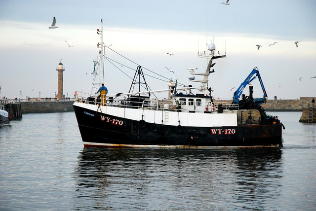
Trawler about to dock - geograph.org.uk - 497550.jpg - GeographBot

Whitby Harbour entrance - geograph.org.uk - 497536.jpg - GeographBot

Finger Post at the summit of Pen-y-ghent - geograph.org.uk - 504933.jpg - GeographBot

Brackenbottom Scar - geograph.org.uk - 583073.jpg - Geograph Update Bot

En-route to Carlisle - geograph.org.uk - 583114.jpg - Geograph Update Bot

Dawn viewed from Pen-y-ghent summit - geograph.org.uk - 694466.jpg - Geograph Update Bot

View of Ingleborough - geograph.org.uk - 1194307.jpg - GeographBot

Fields and flood bank adjacent to River Swale - geograph.org.uk - 1256542.jpg - GeographBot

Goathland Stores.jpg - Kelly

Rosedale Moor, North York Moors - geograph.org.uk - 1938097.jpg - GeographBot

Back Side, Duggleby YO17 8BN - geograph.org.uk - 3227506.jpg - GeographBot