×

Farm track off Gaddesby Lane - geograph.org.uk - 144469.jpg - GeographBot

Copse - geograph.org.uk - 235894.jpg - GeographBot

Entrance to the Turvey Farms - geograph.org.uk - 276588.jpg - GeographBot

Farm Track - geograph.org.uk - 334494.jpg - GeographBot

College Farm - geograph.org.uk - 444598.jpg - GeographBot

The track from Ramshaws Mill to Low Moralee Farm - geograph.org.uk - 487884.jpg - GeographBot

The track across Feldon Burn - geograph.org.uk - 525837.jpg - GeographBot

Escape across the A14 - geograph.org.uk - 539243.jpg - GeographBot

Farm Track - geograph.org.uk - 761198.jpg - GeographBot

Access to Park Farm - geograph.org.uk - 837487.jpg - GeographBot

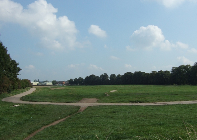
Stafford Common - geograph.org.uk - 967610.jpg - GeographBot

Entrance to Warr's Farm - geograph.org.uk - 1386088.jpg - GeographBot

Gastons Shaw - geograph.org.uk - 1427541.jpg - GeographBot

Concrete track north of East Fields Farm - geograph.org.uk - 1535841.jpg - GeographBot

Metalled farm track west of Ufton Hill Farm - geograph.org.uk - 1570027.jpg - GeographBot

New Track near Frank's Farm - geograph.org.uk - 1577573.jpg - GeographBot

Field access bridge - geograph.org.uk - 1741326.jpg - GeographBot

Turtle bridge - geograph.org.uk - 1741207.jpg - GeographBot

Ridgeway Lane, Lytes Cary.jpg - Simon Burchell

Farm track southeast of Ripley, Surrey.jpg - Simon Burchell

Farm track leading to dew pond in Oxteddle Bottom - geograph.org.uk - 2827732.jpg - GeographBot

Unmetalled track on the top of Bow Bridge, Iwood.jpg - Gricharduk

Farm track off Waterworks Lane - geograph.org.uk - 6349048.jpg - GeographBot

Path heading to Cutsdean - geograph.org.uk - 6406648.jpg - GeographBot
❮
❯


