×

Farm track - geograph.org.uk - 13009.jpg - GeographBot

Coastal Defence Bunker - geograph.org.uk - 53868.jpg - GeographBot

Common Farm - geograph.org.uk - 78113.jpg - GeographBot

Longdyke Farm - geograph.org.uk - 69388.jpg - GeographBot

Stud Farm - geograph.org.uk - 30614.jpg - GeographBot

Sandsfield Farm - geograph.org.uk - 63465.jpg - GeographBot

The Sidings - geograph.org.uk - 79343.jpg - GeographBot
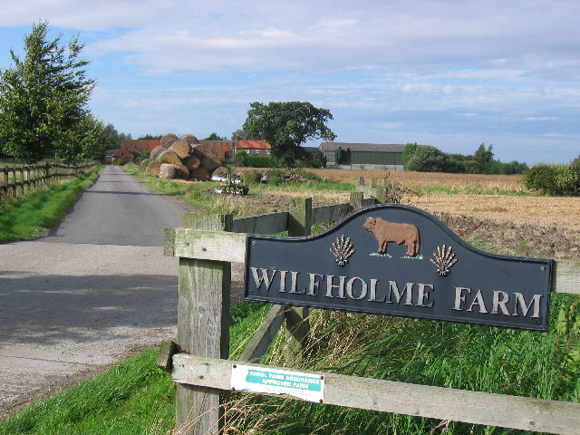
Wilfholme Farm - geograph.org.uk - 46087.jpg - GeographBot

Flower Hill Farm - geograph.org.uk - 84579.jpg - GeographBot

Gembling - Park House Farm - geograph.org.uk - 82757.jpg - GeographBot

Near Golden Hill Farm - geograph.org.uk - 82287.jpg - GeographBot

Sancton Hill Farm - geograph.org.uk - 84558.jpg - GeographBot

Woodlands Farm - geograph.org.uk - 82393.jpg - GeographBot

Brantingham Wold - geograph.org.uk - 120096.jpg - GeographBot

Grimthorpe Manor - geograph.org.uk - 125343.jpg - GeographBot

Wold House Farm - geograph.org.uk - 125352.jpg - GeographBot

East to Tibthorpe - geograph.org.uk - 110718.jpg - GeographBot

Beilsbeck Farm - geograph.org.uk - 234316.jpg - GeographBot

Field at North Carr Farm - geograph.org.uk - 234310.jpg - GeographBot

Manor Farm - geograph.org.uk - 234324.jpg - GeographBot

North Carr Farm, Hotham - geograph.org.uk - 234196.jpg - GeographBot

Sign at New Village House Farm - geograph.org.uk - 239149.jpg - GeographBot

Snake Hall Near Hotham - geograph.org.uk - 234201.jpg - GeographBot

Little Storkhill Farm.jpg - Keith D

Manor Farm Long Riston.jpg - Keith D

Bridleway to Thirkleby Wold - geograph.org.uk - 253053.jpg - GeographBot

Croome House Farm - geograph.org.uk - 253077.jpg - GeographBot

Eastend Farm, Patrington - geograph.org.uk - 294475.jpg - GeographBot

The road to Little Humber - geograph.org.uk - 295688.jpg - GeographBot

Farm Entrance - geograph.org.uk - 308340.jpg - GeographBot

Little Humber - geograph.org.uk - 306352.jpg - GeographBot

The track to Foxes Covert - geograph.org.uk - 308536.jpg - GeographBot

Bleak House Farm Cottages, Sunk Island - geograph.org.uk - 326579.jpg - GeographBot

Countryside North Of Driffield - geograph.org.uk - 352375.jpg - GeographBot

Middle Farm, Mappleton - geograph.org.uk - 456513.jpg - GeographBot

Old Hall Farm, Beverley Parks - geograph.org.uk - 486568.jpg - GeographBot

Spacey Field, Coniston - geograph.org.uk - 551283.jpg - GeographBot

The Road to Northfield Farm - geograph.org.uk - 591104.jpg - GeographBot

Provence Farm - geograph.org.uk - 629447.jpg - GeographBot

Road to Spring Park Farm - geograph.org.uk - 661095.jpg - GeographBot

Entering the Lion's Den - geograph.org.uk - 704465.jpg - GeographBot

Mill Farm, near South Cave - geograph.org.uk - 732945.jpg - GeographBot

Entrance to Low Paull Farm - geograph.org.uk - 757669.jpg - GeographBot

East End Farm, Preston - geograph.org.uk - 765477.jpg - GeographBot

Entrance to Risby Park Farm - geograph.org.uk - 800581.jpg - GeographBot

Sowby's Farm, Saltmarshe - geograph.org.uk - 859250.jpg - GeographBot

Get orff my land ^ - geograph.org.uk - 1172376.jpg - GeographBot

Track to Highfields Farm - geograph.org.uk - 1198523.jpg - GeographBot

Corporation Farm access road - geograph.org.uk - 1201251.jpg - GeographBot

Hilltop Farm, Wawne - geograph.org.uk - 1201345.jpg - GeographBot

Oaks Farm entrance, Holme-on-Spalding-Moor - geograph.org.uk - 1200783.jpg - GeographBot

Charleston Farm Entrance - geograph.org.uk - 1215500.jpg - GeographBot

Farmyard East End Farm Everthorpe - geograph.org.uk - 1216206.jpg - GeographBot

High Huntow Farm - geograph.org.uk - 1213444.jpg - GeographBot

Track to High Easton Farm - geograph.org.uk - 1215254.jpg - GeographBot

Carr Lane and the entrance to Oak Tree Farm - geograph.org.uk - 1222702.jpg - GeographBot

Hasholme Hall - geograph.org.uk - 1222908.jpg - GeographBot

Farm at Low Caythorpe - geograph.org.uk - 1233194.jpg - GeographBot

Track to Maidensgrave Farm - geograph.org.uk - 1237139.jpg - GeographBot

Track to High Barn Farm - geograph.org.uk - 1256880.jpg - GeographBot

Track to Millhouse Farm - geograph.org.uk - 1283142.jpg - GeographBot

Track to Fosses Farm - geograph.org.uk - 1299097.jpg - GeographBot

North Cattleholmes Farm - geograph.org.uk - 1302245.jpg - GeographBot

Track to Millingdale Farm - geograph.org.uk - 1302255.jpg - GeographBot

Track to Field House Farm - geograph.org.uk - 1325335.jpg - GeographBot

Track to Moor Cottage Farm - geograph.org.uk - 1326976.jpg - GeographBot

Track to Moor House Farm - geograph.org.uk - 1326964.jpg - GeographBot

Track to North Fordon Farm - geograph.org.uk - 1330273.jpg - GeographBot

Access road to Westfield Farm - geograph.org.uk - 1379312.jpg - GeographBot

Hill Farm - geograph.org.uk - 1387773.jpg - GeographBot

Manor House Farm - geograph.org.uk - 1388191.jpg - GeographBot

Entrance to Park Farm - geograph.org.uk - 1395951.jpg - GeographBot

Hall Farm, Ulrome - geograph.org.uk - 1399409.jpg - GeographBot

Entrance to North Fordon Farm - geograph.org.uk - 1401316.jpg - GeographBot

Mill House Farm - geograph.org.uk - 1401221.jpg - GeographBot

Entrance to Rudston House Farm - geograph.org.uk - 1410018.jpg - GeographBot
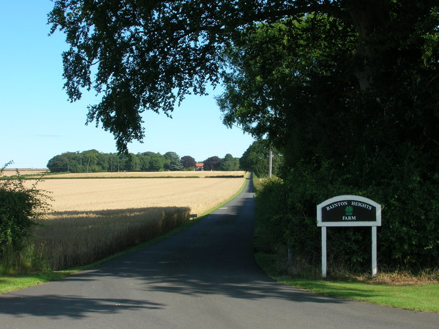
Track to Bainton Heights Farm - geograph.org.uk - 1414032.jpg - GeographBot

Track to Field House Farm - geograph.org.uk - 1414028.jpg - GeographBot

Track to Ling Farm - geograph.org.uk - 1414501.jpg - GeographBot

Entrance to Etton Fields Farm - geograph.org.uk - 1422349.jpg - GeographBot

Entrance to Freestone Farm House - geograph.org.uk - 1429253.jpg - GeographBot

Entrance to Mill Farm - geograph.org.uk - 1422182.jpg - GeographBot

Entrance to Wilton Lodge Farm - geograph.org.uk - 1420897.jpg - GeographBot

Entrance to Corner House Farm, Fimber - geograph.org.uk - 1430797.jpg - GeographBot

Entrance track to Southwold Farm - geograph.org.uk - 1436462.jpg - GeographBot

Track to Cliff Farm - geograph.org.uk - 1442322.jpg - GeographBot

Track to Wilfholme Farm - geograph.org.uk - 1454099.jpg - GeographBot

Provence Farm - geograph.org.uk - 1466186.jpg - GeographBot

Track to Sandsfield Farm - geograph.org.uk - 1463844.jpg - GeographBot

Gateway to West Farm - geograph.org.uk - 1472920.jpg - GeographBot

Track to East Field Farm - geograph.org.uk - 1496388.jpg - GeographBot

Track to Woodlands farm - geograph.org.uk - 1491642.jpg - GeographBot

Track to Dalton Gates Farm - geograph.org.uk - 1518983.jpg - GeographBot

Track to Grange Farm - geograph.org.uk - 1519012.jpg - GeographBot

Track to Hall Garth Farm - geograph.org.uk - 1519143.jpg - GeographBot

Track to Shiptondale Farm - geograph.org.uk - 1518998.jpg - GeographBot

Track to Warter Farmhouse - geograph.org.uk - 1518973.jpg - GeographBot

Track to Hampston Hill Farm - geograph.org.uk - 1527894.jpg - GeographBot

Track to Hull Bank Farm - geograph.org.uk - 1527917.jpg - GeographBot

Track to Sicey Farm - geograph.org.uk - 1527905.jpg - GeographBot

Track to Glebe Farm - geograph.org.uk - 1541503.jpg - GeographBot
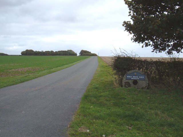
Track to Wold House Farm - geograph.org.uk - 1541374.jpg - GeographBot

Throstle Nest Farm entrance near Burnby - geograph.org.uk - 1568823.jpg - GeographBot

Track to Easthorpe Farm - geograph.org.uk - 1563379.jpg - GeographBot

Common Farm - geograph.org.uk - 1600949.jpg - GeographBot

Track to Beilsbeck Farm - geograph.org.uk - 1600938.jpg - GeographBot
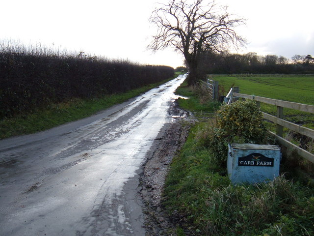
Track to Carr Farm - geograph.org.uk - 1600798.jpg - GeographBot
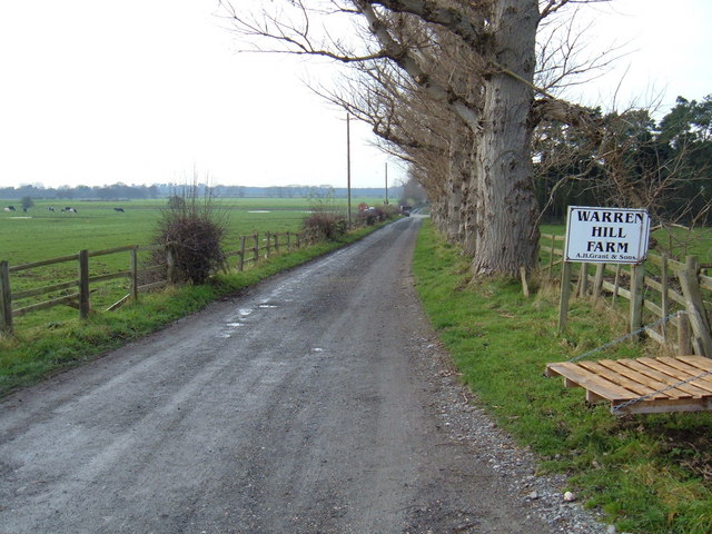
Track to Warren Hill Farm - geograph.org.uk - 1602039.jpg - GeographBot

Swanland Dale - geograph.org.uk - 1733619.jpg - GeographBot

Track to Eppleworth Wood Farm - geograph.org.uk - 1733583.jpg - GeographBot

Track to Rectory Farm - geograph.org.uk - 1733178.jpg - GeographBot

Yapham Hall Farm (geograph 1846174).jpg - Keith D

The entrance to Rowland Hill Farm (geograph 2503819).jpg - Keith D

Rowland Hill Farm (geograph 5717927).jpg - Keith D

Farm entrance, near Bolton (E Yorks) (geograph 5746036).jpg - Keith D

Track to Castle Farm, Wressle (geograph 2348217).jpg - Keith D

East End Farm, Asselby (geograph 2324494).jpg - Keith D

Track to Grange Farm Cottages (geograph 2348206).jpg - Keith D

Skidby Carr Farm off Dunswell Lane (geograph 5236378).jpg - Keith D

A room with a view? (geograph 1981667).jpg - Keith D

Farm track to Model & Poplar Farms (geograph 4399541).jpg - Keith D

Outhouses at White Hall (geograph 4451719).jpg - Keith D

Fingerpost on Long lane (geograph 4400029).jpg - Keith D

Fingerpost at Black House Farm, Long Lane (geograph 5100391).jpg - Keith D

The entrance to Wold Newton Grange (geograph 2749792).jpg - Keith D

Low Fordon Farm (geograph 5197661).jpg - Keith D

The way to Withernwick Hall (geograph 2199317).jpg - Keith D

Farm road to Woodend Farm (geograph 3848302).jpg - Keith D

Entrance to West Hill (geograph 6685283).jpg - Keith D

Track to Homer House Farm (geograph 1840452).jpg - Keith D

Lambwath Meadows near Withernwick (geograph 5455275).jpg - Keith D

Entrance to Willow Farm (geograph 5717626).jpg - Keith D

Birker Lane (geograph 6494456).jpg - Keith D

Station Farm, Wetwang (geograph 4818191).jpg - Keith D

Entrance to Outstray Farm (geograph 5562474).jpg - Keith D

Driveway to Ploughland (geograph 6909201).jpg - Keith D

Farm entrance, Raywell (geograph 7108803).jpg - Keith D

Milestone Farm on Low Road, Everthorpe (geograph 4607793).jpg - Sic19

Carr House Farm, Drove Lane (geograph 5483846).jpg - Keith D

Entrance to Baswick Steer Farm (geograph 5554744).jpg - Keith D

Entrance to Wold House Farm (geograph 7040084).jpg - Keith D

Access track to Shiptondale Farm (geograph 5643295).jpg - Keith D

Muddy entrance to Shiptondale Farm (geograph 6389748).jpg - Keith D

Track to Water Farm House (geograph 6510695).jpg - Keith D

Entrance to Blanch Farm (geograph 6010142).jpg - Keith D

Entrance to Cold Wold Farm (geograph 6911299).jpg - Keith D

Access track to Warren Farm (geograph 6845017).jpg - Keith D

Entrance to Warren Farm (geograph 7198321).jpg - Keith D

Pylons beside the reservoir (geograph 7198323).jpg - Keith D

Manor Farm from Wilfholme Road (geograph 7081265).jpg - Hogweard

Drain north of Blacktoft Lane (geograph 7161973).jpg - Keith D
❮
❯


