Wikimedi'Òc
Modes d'emploi

Cet album fait partie des albums
Cet album photos contient les sous-albums suivants :


Farmland at Easter Fodderletter Farm - geograph.org.uk - 9656.jpg - GeographBot

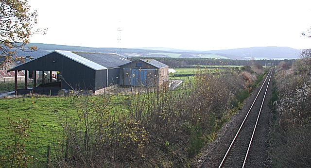
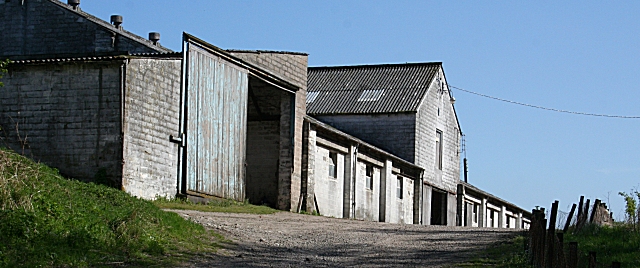
Straw store,Leitchestown Farm - geograph.org.uk - 121637.jpg - GeographBot

Burns of Kinminitie - geograph.org.uk - 154446.jpg - GeographBot

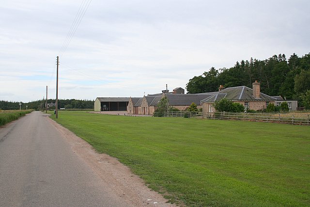
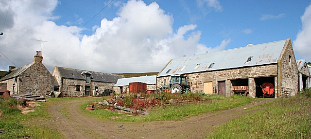
Drum Farm,Keith - geograph.org.uk - 154285.jpg - GeographBot

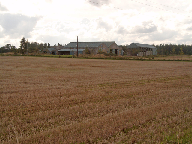
Inchbroom Farm - geograph.org.uk - 154070.jpg - GeographBot

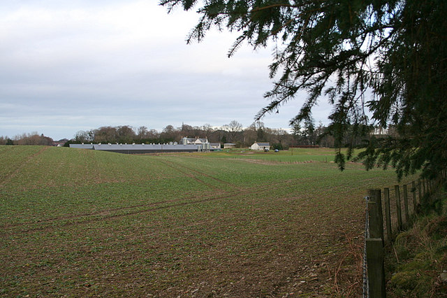
Mill of Newmill near Keith - geograph.org.uk - 154434.jpg - GeographBot

Newton Farm near Garmouth - geograph.org.uk - 153805.jpg - GeographBot

Crannach Farm, near Grange. - geograph.org.uk - 176857.jpg - GeographBot

Humbreck - geograph.org.uk - 172810.jpg - GeographBot

Meikle Cantly near Keith - geograph.org.uk - 176820.jpg - GeographBot

Farm south of Cummingstown. - geograph.org.uk - 185853.jpg - GeographBot

Keam Farm, Morayshire. - geograph.org.uk - 185827.jpg - GeographBot

Lower Blairnain farm steading. - geograph.org.uk - 186130.jpg - GeographBot

Briggs of Darbreich - geograph.org.uk - 205108.jpg - GeographBot

Redbog Farm nestled in the trees of Teindland Wood. - geograph.org.uk - 189628.jpg - GeographBot

Belnagown Farm junction. - geograph.org.uk - 215592.jpg - GeographBot

Nether Blairock - geograph.org.uk - 204961.jpg - GeographBot
Roadside steadings east of Whitemire. - geograph.org.uk - 200849.jpg - GeographBot

Steading, Auchenhalrig - geograph.org.uk - 201257.jpg - GeographBot

Bankhead (farm), Dyke - geograph.org.uk - 246098.jpg - GeographBot

Hillhead of Letterfourie - geograph.org.uk - 225081.jpg - GeographBot

Mains of Mulben Farm. - geograph.org.uk - 218546.jpg - GeographBot

Looking across the B9010 towards Moor of Granary. - geograph.org.uk - 221042.jpg - GeographBot
Cotterton (farm) near Dyke - geograph.org.uk - 246157.jpg - GeographBot

On the right you can see Darglins Farm. - geograph.org.uk - 213527.jpg - GeographBot

Old Steading - geograph.org.uk - 226368.jpg - GeographBot

Farm storage at Pitcraigie. - geograph.org.uk - 249381.jpg - GeographBot

Lane to Bog of Paithnick Farm. - geograph.org.uk - 238425.jpg - GeographBot

Upper Lynemore farm in the hollow - geograph.org.uk - 237932.jpg - GeographBot

Hay storage - geograph.org.uk - 249494.jpg - GeographBot

Mains of Findochty - geograph.org.uk - 248890.jpg - GeographBot

Mains of Struthers - geograph.org.uk - 244591.jpg - GeographBot

Newton of Struthers - geograph.org.uk - 244590.jpg - GeographBot

Culfearn Farm on the bonnie banks of Dorback. - geograph.org.uk - 250104.jpg - GeographBot

Humbreck - geograph.org.uk - 251005.jpg - GeographBot

Milltown farm buildings. - geograph.org.uk - 252994.jpg - GeographBot

That's Achnabechan Farm at one kilometre to the northwest - geograph.org.uk - 253580.jpg - GeographBot

The lane to Rhinturk Farm. - geograph.org.uk - 259942.jpg - GeographBot

Woodside of Cairnty Farm. - geograph.org.uk - 253021.jpg - GeographBot

Glenshiel (farm) buildings - geograph.org.uk - 265101.jpg - GeographBot

Grangegreen (farm) - geograph.org.uk - 264602.jpg - GeographBot

Scarffbank Farm in early winter sunlight. - geograph.org.uk - 269751.jpg - GeographBot

Wellside farm - geograph.org.uk - 264638.jpg - GeographBot

Mains of Edingight Farm - geograph.org.uk - 274522.jpg - GeographBot

Whiteley - geograph.org.uk - 274566.jpg - GeographBot

Garbity - geograph.org.uk - 282880.jpg - GeographBot

Orbliston - geograph.org.uk - 282805.jpg - GeographBot
Orbliston - geograph.org.uk - 282809.jpg - GeographBot

Time for Lunch - geograph.org.uk - 282806.jpg - GeographBot

Boghole Farm to the northwest. - geograph.org.uk - 314262.jpg - GeographBot
Peeping from the woods to Whiterow chicken farm. - geograph.org.uk - 325230.jpg - GeographBot

Aldivonie Farm west of the Oak Burn. - geograph.org.uk - 347795.jpg - GeographBot

Auchness Farm buildings. - geograph.org.uk - 341916.jpg - GeographBot

Branchill Cottage and farm. - geograph.org.uk - 341867.jpg - GeographBot

Delnapot steadings. - geograph.org.uk - 348673.jpg - GeographBot

Glenarder Farm. - geograph.org.uk - 348647.jpg - GeographBot

Langlanburn - geograph.org.uk - 343265.jpg - GeographBot

Nether Knockans Farm - geograph.org.uk - 348533.jpg - GeographBot

Scottackleys Farm cottage. - geograph.org.uk - 347756.jpg - GeographBot

Tullochallum - geograph.org.uk - 341497.jpg - GeographBot

Whitetree steadings to the southwest. - geograph.org.uk - 347536.jpg - GeographBot

The Knowes Farm near Deskford - geograph.org.uk - 351309.jpg - GeographBot

Abandoned croft. A second use. - geograph.org.uk - 379219.jpg - GeographBot

Bogforth - geograph.org.uk - 379387.jpg - GeographBot

Crofts - geograph.org.uk - 379024.jpg - GeographBot

Kirkhill - geograph.org.uk - 379175.jpg - GeographBot

Scarffbanks - geograph.org.uk - 374672.jpg - GeographBot

Scarffbanks - geograph.org.uk - 374675.jpg - GeographBot

Wester Greens viewed from the west. - geograph.org.uk - 369941.jpg - GeographBot

Barluack - geograph.org.uk - 384765.jpg - GeographBot

Barluack - geograph.org.uk - 384773.jpg - GeographBot

Drum of Carron. - geograph.org.uk - 384620.jpg - GeographBot

Old steading at Bridgend - geograph.org.uk - 381000.jpg - GeographBot

Gedloch - geograph.org.uk - 399732.jpg - GeographBot

Glenlatterach Farm - geograph.org.uk - 399032.jpg - GeographBot

Glenlatterach Farm - geograph.org.uk - 399048.jpg - GeographBot

Ruin. - geograph.org.uk - 399917.jpg - GeographBot

Gateside - geograph.org.uk - 415162.jpg - GeographBot
Kininvie Farm - geograph.org.uk - 422107.jpg - GeographBot

Pitcraigie - geograph.org.uk - 424969.jpg - GeographBot

Westerton of Drummuir - geograph.org.uk - 422328.jpg - GeographBot

Inchbroom Farm on the banks of the Lossie. - geograph.org.uk - 450068.jpg - GeographBot

Mains of Balvenie - geograph.org.uk - 478112.jpg - GeographBot

Slogan - geograph.org.uk - 479417.jpg - GeographBot
Slogan - geograph.org.uk - 479423.jpg - GeographBot

Bogeney nestles in the trees. - geograph.org.uk - 545174.jpg - GeographBot

Kerrow Farm with the rain fast approaching from the west. - geograph.org.uk - 566458.jpg - GeographBot

Bauds to the nor'west - geograph.org.uk - 578664.jpg - GeographBot

Hatton Farm - geograph.org.uk - 579411.jpg - GeographBot

Hatton Farm - geograph.org.uk - 579419.jpg - GeographBot

The secluded buildings of Johnstripe - geograph.org.uk - 584119.jpg - GeographBot

Buildings at Meikle Brancill - geograph.org.uk - 599556.jpg - GeographBot

Farm Buildings at Easter Tulloch - geograph.org.uk - 599569.jpg - GeographBot

Clashconnachie Farm viewed from the north - geograph.org.uk - 601485.jpg - GeographBot

Croft buildings south of Sneishin Hill - geograph.org.uk - 639999.jpg - GeographBot

Mossend - geograph.org.uk - 687710.jpg - GeographBot

Farm buildings of the Haugh of Kilnmaichlie farm - geograph.org.uk - 766579.jpg - GeographBot

A derelict steading at Gauch - geograph.org.uk - 1017877.jpg - GeographBot

Linkwood Farm Steading - geograph.org.uk - 1062372.jpg - GeographBot

A view of Sleughwhite from the brae to the sou'east - geograph.org.uk - 1104022.jpg - GeographBot

Greenloan farmyard - geograph.org.uk - 1215913.jpg - GeographBot

Croftglass steading - geograph.org.uk - 1339694.jpg - GeographBot

Derelict house at Lynavoir - geograph.org.uk - 1435482.jpg - GeographBot

Derelict steading at Lynavoir - geograph.org.uk - 1435475.jpg - GeographBot

Farm Buildings at Dipple (geograph 6740168).jpg - Craobh àrd