Wikimedi'Òc
Modes d'emploi

Cet album fait partie des albums
Cet album photos contient les sous-albums suivants :


Two for Joy - geograph.org.uk - 1159286.jpg - GeographBot

Footpath to Fairfield - geograph.org.uk - 1504802.jpg - GeographBot

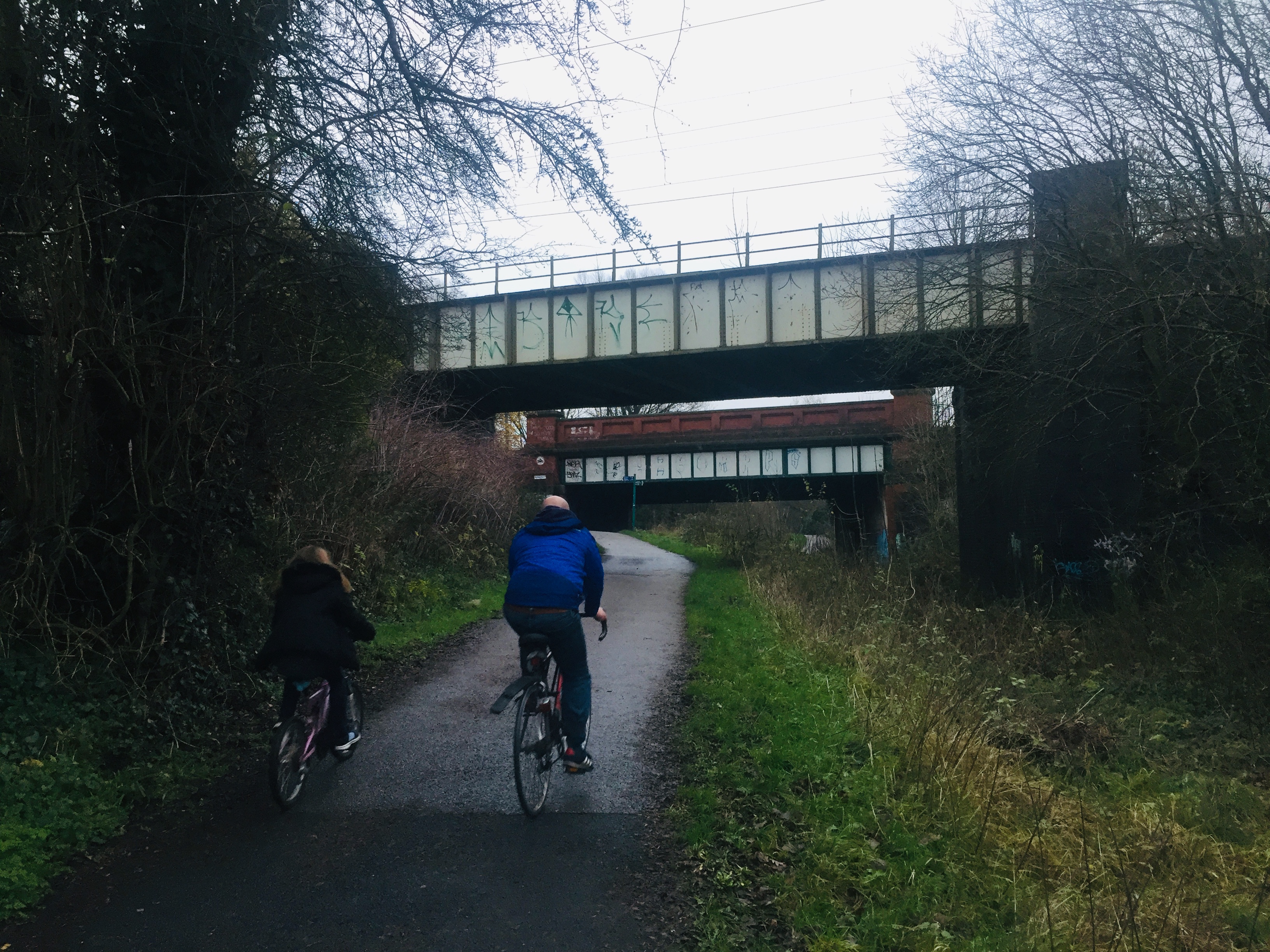
Bridge carrying St Werburgh's Road over the Fallowfield Loop Cycleway - geograph.org.uk - 1675562.jpg - File Upload Bot (Magnus Manske)
Fallowfield Loop (9884203675).jpg - Ivanevian

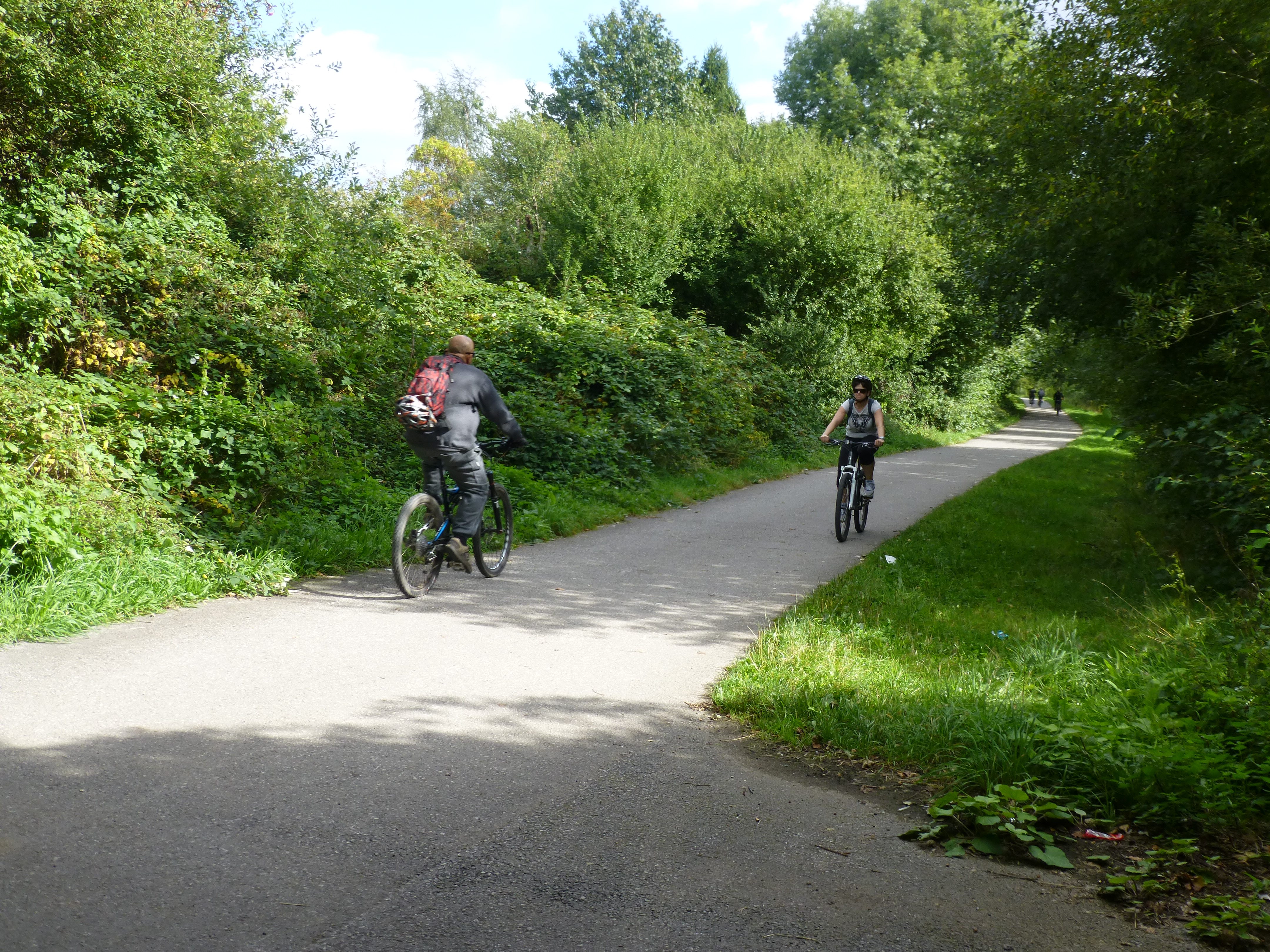
Fallowfield Loop (8541036270).jpg - Ivanevian

Fallowfield Loop old woman sculpture (8199415725).jpg - Ivanevian

Fallowfield Loop barrier (8539993069).jpg - Ivanevian
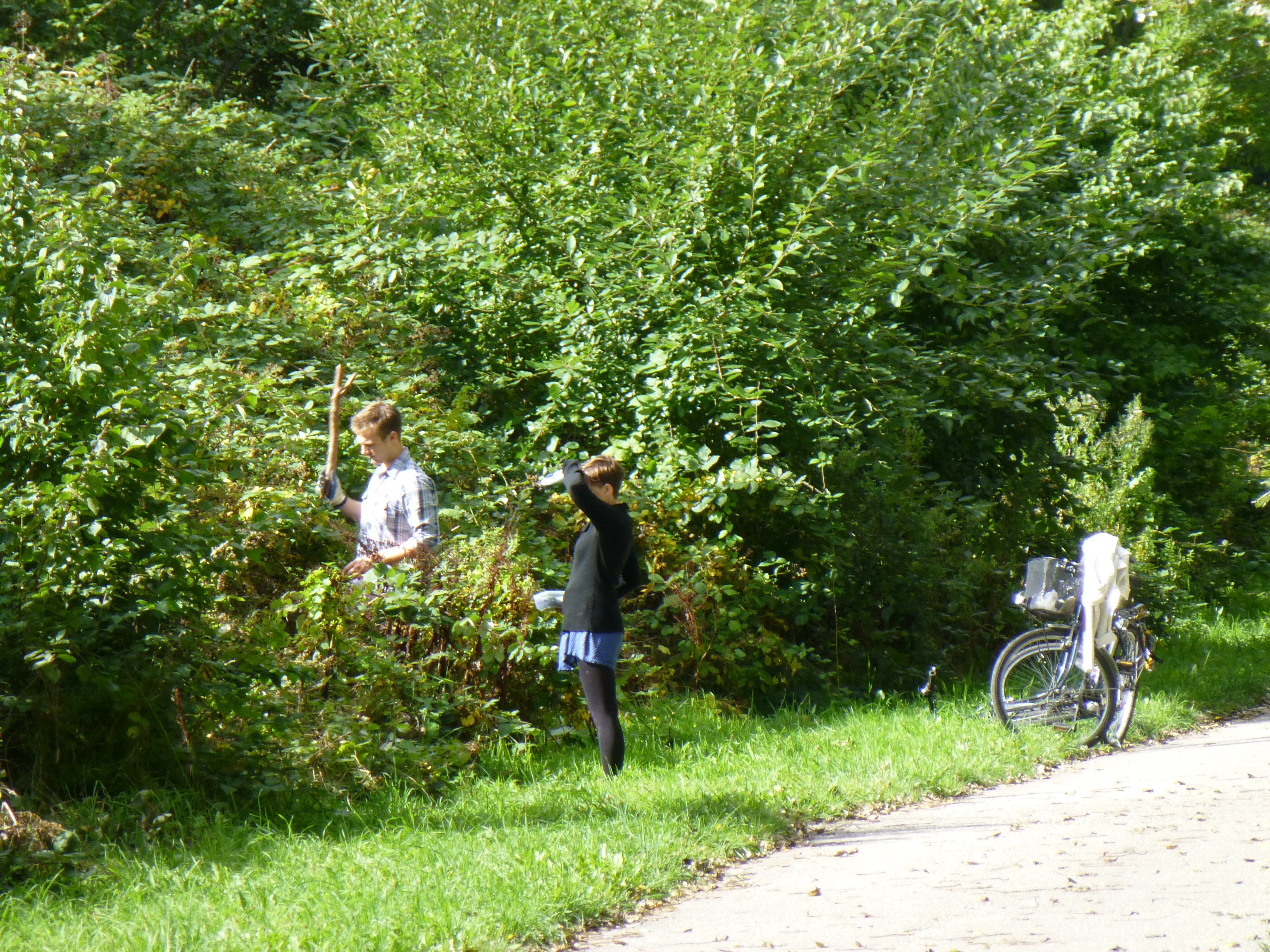
Fallowfield Loop blackberry pickers (9884390936).jpg - Ivanevian
Fallowfield Loop - Sustrans mural on the Wellington Road bridge (9757355045).jpg - Ivanevian

The "Man Woman Child" sculptures by Rachel Ramchurn on the Fallowfield Loop (8200756250).jpg - Ivanevian

Fallowfield Loop - The lattice bridge and the Highfield Country Park access point (8516208957).jpg - Ivanevian

A signpost on the Fallowfield Loop near Nelstrop Road (8513119887).jpg - Ivanevian

The Thirlmere Aqueduct passing over the Fallowfield Loop (8514240210).jpg - Ivanevian

The Debdale Park access point onto the Fallowfield Loop (8508873738).jpg - Ivanevian

A close up view of the Fallowfield Loop barrier near the Elisabeth Svendsen Trust Donkey Sanctuary (8503652874).jpg - Ivanevian

The eastern end of the Fallowfield Loop near Fairfield Station (8501193137).jpg - Ivanevian

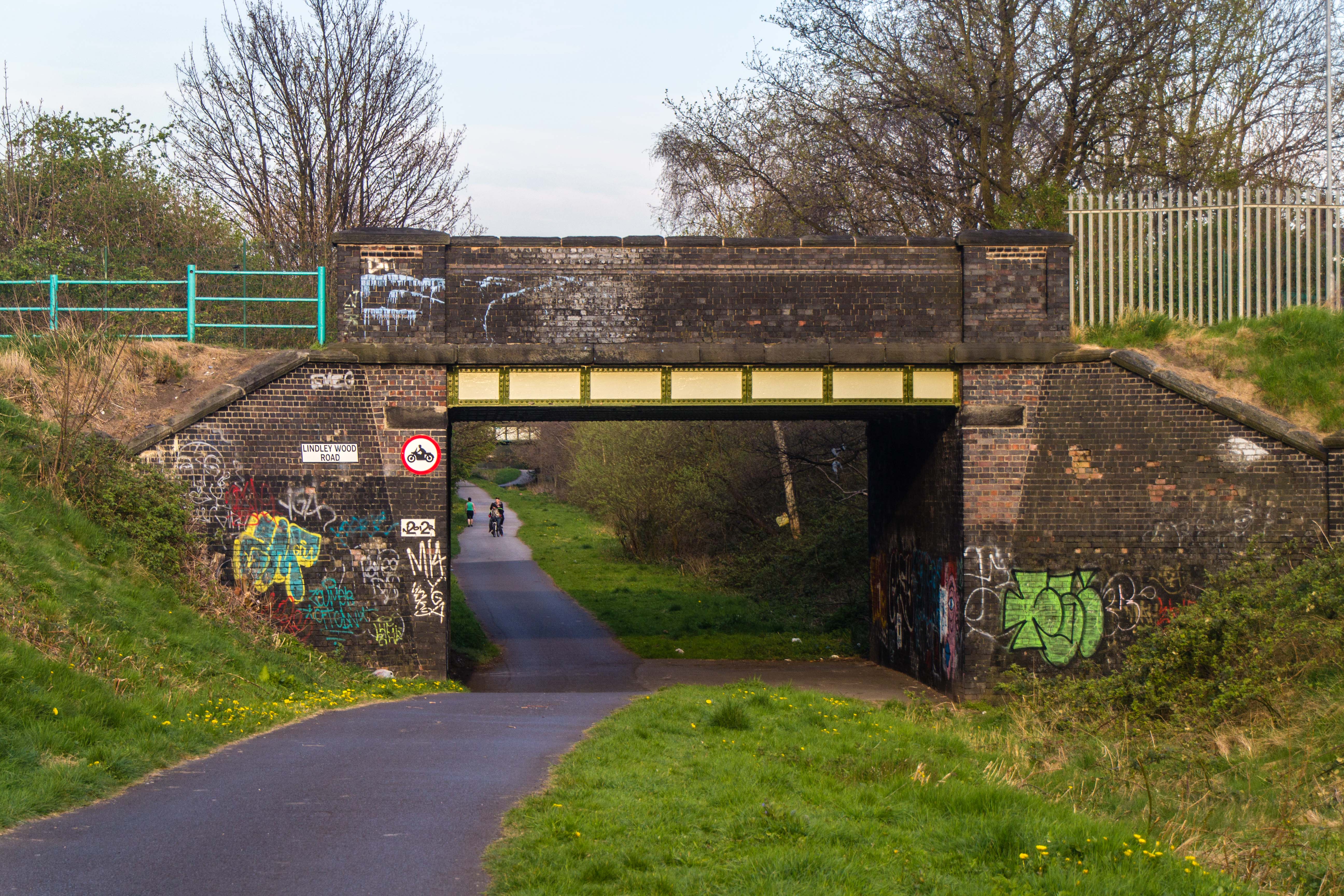
Fallowfield Loop Lindlewood Lane bridge.jpg - Geof Sheppard

Fallowfield Loop cycle route.jpeg - Cnbrb

Fallowfield Loop cycle route 18 37 36 206000.jpeg - Cnbrb
Fallowfield Loop cycle route 18 38 08 781000.jpeg - Cnbrb

Fallowfield Loop cycle route 18 38 37 476000.jpeg - Cnbrb

Fallowfield Loop cycle route 18 39 09 697000.jpeg - Cnbrb

Fallowfield Loop cycle route 18 39 38 791000.jpeg - Cnbrb

Fallowfield Loop cycle route 18 40 11 585000.jpeg - Cnbrb

Fallowfield Loop cycle route 18 40 42 781000.jpeg - Cnbrb

Hyde Road, Gorton from Fallowfield Loop Line bridge (towards Debdale Park and Denton).jpg - Wyth4Life79

Hyde Road, Gorton from Fallowfield Loop Line bridge (towards Belle Vue and Manchester City Centre).jpg - Wyth4Life79

Cycleway - geograph.org.uk - 2757105.jpg - GeographBot

Errwood Road Bridge - geograph.org.uk - 2941034.jpg - GeographBot

Cycle path following route of former railway - geograph.org.uk - 7495752.jpg - GeographBot

National Cycle Route 6, Fallowfield Loop Line - geograph.org.uk - 3215461.jpg - GeographBot

Fallowfield Loop Line, Bridge^14 (Nelstrop Road) - geograph.org.uk - 3215462.jpg - GeographBot

Fallowfield Loop Line, Bridge at Longford Road East - geograph.org.uk - 3215473.jpg - GeographBot

Fallowfield Loop - geograph.org.uk - 4445358.jpg - GeographBot
Fallowfield Loop - geograph.org.uk - 4445361.jpg - GeographBot

Cycle route on a former railway - geograph.org.uk - 4518560.jpg - GeographBot

The Fallowfield Loop - geograph.org.uk - 5573580.jpg - GeographBot

Path down to the Fallowfield Loop - geograph.org.uk - 6372466.jpg - GeographBot