Wikimedi'Òc
Modes d'emploi

Cet album fait partie des albums
Cet album photos contient les sous-albums suivants :


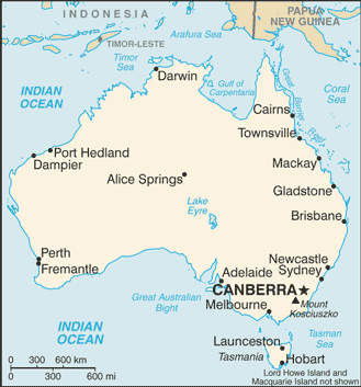
As-map.png - DaniDF1995
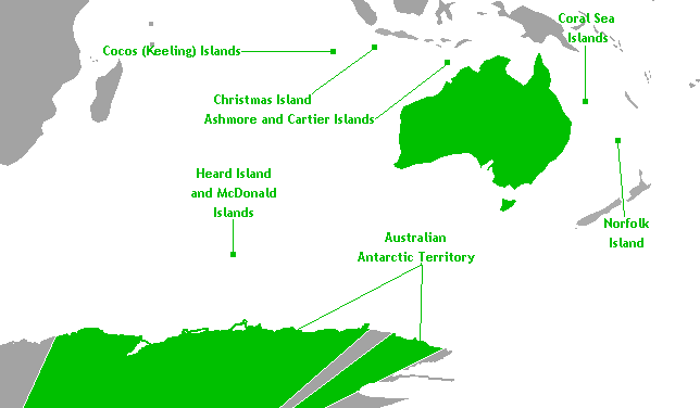
Australian external territories.png - Hoshie

Australian Extremities.png - Bezza84
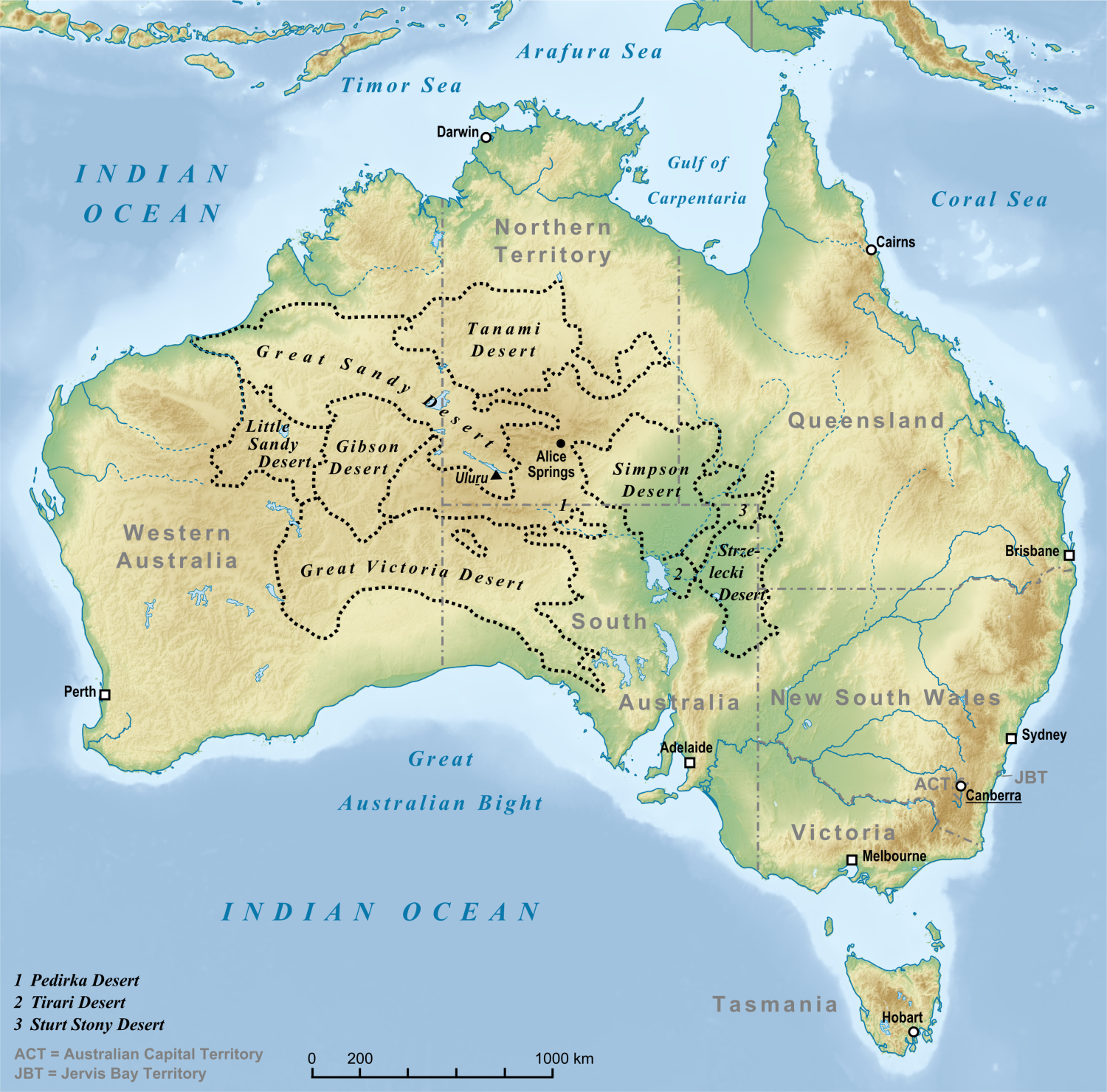
Deserts in Australia en.png - Lencer

1989 Newcastle earthquake ShakeMap.svg - Master of Time

Australia OCHA map.jpg - Wereldburger758
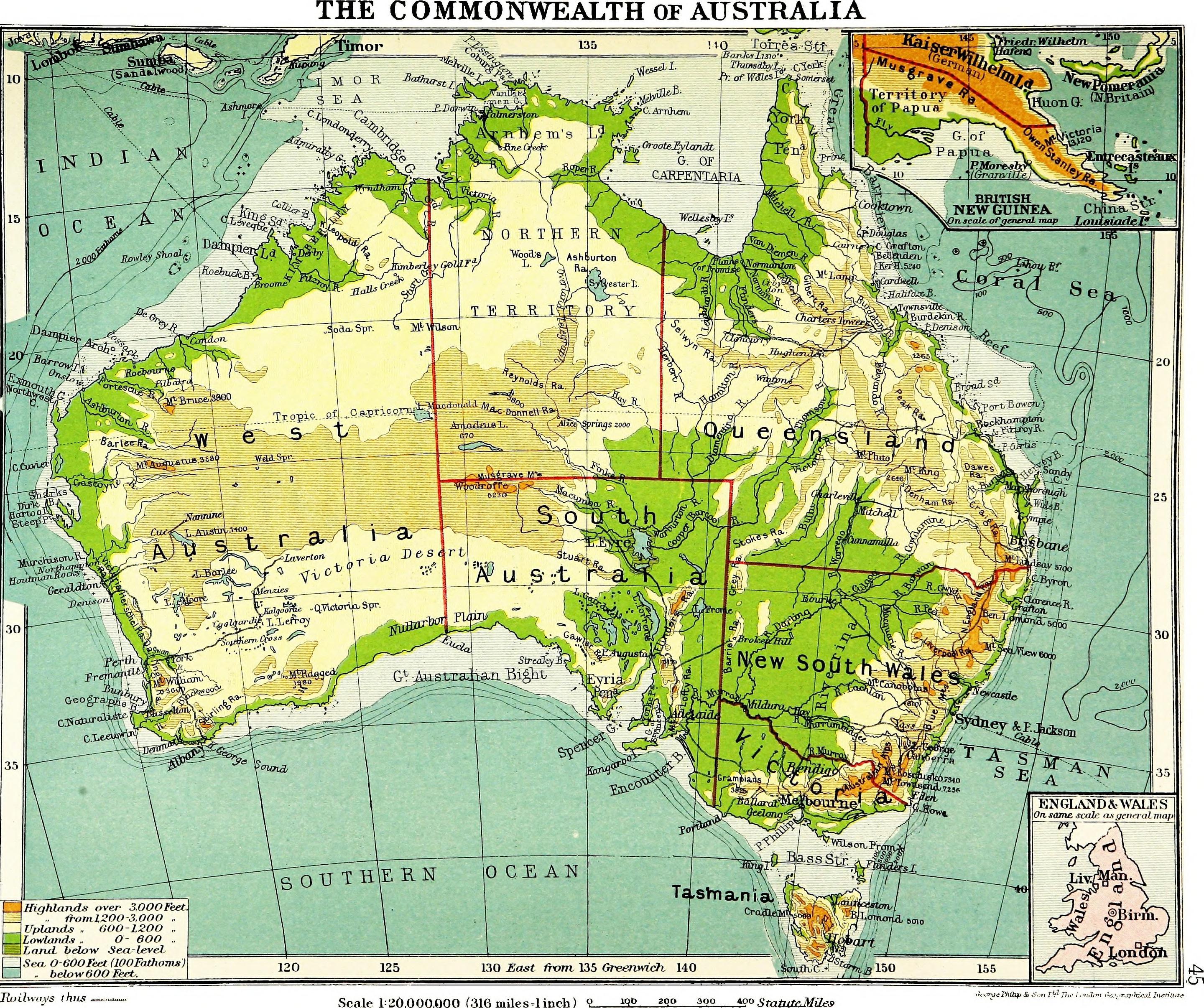
An atlas of commercial geography (1913) (14594767000).jpg - SteinsplitterBot

2006decileanomaly - new.gif - Moppaquestionmark

2010decileanomaly.gif - Moppaquestionmark

2009decileanomaly - new.gif - Moppaquestionmark

Australian Heatwave 2017 Satellite Imagery.png - Ich

Map of British Australia.jpg - Zoozaz1

Beach towel, II (8600327864).jpg - JrandWP

Top 3 languages taught in Australia schools by state or territory.png - Wikilingua

Map of Western Australia - btv1b53060414s.jpg - Gzen92Bot

S. T. Leigh and Cole Map of the city of Sydney, compiled from the most authentic sources in the surveyor general's dept (trigonometrical branch)... - btv1b53025345k.jpg - Gzen92Bot

Stanford's general map of Australia - btv1b53063390z.jpg - Gzen92Bot
Australia - btv1b531954155.jpg - Gzen92Bot

Map of New South Wales railways showing coaches and other routes... with mileages from Sydney... - btv1b53065085b.jpg - Gzen92Bot
Map of the commonwealth of Australia, showing railways open, under construction - authorised by Parliament ; and surveyed by H. E. C. Robinson... - btv1b53209996p.jpg - Gzen92Bot

Map of New South Wales railways showing coaches and other routes... with mileages from Sydney... - btv1b530652908.jpg - Gzen92Bot

PAT - Australia.gif - Babelia

Australie. - Map of Australia, constructed for the use of schools - btv1b53023047n.jpg - Gzen92Bot

Australia - btv1b53065220c.jpg - Gzen92Bot

1cavg7 201702 Australia.png - Lupe

Aaron Arrowsmith, New Holland (FL27963653 2518620).jpg - Geagea