Wikimedi'Òc
Modes d'emploi

Cet album fait partie des albums


Percentage of Muslim population in West Bengal.svg - MS Sakib

2024 Lok Sabha Election Schedule.svg - Saad Ali Khan Pakistan

Percentage of population who are multidimensionally poor by State and Union Territory.svg - Kaythehistorian

India population density map en.svg - Quibik

India climatic zone map en.svg - Saravask

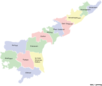
Andhra Pradesh districts map.svg - C.Dev

Punjab map.svg - FrozenCourgette

UttarakhandDistricts numbered.svg - GDibyendu

Naval bases of India.svg - Rama

Up-subregions2.svg - Hunnjazal

Karnataka 1956 Reorg.svg - Nayvik

India-map-en.svg - KEmel49

35 India States and Union Territories GDP per capita on PPP basis in 2011.svg - M Tracy Hunter

2011 Census India population density map, states and union territories.svg - M Tracy Hunter

2012 Fertility rate map of India, births per woman by its states and union territories.svg - M Tracy Hunter

India, Mizoram locator map (2015.04.21).svg - Yug

India map of Köppen climate classification.svg - Oganesson007

Zonal Councils.svg - Sgh45

Punjab 2012 administrativ.svg - Jayesh.gohel

South India altitudes.svg - Shyamal

Autonomous divisions of India.svg - আফতাবুজ্জামান

Kerala Flood Relief States.svg - KCVelaga

Andhra Pradesh districts map from 2 June 2014.svg - KEmel49

2019 Lok Sabha Election Schedule.svg - RaviC

Tehsils of Sri Ganganagar District, Rajasthan, India.svg - Qtz arenite

India Assam COVID-19 map.svg - KEmel49

India Assam COVID-19 Death map.svg - Shanze1

Proposed states and union territories of India.svg - Sbb1413

Demonyms of Indian states and union territories.svg - Sbb1413