×

Footpath towards Bishopthorpe - geograph.org.uk - 7424656.jpg - GeographBot

Heading for Copmanthorpe - geograph.org.uk - 7614292.jpg - GeographBot

On the Ebor Way - geograph.org.uk - 7614295.jpg - GeographBot

The Ebor Way - geograph.org.uk - 7614296.jpg - GeographBot

Bishopthorpe Crossing - geograph.org.uk - 7614297.jpg - GeographBot

Dales Way link, Chevin Forest Park - geograph.org.uk - 41268.jpg - GeographBot

Footpath into Helmsley from Harome - geograph.org.uk - 76835.jpg - GeographBot

Semis on the outskirts of Menston - geograph.org.uk - 42676.jpg - GeographBot

The Foss - geograph.org.uk - 105250.jpg - GeographBot

Bridge over Stank Beck and Kennel Wood - geograph.org.uk - 154250.jpg - GeographBot

Ebor Way Signpost, Harewood Estate - geograph.org.uk - 154093.jpg - GeographBot

Bank Top Farm, Blackhill Lane - geograph.org.uk - 174780.jpg - GeographBot

Cycle route down to Millennium bridge - geograph.org.uk - 186673.jpg - GeographBot

Burley Moor - geograph.org.uk - 201262.jpg - GeographBot

Bridleway and sign - geograph.org.uk - 244209.jpg - GeographBot

The Centenary Way - geograph.org.uk - 211181.jpg - GeographBot

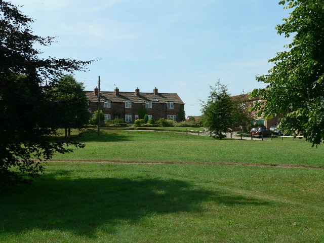
The Village Green, Sheriff Hutton - geograph.org.uk - 210386.jpg - GeographBot

Trip Lane - geograph.org.uk - 244197.jpg - GeographBot

Main Street, Newton Kyme - geograph.org.uk - 295503.jpg - GeographBot

Footpath 1 Km west of Hovingham - geograph.org.uk - 356091.jpg - GeographBot

Church Lane, Harewood Estate - geograph.org.uk - 363831.jpg - GeographBot

Ebor Way junction near Sproxton - geograph.org.uk - 387785.jpg - GeographBot

Gate on Ebor Way - geograph.org.uk - 387775.jpg - GeographBot

Ryedale footpath near Ellers Wood - geograph.org.uk - 387729.jpg - GeographBot

Private track at junction on the Ebor Way near Hovingham - geograph.org.uk - 415991.jpg - GeographBot

View to Mill Holm Plantation from The Ebor Way - geograph.org.uk - 415994.jpg - GeographBot

Black Dike - geograph.org.uk - 426746.jpg - GeographBot

Footbridge over the River Foss - geograph.org.uk - 426755.jpg - GeographBot

Footpath near Terrington Church - geograph.org.uk - 494904.jpg - GeographBot

The Ebor Way at Terrington - geograph.org.uk - 494909.jpg - GeographBot

Looking down Coldstone Beck, Burley Moor - geograph.org.uk - 528904.jpg - GeographBot

Allotment adjacent to the Ebor Way - geograph.org.uk - 540689.jpg - GeographBot

Primrose Barn - geograph.org.uk - 540686.jpg - GeographBot

Primrose Farm - geograph.org.uk - 540684.jpg - GeographBot

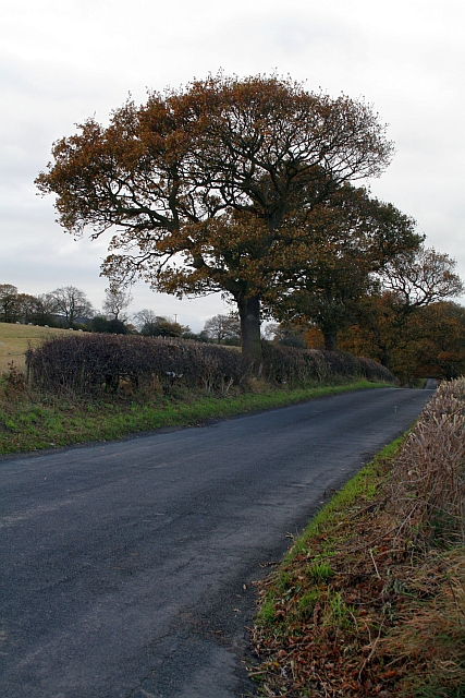
Eccup Lane at Burden Head - geograph.org.uk - 609779.jpg - GeographBot

Meeting of tracks near Baxtonhowe. - geograph.org.uk - 607575.jpg - GeographBot

Rock Outcrop - geograph.org.uk - 747423.jpg - GeographBot

Cow and Calf Hotel - geograph.org.uk - 844062.jpg - GeographBot

Moor edge path, Ilkley Moor - geograph.org.uk - 1020372.jpg - GeographBot

Allums Lane - geograph.org.uk - 1049747.jpg - GeographBot

Bank Side Farm - geograph.org.uk - 1049753.jpg - GeographBot

Bank Top Lane - geograph.org.uk - 1049769.jpg - GeographBot

Bridge at Rye House Farm - geograph.org.uk - 1049867.jpg - GeographBot

Ebor Way Logo - geograph.org.uk - 1049820.jpg - GeographBot

Ebor Way near Bank Side Farm - geograph.org.uk - 1049762.jpg - GeographBot

Footpath to Burley Moor - geograph.org.uk - 1172522.jpg - GeographBot

The Trans-Pennine Trail - geograph.org.uk - 1220393.jpg - GeographBot

Yachts on the river Ouse - geograph.org.uk - 1220388.jpg - GeographBot

Ebor Way Sign Eccup 2016.jpg - Chemical Engineer

A view towards Cawton on the Ebor Way (4th October 2020).jpg - Mtaylor848

Wetherby Golf Course (20th February 2021) 003.jpg - Mtaylor848

Wetherby Golf Course (20th February 2021) 007.jpg - Mtaylor848

Wetherby Golf Course (20th February 2021) 008.jpg - Mtaylor848

A Footbridge in Hiding - geograph.org.uk - 2521555.jpg - GeographBot

Ebor Way heading for Yorkgate - geograph.org.uk - 3356356.jpg - GeographBot

Ebor Way towards Copmanthorpe - geograph.org.uk - 3383661.jpg - GeographBot

Footbridge on the Ebor Way west of Bishopthorpe - geograph.org.uk - 3386541.jpg - GeographBot

Ebor Way at Nunthorpe, York - geograph.org.uk - 4106689.jpg - GeographBot

Ebor Way at Nun Ings, York - geograph.org.uk - 4106716.jpg - GeographBot

Ebor Way at Nun Ings, York - geograph.org.uk - 4106720.jpg - GeographBot

Ebor Way at Nun Ings, York - geograph.org.uk - 4106730.jpg - GeographBot

Ebor Way at Middlethorpe Ings - geograph.org.uk - 4106755.jpg - GeographBot

Ebor Way at Middlethorpe Ings - geograph.org.uk - 4106785.jpg - GeographBot

Ebor Way towards Bishopthorpe - geograph.org.uk - 4106809.jpg - GeographBot

Stile on the Ebor Way at Bishopthorpe - geograph.org.uk - 4106845.jpg - GeographBot

Ebor Way towards Bishopthorpe - geograph.org.uk - 4106850.jpg - GeographBot

Ebor Way towards Wharfe Bridge - geograph.org.uk - 4112521.jpg - GeographBot

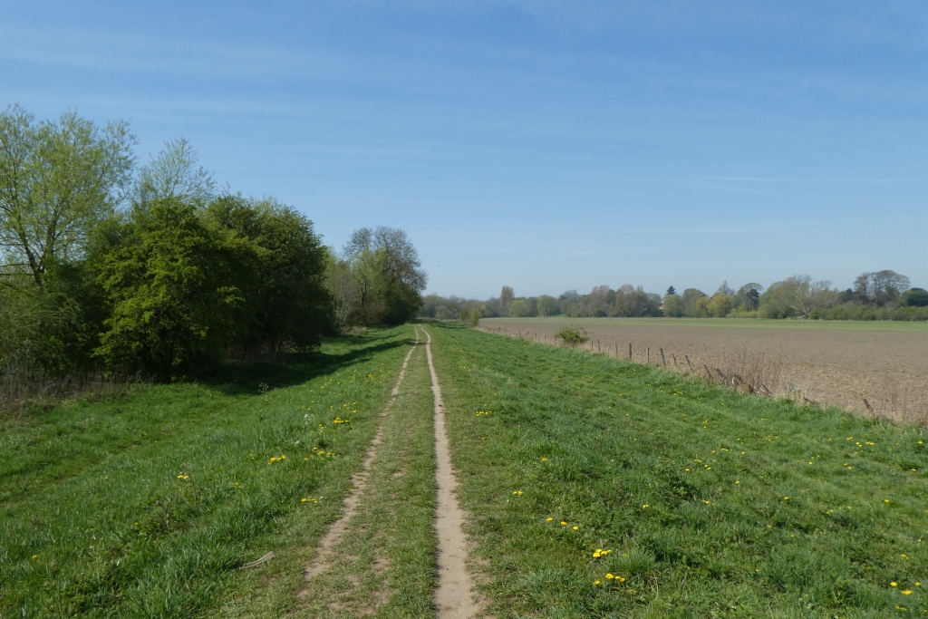
Footpath on a flood bank - geograph.org.uk - 5077309.jpg - GeographBot

Ebor ^ Centenary Ways and Foss Walk - geograph.org.uk - 5654774.jpg - GeographBot

Ebor ^ Centenary Ways and Foss Walk - geograph.org.uk - 5658256.jpg - GeographBot

Footbridge on Ebor ^ Centenary Ways and Foss Walk - geograph.org.uk - 5658261.jpg - GeographBot

Fingerpost on Towthorpe Road - geograph.org.uk - 5658267.jpg - GeographBot

Kissing gate off Arthington Road - geograph.org.uk - 5787837.jpg - GeographBot

Path to Bishopthorpe - geograph.org.uk - 6127083.jpg - GeographBot

Middlethorpe Ings - geograph.org.uk - 6127085.jpg - GeographBot

Stile on Middlethorpe Ings - geograph.org.uk - 6127086.jpg - GeographBot

Path on Middlethorpe Ings - geograph.org.uk - 6127088.jpg - GeographBot

Path to Bishopthorpe - geograph.org.uk - 6127090.jpg - GeographBot

Ouse path to Millennium Bridge - geograph.org.uk - 6127093.jpg - GeographBot

On the Ebor Way - geograph.org.uk - 6282376.jpg - GeographBot

From the Ebor Way - geograph.org.uk - 6282380.jpg - GeographBot

Walking the dog on the Ebor Way - geograph.org.uk - 6282383.jpg - GeographBot

Beside the River Ouse - geograph.org.uk - 6282387.jpg - GeographBot

A stile on the Ebor Way - geograph.org.uk - 6282401.jpg - GeographBot

Footpath on Middlethorpe Ings - geograph.org.uk - 6282404.jpg - GeographBot

Bishopthorpe Bridge - geograph.org.uk - 6282410.jpg - GeographBot

The Ebor Way near Middlethorpe - geograph.org.uk - 6282411.jpg - GeographBot

Walking beside the Ouse - geograph.org.uk - 6282414.jpg - GeographBot

The Ebor Way - geograph.org.uk - 6282416.jpg - GeographBot

Concrete road and footpath, Strensall - geograph.org.uk - 6777082.jpg - GeographBot

Footpath beside the River Ouse near Nunthorpe - geograph.org.uk - 7229519.jpg - GeographBot

Ebor Way heading South beside the River Ouse - geograph.org.uk - 7229551.jpg - GeographBot

Path on Otley Chevin - geograph.org.uk - 6001939.jpg - GeographBot

Beeches and Boulders - geograph.org.uk - 1021008.jpg - GeographBot
❮
❯


