Wikimedi'Òc
Modes d'emploi

Cet album fait partie des albums
Cet album photos contient les sous-albums suivants :


Watership from northeast.jpg - Svencb

Watership Down.gif - Terryballard

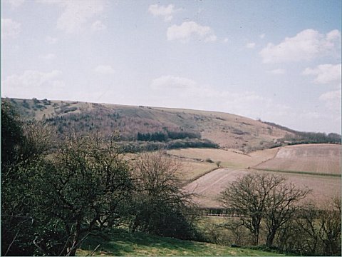
Watership Down - geograph.org.uk - 3111.jpg - GeographBot
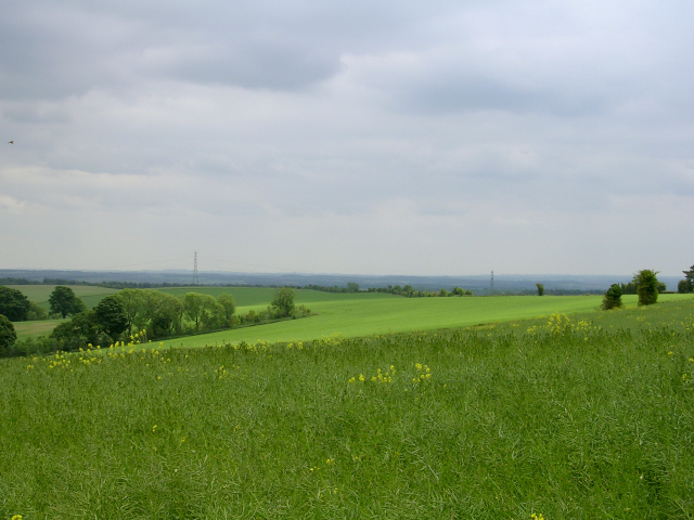
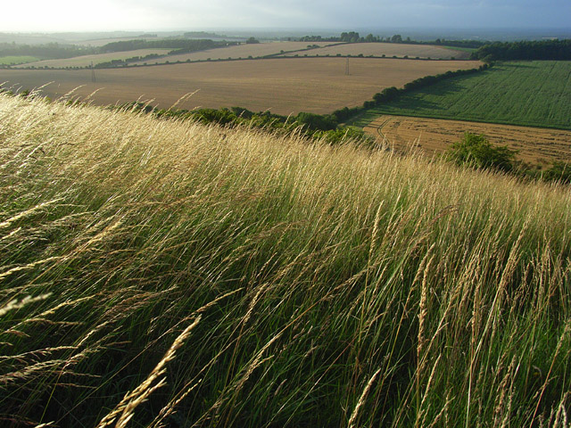
Watership Down - geograph.org.uk - 24342.jpg - GeographBot

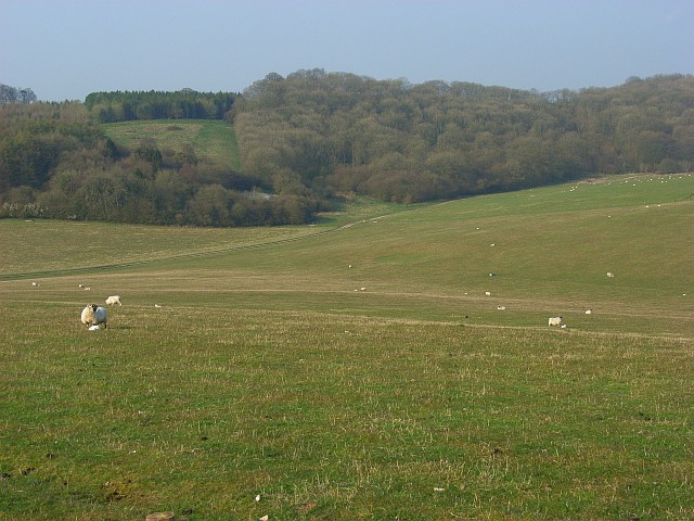
Downland grazing at the top of Tegdown Bottom, near East Meon - geograph.org.uk - 168338.jpg - GeographBot

Downland near Kingsclere - geograph.org.uk - 173629.jpg - GeographBot

Downs above Kingsclere - geograph.org.uk - 173419.jpg - GeographBot

Downs south of Cheesefoot Head - geograph.org.uk - 252005.jpg - GeographBot

Downland in the Candover Valley - geograph.org.uk - 284087.jpg - GeographBot

Candover Valley downland - geograph.org.uk - 290903.jpg - GeographBot

Downland at Four Corners - geograph.org.uk - 294897.jpg - GeographBot

Downland near Stapleton Farm - geograph.org.uk - 295106.jpg - GeographBot
Downs, Litchfield - geograph.org.uk - 306296.jpg - GeographBot

Chalk Downland in Winter - geograph.org.uk - 322967.jpg - GeographBot

Downland above the Meon Valley - geograph.org.uk - 362895.jpg - GeographBot

Downland of the upper Meon Valley - geograph.org.uk - 362885.jpg - GeographBot

Downs above Kingsclere - geograph.org.uk - 361096.jpg - GeographBot

Autumnal view from the downs above Kingsclere.jpg - BaldBoris

Downland, Hollington - geograph.org.uk - 403263.jpg - GeographBot

Downland near Ashmansworth - geograph.org.uk - 403500.jpg - GeographBot

Downland near Faccombe - geograph.org.uk - 403507.jpg - GeographBot

Edge of Breamore Down - geograph.org.uk - 409591.jpg - GeographBot

Downland, Tidcombe - geograph.org.uk - 417977.jpg - GeographBot

Downland track, Shipton Bellinger - geograph.org.uk - 440660.jpg - GeographBot

Downland, Nether Wallop - geograph.org.uk - 461280.jpg - GeographBot

Downland, Nether Wallop - geograph.org.uk - 464992.jpg - GeographBot

Downland, Nether Wallop - geograph.org.uk - 465032.jpg - GeographBot

Downland, Nether Wallop - geograph.org.uk - 519712.jpg - GeographBot

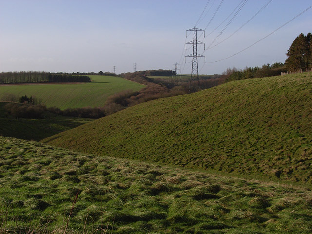
Downland South of Hannington - geograph.org.uk - 697869.jpg - GeographBot

Downs North-east of Overton - geograph.org.uk - 697774.jpg - GeographBot

Downs South of Hannington - geograph.org.uk - 697865.jpg - GeographBot

Byway and downland, Marten - geograph.org.uk - 738264.jpg - GeographBot

Downland, Combe - geograph.org.uk - 763918.jpg - GeographBot

Downland, Combe - geograph.org.uk - 769855.jpg - GeographBot

Downland, Combe - geograph.org.uk - 769862.jpg - GeographBot

Downland, Combe - geograph.org.uk - 769872.jpg - GeographBot

Downland, East Woodhay - geograph.org.uk - 762435.jpg - GeographBot

Downland, East Woodhay - geograph.org.uk - 763915.jpg - GeographBot

Downland, East Woodhay - geograph.org.uk - 763916.jpg - GeographBot

Downland, Faccombe - geograph.org.uk - 769969.jpg - GeographBot
Downland, Linkenholt - geograph.org.uk - 769883.jpg - GeographBot

Downland, Linkenholt - geograph.org.uk - 769894.jpg - GeographBot

Farmland below Hazel Down - geograph.org.uk - 909750.jpg - GeographBot

Farmland below Hazel Down - geograph.org.uk - 909758.jpg - GeographBot
Downland, Kingsclere - geograph.org.uk - 910905.jpg - GeographBot

Downland, Kingsclere - geograph.org.uk - 910910.jpg - GeographBot

Downland, Kingsclere - geograph.org.uk - 910919.jpg - GeographBot