Wikimedi'Òc
Modes d'emploi

Cet album fait partie des albums
Cet album photos contient les sous-albums suivants :


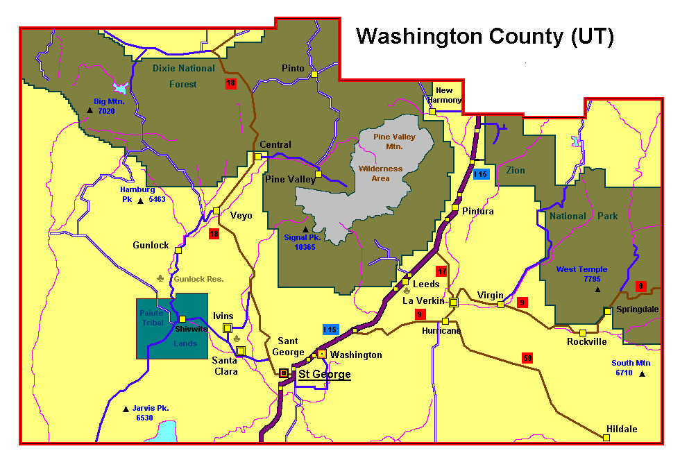
Washingtoncounty ut.png - Dk4hb~commonswiki
Cedar Breaks NM.JPG - Nick

Three Mile Canyon.jpg - Axcordion~commonswiki

Bull Fire 2006.jpg - Axcordion~commonswiki

Lava fall aspen.jpg - Axcordion~commonswiki
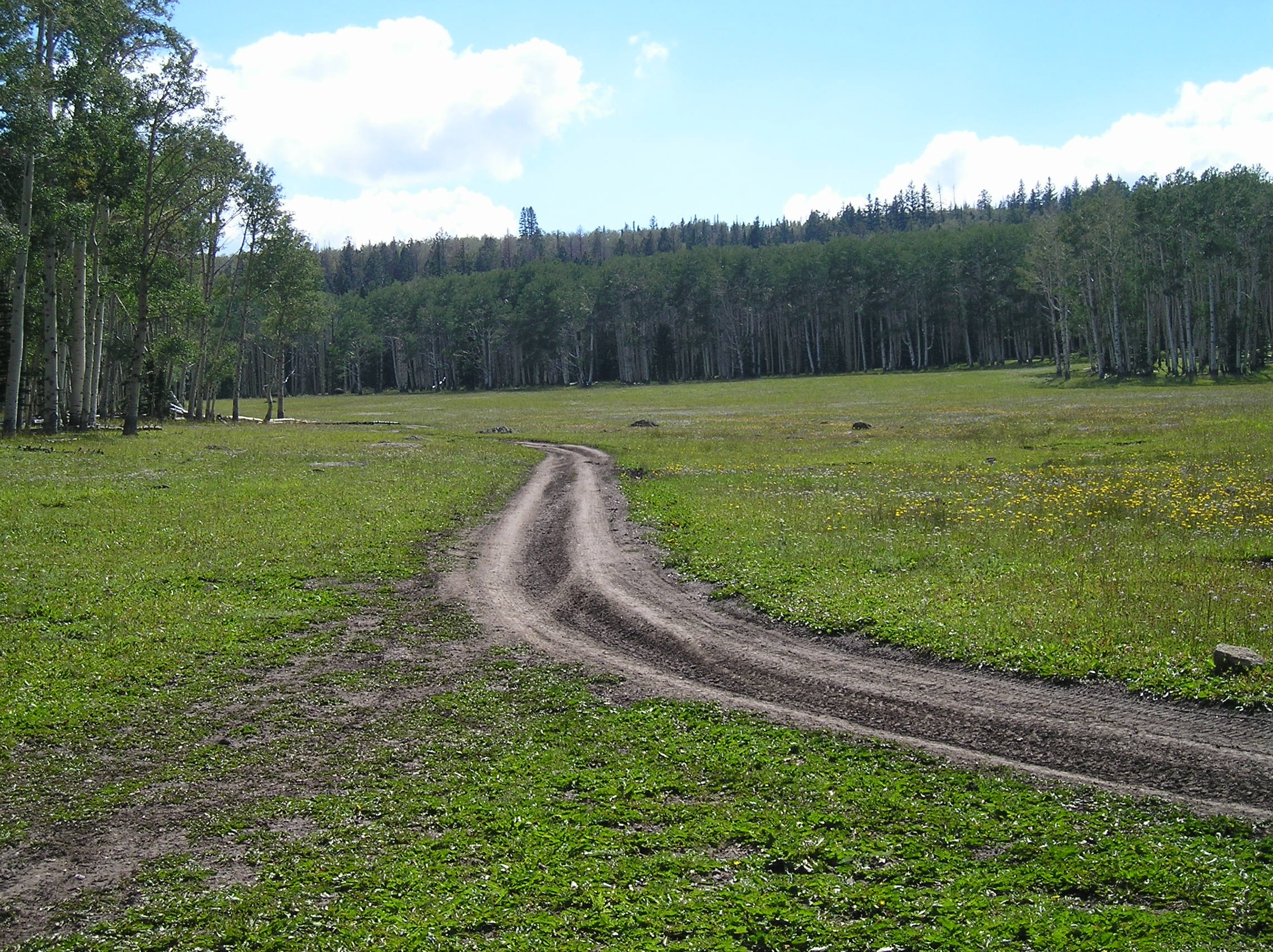
ORV Trail Dixie.JPG - Axcordion~commonswiki

Sand Creek.jpg - Axcordion~commonswiki

Dixie Rockslide.jpg - Axcordion~commonswiki

Dixie NF.JPG - Urdangaray
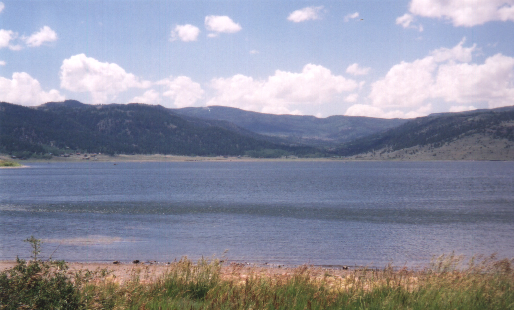
PanguitchLake original.jpg - DeFaultRyan

Dudley Leavitt homestead Ox Valley Washington County Utah.jpeg - MarmadukePercy

SMOKE FROM LUMBER MILL'S "TEEPEE" BURNER OBSCURES ADMINISTRATION BUILDING - NARA - 544970.jpg - US National Archives bot

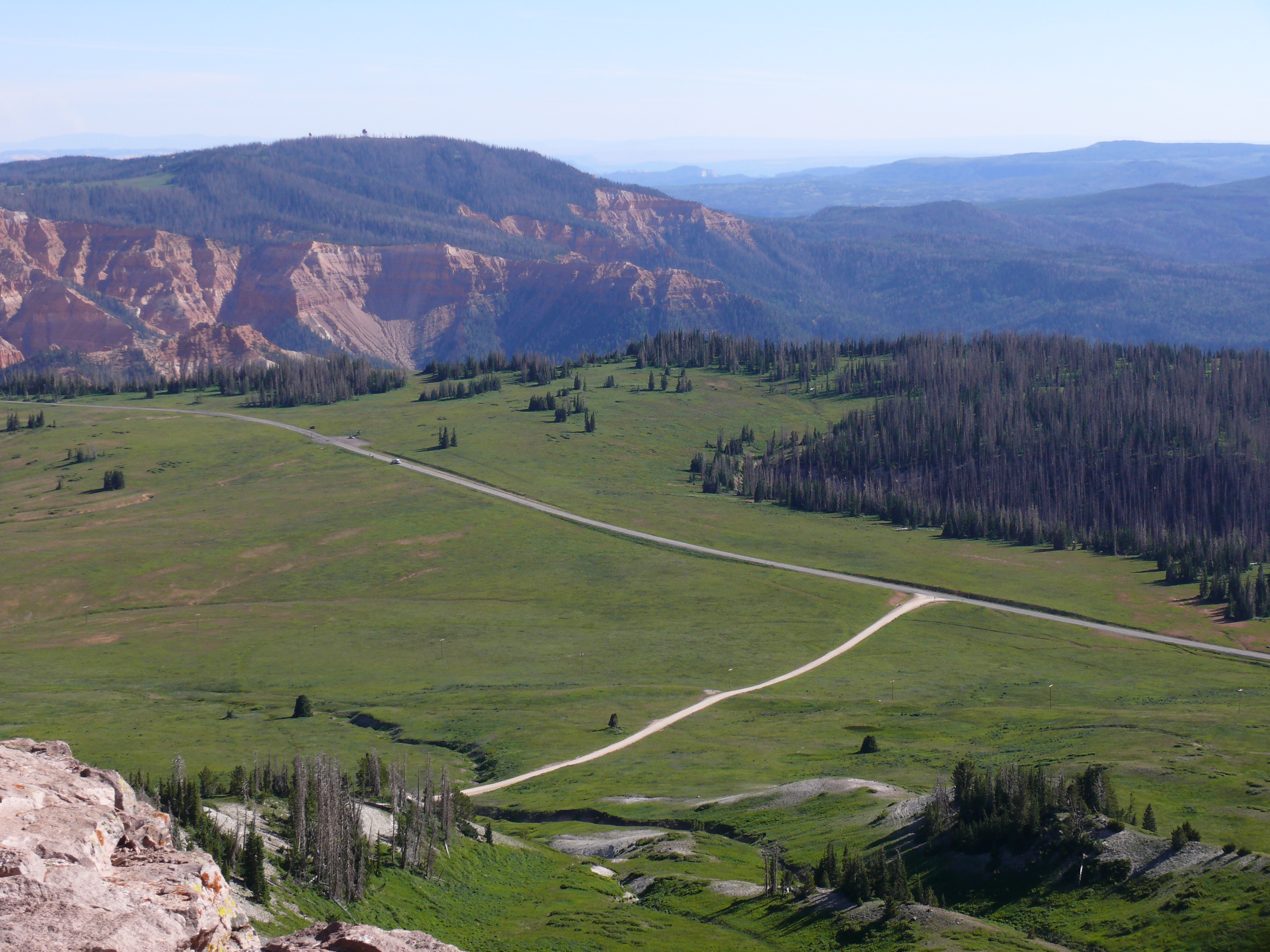
Dixie national forest boulder mountain UT 0004 (6).JPG - H-stt

Capitalreef.jpg - File Upload Bot (Magnus Manske)

Mtcamel2.jpg - MGA73bot2

Powell Point from Bryce Canyon (3685122940).jpg - File Upload Bot (Magnus Manske)

Powell Point (3685122652).jpg - File Upload Bot (Magnus Manske)

Powell Point (3680193736).jpg - File Upload Bot (Magnus Manske)

Mesa (2279658051).jpg - File Upload Bot (Magnus Manske)

Butte (2280444190).jpg - File Upload Bot (Magnus Manske)

Scenic Byway 12 (2279648517).jpg - File Upload Bot (Magnus Manske)

Steep grades - sharp curves (2279651479).jpg - File Upload Bot (Magnus Manske)

State Route 12 (2280426320).jpg - File Upload Bot (Magnus Manske)

Utah State Route 12 (2280422590).jpg - File Upload Bot (Magnus Manske)

2013-09-21 13 13 12 View east along Utah State Route 12 near milepost 2.6.JPG - Famartin

View of Dixie National Forest southwest of UT-14 20110813 1.jpg - DXR

View of Dixie National Forest southwest of UT-14 alt 20110813 1.jpg - DXR

View of UT-14 in Dixie National Forest 20110813 1.jpg - DXR

Cottonwood Canyon Wilderness (15101828616).jpg - Wilfredor

Cottonwood Canyon Wilderness (15101826616).jpg - Wilfredor

Brian Head Peak summit trail.jpg - Fredlyfish4

Cedar Breaks from Brian Head Peak.jpg - Fredlyfish4
Brian Head Peak view 2.jpg - Fredlyfish4

Brian Head Peak view 3.jpg - Fredlyfish4

Once a Ranch, Panquitch, UT 9-09 (21053816012).jpg - James Allison

Rd12, between Escalante and Boulder - panoramio.jpg - Panoramio upload bot

Boulder Mt. Trees - panoramio.jpg - Panoramio upload bot

Boulder Mt. - panoramio.jpg - Panoramio upload bot
Birches in Utah's Dixie National Forest LCCN2011630963.tif - Fæ

Temple and Honeymoon Trails - Flickr - brewbooks.jpg - Josve05a

Boulder Mountain Overlook dyeclan.com - panoramio.jpg - Panoramio upload bot

Boulder Mountain Overlook dyeclan.com - panoramio (1).jpg - Panoramio upload bot

Capitol Reef from Dixie Forest - Flickr - brewbooks.jpg - Josve05a

Dixie National Forest - Flickr - brewbooks.jpg - Josve05a

Dixie National Forest - Flickr - brewbooks (1).jpg - Josve05a

Dixie National Forest - Flickr - brewbooks (2).jpg - Josve05a

Dixie National Forest - Flickr - brewbooks (3).jpg - Josve05a

Dixie National Forest - Flickr - brewbooks (4).jpg - Josve05a

Bakeskillet Lake - panoramio.jpg - Panoramio upload bot

Blazin Trees - panoramio.jpg - Panoramio upload bot

Agaricus amicosus 166389.jpg - Peter G Werner

Garfield County, UT, USA - panoramio (1).jpg - Panoramio upload bot

Garfield County, UT, USA - panoramio (5).jpg - Panoramio upload bot

016 - Table Cliffs Plateau (10-14-11) -01 (6273234866).jpg - Fæ

016 - Table Cliffs Plateau (10-14-11) -02b (6273245376).jpg - Fæ

Mammoth Creek, Dixie Mountains, UT 9-09 (8639505685).jpg - Fæ

Trail to Duck Creek Ice Cave, dyeclan.com - panoramio.jpg - Panoramio upload bot

Trail to Duck Creek Ice Cave, dyeclan.com - panoramio (1).jpg - Panoramio upload bot

Duck Creek Ice Cave, dyeclan.com - panoramio.jpg - Panoramio upload bot

Trail to Cascade Falls, dyeclan.com - panoramio.jpg - Panoramio upload bot

Trail to Cascade Falls, dyeclan.com - panoramio (1).jpg - Panoramio upload bot

Trail to Cascade Falls, dyeclan.com - panoramio (2).jpg - Panoramio upload bot

Trail to Cascade Falls, dyeclan.com - panoramio (3).jpg - Panoramio upload bot

Trail to Cascade Falls, dyeclan.com - panoramio (4).jpg - Panoramio upload bot

Cascade Falls, dyeclan.com - panoramio.jpg - Panoramio upload bot

View of Cedar Breaks from Rattlesnake Creek Trail, DyeClan.com - panoramio.jpg - Panoramio upload bot

View of Cedar Breaks from Rattlesnake Creek Trail, DyeClan.com - panoramio (1).jpg - Panoramio upload bot

Looks like Rain (6283360709).jpg - Victorgrigas

GnarledWood.jpg - Squeegee99

Canyon Trip (237684129).jpeg - Rodrigo.Argenton

Rattlesnake Creek Trail Adventure (236802299).jpeg - Rodrigo.Argenton

Dixie National Forest, UT 2016.10.18 (7).jpg - NealVickers

Scenic Byway 12 - Cabin in Dixie National Forest - NARA - 7721904.jpg - US National Archives bot

Scenic Byway 12 - Curving Through Dixie National Forest on Boulder Mountain - NARA - 7721727.jpg - US National Archives bot

Wildcat Visitor Information Center ET5A5625 (29127166361).jpg - Ser Amantio di Nicolao

1960 Indexes to Aerial Photography for Dixie National Forest, Sheet 7 - DPLA - 858823646a808032a4e03376b487194b.jpg - DPLA bot

Tree Identification - Pine, Bristlecone - DPLA - e2bcf9ca95a5eaf3a034ddc1698cf0a0.jpg - DPLA bot

1976 Indexes to Aerial Photography for Dixie National Forest, Sheet 18 - DPLA - 211ae2aa3e46ec7467514e52727e1fde.jpg - DPLA bot

Tree Identification - Pine, Foxtail - DPLA - 8ad20ab049a83ccf397f02f7e81b0d64.jpg - DPLA bot

Powell Ranger Station, Oct 17.jpg - An Errant Knight

1999 Index to Aerial Photography for Dixie National Forest Sheet 3 - DPLA - d7954539d0ecb5545ef9376252c53600.jpg - DPLA bot

1999 Index to Aerial Photography for Dixie National Forest Sheet 5 - DPLA - 3906363fc278adf41ade053c7b4cf1ab.jpg - DPLA bot

1990 Index to Aerial Photography for Dixie National Forest Sheet 4 - DPLA - da24c74ea8e07b64c658525eb7efedba.jpg - DPLA bot

1977 Index to Aerial Photography for Dixie National Forest Sheet 5 - DPLA - eb36dfb036897715a2887d2a97693974.jpg - DPLA bot

1976 Index to Aerial Photography for Dixie National Forest Sheet 15 - DPLA - 3da291c964644b4030a4669011a436ea.jpg - DPLA bot
Salt and pepper 1337.jpg - Frypie

Blind Lake, Wayne County, Utah.jpg - Bob Palin

Lower Podunk Creek (2968795043).jpg - TheImaCow

Lower Podunk Creek (2968795011).jpg - TheImaCow

Recreation map of Dixie National Forest (1963).jpg - Muell132

Scenic Byway 12 Finding Your Way sign, Oct 17.jpg - An Errant Knight

Watersheds and Land Stewardship sign, Oct 17.jpg - An Errant Knight

East at 7777 ft summit on SR-12, Oct 17.jpg - An Errant Knight

7777 ft summit elevation on SR-12, Oct 17.jpg - An Errant Knight

North on Johns Valley Road (abt mm 4.5), Oct 17.jpg - An Errant Knight

North on Johns Valley Road (abt mm 8.1), Oct 17.jpg - An Errant Knight

East on SR-14 from Duck Creek Village, Oct 17.jpg - An Errant Knight

Lava flow south of SR-14, Oct 17.jpg - An Errant Knight

Lava flow north of SR-14, Oct 17.jpg - An Errant Knight

Southwest at Navajo Lake in Kane County, Utah, Oct 17.jpg - An Errant Knight

South at Navajo Lake in Kane County, Utah, Oct 17.jpg - An Errant Knight

S.R. 14 Lava Flow, Near Duck Creek, Utah (3942656769).jpg - Jo-Jo Eumerus

S.R. 14 Lava Flow, Near Duck Creek, Utah (3942664939).jpg - Jo-Jo Eumerus

S.R. 14 Lava Flow, Near Duck Creek, Utah (3943429928).jpg - Jo-Jo Eumerus

S.R. 14 Lava Flow, Near Duck Creek, Utah (3943437970).jpg - Jo-Jo Eumerus

S.R. 14 Lava Flow, Near Duck Creek, Utah (3943445562).jpg - Jo-Jo Eumerus

S.R. 14 Lava Flow, Near Duck Creek, Utah (3943449256).jpg - Jo-Jo Eumerus

S.R. 14 Lava Flow, Near Duck Creek, Utah (3943452184).jpg - Jo-Jo Eumerus

S.R. 14 Lava Flow, Near Duck Creek, Utah (3943455254).jpg - Jo-Jo Eumerus

Cinder Cone & Lava Flow signs on SR-14, Oct 17.jpg - An Errant Knight

South at Cedar Breaks Junction, Oct 17.jpg - An Errant Knight

West at Cedar Breaks Junction, Oct 17.jpg - An Errant Knight

East at Cedar Breaks Junction, Oct 17.jpg - An Errant Knight

North across Cedar Breaks Junction, Oct 17.jpg - An Errant Knight

SR-148 shield, Oct 17.jpg - An Errant Knight

Dixie National Forest sign on SR-148, Oct 17.jpg - An Errant Knight

South on SR-148 from northern terminus, Oct 17.jpg - An Errant Knight