×

Derriton Railway Viaduct.jpg - Lamberhurst

Points - old railway track - geograph.org.uk - 15207.jpg - GeographBot

Disused railway bridge, Wheal Emma, 1979 - geograph.org.uk - 65011.jpg - GeographBot

The Tarka Trail near Barnstaple - geograph.org.uk - 43080.jpg - GeographBot

Disused railway track near Great Nodden - Dartmoor - geograph.org.uk - 135770.jpg - GeographBot

Morwellham Quay - geograph.org.uk - 411788.jpg - GeographBot

Lustleigh, Dismantled railway line - geograph.org.uk - 436449.jpg - GeographBot

Disused Railway Bridge near Whitchurch - geograph.org.uk - 505225.jpg - GeographBot

Tarka Trail junction - geograph.org.uk - 567476.jpg - GeographBot

Bridge at Sourton - geograph.org.uk - 596486.jpg - GeographBot

Horses and bridge at Meldon - geograph.org.uk - 595864.jpg - GeographBot

Meavy, inclined plane - geograph.org.uk - 653515.jpg - GeographBot

Disused Railway Bridge - geograph.org.uk - 683010.jpg - GeographBot
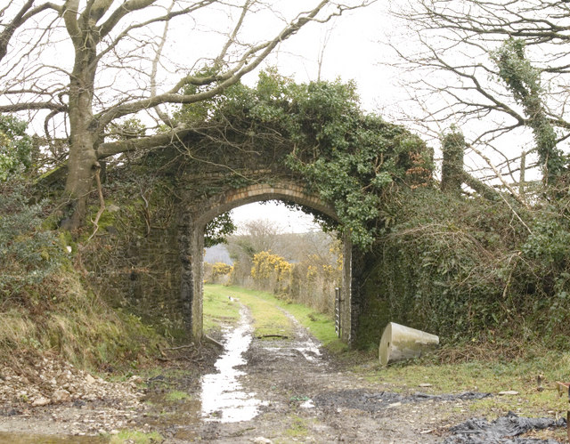
Railway Bridge, Narracott - geograph.org.uk - 731440.jpg - GeographBot

Railway bridge, Leigh Cross - geograph.org.uk - 798847.jpg - GeographBot

Along The Hatshill Wood Viaduct - geograph.org.uk - 883256.jpg - GeographBot

Bridge over the Old Railway Line - geograph.org.uk - 883052.jpg - GeographBot
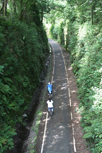
Cyleway from the Road Bridge - geograph.org.uk - 884391.jpg - GeographBot

On the Cycleway - geograph.org.uk - 883090.jpg - GeographBot

Road Bridge over the Cycleway - geograph.org.uk - 884378.jpg - GeographBot

The Plym Valley Cycleway - geograph.org.uk - 883230.jpg - GeographBot

Disused railway bridge - geograph.org.uk - 919495.jpg - GeographBot

Path that used to be a railway - geograph.org.uk - 919549.jpg - GeographBot

Demolished railway bridge. - geograph.org.uk - 933803.jpg - GeographBot

Railway Lines - geograph.org.uk - 934691.jpg - GeographBot

Old Railway Bridge (now cycleway) over Dalditch Lane - geograph.org.uk - 956783.jpg - GeographBot

Old Railway Bridge at Kersbrook - geograph.org.uk - 956794.jpg - GeographBot

Bridge on the Tarka Trail - geograph.org.uk - 995958.jpg - GeographBot

Overgrown railway track - geograph.org.uk - 994605.jpg - GeographBot

Tunnel at Lucas Terrace Plymouth - geograph.org.uk - 998466.jpg - GeographBot

Bridge on old railway line crosses road - geograph.org.uk - 1000445.jpg - GeographBot

Route of old Sidmouth railway line - geograph.org.uk - 1000442.jpg - GeographBot

Railway Bridge on Marsh Barton Road - geograph.org.uk - 1015944.jpg - GeographBot

Old Level Crossing Gate near Cadhay - geograph.org.uk - 1030851.jpg - GeographBot

Bridge over dismantled railway - geograph.org.uk - 1048080.jpg - GeographBot

Course of dismantled railway, Bickham - geograph.org.uk - 1048901.jpg - GeographBot

Disused railway bridge over the Avon - geograph.org.uk - 1048910.jpg - GeographBot

Horsebrook Cottages, Avonwick - geograph.org.uk - 1066401.jpg - GeographBot

Route of dismantled railway - geograph.org.uk - 1065155.jpg - GeographBot

Route of dismantled railway - geograph.org.uk - 1065176.jpg - GeographBot

Abandoned railway trackbed, near Copenhagen - geograph.org.uk - 1072012.jpg - GeographBot

Bridge across the Old Exmouth to Budleigh Salterton line - geograph.org.uk - 1114783.jpg - GeographBot

Bridge over cycleway 2 - geograph.org.uk - 1111469.jpg - GeographBot

Capel Lane bridge crosses the National Cycleway 2 - geograph.org.uk - 1111824.jpg - GeographBot

Castle lane 880m, Cycleway 2 - geograph.org.uk - 1111841.jpg - GeographBot
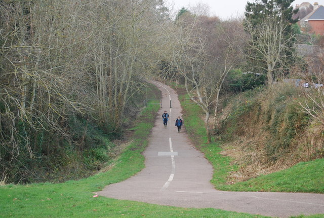
Cycleway 2 near Bradham Lane - geograph.org.uk - 1111480.jpg - GeographBot

Picnic Table by Cycleway 2 - geograph.org.uk - 1111847.jpg - GeographBot

Seat at the side of Cycleway 2 - geograph.org.uk - 1111838.jpg - GeographBot

Budleigh Salterton cycle path - geograph.org.uk - 1139466.jpg - GeographBot

Railway viaduct north of Budleigh Salterton - geograph.org.uk - 1139462.jpg - GeographBot

Bridge over now disused railway in the Otter Valley at Dotton - geograph.org.uk - 1164058.jpg - GeographBot

Disused railway line in the Otter Valley at Dotton - geograph.org.uk - 1164048.jpg - GeographBot

View north along the disused railway line and bridge in the Otter Valley at Dotton - geograph.org.uk - 1164070.jpg - GeographBot

View south along the disused railway line and bridge in the Otter Valley at Dotton - geograph.org.uk - 1164065.jpg - GeographBot

Bridge across the former branch line to Tipton St John - geograph.org.uk - 1180317.jpg - GeographBot

Railway bridge, near Knowle - geograph.org.uk - 1180703.jpg - GeographBot

Bridge over disused railway, Trusham - geograph.org.uk - 1215543.jpg - GeographBot

Bridge across the former railway line, at Littleham - geograph.org.uk - 1224828.jpg - GeographBot

Railway trackbed, near Higher Knowle - geograph.org.uk - 1224774.jpg - GeographBot

The Viaduct on the old dismantled railway - geograph.org.uk - 1224901.jpg - GeographBot

Buckland Monachorum, by the site of Grenofen viaduct - geograph.org.uk - 1233259.jpg - GeographBot

Laira Railway Bridge - geograph.org.uk - 1258529.jpg - GeographBot

Buckland Monachorum, site of Walkham viaduct - geograph.org.uk - 1279280.jpg - GeographBot

Disused railway line that used to go to Silverton Mill, looking towards main line at Ellerhayes - geograph.org.uk - 1276929.jpg - GeographBot

Disused railway line that used to go to Silverton Mill - geograph.org.uk - 1276915.jpg - GeographBot

River Otter, old railway bridge and fields near Tipton St John - geograph.org.uk - 1272203.jpg - GeographBot

Primrose Line in Woodleigh Wood - geograph.org.uk - 1297136.jpg - GeographBot

Across the Taw from the South West Coast Path - geograph.org.uk - 1331209.jpg - GeographBot

Cyclist on the Tarka Trail - geograph.org.uk - 1331542.jpg - GeographBot

Old railway bridge, now part of the National Cycle Routes 3 and 27 - geograph.org.uk - 1345298.jpg - GeographBot

On the Tarka Trail - geograph.org.uk - 1345469.jpg - GeographBot

Tarka Trail - geograph.org.uk - 1346681.jpg - GeographBot

Tarka Trail approaching Taw Bridge - geograph.org.uk - 1349319.jpg - GeographBot

Cycleway approaching the new Taw Bridge - geograph.org.uk - 1357944.jpg - GeographBot

Disused railway line at Instow - geograph.org.uk - 1355640.jpg - GeographBot

Road bridge over the Tarka Trail - geograph.org.uk - 1359490.jpg - GeographBot

The Tarka Trail near Ashford - geograph.org.uk - 1358031.jpg - GeographBot

Bridge over the Tarka Trail, near Ashford - geograph.org.uk - 1360664.jpg - GeographBot

Bridge over the Tarka Trail - geograph.org.uk - 1360743.jpg - GeographBot

Dismantled Tramway - geograph.org.uk - 1365951.jpg - GeographBot

Dismantled bridge - geograph.org.uk - 1365966.jpg - GeographBot

Gradient post on the Tarka Trail - geograph.org.uk - 1360709.jpg - GeographBot

Disused railway at Teigngrace - geograph.org.uk - 1371749.jpg - GeographBot

Disused railway line seen from Summer Lane bridge - geograph.org.uk - 1371697.jpg - GeographBot

Path, Tiverton - geograph.org.uk - 1397859.jpg - GeographBot

Track of GWR line to Foggintor Quarry - geograph.org.uk - 1394812.jpg - GeographBot

Bridge, on the former Moretonhampstead railway line - geograph.org.uk - 1418245.jpg - GeographBot

Former railway trackbed, near Wortha Mill - geograph.org.uk - 1476641.jpg - GeographBot

Railway bridge (track dismantled) north of Exbridge - geograph.org.uk - 1534651.jpg - GeographBot

Gradient Post on the Tarka Trail - geograph.org.uk - 1554129.jpg - GeographBot

Laira Railway Bridge - geograph.org.uk - 1555849.jpg - GeographBot

Old railway bridge over the River Avon - geograph.org.uk - 1562303.jpg - GeographBot

Remains of old railway bridge - geograph.org.uk - 1579997.jpg - GeographBot

Disused railway line between Teigngrace and Ventiford Bridge - geograph.org.uk - 1660043.jpg - GeographBot

Heathfield clay works beside the disused railway line - geograph.org.uk - 1660233.jpg - GeographBot

Path of Teign Valley Railway towards Crockham Bridge - geograph.org.uk - 1750709.jpg - GeographBot

Disused railway bridge, near Exbridge - geograph.org.uk - 1765171.jpg - GeographBot

View of Old Railway Line, Stoke Canon - geograph.org.uk - 1771152.jpg - GeographBot

Cann Viaduct.jpg - Nilfanion

Laira Bridge Plymouth, UK.jpg - Ras67

Tarka Trail on Clay Moor.jpg - Nilfanion

Landcross tunnel.jpg - Nilfanion

Bridge over railway line at Cann Quarry.jpg - Nilfanion

Old Laira Railway Bridge.JPG - Jabarney

Devon Great Consols Railway.jpg - Nilfanion

P&DR map after Lee Moor.gif - Afterbrunel

Tarka Trail passing Landcross (geograph 4323581).jpg - WereSpielChequers

Exposed rock in cutting on disused railway at Landcross (geograph 4323589).jpg - WereSpielChequers

Ham Bridge (geograph 2439711).jpg - WereSpielChequers

Cycle track in plymbridge woods - panoramio.jpg - Panoramio upload bot
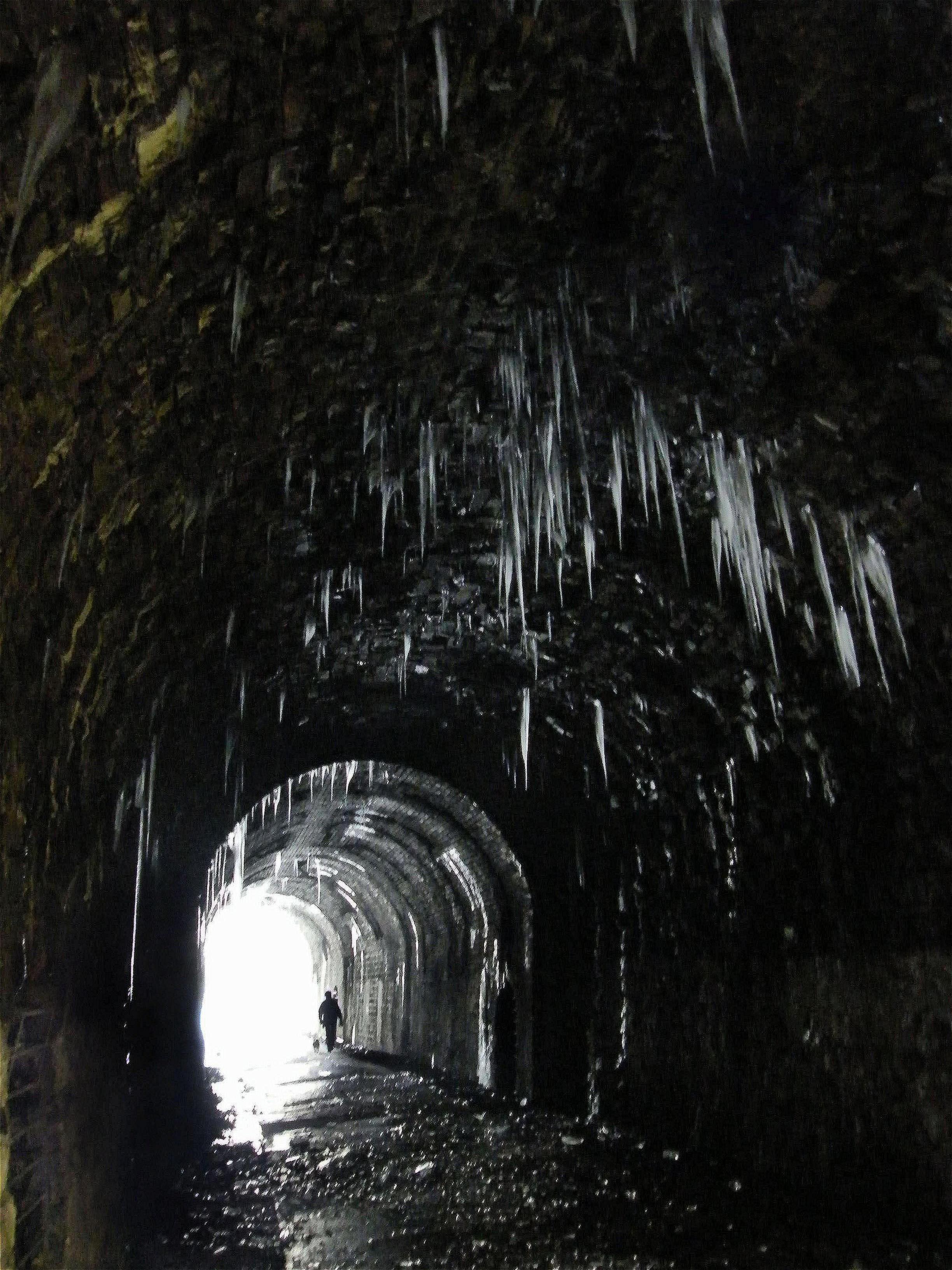
Tunnel In Winter - panoramio.jpg - Panoramio upload bot

Fitzroy Road (505691359).jpg - Tyler ser Noche

Fitzroy Road (505684431).jpg - Tyler ser Noche

Following the line (505682679).jpg - Tyler ser Noche

Molesworth Road (506468233).jpg - Sebastian Wallroth

Paviland Grange (506436000).jpg - Tyler ser Noche

Bridge over the River Plym (2865415039).jpg - Tyler ser Noche

Old railway path? (2866249770).jpg - Tyler ser Noche
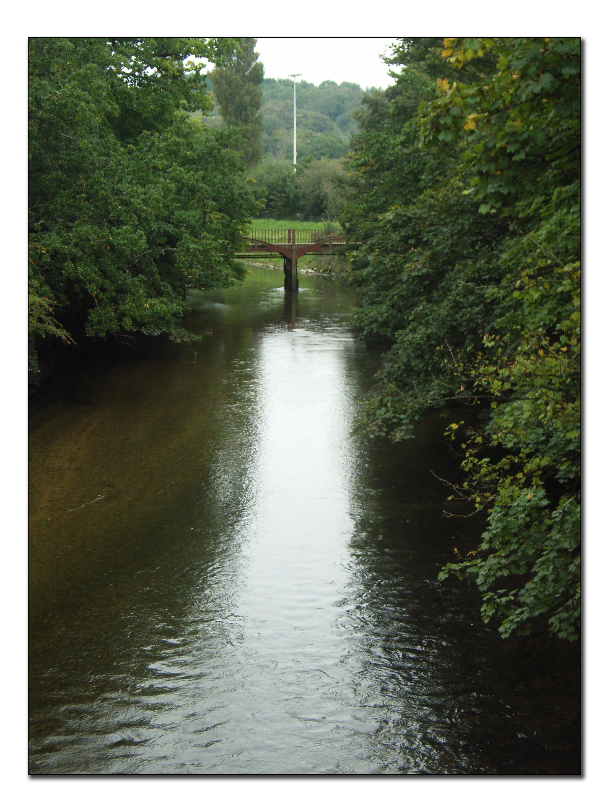
Bridge over the River Plym (2865428489).jpg - Tyler ser Noche

Bridge over the River Plym (2866264578).jpg - Tyler ser Noche

Old railway path? (2866270404).jpg - Tyler ser Noche

Old railway tracks in Braunton - geograph.org.uk - 5117842.jpg - GeographBot

Disused tracks, North Quay - geograph.org.uk - 5705695.jpg - GeographBot

Former rail track, North Quay - geograph.org.uk - 5617125.jpg - GeographBot
❮
❯


