×

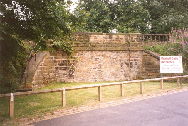
Former railway bridge abutment, Leadwell Lane - geograph.org.uk - 6222013.jpg - GeographBot

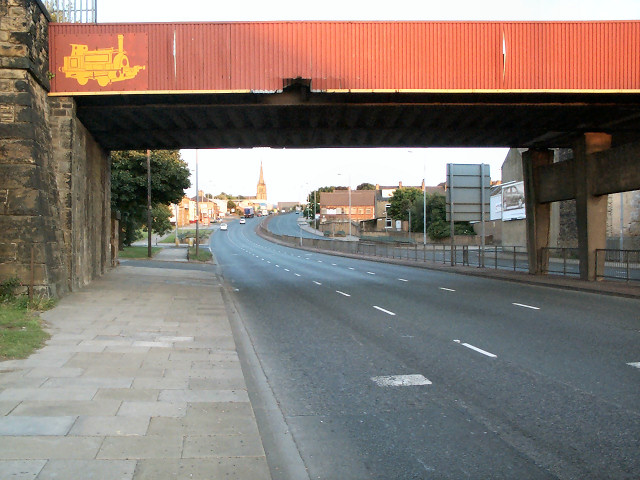
Southern bridge abutment, Leadwell Lane (A654) - geograph.org.uk - 4297086.jpg - GeographBot

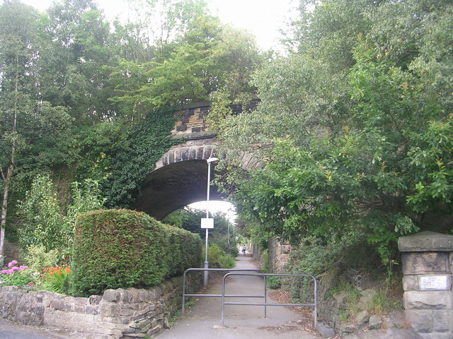
End of the Line^ - Leadwell Lane - geograph.org.uk - 841990.jpg - GeographBot

Bridge abutment, Willow Lane - geograph.org.uk - 7413418.jpg - GeographBot

Disused railway bridge over Calder and Hebble Navigation - geograph.org.uk - 8260.jpg - GeographBot

Bridge, Wood Lane - geograph.org.uk - 39493.jpg - GeographBot

Beware^ Lots of obstacles - geograph.org.uk - 71330.jpg - GeographBot

Railway bridge, former Queensbury station - geograph.org.uk - 39550.jpg - GeographBot

Railway bridge, former Queensbury station - geograph.org.uk - 39940.jpg - GeographBot

Wakefield Road - geograph.org.uk - 35239.jpg - GeographBot

Tunnel beneath dismantled railway at Wilton Park. - geograph.org.uk - 54180.jpg - GeographBot

Disused viaduct in Newmiller Dam Country Park. - geograph.org.uk - 144202.jpg - GeographBot

Former railway Bridge at Scout Hill, Dewsbury - geograph.org.uk - 196238.jpg - GeographBot

Wood lane between the railway bridges, Kirkheaton - geograph.org.uk - 196975.jpg - GeographBot

Railway Bridge over Thornhills Beck Lane, Clifton - geograph.org.uk - 250126.jpg - GeographBot

Disused railway bridge over River Aire - geograph.org.uk - 315420.jpg - GeographBot

Underside of disused railway bridge over River Aire - geograph.org.uk - 315426.jpg - GeographBot

Bridge abutment, Rastrick - geograph.org.uk - 348152.jpg - GeographBot

Disused Railway Bridge crossing the Calder and Hebble Navigation Canal - geograph.org.uk - 342579.jpg - GeographBot

New Road, Old Snydale - geograph.org.uk - 368679.jpg - GeographBot

Disused railway bridge, Victoria Street, Heckmondwike - geograph.org.uk - 398917.jpg - GeographBot

Abutment of former railway bridge - geograph.org.uk - 400700.jpg - GeographBot

Abutment of former railway bridge - geograph.org.uk - 400705.jpg - GeographBot

Disused railway bridge - geograph.org.uk - 596157.jpg - GeographBot

Disused Railway Bridge over Birksland Street - geograph.org.uk - 632377.jpg - GeographBot

Disused Railway Bridge over Hammerton Street - geograph.org.uk - 632380.jpg - GeographBot

Detail of railway viaduct, Thornhills Beck Lane, Clifton - geograph.org.uk - 695507.jpg - GeographBot

End of the Line^ - Shetcliffe Lane - geograph.org.uk - 701280.jpg - GeographBot

Blocked-up railway bridge (MVN2-198), Steanard Lane, Hopton - geograph.org.uk - 725918.jpg - GeographBot

Bridge BRB DUH43 - Birksland Street - geograph.org.uk - 726901.jpg - GeographBot

Bridge BRB BSL 59A - Ludlam Street - off Mill Lane - geograph.org.uk - 744208.jpg - GeographBot

Former Bridge over Leeds Road - geograph.org.uk - 762591.jpg - GeographBot

Former Bridge BRB-BHS 07 - Lower Wyke Lane - geograph.org.uk - 772287.jpg - GeographBot

Remains of Bridge on Dismantled Railway - Woodhall Road - geograph.org.uk - 789165.jpg - GeographBot

Former Bridge BRPB BHS 05 - Huddersfield Road, Wyke - geograph.org.uk - 792720.jpg - GeographBot

Disused rail bridge over the River Calder - geograph.org.uk - 908868.jpg - GeographBot

Disused railway bridge - geograph.org.uk - 909313.jpg - GeographBot

Railway Bridge - Wakefield Road - looking towards Bradford - geograph.org.uk - 1034385.jpg - GeographBot

Bridge Over the River Calder - geograph.org.uk - 1061146.jpg - GeographBot

Bridge Over the River Calder - geograph.org.uk - 1061158.jpg - GeographBot

Disused Rail Bridge over Dewsbury Canal Arm - geograph.org.uk - 1296735.jpg - GeographBot

Line of Dismantled Railway - BRB BHS 07 - Lower Wyke Lane - geograph.org.uk - 1723714.jpg - GeographBot

West Wood Road railway bridge, Middleton - geograph.org.uk - 1761296.jpg - GeographBot

No Entry (2423744208).jpg - INeverCry

Tower blocks and the Wheatley viaduct (2661465313).jpg - INeverCry

Meal Bridge (4849841947).jpg - INeverCry

Tunnel beneath dismantled railway at Wilton Park. - geograph.org.uk - 54180 (cropped).jpg - Saga City

Wilton Park Tunnel (69925361).jpeg - DarwIn

Former railway bridge, Cold Royd Lane, Dalton - geograph.org.uk - 2013621.jpg - GeographBot

Where's the bridge gone^ - geograph.org.uk - 2014264.jpg - GeographBot

Detail of Rawroyds railway bridge, Elland - geograph.org.uk - 2228832.jpg - GeographBot

Bridge BRPB - DUH 46A - Square Street - geograph.org.uk - 2262999.jpg - GeographBot

Bridge BRB SHI-30 - top of Ballantyne Road - geograph.org.uk - 2568933.jpg - GeographBot

Barwick Road heading east - geograph.org.uk - 2782483.jpg - GeographBot

Abandoned trackbed on railway bridge, Castleford.jpg - Rcsprinter123

Remains of Bridge BRB LIV 3 - 41 - Spen Bank - geograph.org.uk - 3026856.jpg - GeographBot

Ordnance Survey Flush Bracket 10841 - geograph.org.uk - 3039871.jpg - GeographBot

Buttress of former railway bridge - geograph.org.uk - 3054047.jpg - GeographBot

Barwick and Leeds Roads meet - geograph.org.uk - 3054055.jpg - GeographBot

Disused Railway Bridge LIV3 41 - geograph.org.uk - 3252196.jpg - GeographBot

A643 passes under dismantled railway - geograph.org.uk - 3343011.jpg - GeographBot

Site of Gomersal station bridge - geograph.org.uk - 3821795.jpg - GeographBot

Disused railway bridge over the River Calder - geograph.org.uk - 3857085.jpg - GeographBot

Bridge BRB ROY 38 - Headfield Road - geograph.org.uk - 3932742.jpg - GeographBot

Disused Railway Bridge BRB DUH-49 - geograph.org.uk - 4277366.jpg - GeographBot

The Remains of West Bowling Railway Viaduct BRB DUH50, Ripley Road - geograph.org.uk - 4277397.jpg - GeographBot

Disused Railway Bridge BRB DUH48, Barnard Road - geograph.org.uk - 4278724.jpg - GeographBot

Overgrown railway bridge abutment - geograph.org.uk - 4617940.jpg - GeographBot

Headley Lane with old railway bridge - geograph.org.uk - 4618056.jpg - GeographBot

Old bridge abutments, Station Road, Queensbury - geograph.org.uk - 4618482.jpg - GeographBot

Former railway bridge over Woodhall Road - geograph.org.uk - 4772453.jpg - GeographBot

Dismantled Bridge on Woodhall Lane (2) - geograph.org.uk - 4792226.jpg - GeographBot

Abutments of an old railway bridge - geograph.org.uk - 5084794.jpg - GeographBot

Railway bridge and wall, Oldfield Lane - geograph.org.uk - 5274598.jpg - GeographBot

OS Cut Benchmark on Disused Railway Bridge, Hammerton Street - geograph.org.uk - 5449600.jpg - GeographBot

Disused Railway Bridge BRB DUH45, Hammerton Street - geograph.org.uk - 5454824.jpg - GeographBot

OS Cut Benchmark on Disused Railway Bridge, Bowling Back Lane - geograph.org.uk - 5454874.jpg - GeographBot

Disused Railway Bridge BRB DUH46, Bowling Back Lane - geograph.org.uk - 5454892.jpg - GeographBot

OS Cut Benchmark on Bridge Abutment, Square Street - geograph.org.uk - 5454905.jpg - GeographBot

Railway Bridge BRPB DUH46A Abutments, Square Street - geograph.org.uk - 5454942.jpg - GeographBot

Disused Railway Bridge BRB DUH47, Wakefield Road - geograph.org.uk - 5454952.jpg - GeographBot

Abutment of Former Railway Bridge BHS-05, Huddersfield Road - geograph.org.uk - 5634540.jpg - GeographBot

Abutment of former Railway Bridge LBE3-6, Hammerton Street - geograph.org.uk - 5634623.jpg - GeographBot

Shipley, under a broken bridge - geograph.org.uk - 5940842.jpg - GeographBot

Shipley, view along a dangerous bridge - geograph.org.uk - 5940844.jpg - GeographBot

Former railway bridge on Woodhall Road - geograph.org.uk - 5957562.jpg - GeographBot

Footpath under a disused railway line - geograph.org.uk - 6184306.jpg - GeographBot

Disused railway bridge over the Aire at Horsforth - geograph.org.uk - 6214573.jpg - GeographBot

Greaves Road dismantled railway bridge at Crackenedge Lane junction - geograph.org.uk - 6329094.jpg - GeographBot

Disused railway viaduct over the river Colne at Dalton - geograph.org.uk - 6379660.jpg - GeographBot

Former railway bridge abutment on Shetcliffe Lane, Bradford - geograph.org.uk - 6400671.jpg - GeographBot

Disused railway bridge over Redcote Lane, looking west - geograph.org.uk - 6424338.jpg - GeographBot

Railway bridge on the disused Meltham Branch Line, Huddersfield - geograph.org.uk - 6639875.jpg - GeographBot

Former Railway Bridge Abutment, Shetcliffe Lane, Bradford - geograph.org.uk - 6740186.jpg - GeographBot

Old railway bridge abutment, Idle high street - geograph.org.uk - 6832111.jpg - GeographBot
❮
❯


