Wikimedi'Òc
Modes d'emploi


Cet album fait partie des albums


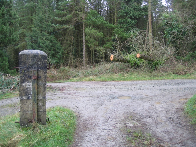
Track Junction in Pentraeth Forest - geograph.org.uk - 323624.jpg - GeographBot

Track to Ty Mawr - geograph.org.uk - 322830.jpg - GeographBot

Junction of access lane with the Caim-Mariandyrys road - geograph.org.uk - 374748.jpg - GeographBot

The junction of the Penmon road with the track leading to Flagstaff Quarry - geograph.org.uk - 377565.jpg - GeographBot

Path below Pont Britannia - geograph.org.uk - 388419.jpg - GeographBot

Track to Flagstaff Quarry - geograph.org.uk - 417360.jpg - GeographBot

Farm lane at the back of Plas Llanddyfnan - geograph.org.uk - 515909.jpg - GeographBot

Parting of the ways - geograph.org.uk - 516185.jpg - GeographBot

View west towards the A5025 along the Tyddyn-igin farm track - geograph.org.uk - 747464.jpg - GeographBot

Track to Plas Cymyran which is also part of the Anglesey Coastal Path - geograph.org.uk - 769692.jpg - GeographBot

View north along the eastern periphery road - geograph.org.uk - 772150.jpg - GeographBot

Old mine track running along the base of Mynydd Parys - geograph.org.uk - 1195665.jpg - GeographBot

Farm road at Llanddygfael-hir - geograph.org.uk - 1255440.jpg - GeographBot

Woodland track to the beach - geograph.org.uk - 2331701.jpg - GeographBot

Forest Track - geograph.org.uk - 2594077.jpg - GeographBot

Track through Newborough Forest - geograph.org.uk - 2595036.jpg - GeographBot

Track through Newborough Forest - geograph.org.uk - 2595042.jpg - GeographBot

Tracks through Newborough Forest - geograph.org.uk - 2595051.jpg - GeographBot

Walkers on the forest Track, Newborough Forest - geograph.org.uk - 4871670.jpg - GeographBot