Wikimedi'Òc
Modes d'emploi

Cet album fait partie des albums
Cet album photos contient les sous-albums suivants :


StAndrewsOM.jpg - Boing! said Zebedee

Closed for Business, Blundell Street, Liverpool - geograph.org.uk - 976025.jpg - GeographBot

Ripe for development - an area of old warehouses and depots south of Sparling Street , Liverpool 1 - geograph.org.uk - 975409.jpg - GeographBot

Ruins of "Allerton" or Obelisk House - geograph.org.uk - 1226181.jpg - GeographBot

Derelict hut near Liverpool Cruise Terminal - 2012-02-29.jpg - Rept0n1x

Derelict buildings, St Mary's Road, Garston.jpg - Rept0n1x

Derelict building on Smithdown Road, Liverpool (1).JPG - Rept0n1x

Derelict shack near Liverpool Cruise Terminal (2).JPG - Rept0n1x

Derelict shack near Liverpool Cruise Terminal (1).JPG - Rept0n1x

Derelict building on Blackstock Street, Liverpool L3 (1).JPG - Rept0n1x

Derelict building on Blackstock Street, Liverpool L3 (2).JPG - Rept0n1x
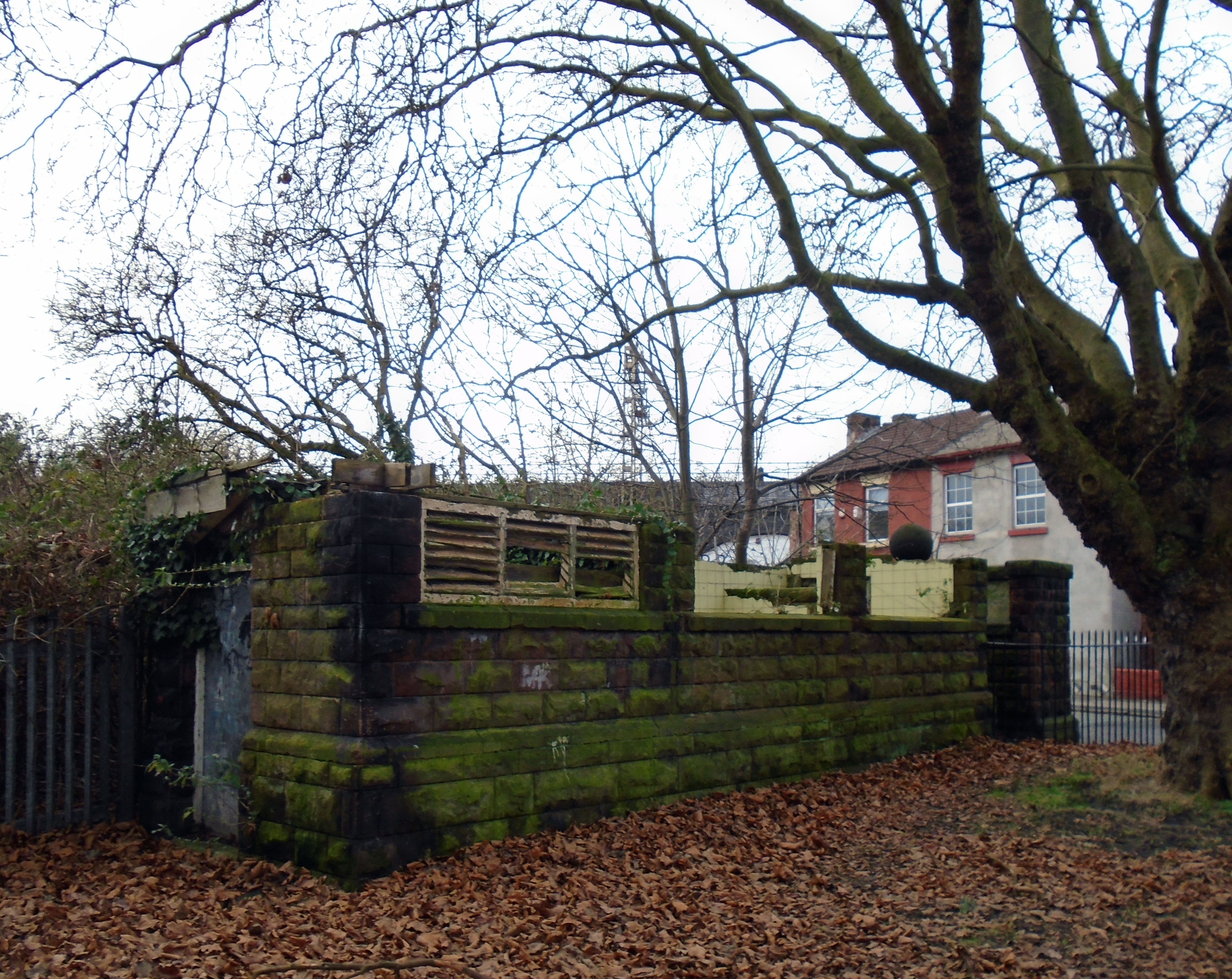
Remains of Garston baths.jpg - Rodhullandemu

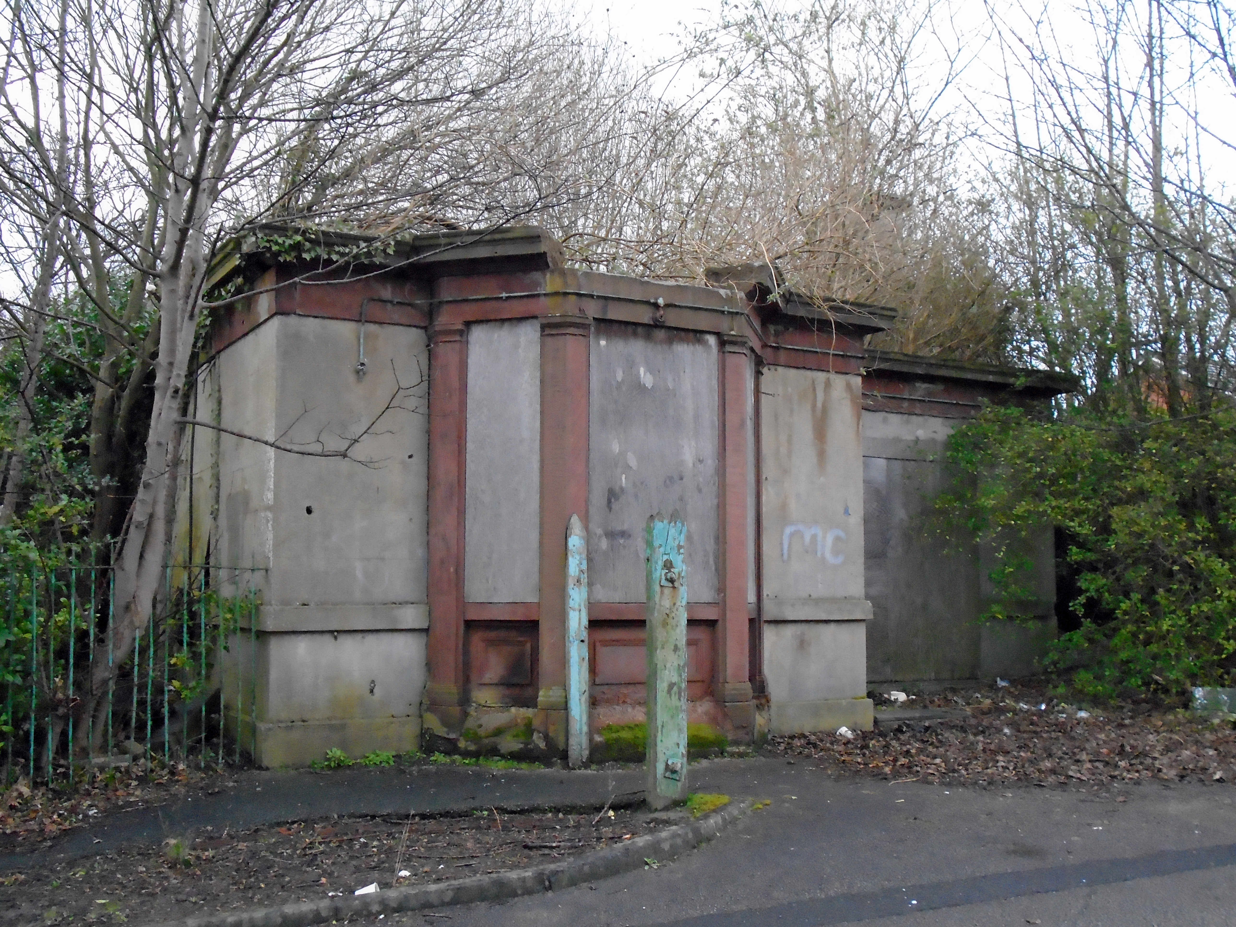
Remains of public toilets, Garston.jpg - Rodhullandemu
Derelict building, Wavertree Playground.jpg - Rodhullandemu
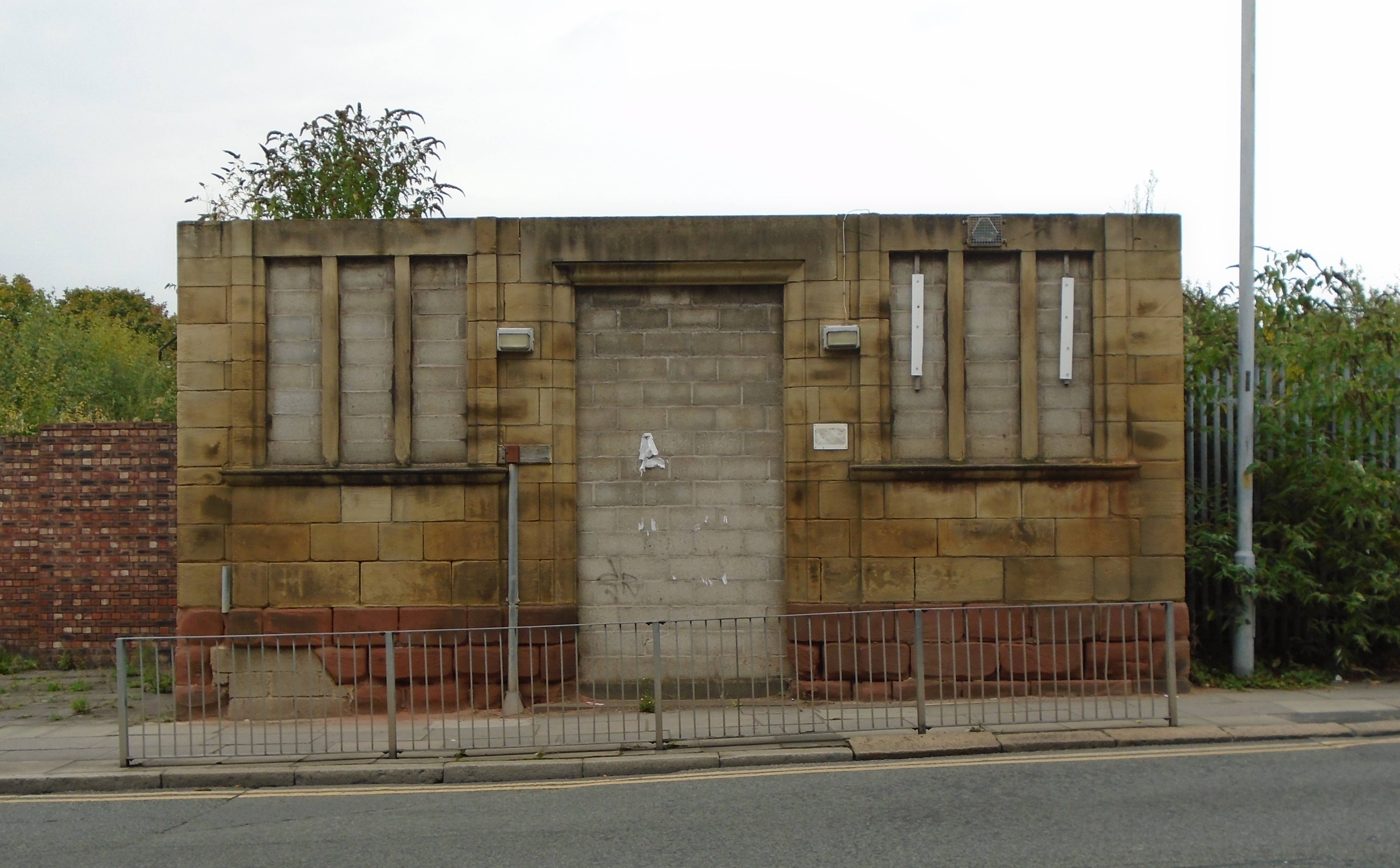
Lodge of Olive Mount Hospital.jpg - Rodhullandemu

74 Seel Street, Liverpool.jpg - Rodhullandemu

Derelict building, Priory Road-Dewsbury Road, Anfield.jpg - Rodhullandemu
The Derby, West Derby Road 2018.jpg - Rodhullandemu

Laundry And Stables At Allerton Tower.jpg - Liverpoolpics

Allerton Tower Orangery.jpg - Liverpoolpics

53°, Berry Street, Liverpool.jpg - Rodhullandemu

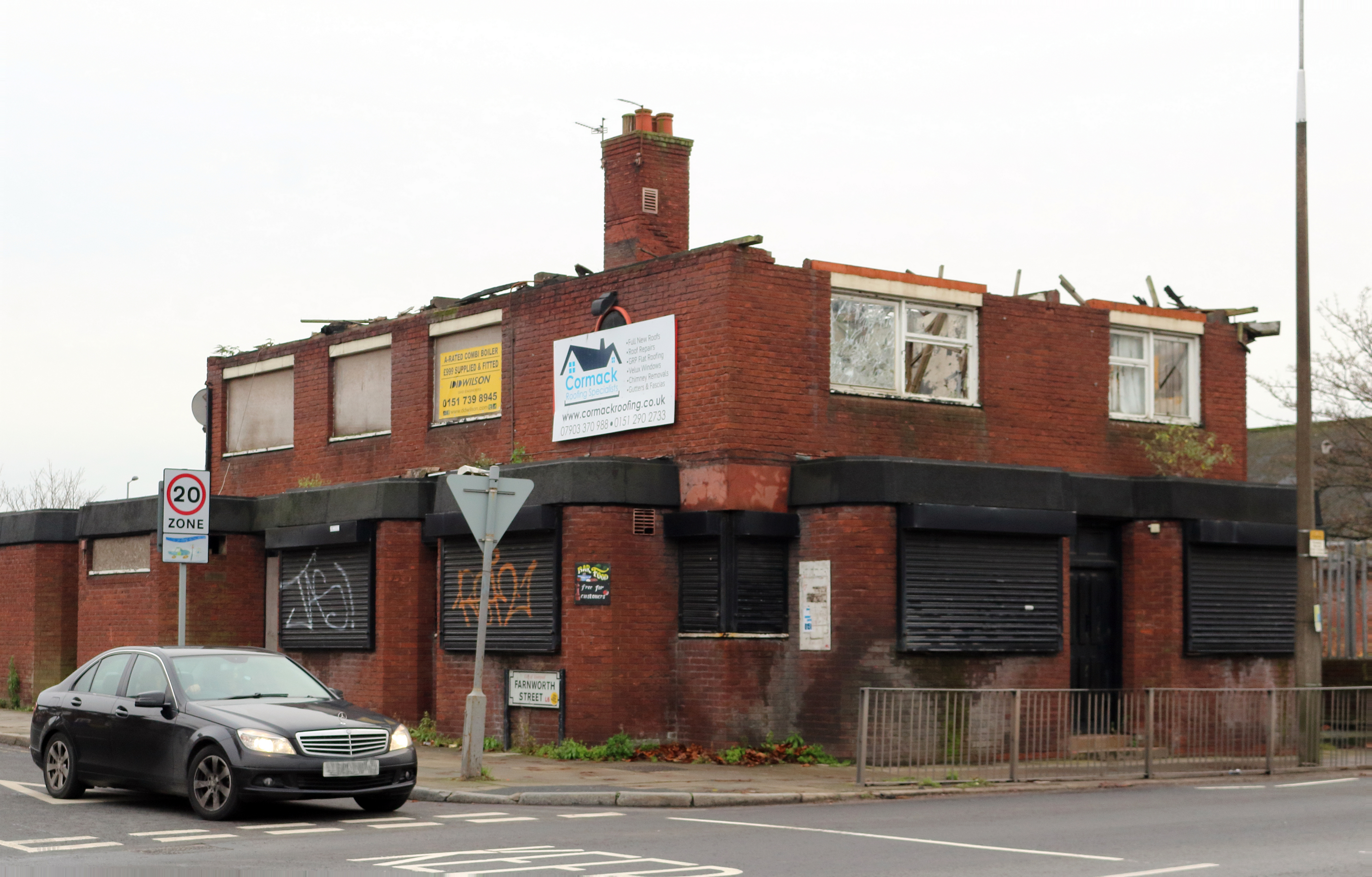
Derelict pub on Prescot Road - geograph.org.uk - 2853842.jpg - GeographBot

Derelict Stand Lodge - geograph.org.uk - 6453263.jpg - GeographBot