Wikimedi'Òc
Modes d'emploi

Cet album fait partie des albums
Cet album photos contient les sous-albums suivants :


Darfield - Village Club.jpg - Skinsmoke
Grassy Field - geograph.org.uk - 117755.jpg - GeographBot

Clouds and Cables - geograph.org.uk - 238654.jpg - GeographBot
Low Valley Bridleway - geograph.org.uk - 238663.jpg - GeographBot
Missing Bridge - geograph.org.uk - 238672.jpg - GeographBot

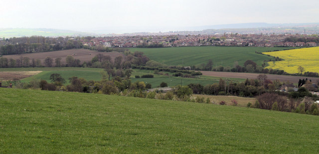
Approaching Edderthorpe from Darfield - geograph.org.uk - 329804.jpg - GeographBot

A635 blocked by overturned glass bottle trailer on Saltersbrook Road Darfield - geograph.org.uk - 475532.jpg - GeographBot

After the flood river Dearne - geograph.org.uk - 479714.jpg - GeographBot
Flooded river Dearne with Little Houghton Millhouse in background - geograph.org.uk - 479710.jpg - GeographBot

Prologis shed ex Houghton Main site with flooded River Dearne - geograph.org.uk - 474259.jpg - GeographBot

River Dearne Flood with Prologis development - geograph.org.uk - 474248.jpg - GeographBot

A635 road flooded at Darfield Bridge - geograph.org.uk - 480814.jpg - GeographBot

Grimethorpe 'muck' stack from Darfield - geograph.org.uk - 481943.jpg - GeographBot
Darfield from former 'muck stack'. - geograph.org.uk - 493136.jpg - GeographBot

Darfield from former site of Dearne Valley Colliery. - geograph.org.uk - 493140.jpg - GeographBot

Rape crop Darfield. - geograph.org.uk - 493060.jpg - GeographBot

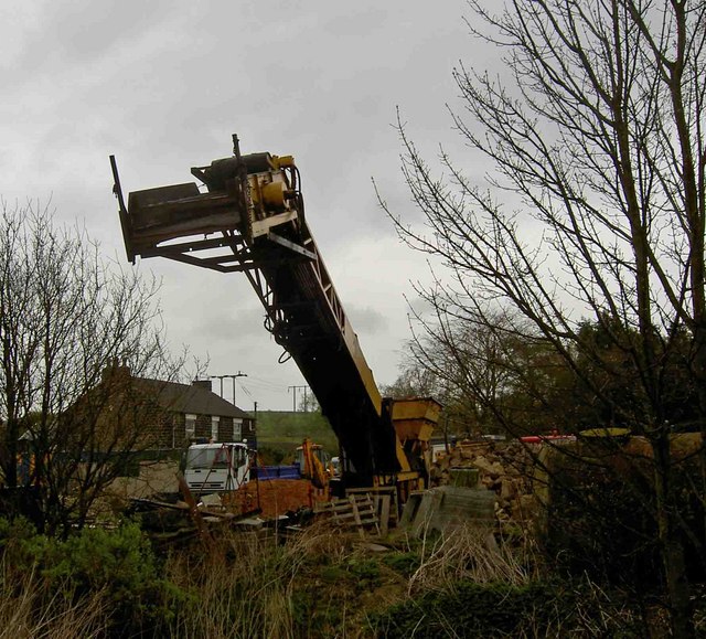
Tipper truck on site. - geograph.org.uk - 493276.jpg - GeographBot

Bottom Chapel. - geograph.org.uk - 502206.jpg - GeographBot

Darfield Ring. - geograph.org.uk - 502165.jpg - GeographBot

Darfield top chapel. - geograph.org.uk - 502196.jpg - GeographBot

Extension on Foulstone School. - geograph.org.uk - 502168.jpg - GeographBot

Gate to reclaimed 'muck stack'. - geograph.org.uk - 502231.jpg - GeographBot

Moodyhair. - geograph.org.uk - 502169.jpg - GeographBot

Temple Gym. - geograph.org.uk - 502212.jpg - GeographBot

Temporary fence to new school. - geograph.org.uk - 502210.jpg - GeographBot

The house of the rising sun. - geograph.org.uk - 502189.jpg - GeographBot

Welcome to Darfield. - geograph.org.uk - 502474.jpg - GeographBot

Zooming down Snape Hill. - geograph.org.uk - 502191.jpg - GeographBot

Edderthorpe Lane near Crook House. - geograph.org.uk - 517447.jpg - GeographBot

Edderthorpe benches. - geograph.org.uk - 517410.jpg - GeographBot

Back to normal. - geograph.org.uk - 528416.jpg - GeographBot

Barnsley Road Darfield just north of the Inkerman. - geograph.org.uk - 524600.jpg - GeographBot

Co-Op store and Paint Spot behind at the top of Snape Hill. - geograph.org.uk - 526155.jpg - GeographBot

Darfield Army Cadets rifle range. - geograph.org.uk - 528404.jpg - GeographBot

Derelict flats in a regeneration area. - geograph.org.uk - 526147.jpg - GeographBot

Entering Darfield from the east on the A635. - geograph.org.uk - 521744.jpg - GeographBot

From cat hill to Darfield. - geograph.org.uk - 521793.jpg - GeographBot

Furniture still outside weeks after the floods. - geograph.org.uk - 521737.jpg - GeographBot

Gates to what was the football pitch, now new school. - geograph.org.uk - 526150.jpg - GeographBot

It did used to snow in Darfield. - geograph.org.uk - 529728.jpg - GeographBot

Looking towards Darfield across the Ings. - geograph.org.uk - 521798.jpg - GeographBot

Middlewood Lodge. - geograph.org.uk - 521710.jpg - GeographBot

Must be climate change - geograph.org.uk - 525749.jpg - GeographBot

Pylon in your back garden. - geograph.org.uk - 524591.jpg - GeographBot

Queen Victoria on Snape Hill. - geograph.org.uk - 526153.jpg - GeographBot

Solar powered light to bus shelter. - geograph.org.uk - 524225.jpg - GeographBot

The 4 trees. - geograph.org.uk - 524237.jpg - GeographBot

The Bridge Inn. - geograph.org.uk - 521712.jpg - GeographBot

The Longbow Hotel. - geograph.org.uk - 524583.jpg - GeographBot

The Nurses Home. - geograph.org.uk - 524596.jpg - GeographBot

The entrance to Upperwood Hall - geograph.org.uk - 524575.jpg - GeographBot

The former Darfield Urban District Council Offices. - geograph.org.uk - 529797.jpg - GeographBot

The yew tree junction into Darfield. - geograph.org.uk - 524222.jpg - GeographBot

This is a strange combine harvester - geograph.org.uk - 524621.jpg - GeographBot

Vic Humphrey's garage on Snape Hill. - geograph.org.uk - 526154.jpg - GeographBot

Why didn't they harvest first^ - geograph.org.uk - 528420.jpg - GeographBot

Bridleway in Darfield, South Yorkshire - geograph.org.uk - 535276.jpg - GeographBot

River Dove Low Valley. - geograph.org.uk - 535049.jpg - GeographBot

What's left of the gypsy site. - geograph.org.uk - 535073.jpg - GeographBot

Wombwell Ings. - geograph.org.uk - 535078.jpg - GeographBot

Demolition of Temple Gym (former church). - geograph.org.uk - 543382.jpg - GeographBot

Now lets resurface the road. - geograph.org.uk - 553814.jpg - GeographBot

Sunflower - geograph.org.uk - 564737.jpg - GeographBot

Allotment gardens - Low Valley - geograph.org.uk - 570241.jpg - GeographBot

Disused Road to Darfield - geograph.org.uk - 577983.jpg - GeographBot

Darfield Sunset - geograph.org.uk - 602262.jpg - GeographBot

Cover Drive sunset - geograph.org.uk - 701788.jpg - GeographBot

Tree at sunset - geograph.org.uk - 701784.jpg - GeographBot

Darfield allotment sunset - geograph.org.uk - 730236.jpg - GeographBot

Mountain Goats^ - geograph.org.uk - 730218.jpg - GeographBot

Polite notice - geograph.org.uk - 730228.jpg - GeographBot

Big D's slide - geograph.org.uk - 744309.jpg - GeographBot

Blue, white and green - geograph.org.uk - 744337.jpg - GeographBot

Cheeky or scary grin^ - geograph.org.uk - 744230.jpg - GeographBot

Darfield All Saints School playground 'The Tyre Park' - geograph.org.uk - 744326.jpg - GeographBot

Darfield Conservative Club - geograph.org.uk - 744357.jpg - GeographBot

Darfield Cricket Club Pavilion - geograph.org.uk - 744350.jpg - GeographBot

Darfield Cricket Club boundary fence - geograph.org.uk - 744341.jpg - GeographBot

Darfield Park bowling green and Pavilion - geograph.org.uk - 744305.jpg - GeographBot

Doing The 'Lambeth Walk' - geograph.org.uk - 744317.jpg - GeographBot

Entrance to Darfield Park - geograph.org.uk - 744297.jpg - GeographBot

Keeping guard on Nanny Marr Road - geograph.org.uk - 744232.jpg - GeographBot

Pot of Gold over Darfield - geograph.org.uk - 748573.jpg - GeographBot

Reflections on a Spring morning - geograph.org.uk - 744218.jpg - GeographBot

School tower - geograph.org.uk - 744321.jpg - GeographBot

Spring in Darfield Ring - geograph.org.uk - 744226.jpg - GeographBot

Striding out to the wicket - geograph.org.uk - 744352.jpg - GeographBot

Turn right to Cudworth - geograph.org.uk - 744224.jpg - GeographBot

Tyre Park sign - geograph.org.uk - 744333.jpg - GeographBot

Spot the walkers - geograph.org.uk - 775477.jpg - GeographBot

The still vacant Prologis shed sticks out of the Dearne Valley on a warm Spring evening - geograph.org.uk - 775480.jpg - GeographBot

Animal shelter^ on New Street - geograph.org.uk - 785156.jpg - GeographBot

College Terrace from New Street - geograph.org.uk - 785160.jpg - GeographBot
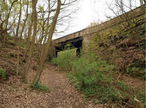
Disused rail bridge - geograph.org.uk - 786920.jpg - PawełMM
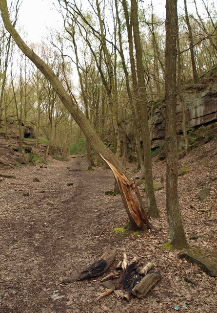
Disused railway cutting - geograph.org.uk - 786576.jpg - GeographBot

Fish Carving - geograph.org.uk - 786779.jpg - GeographBot
Lets clean it up^ - geograph.org.uk - 786539.jpg - GeographBot

Looking down Snape Hill - geograph.org.uk - 785161.jpg - GeographBot

Not so New Street Darfield - geograph.org.uk - 785154.jpg - GeographBot
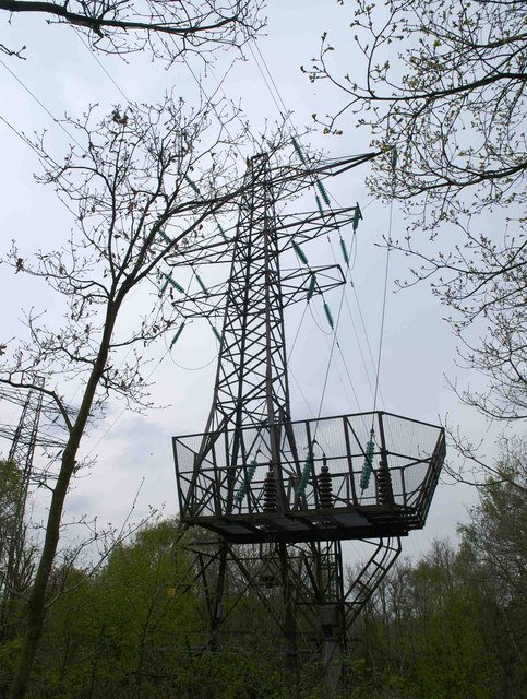
Pylon in the wood - geograph.org.uk - 786896.jpg - GeographBot
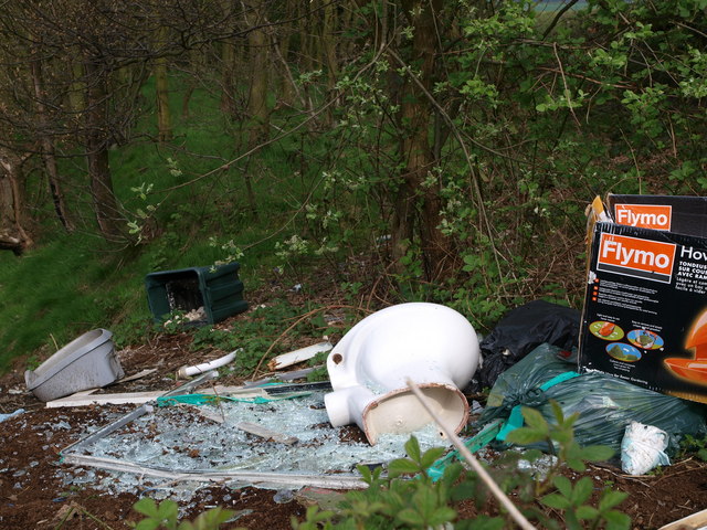
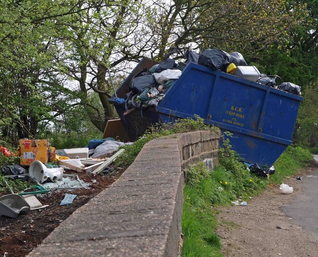
Rubbish - geograph.org.uk - 786850.jpg - GeographBot

Scream - geograph.org.uk - 786795.jpg - GeographBot

Scream in the disused railway cutting - geograph.org.uk - 786789.jpg - GeographBot

Storrs Mill Wood bluebells - geograph.org.uk - 786551.jpg - GeographBot

The former Rising Sun Public House - geograph.org.uk - 785159.jpg - GeographBot
The side of what was The Rising Sun public house - geograph.org.uk - 785158.jpg - GeographBot
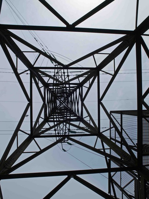
Under the pylon in Storrs Mill Wood - geograph.org.uk - 786543.jpg - GeographBot

Walk this way - geograph.org.uk - 786890.jpg - GeographBot

What was the Rising Sun Public House - geograph.org.uk - 785157.jpg - GeographBot

Which way should I go^ - geograph.org.uk - 786555.jpg - GeographBot
Darfield's museum - geograph.org.uk - 934147.jpg - GeographBot

Darfield Church Hall - geograph.org.uk - 934142.jpg - GeographBot

Footpath up the 'fields' - geograph.org.uk - 939914.jpg - GeographBot

No through footpath - geograph.org.uk - 939891.jpg - GeographBot

Ouch^ - geograph.org.uk - 939918.jpg - GeographBot

Pitt Street Rainbow - geograph.org.uk - 930834.jpg - GeographBot

Rainbow over the Dearne Valley - geograph.org.uk - 930827.jpg - GeographBot
Safety fencing - geograph.org.uk - 934154.jpg - GeographBot

Steps to the Church - geograph.org.uk - 934136.jpg - GeographBot

Thaal Indian restaurant (Formerly The Bridge Inn) - geograph.org.uk - 934135.jpg - GeographBot

The Cross Keys public house - geograph.org.uk - 934146.jpg - GeographBot

The work to reinstate the flood defences is nearly complete - geograph.org.uk - 939885.jpg - GeographBot
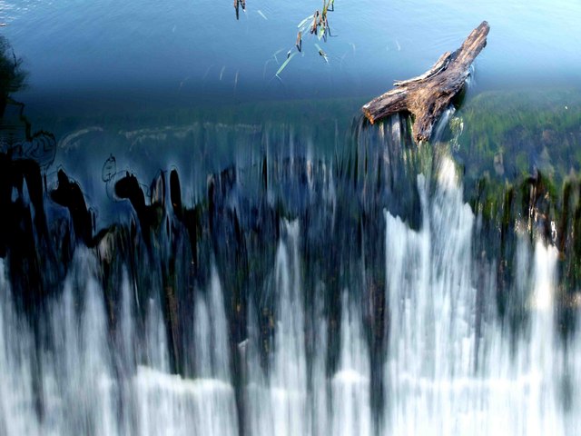
Weir on the River Dearne - geograph.org.uk - 939894.jpg - GeographBot
The empty Prologis warehouse intrudes into the Autumnal landscape - geograph.org.uk - 1036379.jpg - GeographBot

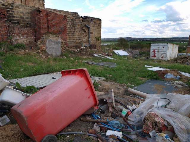
Total destruction - geograph.org.uk - 1094404.jpg - GeographBot

Derelict 'Cornish' houses on Belbrooke Avenue - geograph.org.uk - 1100561.jpg - GeographBot

Edderthorpe earth - geograph.org.uk - 1100540.jpg - GeographBot

Rhythm and booze new shop - geograph.org.uk - 1105399.jpg - GeographBot

Santa's little helpers are still on duty - geograph.org.uk - 1105387.jpg - GeographBot

Still half a field to plough^ - geograph.org.uk - 1100529.jpg - GeographBot

Stone fence post - geograph.org.uk - 1100533.jpg - GeographBot

The hedges alongside Edderthorpe Lane have been cut back under the power lines. - geograph.org.uk - 1100552.jpg - GeographBot

The lonely tree - geograph.org.uk - 1100568.jpg - GeographBot

The lonely tree framed by power cable supports - geograph.org.uk - 1100549.jpg - GeographBot
Track alongside field - geograph.org.uk - 1100535.jpg - GeographBot

Graffiti on a former rail bridge - geograph.org.uk - 1135876.jpg - GeographBot

A snowy Hamlet at Middlewood Hall - geograph.org.uk - 1143870.jpg - GeographBot

A snowy walk through the trees - geograph.org.uk - 1143875.jpg - GeographBot

Bullrushes near Darfield bridge - geograph.org.uk - 1143883.jpg - GeographBot

Repairs to the packhorse bridge in Storrs Mill - 1 week - geograph.org.uk - 1143140.jpg - GeographBot

The A635 trunk road with snow at night ^1 - geograph.org.uk - 1144434.jpg - GeographBot

The A635 trunk road with snow at night ^2 - geograph.org.uk - 1144438.jpg - GeographBot

The weir on the River Dearne near Darfield Bridge - geograph.org.uk - 1143881.jpg - GeographBot

Why dump a lawn mower here^ - geograph.org.uk - 1143868.jpg - GeographBot

Field drain - geograph.org.uk - 1153605.jpg - GeographBot

Footpath to Low Valley - geograph.org.uk - 1153594.jpg - GeographBot

Go on 43^ - geograph.org.uk - 1153691.jpg - GeographBot

The River Dove - geograph.org.uk - 1153657.jpg - GeographBot

The River Dove from the bridge to Littlefield Lane - geograph.org.uk - 1153614.jpg - GeographBot

The official photographer - geograph.org.uk - 1153684.jpg - GeographBot

The outfall from what was The Netherwood Hall corn mill - geograph.org.uk - 1153633.jpg - GeographBot

Fire engine in snow storm - geograph.org.uk - 1162752.jpg - GeographBot

The River Dearne at Storrs Mill - geograph.org.uk - 1245465.jpg - GeographBot
The mill house grounds - geograph.org.uk - 1245466.jpg - GeographBot

The newly restored pack horse bridge, Storrs Mill - geograph.org.uk - 1245463.jpg - GeographBot

Crookhouse pond - geograph.org.uk - 1256930.jpg - GeographBot

Rapeseed coming into flower - geograph.org.uk - 1256918.jpg - GeographBot

The stream from Tyers Hill to Crookhouse - geograph.org.uk - 1256924.jpg - GeographBot
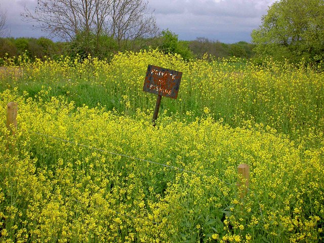
Private no fishing - geograph.org.uk - 1287173.jpg - GeographBot
PrologisBarnsley empty warehouse - geograph.org.uk - 1382763.jpg - GeographBot

Bridge beams to nowhere across the River Dearne - geograph.org.uk - 1562620.jpg - GeographBot

Tufted ducks on the River Dearne - geograph.org.uk - 1562659.jpg - GeographBot

Houghton Main colliery 1979 - geograph.org.uk - 1582212.jpg - GeographBot

Footpath stile - geograph.org.uk - 1702819.jpg - GeographBot

GT Newspapershop, Darfield - geograph.org.uk - 1708079.jpg - GeographBot

Darfield station site geograph-3402608-by-Ben-Brooksbank.jpg - Chevin

RIVER DEARNE - panoramio.jpg - Panoramio upload bot
The end is nigh (geograph 3301297).jpg - Schlosser67

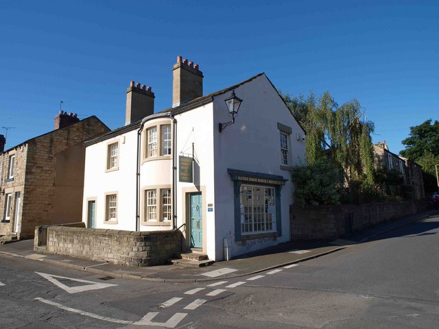
Garland House, Darfield.jpg - Geograph Update Bot

Milestone, Short Link Road, Darfield.jpg - Peter I. Vardy

Milestone, Doncaster Road, Darfield.jpg - Peter I. Vardy
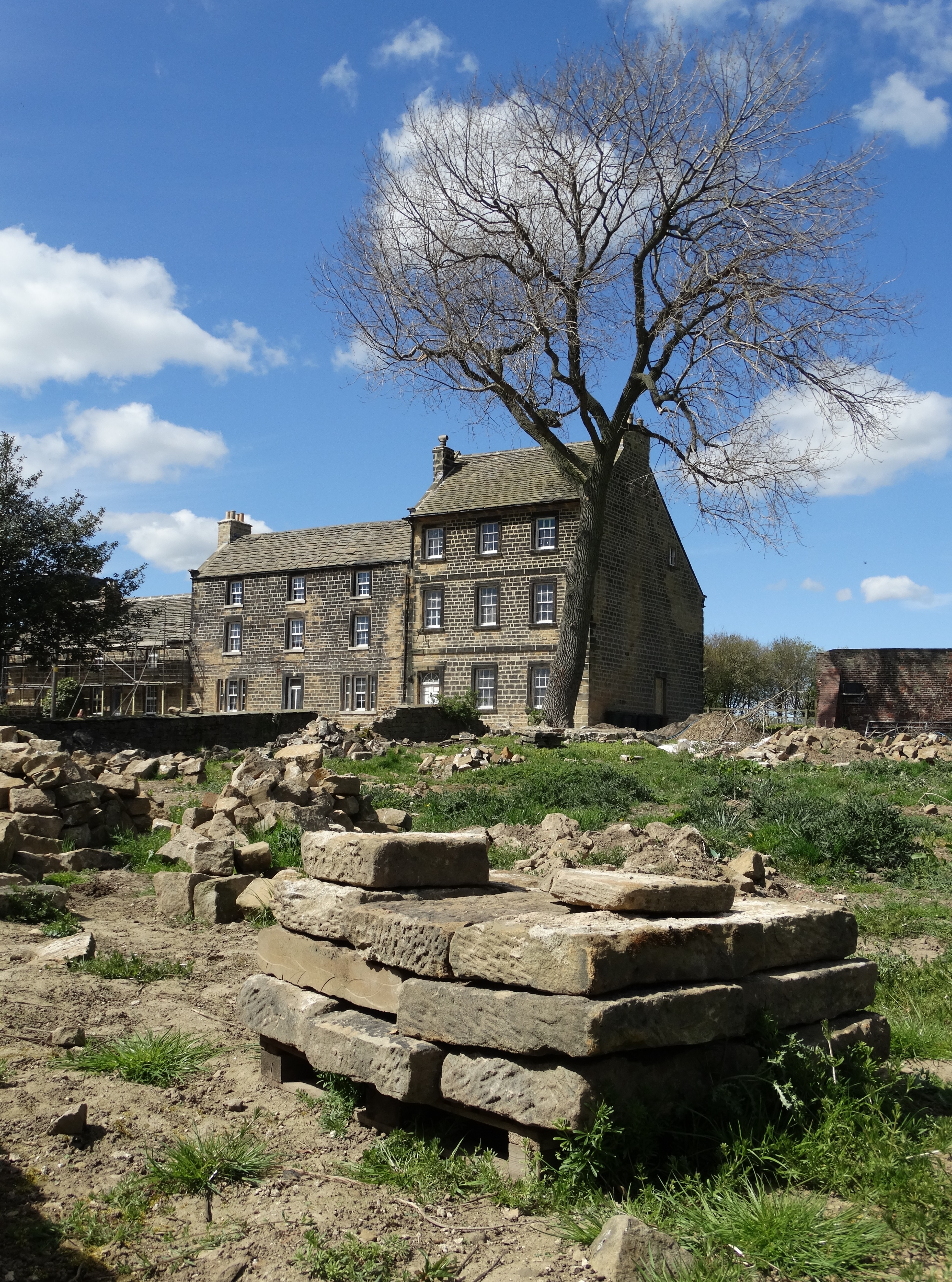
Tyers Hall, Darfield.jpg - Geograph Update Bot