Wikimedi'Òc
Modes d'emploi

Cet album fait partie des albums
Cet album photos contient les sous-albums suivants :


A6106 towards Dalkeith - geograph.org.uk - 7482621.jpg - GeographBot

Carpark, Campend - geograph.org.uk - 7549008.jpg - GeographBot

Beeches, Dalkeith Park - geograph.org.uk - 7648858.jpg - GeographBot

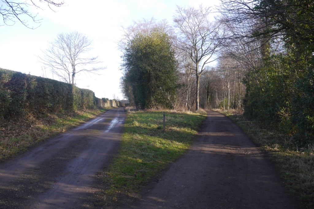
Drive, Dalkeith Park - geograph.org.uk - 7648859.jpg - GeographBot

Dalkeith.jpg - Sionnach

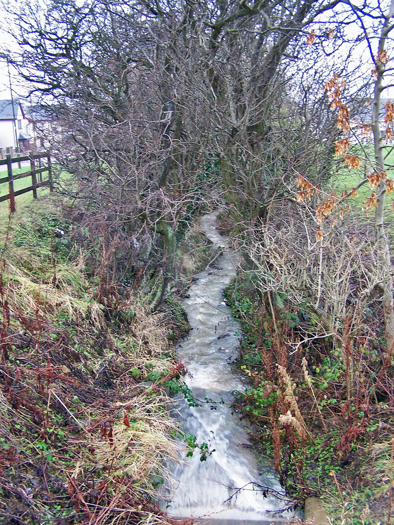
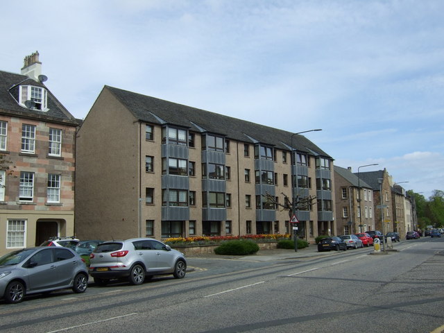
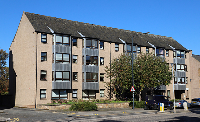
Eskdaill Court - geograph.org.uk - 860132.jpg - GeographBot

The hamlet of Lugton. - geograph.org.uk - 1001965.jpg - GeographBot
Bridge over the River North Esk - geograph.org.uk - 1035626.jpg - GeographBot

River South Esk at Dalkeith - geograph.org.uk - 1035584.jpg - GeographBot

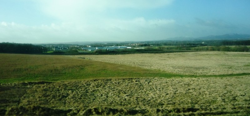
Farmland near Smeaton Head - geograph.org.uk - 1204454.jpg - GeographBot

Rookery at Newfarm - geograph.org.uk - 1204341.jpg - GeographBot

Cedrus atlantica glauca.jpg - Sandy Rae

Samuel Scott - A View of Edinburgh from the South Looking towards Dalkeith - Google Art Project.jpg - DcoetzeeBot
Dalkeith railway station site geograph-3398322-by-Ben-Brooksbank.jpg - Chevin

Unknown portrait of young child, by J Trotter junior, Dalkeith, from mystery album (4354379696).jpg - Co9man

Vicia cracca (Tufted Vetch) - Flickr - S. Rae.jpg - Josve05a

Leafhopper sp. on trefoil - Flickr - S. Rae.jpg - Josve05a

Sawfly devouring a hoverfly - Flickr - S. Rae.jpg - Josve05a

Platycheirus sp. scambus^ (male) - Flickr - S. Rae.jpg - Josve05a

Huebneria, Winthemia, Carcelia, Phryxe or somesuch - who knows - Flickr - S. Rae (6).jpg - Josve05a

Parhelophilus sp. (male) - Flickr - S. Rae.jpg - Josve05a

Parhelophilus sp. (male) - Flickr - S. Rae (1).jpg - Josve05a

Parhelophilus versicolor (female) - Flickr - S. Rae.jpg - Josve05a

Riponnensia splendens (male) - Flickr - S. Rae (3).jpg - Josve05a

Riponnensia splendens (male) - Flickr - S. Rae (4).jpg - Josve05a

Riponnensia splendens (male) - Flickr - S. Rae (5).jpg - Josve05a

Forgetmenots - Flickr - S. Rae.jpg - Josve05a

Platycheirus cf. scutatus (male) - Flickr - S. Rae (4).jpg - Josve05a

Platycheirus cf. scutatus (male) - Flickr - S. Rae (5).jpg - Josve05a

Platycheirus cf. scutatus (male) - Flickr - S. Rae (6).jpg - Josve05a

Platycheirus cf. peltatus (male) - Flickr - S. Rae (1).jpg - Josve05a

Platycheirus in prayer - Flickr - S. Rae.jpg - Josve05a

Parhelophilus versicolor (female) 4 - Flickr - S. Rae.jpg - Josve05a

Parhelophilus versicolor (female) 3 - Flickr - S. Rae.jpg - Josve05a

Parhelophilus versicolor (female) 2 - Flickr - S. Rae.jpg - Josve05a

Parhelophilus versicolor (female) 1 - Flickr - S. Rae.jpg - Josve05a

Huebneria, Winthemia, Carcelia, Phryxe or somesuch - who knows - Flickr - S. Rae (7).jpg - Josve05a
Pondskater - Flickr - S. Rae.jpg - Josve05a

Hydrellia^ - a tiny fly in bullrushes - Flickr - S. Rae.jpg - Josve05a

Parhelophilus sp. (male) - Flickr - S. Rae (2).jpg - Josve05a

Melangyna sp. (female) - umbellatarum possibly - Flickr - S. Rae.jpg - Josve05a

Denticollis linearis (a Click Beetle) - Flickr - S. Rae.jpg - Josve05a

Grammoptera ruficornis (Common Grammoptera) - Flickr - S. Rae (1).jpg - Josve05a

Parhelophilus sp - Flickr - S. Rae.jpg - Josve05a

Pipiza sp. (female) - Flickr - S. Rae (5).jpg - Josve05a

Pipiza sp. (female) - Flickr - S. Rae (6).jpg - Josve05a
Volucella pellucens (male) - Flickr - S. Rae.jpg - Josve05a

Phratora sp. - Leaf Beetle on Sallow leaf - Flickr - S. Rae.jpg - Josve05a

Salticus scenicus (Zebra Jumper) - breakfast - Flickr - S. Rae.jpg - Josve05a
Lonchaeid fly - Flickr - S. Rae (3).jpg - Josve05a

Eristalis tenax (female) - Drone Fly - Flickr - S. Rae (8).jpg - Josve05a

Melangyna lasiophthalma (female) - Flickr - S. Rae (9).jpg - Josve05a

Nedlands Yacht Club - main clubhouse - panoramio.jpg - Panoramio upload bot

Ordnance Survey One-Inch Map Sheet 62 Edinburgh.jpg - Kognos
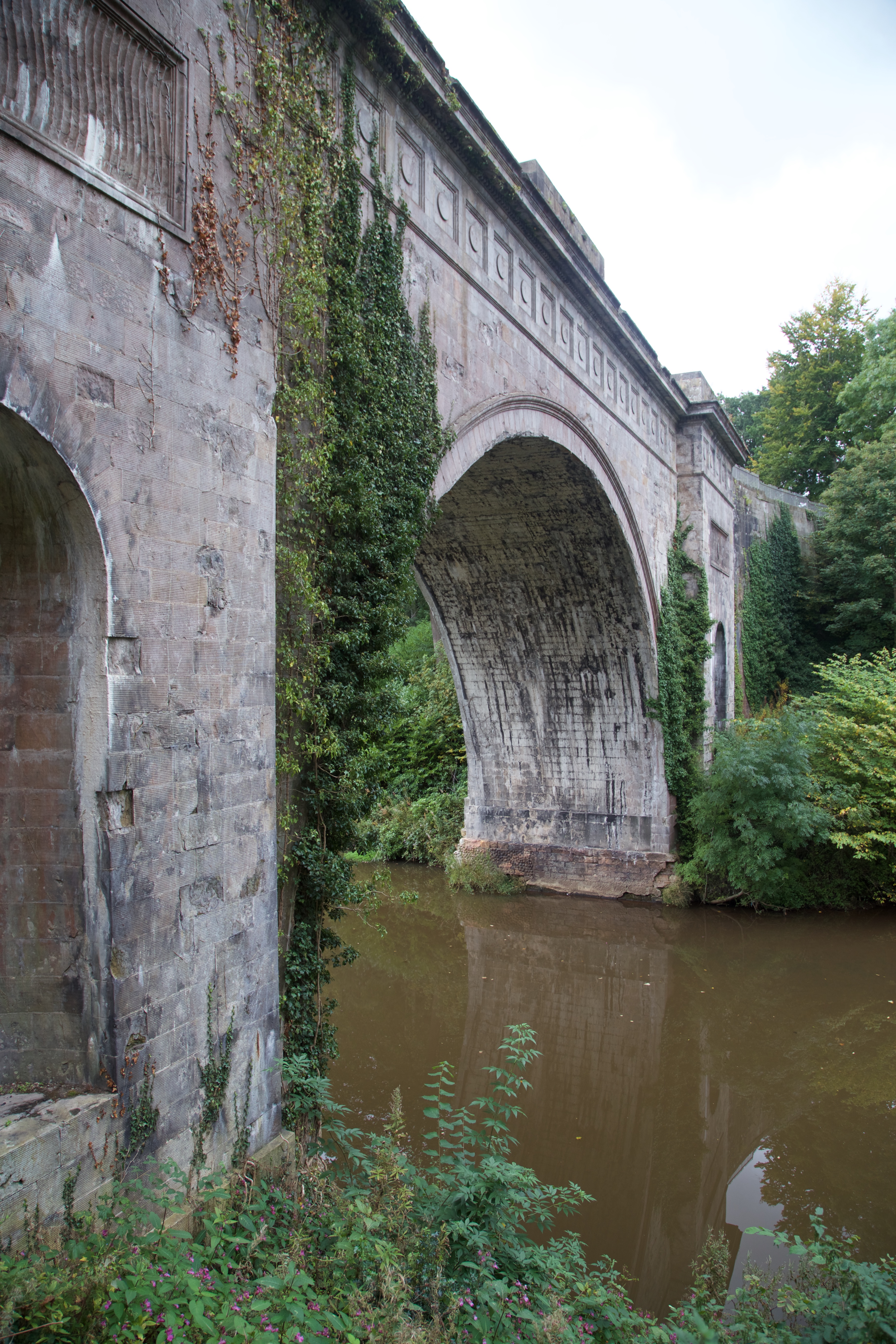
View of Montagu Bridge from E.jpg - ArchHist

View of Montagu Bridge from SW.jpg - ArchHist
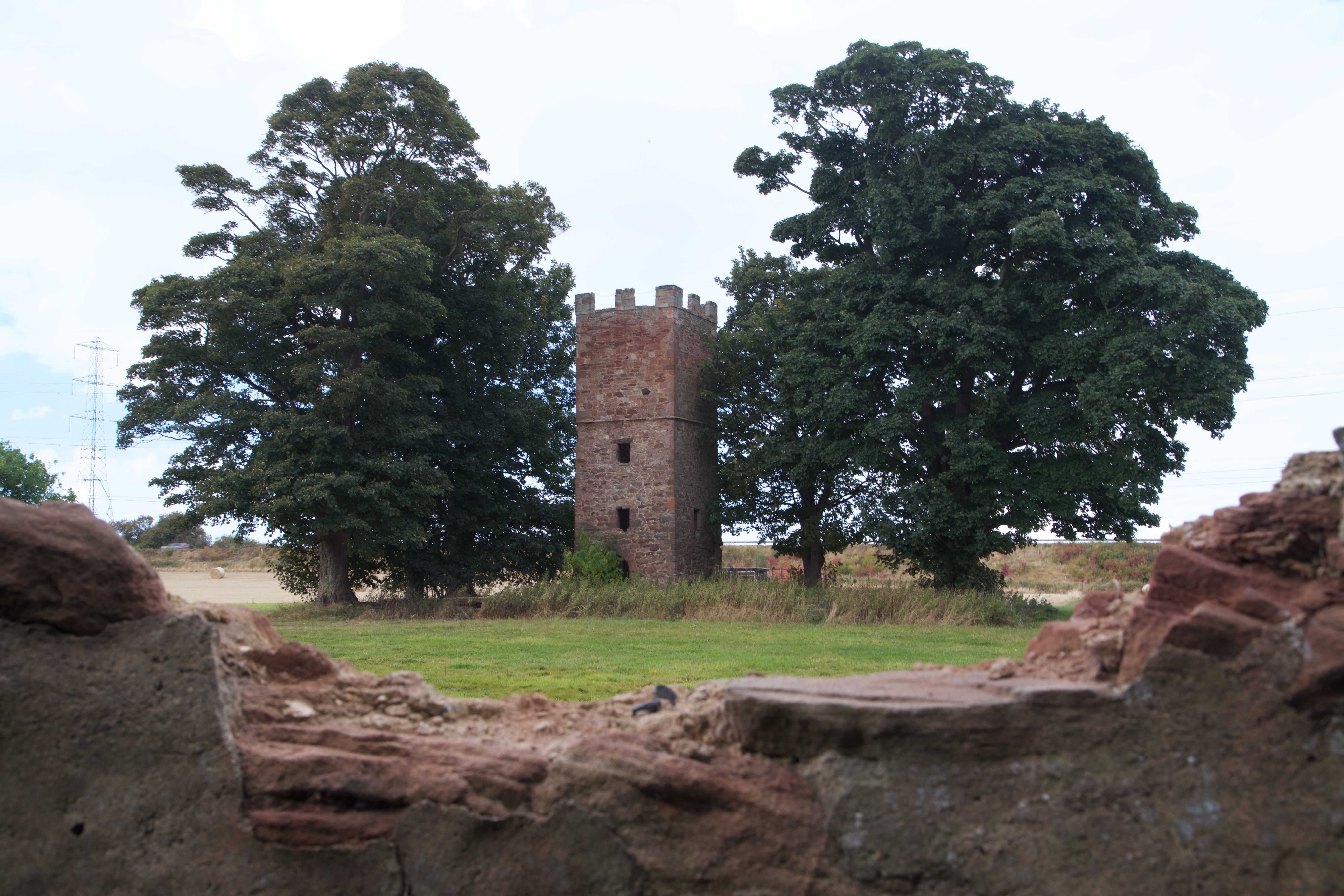
View of tower of Newton Parish Church from SE.jpg - ArchHist

View of Laundry House from SE.jpg - ArchHist

Montagu Bridge (36908975091).jpg - Naturiss

Cauld at Montagu Bridge (36879384862).jpg - Naturiss

Footbridge (36861814416).jpg - Naturiss

Meeting of the Waters (36908947571).jpg - Naturiss

Dalkeith.svg - Draqueeb

Quarterly Journal of the Geological Society of London, vol. 9 Plate 12.png - Sp1nd01

Dalkeith water tower.jpg - Andy1644

Track leading to a private house - geograph.org.uk - 1834458.jpg - GeographBot

Grazing land at Langside Head - geograph.org.uk - 1834465.jpg - GeographBot

Leaving Dalkeith in Midlothian - geograph.org.uk - 2079632.jpg - GeographBot

Ironmills Cottages, Dalkeith - geograph.org.uk - 2203106.jpg - GeographBot

Whitehill Fever Hospital - geograph.org.uk - 2232875.jpg - GeographBot

Sandstone wall - geograph.org.uk - 2232883.jpg - GeographBot

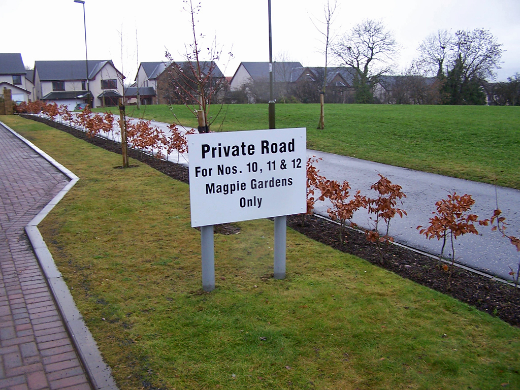
Housing in Magpie Gardens, Woodburn - geograph.org.uk - 2232928.jpg - GeographBot
New housing estate, Woodburn - geograph.org.uk - 2232942.jpg - GeographBot
A little reminder of the past - geograph.org.uk - 2232945.jpg - GeographBot

Contrasting windows, Dalkeith High Street - geograph.org.uk - 2335586.jpg - GeographBot
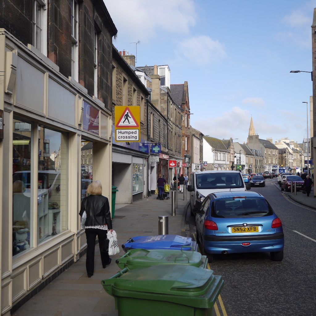
High Street, Dalkeith - geograph.org.uk - 2368657.jpg - GeographBot

Oakwood, Dalkeith Park - geograph.org.uk - 2424429.jpg - GeographBot

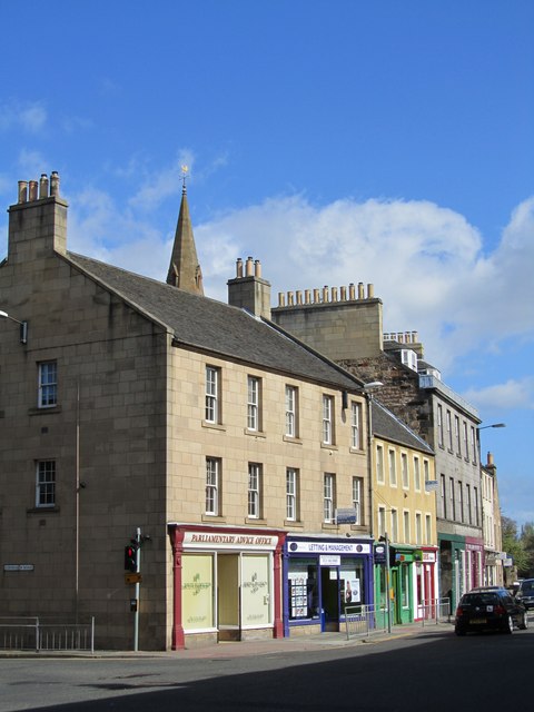
St Andrew Street, Dalkeith - geograph.org.uk - 2485139.jpg - GeographBot

Dalkeith Parish Kirk - geograph.org.uk - 2497227.jpg - GeographBot

The North Esk at Bridgend - geograph.org.uk - 2497261.jpg - GeographBot

Old mill building at Bridgend, Dalkeith - geograph.org.uk - 2497264.jpg - GeographBot

Millstones at Bridgend, Dalkeith - geograph.org.uk - 2497267.jpg - GeographBot

Old building at Bridgend, Dalkeith - geograph.org.uk - 2497268.jpg - GeographBot

The North Esk at Bridgend - geograph.org.uk - 2497272.jpg - GeographBot

House at Bridgend - geograph.org.uk - 2497275.jpg - GeographBot

18thC sundial at Bridgend - geograph.org.uk - 2497279.jpg - GeographBot

Railings in Glebe Street - geograph.org.uk - 2497285.jpg - GeographBot

Dalkeith High Street improvements - geograph.org.uk - 2499210.jpg - GeographBot

Dalkeith town centre improvements - geograph.org.uk - 2499213.jpg - GeographBot

Dalkeith town centre improvements - geograph.org.uk - 2499218.jpg - GeographBot

Summer spectators at Dalkeith House - geograph.org.uk - 2499352.jpg - GeographBot

Conservatory - Orangery Dalkeith Park - geograph.org.uk - 2733464.jpg - GeographBot

Wheatsheaf Lane, Dalkeith - geograph.org.uk - 2768111.jpg - GeographBot

Debris, Lansbury Court - geograph.org.uk - 2768219.jpg - GeographBot
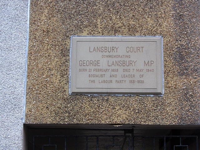
Plaque, Lansbury Court - geograph.org.uk - 2768372.jpg - GeographBot

Cross Keys Hotel - geograph.org.uk - 2773939.jpg - GeographBot

Eskbank Toll, Dalkeith - geograph.org.uk - 2854391.jpg - GeographBot

High Street, Dalkeith - geograph.org.uk - 2885895.jpg - GeographBot

A crossroads in Dalkeith - geograph.org.uk - 2886962.jpg - GeographBot

Peacocks, Dalkeith - geograph.org.uk - 2886976.jpg - GeographBot

Health centre, Dalkeith - geograph.org.uk - 2886982.jpg - GeographBot

Dalkeith High School site 2012 - geograph.org.uk - 3011920.jpg - GeographBot

Dalkeith High School site 2012 - geograph.org.uk - 3011933.jpg - GeographBot

The Unicorn at Dalkeith - geograph.org.uk - 3011938.jpg - GeographBot

Field, Langside - geograph.org.uk - 3283877.jpg - GeographBot

Woodland, Langside - geograph.org.uk - 3283885.jpg - GeographBot

Ordnance Survey Sheet NT 36 (36 36) Dalkeith, Published 1947.jpg - Kognos

Dalkeith Library and Arts Centre - geograph.org.uk - 3539121.jpg - GeographBot

Pebble mosaic - swan - geograph.org.uk - 3539145.jpg - GeographBot

Pebble mosaic - dragonfly - geograph.org.uk - 3539155.jpg - GeographBot

Memorial to Robert Burns, Dalkeith - geograph.org.uk - 3539176.jpg - GeographBot

Archview Lodge Nursing Home - geograph.org.uk - 3539185.jpg - GeographBot

Old Edinburgh Road, Dalkeith - geograph.org.uk - 3539247.jpg - GeographBot

Midlothian House - geograph.org.uk - 3691168.jpg - GeographBot

Corner Pocket Snooker Centre - geograph.org.uk - 3691176.jpg - GeographBot
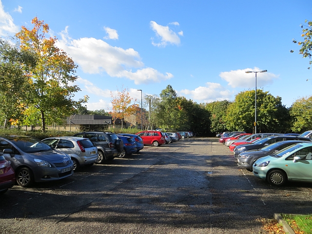
Car park, Dalkeith - geograph.org.uk - 3691214.jpg - GeographBot

The country comes to town - geograph.org.uk - 3692423.jpg - GeographBot

North end of Dalkeith High Street - geograph.org.uk - 3692427.jpg - GeographBot

Site of Dalkeith bus garage - geograph.org.uk - 3711403.jpg - GeographBot
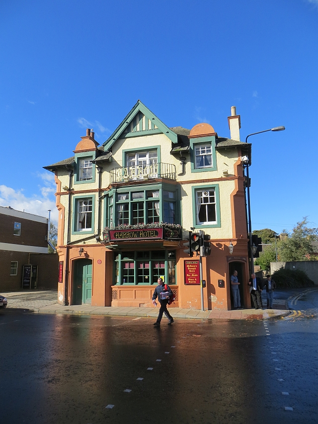
Harrow Hotel, Dalkeith - geograph.org.uk - 3711418.jpg - GeographBot
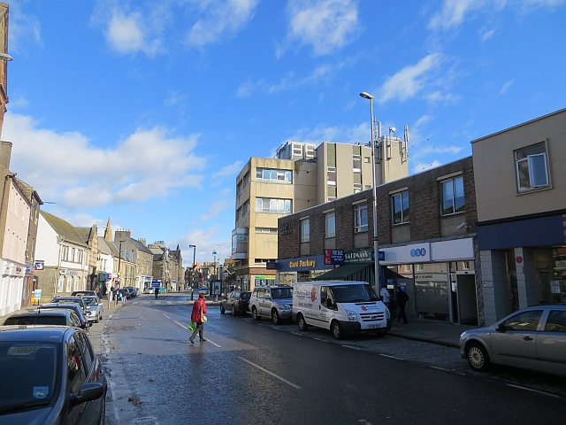
High Street, Dalkeith - geograph.org.uk - 3711428.jpg - GeographBot
Dalkeith bus garage site - geograph.org.uk - 3769199.jpg - GeographBot

Champion of Champions Event, Dalkeith Show July 2014 - geograph.org.uk - 4067386.jpg - GeographBot

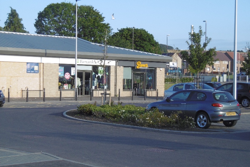
Dalkeith - geograph.org.uk - 4096389.jpg - GeographBot

Traffic tailback on Eskbank Road - geograph.org.uk - 4096512.jpg - GeographBot

Offices at South Street, Dalkeith - geograph.org.uk - 4096650.jpg - GeographBot
Harvested field near Cousland - geograph.org.uk - 4118950.jpg - GeographBot

Midlothian House, Dalkeith.jpg - Stortford

Cousland to Dalkeith road - geograph.org.uk - 4263360.jpg - GeographBot

Dalkeith, High Street 1988 - geograph.org.uk - 4280796.jpg - GeographBot
Fields adjacent to A68 - geograph.org.uk - 4373401.jpg - GeographBot

A68, Dalkeith Bypass - geograph.org.uk - 4423120.jpg - GeographBot

Cowden - geograph.org.uk - 4423124.jpg - GeographBot

The County Hotel, Dalkeith - geograph.org.uk - 4478151.jpg - GeographBot

Sign for the County Hotel, Dalkeith - geograph.org.uk - 4478154.jpg - GeographBot

St. Nicholas Buccleuch Parish Church, Dalkeith - geograph.org.uk - 4478156.jpg - GeographBot

Young birch woodland - geograph.org.uk - 4478161.jpg - GeographBot

Grazing near Smeaton Head - geograph.org.uk - 4478165.jpg - GeographBot

Dropping down into Dalkeith - geograph.org.uk - 4483788.jpg - GeographBot

Entering Dalkeith - geograph.org.uk - 4483790.jpg - GeographBot

The Coach ^ Horses, Dalkeith - geograph.org.uk - 4483792.jpg - GeographBot

Sign for the Coach ^ Horses, Dalkeith - geograph.org.uk - 4483793.jpg - GeographBot
Flats on High Street, Dalkeith - geograph.org.uk - 4483795.jpg - GeographBot

Mayson's, Dalkeith - geograph.org.uk - 4483796.jpg - GeographBot

High Street, Dalkeith (A6094) - geograph.org.uk - 4483798.jpg - GeographBot

St Mary's Chapel, Dalkeith Park - geograph.org.uk - 4483801.jpg - GeographBot

House on Salters Road - geograph.org.uk - 4484941.jpg - GeographBot

Salters Road (A6094) - geograph.org.uk - 4484945.jpg - GeographBot

Salters Road (A6094) - geograph.org.uk - 4484952.jpg - GeographBot

Ice House, Dalkeith House - geograph.org.uk - 4778682.jpg - GeographBot

The A68 - Dalkeith by-pass - geograph.org.uk - 4798905.jpg - GeographBot

Town Gate, Dalkeith Park - geograph.org.uk - 4870217.jpg - GeographBot

Permit reader, under construction - geograph.org.uk - 4870335.jpg - GeographBot

Dalkeith House and access protest - geograph.org.uk - 4871290.jpg - GeographBot

St Andrew Street, Dalkeith - geograph.org.uk - 4927592.jpg - GeographBot

St Andrew Street, Dalkeith - geograph.org.uk - 4927594.jpg - GeographBot

St Andrew Street, Dalkeith - geograph.org.uk - 4927598.jpg - GeographBot

St Andrew Street, Dalkeith - geograph.org.uk - 4927626.jpg - GeographBot

Newmills Road, Dalkeith - geograph.org.uk - 4927627.jpg - GeographBot

London Road, Dalkeith - geograph.org.uk - 4927631.jpg - GeographBot

Harrow Hotel, Dalkeith - geograph.org.uk - 4927634.jpg - GeographBot

Croft Street, Dalkeith - geograph.org.uk - 4927636.jpg - GeographBot

Dalkeith, I woz here plaque - geograph.org.uk - 4927637.jpg - GeographBot
High Street, Dalkeith - geograph.org.uk - 4927639.jpg - GeographBot

Quality Window Blinds - geograph.org.uk - 4927642.jpg - GeographBot

Edinburgh Road, Dalkeith - geograph.org.uk - 4927655.jpg - GeographBot

Edinburgh Road, Dalkeith - geograph.org.uk - 4927658.jpg - GeographBot

Grannies Park Industrial Estate - geograph.org.uk - 4927673.jpg - GeographBot

Shaft cap, Grannies Park - geograph.org.uk - 4927676.jpg - GeographBot

Beside the North Esk, Dalkeith - geograph.org.uk - 4927679.jpg - GeographBot

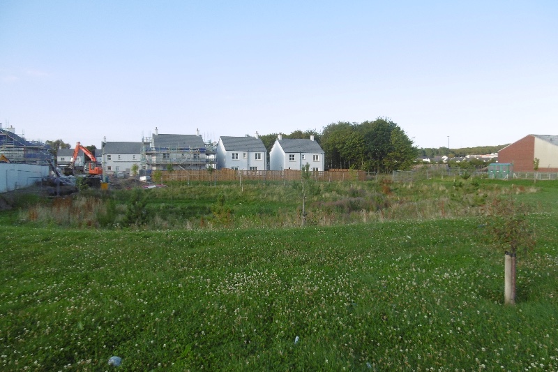
Building site, Thornybank - geograph.org.uk - 5079973.jpg - GeographBot
New houses, Thornybank - geograph.org.uk - 5079976.jpg - GeographBot
Chippy, Thornybank - geograph.org.uk - 5079979.jpg - GeographBot

Dalkeith Community Campus - geograph.org.uk - 5079985.jpg - GeographBot

Smeaton Substation - geograph.org.uk - 5079988.jpg - GeographBot

Unused land, Smeaton - geograph.org.uk - 5079993.jpg - GeographBot

Woodland track, Dalkeith Park - geograph.org.uk - 5080278.jpg - GeographBot

Larch Wood, Dalkeith Park - geograph.org.uk - 5080283.jpg - GeographBot

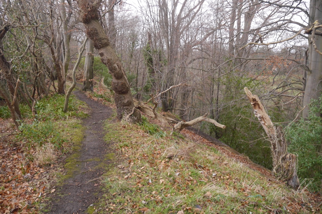
Path, Old Wood - geograph.org.uk - 5080288.jpg - GeographBot

Farm at Cowbridge, Dalkeith - geograph.org.uk - 5236824.jpg - GeographBot

Lugton, Dalkeith - geograph.org.uk - 5237801.jpg - GeographBot

High Street, Dalkeith - geograph.org.uk - 5237804.jpg - GeographBot
Farm at Cowbridge, Dalkeith - geograph.org.uk - 5237914.jpg - GeographBot

St Mary's Episcopal Church, Dalkeith - geograph.org.uk - 5238401.jpg - GeographBot

St Mary's Episcopal Church, Dalkeith - geograph.org.uk - 5258016.jpg - GeographBot

Road to Newfarm, Dalkeith - geograph.org.uk - 5339404.jpg - GeographBot

Cattle near Newfarm, Dalkeith - geograph.org.uk - 5339408.jpg - GeographBot

Houses on Pheasant Grove - geograph.org.uk - 5478203.jpg - GeographBot
Pheasant Grove - geograph.org.uk - 5478207.jpg - GeographBot
Cereal crop towards Whitehill - geograph.org.uk - 5478211.jpg - GeographBot

Salters Road, Dalkeith - geograph.org.uk - 5486823.jpg - GeographBot

New Cow Bridge - geograph.org.uk - 5639882.jpg - GeographBot

Path between houses, Thornybank - geograph.org.uk - 5845376.jpg - GeographBot
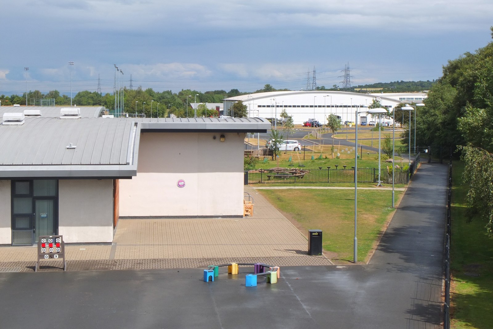
Dalkeith Community Schools Campus - geograph.org.uk - 5845384.jpg - GeographBot
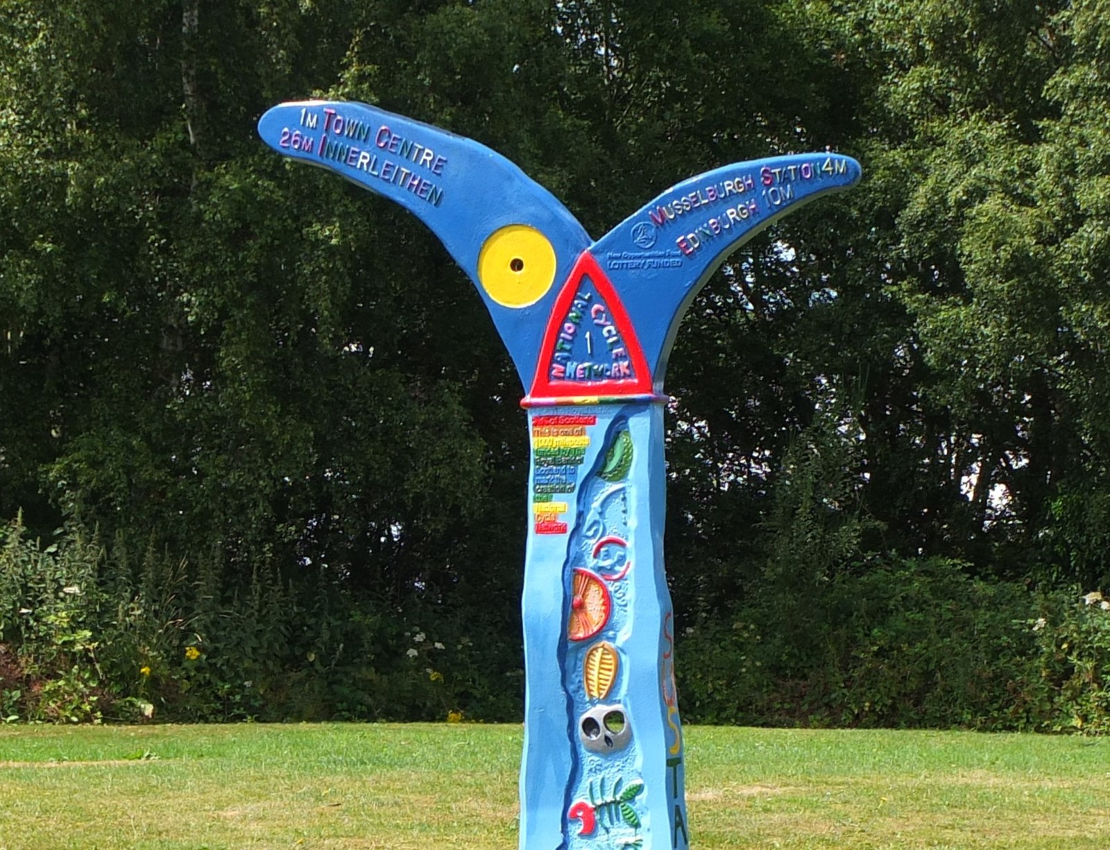
National Cycle Network milepost, Dalkeith - geograph.org.uk - 5845391.jpg - GeographBot

Cyclepath, Dalkeith Schools Campus - geograph.org.uk - 5845402.jpg - GeographBot

Cyclepath north of Dalkeith - geograph.org.uk - 5845415.jpg - GeographBot

Underpass for cyclepath to Musselburgh - geograph.org.uk - 5846295.jpg - GeographBot

St Mary's Episcopal Church - geograph.org.uk - 5936732.jpg - GeographBot

Plummer Court - geograph.org.uk - 5936770.jpg - GeographBot
High Street - geograph.org.uk - 5936780.jpg - GeographBot

Apse of St Nicholas Kirk - geograph.org.uk - 5936790.jpg - GeographBot

St Nicholas Kirk - geograph.org.uk - 5936796.jpg - GeographBot

Harrow Hotel - geograph.org.uk - 5936805.jpg - GeographBot

South Street - geograph.org.uk - 5936818.jpg - GeographBot

Preparing for a Parade - geograph.org.uk - 5936822.jpg - GeographBot
Taxi Rank - geograph.org.uk - 5936837.jpg - GeographBot

Co-Op Clock Tower - geograph.org.uk - 5936901.jpg - GeographBot

Former Inn - geograph.org.uk - 5936907.jpg - GeographBot
71-77 High Street - geograph.org.uk - 5936928.jpg - GeographBot

Former Royal Bank - geograph.org.uk - 5936947.jpg - GeographBot

Brunton's Close - geograph.org.uk - 5936954.jpg - GeographBot
High Street - geograph.org.uk - 5936971.jpg - GeographBot
153-169 High Street - geograph.org.uk - 5936998.jpg - GeographBot
Laundry Bridge and River South Esk - geograph.org.uk - 5937055.jpg - GeographBot

Lugton Brae - geograph.org.uk - 5983683.jpg - GeographBot

Lugton Brae - geograph.org.uk - 5983689.jpg - GeographBot

St John's and King's Park Church - geograph.org.uk - 5983695.jpg - GeographBot

Topiary - geograph.org.uk - 5983712.jpg - GeographBot

St John's and King's Park Church - geograph.org.uk - 5983717.jpg - GeographBot

King's Park School - geograph.org.uk - 5983726.jpg - GeographBot

Morrison's Supermarket - geograph.org.uk - 5983733.jpg - GeographBot
Road, Dalkeith Park - geograph.org.uk - 6079681.jpg - GeographBot

Dean Burn, Dalkeith Park - geograph.org.uk - 6079682.jpg - GeographBot
Road junction, Dalkeith Park - geograph.org.uk - 6079765.jpg - GeographBot

Woodland, Dalkeith Park - geograph.org.uk - 6079767.jpg - GeographBot

Riding in Dalkeith Park - geograph.org.uk - 6079769.jpg - GeographBot

Woodland, Dalkeith Park - geograph.org.uk - 6079771.jpg - GeographBot

Road, Dalkeith Park - geograph.org.uk - 6079772.jpg - GeographBot

Road, Dalkeith Park - geograph.org.uk - 6079773.jpg - GeographBot

Holly understorey, Dalkeith Park - geograph.org.uk - 6079774.jpg - GeographBot

Woodland, Dalkeith Park - geograph.org.uk - 6079776.jpg - GeographBot

Elginhaugh Gardens, Eskbank - geograph.org.uk - 6080748.jpg - GeographBot

Exit from Elginhaugh Gardens - geograph.org.uk - 6080752.jpg - GeographBot
North Esk singletrack - geograph.org.uk - 6080964.jpg - GeographBot
Awaiting development - geograph.org.uk - 6080966.jpg - GeographBot

A7 crossing the North Esk - geograph.org.uk - 6080969.jpg - GeographBot

Current edge of Eskbank, Weir Crescent - geograph.org.uk - 6080977.jpg - GeographBot

Weir Crescent, Eskbank - geograph.org.uk - 6080978.jpg - GeographBot

Field awaiting development, Eskbank - geograph.org.uk - 6080980.jpg - GeographBot

Thornybank Industrial Estate - geograph.org.uk - 6139539.jpg - GeographBot

National Cycle Network milepost at Dalkeith - geograph.org.uk - 6139540.jpg - GeographBot

Estate road in Dalkeith Park - geograph.org.uk - 6139541.jpg - GeographBot

Approaching the Sheriffhall roundabout - geograph.org.uk - 6146450.jpg - GeographBot

James Martin Stagg CB OBE FRSE - geograph.org.uk - 6175405.jpg - GeographBot

Dalkeith Library ^ Arts Centre - geograph.org.uk - 6175411.jpg - GeographBot
Eskdail Court - geograph.org.uk - 6262526.jpg - GeographBot

Map of Edinburghshire Sheet 007, Ordnance Survey (NLS), Published 1854.jpg - Kognos

Plaque, Sheriffhall Roundabout - geograph.org.uk - 6465817.jpg - GeographBot

Sheriffhall Roundabout - geograph.org.uk - 6465819.jpg - GeographBot

The Blacksmith's Forge - geograph.org.uk - 6466620.jpg - GeographBot
Royal Bank of Scotland Data Centre - geograph.org.uk - 6470112.jpg - GeographBot

River North Esk - geograph.org.uk - 6470115.jpg - GeographBot
Abbey Road, Dalkeith - geograph.org.uk - 6470933.jpg - GeographBot

St David's Avenue - geograph.org.uk - 6470943.jpg - GeographBot

Letts, Charles and Co. Dalkeith - geograph.org.uk - 6490906.jpg - GeographBot

Miner's Walk and Saltire road, Dalkeith - geograph.org.uk - 6491852.jpg - GeographBot

Woodland View, Dalkeith - geograph.org.uk - 6491857.jpg - GeographBot

Park next to Woodland View, Dalkeith - geograph.org.uk - 6491859.jpg - GeographBot

Path, Ryndale Drive - geograph.org.uk - 6491862.jpg - GeographBot

Easter Langside Gardens, Dalkeith - geograph.org.uk - 6493218.jpg - GeographBot

Cowden Road - geograph.org.uk - 6493268.jpg - GeographBot

Langside Park - geograph.org.uk - 6493270.jpg - GeographBot

Ryndale Drive - geograph.org.uk - 6493275.jpg - GeographBot

Langside Park - geograph.org.uk - 6493324.jpg - GeographBot

Ryndale Drive - geograph.org.uk - 6494854.jpg - GeographBot

Midlothian - 228-230 High Street, Dalkeith - 20240622083847.jpg - Warofdreams

Midlothian - 190, 192, 194 High Street, Dalkeith - 20240622083700.jpg - Warofdreams

Midlothian - 140-142 High Street, Dalkeith - 20240622083521.jpg - Warofdreams

Midlothian - 108-110 High Street, Dalkeith - 20240622083414.jpg - Warofdreams

Midlothian - 106 High Street, Dalkeith - 20240622083414.jpg - Warofdreams

Midlothian - Clydesdale Bank, 100-102 High Street, Dalkeith - 20240622083414.jpg - Warofdreams

Midlothian - 43 High Street, Dalkeith - 20240622083325.jpg - Warofdreams

84=90 St Andrew's Road, Dalkeith.jpg - Warofdreams

Eskbank , Old Dalkeith Road A7 - geograph.org.uk - 6666556.jpg - GeographBot

Old toll house - geograph.org.uk - 6764195.jpg - GeographBot

Harvested brassica crop off Gilmerton Road - geograph.org.uk - 6774582.jpg - GeographBot

Gilmerton Road - geograph.org.uk - 6774583.jpg - GeographBot

Fields, Sheriffhall - geograph.org.uk - 6774584.jpg - GeographBot

Fields, Sheriffhall - geograph.org.uk - 6774586.jpg - GeographBot

Queue for Sheriffhall roundabout - geograph.org.uk - 6774627.jpg - GeographBot

Sheriffhall - geograph.org.uk - 6774629.jpg - GeographBot

Brassica crop, Sheriffhall - geograph.org.uk - 6774630.jpg - GeographBot

River South Esk - geograph.org.uk - 6875386.jpg - GeographBot

Road, Dalkeith Park - geograph.org.uk - 6875392.jpg - GeographBot

Fold, Dalkeith Park - geograph.org.uk - 6875395.jpg - GeographBot

Meeting of the Waters - geograph.org.uk - 6875407.jpg - GeographBot

Path, Dalkeith Park - geograph.org.uk - 7018517.jpg - GeographBot

Path, Dalkeith Park - geograph.org.uk - 7018523.jpg - GeographBot

Woodland, Dalkeith Park - geograph.org.uk - 7018526.jpg - GeographBot

Path, Dalkeith Park - geograph.org.uk - 7018529.jpg - GeographBot

Old oak, Dalkeith Park - geograph.org.uk - 7018533.jpg - GeographBot

Oak and ruin, Dalkeith Park - geograph.org.uk - 7018537.jpg - GeographBot

Oaks, Dalkeith Park - geograph.org.uk - 7018542.jpg - GeographBot

Oaks, Dalkeith Park - geograph.org.uk - 7018548.jpg - GeographBot

Oaks, Dalkeith Park - geograph.org.uk - 7018551.jpg - GeographBot

Looking across the South Esk, Dalkeith Park - geograph.org.uk - 7018552.jpg - GeographBot

Oaks, Dalkeith Park - geograph.org.uk - 7019490.jpg - GeographBot

River South Esk, Dalkeith Park - geograph.org.uk - 7019492.jpg - GeographBot

Beside the South Esk, Dalkeith Park - geograph.org.uk - 7019496.jpg - GeographBot

Oaks, Dalkeith Park - geograph.org.uk - 7019497.jpg - GeographBot

Path, Dalkeith Park - geograph.org.uk - 7019502.jpg - GeographBot

Oaks, Dalkeith Park - geograph.org.uk - 7019511.jpg - GeographBot

Oaks, Dalkeith Park - geograph.org.uk - 7019513.jpg - GeographBot

Steep woodland above the South Esk - geograph.org.uk - 7019517.jpg - GeographBot

Woodland, Dalkeith Park - geograph.org.uk - 7019520.jpg - GeographBot

Dalkeith from the air - geograph.org.uk - 7360008.jpg - GeographBot

Viscount Drive - geograph.org.uk - 7840832.jpg - GeographBot

Millerhill Marshalling Yard from the air - geograph.org.uk - 7881542.jpg - GeographBot

Millerhill from the air - geograph.org.uk - 7881543.jpg - GeographBot

Dalkeith - geograph.org.uk - 7957976.jpg - GeographBot