Wikimedi'Òc
Modes d'emploi

Cet album fait partie des albums
Cet album photos contient les sous-albums suivants :


Bike and military notice, Imber Range - geograph.org.uk - 539093.jpg - GeographBot

West Woods, near Marlborough - geograph.org.uk - 789247.jpg - GeographBot

Dursley Road - geograph.org.uk - 802620.jpg - GeographBot

The road past Hackpen Farm, Swindon - geograph.org.uk - 837758.jpg - GeographBot

South along the MandSWJR trackbed, near Marlborough - geograph.org.uk - 922440.jpg - GeographBot
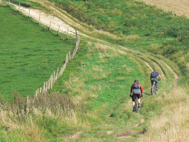
Cyclists on the Wessex Ridgeway, north-east of Avebury - geograph.org.uk - 970889.jpg - GeographBot

Fosse Way, near Colerne airfield - geograph.org.uk - 981514.jpg - GeographBot

Cycleway to Chippenham town centre - geograph.org.uk - 991031.jpg - GeographBot

Foot and cycle path, near Glebe Close, Swindon - geograph.org.uk - 991710.jpg - GeographBot

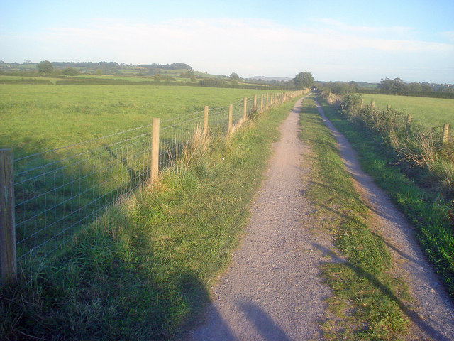
Long distance cycleway near Chippenham - geograph.org.uk - 1013696.jpg - GeographBot

National Cycleway Route 4 - geograph.org.uk - 1013708.jpg - GeographBot

Farmland, a cycle route and a monitor, near Compton Bassett - geograph.org.uk - 1172909.jpg - GeographBot

Sustran Cycle Route 4 - geograph.org.uk - 1252464.jpg - GeographBot

Road to Leigh Delamere with cyclists - geograph.org.uk - 1299213.jpg - GeographBot

Cyclists, Morgan's Hill - geograph.org.uk - 1345713.jpg - GeographBot

Cycle track under the London to Swindon railway, Swindon - geograph.org.uk - 1375517.jpg - GeographBot

Cyclist on the road to Kilmington - geograph.org.uk - 1478766.jpg - GeographBot

Cyclists next to the A345, Court Farm Road, Netheravon - geograph.org.uk - 1531795.jpg - GeographBot

Approaching the Avon bridge - geograph.org.uk - 1545782.jpg - GeographBot

Bridge over the Avon - geograph.org.uk - 1545686.jpg - GeographBot

Cycleway at Monkton Park - 1 - geograph.org.uk - 1545749.jpg - GeographBot

Cycleway at Monkton Park - 1 - geograph.org.uk - 1545764.jpg - GeographBot

Cycleway indicator at Stanley Bridge Halt - geograph.org.uk - 1545358.jpg - GeographBot

Cycleway junction - geograph.org.uk - 1545701.jpg - GeographBot

Cycleway near Bencroft Hill - geograph.org.uk - 1545291.jpg - GeographBot

Cycleway near Hither Farm - geograph.org.uk - 1545235.jpg - GeographBot

Cycleway near New Leaze Farm - geograph.org.uk - 1545209.jpg - GeographBot
Cycleway near New Leaze Farm - geograph.org.uk - 1545222.jpg - GeographBot

Cycleway off Riverside Drive - geograph.org.uk - 1545715.jpg - GeographBot

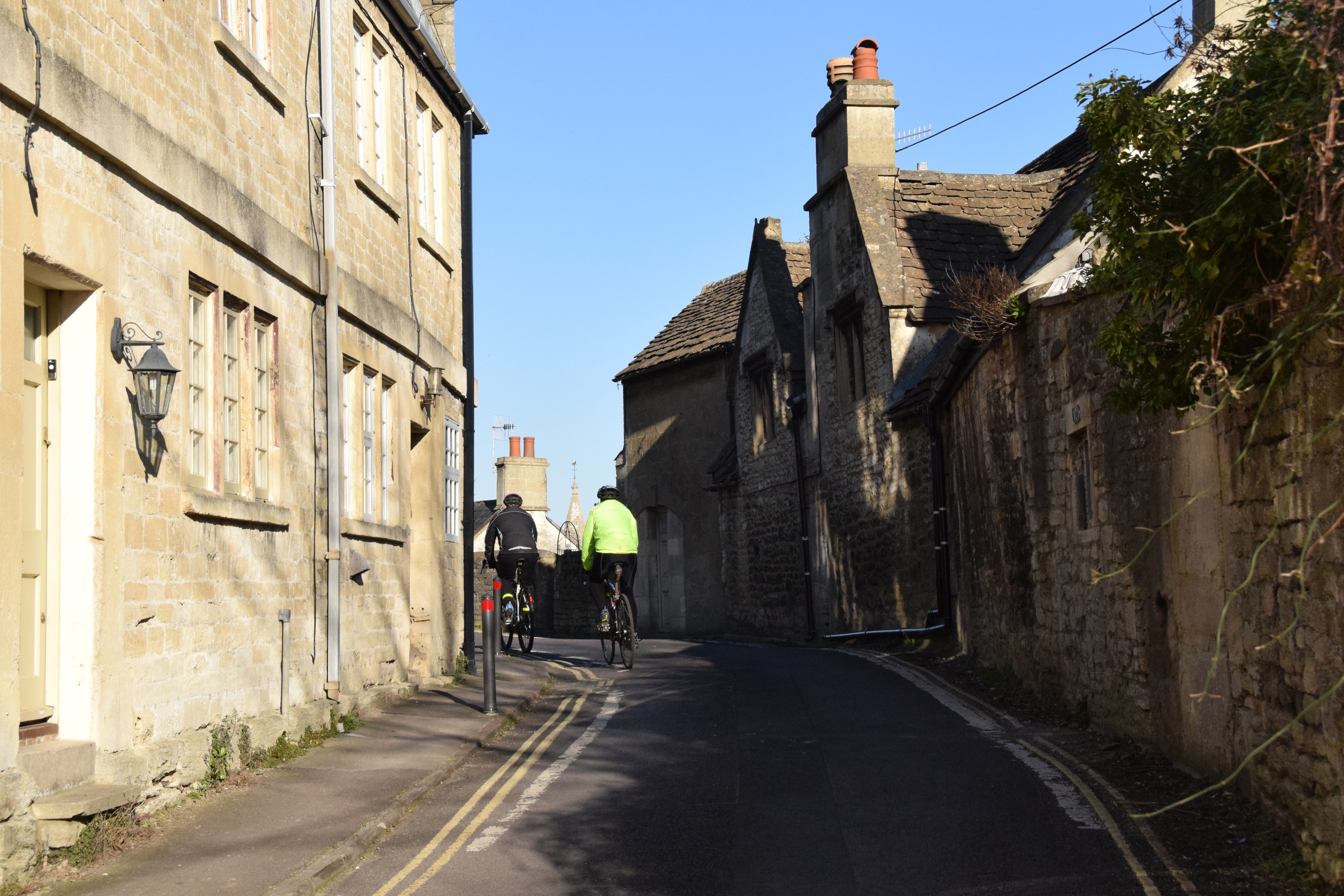
Cyclist on Main Street, Keevil - geograph.org.uk - 1604010.jpg - GeographBot

A bicycle ridden along Hinton Lane - geograph.org.uk - 1614842.jpg - GeographBot

Haydon End Lane - geograph.org.uk - 1616366.jpg - GeographBot

Lane to Seend Park Farm with cyclist - geograph.org.uk - 1612957.jpg - GeographBot

Fellow on a push-bike, Route 45, Swindon - geograph.org.uk - 1716260.jpg - GeographBot

The parting of the ways, Route 45, Swindon - geograph.org.uk - 1716282.jpg - GeographBot

2014 Tour of Britain stage 6 in Bradford on Avon at the front.JPG - Geof Sheppard

2014 Tour of Britain stage 6 in Bradford on Avon in the peloton.JPG - Geof Sheppard

2014 Tour of Britain stage 6 in Bradford on Avon more of the peloton.JPG - Geof Sheppard

2014 Tour of Britain stage 6 in Bradford on Avon the last riders cross the bridge.JPG - Geof Sheppard

Avebury, UK - panoramio - IIya Kuzhekin (1).jpg - Panoramio upload bot
Newtown, Bradford-on-Avon.jpg - Stevekeiretsu