×

Cumnock.jpg - Asta~commonswiki

Cumnock - geograph.org.uk - 205229.jpg - GeographBot

East Ayrshire Community Hospital - geograph.org.uk - 207254.jpg - GeographBot

Map of Auchinleck and Cumnock, Circa 1811.jpg - Rosser1954

Bridge over the Rose Burn - geograph.org.uk - 330264.jpg - GeographBot

Changue Farm roadend - geograph.org.uk - 330259.jpg - GeographBot

Knockterra farm roadend - geograph.org.uk - 330272.jpg - GeographBot

Private road to Woodhead Cottage - geograph.org.uk - 330269.jpg - GeographBot

Road over the A76 - geograph.org.uk - 331247.jpg - GeographBot

Roseburn - house in a hollow - geograph.org.uk - 330337.jpg - GeographBot

Scruffy pasture, scrubby woodland - geograph.org.uk - 330323.jpg - GeographBot

Line painting in Glaisnock Street.jpg - File Upload Bot (Magnus Manske)

A70 - geograph.org.uk - 421232.jpg - GeographBot

Green Fields - geograph.org.uk - 433082.jpg - GeographBot

Broomfield Track and Pavilion - geograph.org.uk - 620648.jpg - GeographBot

Cumnock Fire Station - geograph.org.uk - 699853.jpg - GeographBot

Rent a flat above a shop - geograph.org.uk - 699851.jpg - GeographBot

The concrete heart of Cumnock - geograph.org.uk - 699849.jpg - GeographBot

By The Lugar Water - geograph.org.uk - 937324.jpg - GeographBot

The Corporate Colours - geograph.org.uk - 937321.jpg - GeographBot

Cumnock Old Cemetery - geograph.org.uk - 992780.jpg - GeographBot

William Simson's gravestone at Cumnock - geograph.org.uk - 992792.jpg - GeographBot

Window shopping in Cumnock - geograph.org.uk - 992767.jpg - GeographBot

Leaving Cumnock in East Ayrshire - geograph.org.uk - 1159224.jpg - GeographBot

Hawthorn bushes beside old railway line - geograph.org.uk - 1536254.jpg - GeographBot

From Stepend Bing Cumnock Scotland.jpg - Dzlinker

From Stepend Bing, Cumnock, Scotland-LCCN2001705961.jpg - Fæ

From Stepend Bing, Cumnock, Scotland-LCCN2001705961.tif - Fæ

Carrick Cumnock and Doon Valley C Ward Map 2011.svg - Renamed user OCfxJKu7j2

Cumnock and Doon Valley.svg - Renamed user OCfxJKu7j2

Ayr, Carrick and Cumnock UK Chart.png - Renamed user OCfxJKu7j2

Templand Bridge, Cumnock, Scotland LOC 3450350986.jpg - Fæ

Church of St John the Evangelist, Cumnock.jpg - Bjh21

Alexander Peden's gravestone, Cumnock, East Ayrshire, Scotland.jpg - Rosser1954

Cumnock town centre, Scotland.jpg - Bjh21

Ordnance Survey One-Inch Sheet 67 Ayr, Published 1964.jpg - Kognos

River Lugar, Mote Hill, Cumnock, East Ayrshire.jpg - Rosser1954

River Lugar, Mote Hill, Cumnock, East Ayrshire - view north.jpg - Rosser1954

River Lugar, Mote Hill wood, Cumnock, East Ayrshire - view east.jpg - Rosser1954

Bank Viaduct, Cumnock, East Ayrshire.jpg - Rosser1954

The Mote Hill, Cumnock, East Ayrshire.jpg - Rosser1954

Mote Hill, Cumnock, East Ayrshire.jpg - Rosser1954

Mote Hill site, Cumnock, East Ayrshire, Scotland.jpg - Rosser1954

Mote Hill and path site, Cumnock, East Ayrshire, Scotland.jpg - Rosser1954

Mote Hill and steps, Cumnock, East Ayrshire, Scotland.jpg - Rosser1954

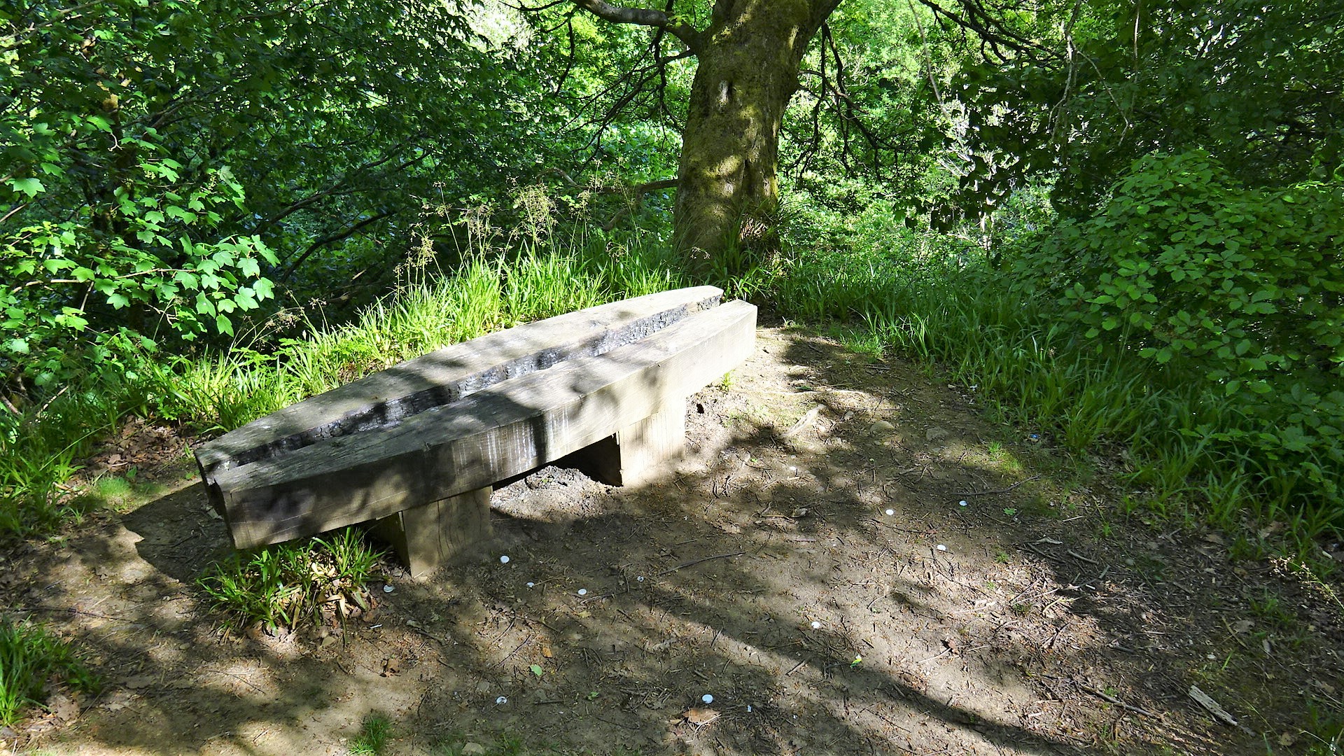
Mote Hill and seat, Cumnock, East Ayrshire, Scotland.jpg - Rosser1954

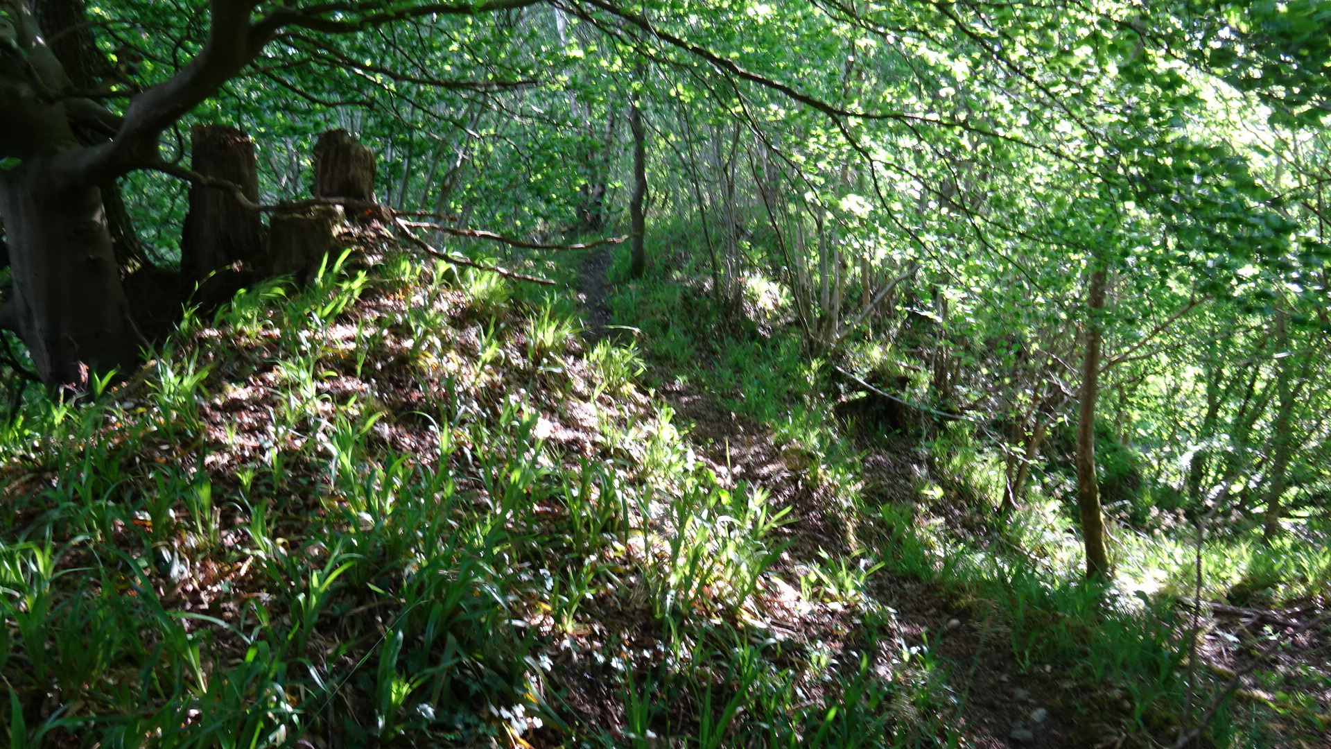
Mote Hill mound and path, Cumnock, East Ayrshire, Scotland.jpg - Rosser1954

Mote Hill pond site and path, Cumnock, East Ayrshire, Scotland.jpg - Rosser1954

Equisetum sylvaticum (Wood Horsetail), Mote Hill, Cumnock, East Ayrshire.jpg - Rosser1954

Leifnorris Castle site, Dumfries House, Ayrshire.jpg - Rosser1954

Old Leifnorris Castle site, Dumfries House, Ayrshire.jpg - Rosser1954

Ordnance Survey One-Inch Sheet 67 Ayr, Published 1964 2.jpg - Kognos

Ordnance Survey One-Inch Sheet 78 Kilmarnock & Ayr, Published 1925.jpg - Kognos

Robert Burns Academy.jpg - Goodreg3
❮
❯


