Wikimedi'Òc
Modes d'emploi

Cet album fait partie des albums
Cet album photos contient les sous-albums suivants :


Croxley Tube Station - exterior.JPG - Jguk~commonswiki

Croxley Tube Station - looking north.JPG - Jguk~commonswiki

Croxley Tube Station - Platform.JPG - Jguk~commonswiki

Watford Stadium Station.jpg - Lamberhurst

Croxley rail link.png - RaviC

Croxley Green Branch from mainline - geograph.org.uk - 19937.jpg - GeographBot
Viaduct of Metropolitan Line over Gade Avenue, Watford - geograph.org.uk - 464936.jpg - GeographBot
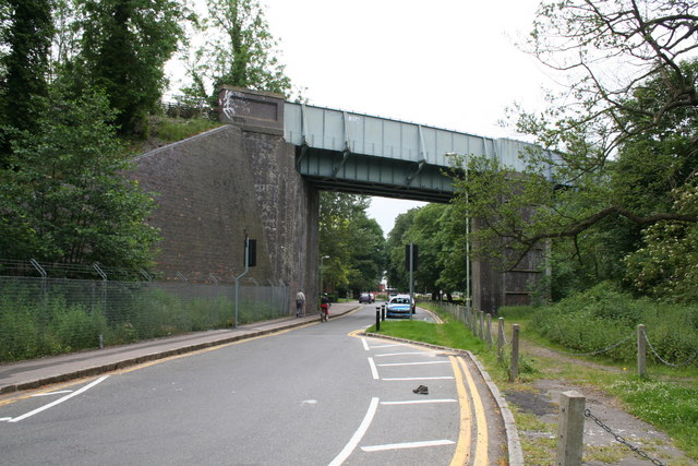
Watford, Ascot Road railway bridge - geograph.org.uk - 735534.jpg - GeographBot

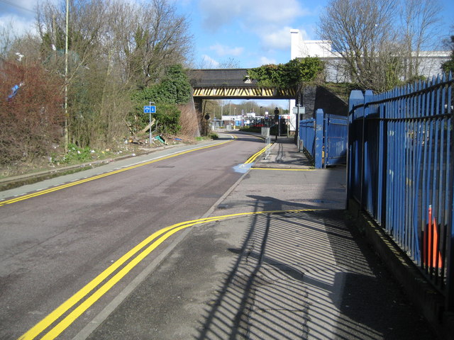
Watford, Former Croxley Green branch line railway - geograph.org.uk - 732303.jpg - GeographBot

Watford, Former Croxley Green branch line railway - geograph.org.uk - 1023882.jpg - GeographBot

Watford, Disused railway to Croxley Green - geograph.org.uk - 1628853.jpg - GeographBot

Bridge carrying Croxley Green branch railway over the Grand Union Canal (Geograph 2160635 by Graham Horn).jpg - Flying Stag

Croxley rail link map.png - Cnbrb

Watford, Vicarage Road railway bridge - Geograph-3598174-by-Nigel-Cox.jpg - Cnbrb

Croxley rail link stations old and new.png - Cnbrb

Watford and Rickmansworth Railway.png - Cnbrb

Croxley - geograph-3598232-by-Nigel-Cox.jpg - Lamberhurst

Croxley Rail Link (4), Ascot Road - geograph.org.uk - 3594594.jpg - GeographBot

Croxley Rail Link (5), Ascot Road - geograph.org.uk - 3598041.jpg - GeographBot

Croxley Rail Link (7), Site of the proposed Watford Hospital station - geograph.org.uk - 3598154.jpg - GeographBot

Croxley Rail Link (9), Vicarage Road looking south-west - geograph.org.uk - 3598195.jpg - GeographBot

Croxley Rail Link - work in progress - geograph.org.uk - 3649595.jpg - GeographBot

Croxley Rail Link (12), Site of the proposed Watford Vicarage Road Station - geograph.org.uk - 4764241.jpg - GeographBot

Croxley Rail Link (14), Trackbed north-west of the former Watford West Station - geograph.org.uk - 4764260.jpg - GeographBot

Railway cutting - geograph.org.uk - 4858901.jpg - GeographBot

Railway cutting, Watford - geograph.org.uk - 4858902.jpg - GeographBot