Wikimedi'Òc
Modes d'emploi

Cet album fait partie des albums
Cet album photos contient les sous-albums suivants :


Black Swan Inn - geograph.org.uk - 29401.jpg - GeographBot

Crathorne Village Shop and Post Office - geograph.org.uk - 21960.jpg - GeographBot

Crathorne Cricket Club Pavilion - geograph.org.uk - 66755.jpg - GeographBot

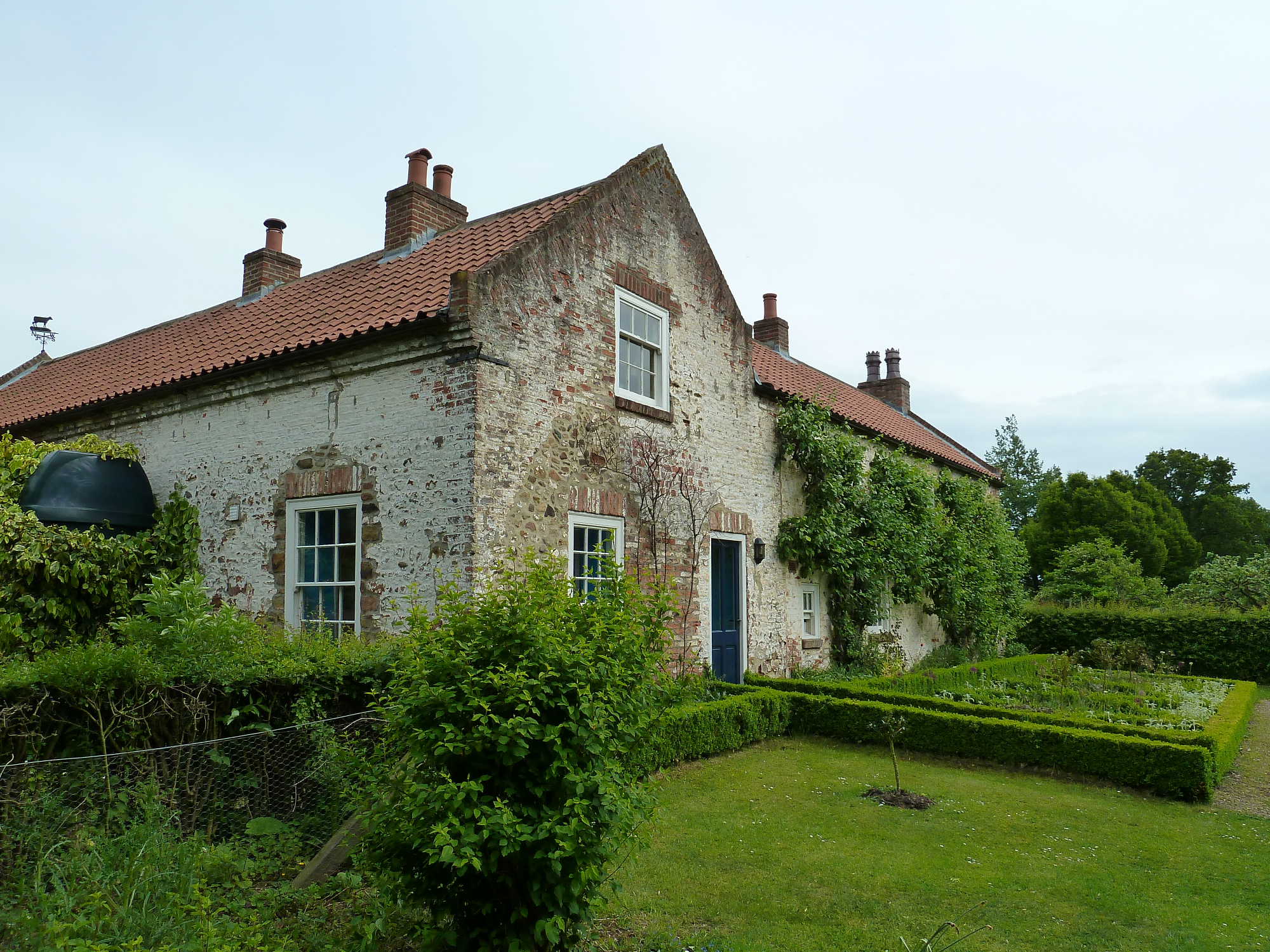
Doddle Hill Farm - geograph.org.uk - 66760.jpg - GeographBot

Field Adjacent to New Dales Plantation - geograph.org.uk - 66753.jpg - GeographBot
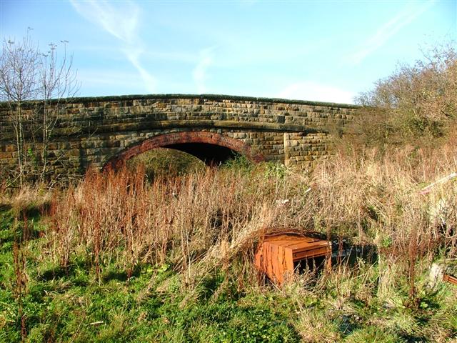
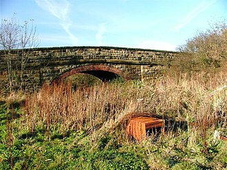
Peter Hill Bridge, Trenholme Lane - geograph.org.uk - 81293.jpg - GeographBot

Telecomms Tower, Campion Lane - geograph.org.uk - 81297.jpg - GeographBot

Green Lane - geograph.org.uk - 140997.jpg - GeographBot

Fence Near Manor House Farm - geograph.org.uk - 119964.jpg - GeographBot

Toft Hill Farm - geograph.org.uk - 141001.jpg - GeographBot

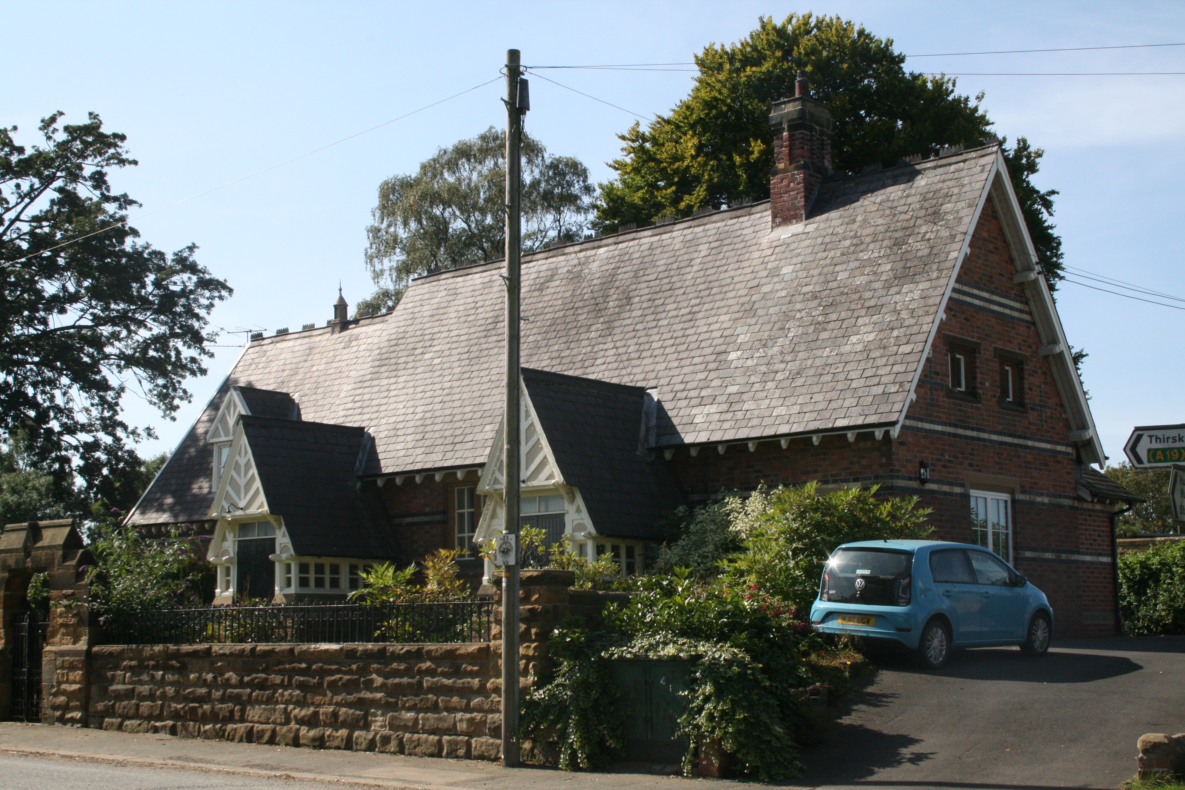
Craythorne Village Hall - geograph.org.uk - 193994.jpg - GeographBot

The A19 dual carriageway from the overbridge into Craythorne - geograph.org.uk - 193991.jpg - GeographBot

Five Houses - geograph.org.uk - 843303.jpg - GeographBot

Crathorne cottages.jpg - Victuallers

Crathorne cottage.jpg - Victuallers

North West outbuilding maybe.jpg - Victuallers

Crathorne rectory 01.jpg - Victuallers

Crathorne rectory 02.jpg - Victuallers

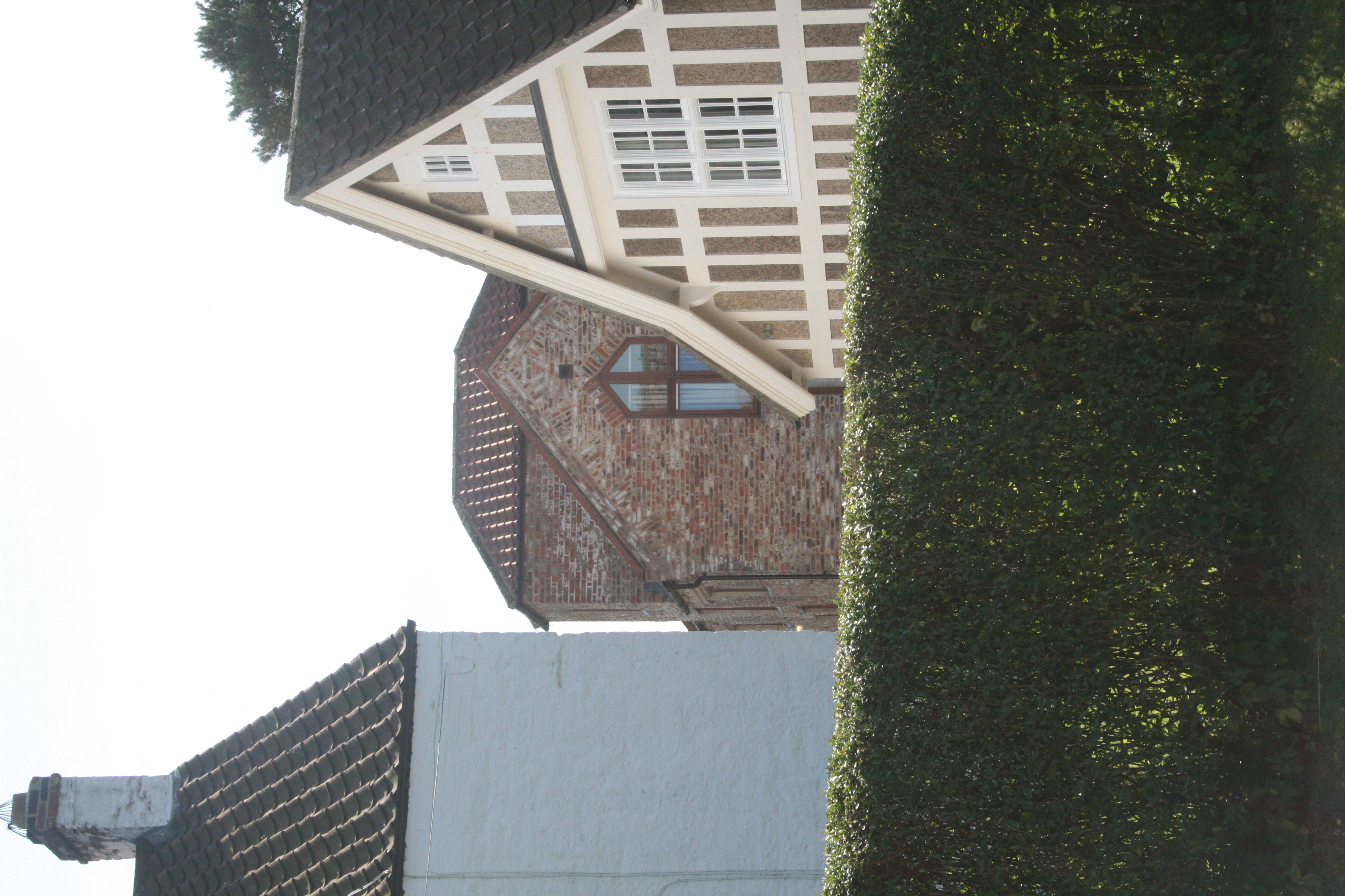
Cottages by church, Crathorn 02.jpg - Mainlymazza

Cottages by church, Crathorn 01.jpg - Mainlymazza

The rectory, Crathorn.jpg - Mainlymazza

Chaple house, Crathorn.jpg - Mainlymazza
Old school, seen behind Reading Room.jpg - Mainlymazza

Cottages Crathorn.jpg - Mainlymazza

Town End Farmhouse, Crathorne 03.jpg - Mainlymazza

Town End Farmhouse, Crathorne 02.jpg - Mainlymazza

Town End Farmhouse, Crathorne 01.jpg - Mainlymazza

Town End Farmhouse, Crathorne 04.jpg - Mainlymazza
Old school house, Crathorne 01.jpg - Mainlymazza

Old school house, Crathorne 02.jpg - Mainlymazza

Field by Manor House farm, Crathorne - geograph.org.uk - 1900946.jpg - GeographBot

Corps House Farm - geograph.org.uk - 1900965.jpg - GeographBot

Farm Track to West Moor Farm - geograph.org.uk - 1900972.jpg - GeographBot

River Leven - geograph.org.uk - 2050828.jpg - GeographBot

Park Wood - geograph.org.uk - 2050844.jpg - GeographBot

Footpath along the edge of Park Wood - geograph.org.uk - 2050877.jpg - GeographBot

Hunter Banks - geograph.org.uk - 2050893.jpg - GeographBot

Hind House - geograph.org.uk - 2050895.jpg - GeographBot

Foxton Fox Covert - geograph.org.uk - 2050938.jpg - GeographBot

Bridleway looking north towards Foxton - geograph.org.uk - 2050947.jpg - GeographBot

Thin strip of maize growing along side Margaret Coey Wood - geograph.org.uk - 2051006.jpg - GeographBot

Autumn leaves at Crathorne Hall Hotel - geograph.org.uk - 2082073.jpg - GeographBot

Road markings on the A19(T) road - geograph.org.uk - 2082082.jpg - GeographBot

Long Lane - geograph.org.uk - 2082089.jpg - GeographBot

Traffic flow on the A19(T) road - geograph.org.uk - 2090305.jpg - GeographBot

York Street - looking north - geograph.org.uk - 2090331.jpg - GeographBot

View from Lime Bridge - geograph.org.uk - 2090349.jpg - GeographBot

Garbutts Lane - looking north - geograph.org.uk - 2090400.jpg - GeographBot

Crathorne Bridge - geograph.org.uk - 2151065.jpg - GeographBot

Crathorne Bridge from the Leven - geograph.org.uk - 2151075.jpg - GeographBot

Foxton Lane over Crathorne Bridge - geograph.org.uk - 2151085.jpg - GeographBot

Metal Signpost - geograph.org.uk - 2151092.jpg - GeographBot

Crathorne Reading Room - geograph.org.uk - 2429447.jpg - GeographBot

River Leven, Crathorne - geograph.org.uk - 2429610.jpg - GeographBot
Park House, Crathorne - geograph.org.uk - 2429816.jpg - GeographBot

Peter Pond, nr Crathorne - geograph.org.uk - 2429830.jpg - GeographBot

Hind House, Foxton, nr Crathorne - geograph.org.uk - 2429835.jpg - GeographBot

The Mill House, Crathorne - geograph.org.uk - 2429838.jpg - GeographBot

The road through Crathorne, with the Post Office on the right - geograph.org.uk - 2535232.jpg - GeographBot

Crathorne - geograph.org.uk - 2599915.jpg - GeographBot

Crathorne Post Office - geograph.org.uk - 2641379.jpg - GeographBot

Post Office in Crathorne - geograph.org.uk - 2813597.jpg - GeographBot

Front lawn, Crathorne Hall Hotel - geograph.org.uk - 2953326.jpg - GeographBot

View south from the Crathorne Hall Hotel - geograph.org.uk - 2953334.jpg - GeographBot

Corner stone, Crathorne House - geograph.org.uk - 2953346.jpg - GeographBot

Dugdale coat-of-arms - geograph.org.uk - 2953376.jpg - GeographBot

A stone urn on a parapet - geograph.org.uk - 2953583.jpg - GeographBot

Topiary work and budding bluebells - geograph.org.uk - 2953601.jpg - GeographBot

Car park at Crathorne House Hotel - geograph.org.uk - 2953615.jpg - GeographBot

A decorative urn on the lawn - geograph.org.uk - 2953626.jpg - GeographBot

Paddock behind Crathorne Hall stable block - geograph.org.uk - 2953641.jpg - GeographBot

Paddock and an estate cottage - geograph.org.uk - 2953647.jpg - GeographBot

Rear access to stables courtyard - geograph.org.uk - 2953660.jpg - GeographBot

Archway entrance to stable yard - geograph.org.uk - 2953671.jpg - GeographBot

Exit from the stable yard - geograph.org.uk - 2953679.jpg - GeographBot

Stone gatepost, Crathorne Hall - geograph.org.uk - 2953706.jpg - GeographBot

Farmland, Mount Flatts Farm - geograph.org.uk - 3278791.jpg - GeographBot

Track to Mount Flatts Farm - geograph.org.uk - 3278792.jpg - GeographBot

Corps House Farm - geograph.org.uk - 3278797.jpg - GeographBot

Farm track off York Street - geograph.org.uk - 3278799.jpg - GeographBot

York Street heading north - geograph.org.uk - 3278800.jpg - GeographBot

Farmland off Back Lane - geograph.org.uk - 3278803.jpg - GeographBot

Back Lane heading east - geograph.org.uk - 3278806.jpg - GeographBot

Farmland, Five Houses - geograph.org.uk - 3278843.jpg - GeographBot

Road to Five Houses - geograph.org.uk - 3278844.jpg - GeographBot

Minor road heading south - geograph.org.uk - 3278847.jpg - GeographBot

Crathorne Post Office and shop - geograph.org.uk - 3278851.jpg - GeographBot

Road heading south through Crathorne - geograph.org.uk - 3278854.jpg - GeographBot

Crathorne Village Hall - geograph.org.uk - 3278857.jpg - GeographBot

Farmland, Cow Hill - geograph.org.uk - 3278866.jpg - GeographBot

Minor road towards Hutton Rudby - geograph.org.uk - 3278871.jpg - GeographBot

Low Flats Plantation - geograph.org.uk - 3500140.jpg - GeographBot

Patchy rape field - geograph.org.uk - 3500148.jpg - GeographBot

A19 lay-by with emergency telephone - geograph.org.uk - 3500155.jpg - GeographBot

The A19 south of Crathorne - geograph.org.uk - 3500158.jpg - GeographBot

The road leading to the A19 - geograph.org.uk - 3534309.jpg - GeographBot

Old milepost - geograph.org.uk - 7514869.jpg - GeographBot

Northbound A19 near Crathorne - geograph.org.uk - 4041811.jpg - GeographBot

A19 South of Crathorne - geograph.org.uk - 4041818.jpg - GeographBot

York Street - geograph.org.uk - 4415800.jpg - GeographBot

Wooded embankment, former Stokesley railway line - geograph.org.uk - 4415805.jpg - GeographBot

View towards Mount Flatts Farm - geograph.org.uk - 4415878.jpg - GeographBot

Drain running north-east from Lime Bridge - geograph.org.uk - 4415881.jpg - GeographBot

Drained farmland north of Lime Bridge - geograph.org.uk - 4415885.jpg - GeographBot

York Street (1) - geograph.org.uk - 4415892.jpg - GeographBot

Corps House Farm, from York Street - geograph.org.uk - 4415897.jpg - GeographBot

Field alongside Corps House Farm - geograph.org.uk - 4415900.jpg - GeographBot

York Street (2) - geograph.org.uk - 4415904.jpg - GeographBot

Farmland south-east of Corps House Farm - geograph.org.uk - 4415906.jpg - GeographBot

Farmland north-east of Corps House Farm - geograph.org.uk - 4415910.jpg - GeographBot

Back Lane (1) - geograph.org.uk - 4415918.jpg - GeographBot

Back Lane (2) - geograph.org.uk - 4415920.jpg - GeographBot

Arable farmland, north side of Back Lane - geograph.org.uk - 4415927.jpg - GeographBot

Arable field between Back Lane and York Street - geograph.org.uk - 4416044.jpg - GeographBot

Tree shadow on an arable field margin, off Back Lane - geograph.org.uk - 4416049.jpg - GeographBot

York Street (1) - geograph.org.uk - 4416052.jpg - GeographBot

Track heading west towards Glebe Farm - geograph.org.uk - 4416054.jpg - GeographBot

Main entrance to Glebe Farm - geograph.org.uk - 4416056.jpg - GeographBot

York Street (2) - geograph.org.uk - 4416058.jpg - GeographBot
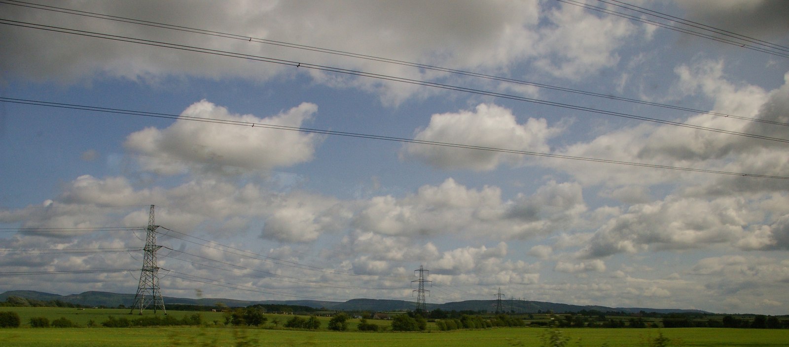
Pylon lines east of Picton - geograph.org.uk - 4596203.jpg - GeographBot

Ordnance Survey Cut Bench Mark - geograph.org.uk - 5420184.jpg - GeographBot

Archway to the Stable Block, Crathorne Hall - geograph.org.uk - 5710347.jpg - GeographBot

Bathing Curiosity, Crathorne Hall Hotel - geograph.org.uk - 5710350.jpg - GeographBot

York Street - geograph.org.uk - 6676403.jpg - GeographBot

York Street - geograph.org.uk - 6676407.jpg - GeographBot

Back Lane - geograph.org.uk - 6676410.jpg - GeographBot

Back Lane - geograph.org.uk - 6676445.jpg - GeographBot

Road junction - geograph.org.uk - 6676450.jpg - GeographBot

All Saints Church - geograph.org.uk - 6676453.jpg - GeographBot

Country road - geograph.org.uk - 6676458.jpg - GeographBot

A lay-by on the A19 near Crathorne - geograph.org.uk - 6944355.jpg - GeographBot

A lay-by on the A19 near Crathorne - geograph.org.uk - 6944359.jpg - GeographBot

Crathorne, All Saints church - geograph.org.uk - 7104180.jpg - GeographBot

Crathorne, All Saints church - geograph.org.uk - 7104184.jpg - GeographBot

Crathorne, old school wall - geograph.org.uk - 7104191.jpg - GeographBot

Crathorne, old school - geograph.org.uk - 7104194.jpg - GeographBot