Wikimedi'Òc
Modes d'emploi

Cet album fait partie des albums
Cet album photos contient les sous-albums suivants :


Field - geograph.org.uk - 181113.jpg - GeographBot

Footpath^ - geograph.org.uk - 181105.jpg - GeographBot

Gravel Pit Entrance - geograph.org.uk - 181108.jpg - GeographBot

Middle Farm entrance - geograph.org.uk - 181110.jpg - GeographBot

Reservoir - geograph.org.uk - 181112.jpg - GeographBot

Gravel pit SE of Bedford in the terraces of the Gt Ouse - geograph.org.uk - 225984.jpg - GeographBot

Soil profile in river alluvium, Gt Ouse floodplain SE of Bedford - geograph.org.uk - 225985.jpg - GeographBot

Water-filled gravel pit, Cople, Beds - geograph.org.uk - 225987.jpg - GeographBot

Bedford scenery - geograph.org.uk - 288797.jpg - GeographBot

Willington Quarry - geograph.org.uk - 288767.jpg - GeographBot

Fields on Wood End Farm - geograph.org.uk - 549725.jpg - GeographBot

New pond and deciduous planting on Wood End Farm - geograph.org.uk - 549769.jpg - GeographBot

Park Lane (track) looking north - geograph.org.uk - 549672.jpg - GeographBot

Park Lane (track) looking south - geograph.org.uk - 549667.jpg - GeographBot

Cople and Willington from the air - geograph.org.uk - 2409117.jpg - GeographBot

Bedford bypass - geograph.org.uk - 2677690.jpg - GeographBot

Castle Mill Sluice - geograph.org.uk - 2731414.jpg - GeographBot

Castle Mill Lock - geograph.org.uk - 2731416.jpg - GeographBot
Bridleway towards Castle Mill Farm - geograph.org.uk - 3589559.jpg - GeographBot

Castle Mill Lock - geograph.org.uk - 3589565.jpg - GeographBot

Great Ouse above Castle Mill weir and lock - geograph.org.uk - 3589567.jpg - GeographBot

Cople Road, heading east to Cople - geograph.org.uk - 3631816.jpg - GeographBot

Farmland west of Cople - geograph.org.uk - 3633114.jpg - GeographBot

Farmland at Mox Hill - geograph.org.uk - 3633141.jpg - GeographBot

The summit ridge of Mox Hill - geograph.org.uk - 3633151.jpg - GeographBot

A421 northbound - geograph.org.uk - 4431377.jpg - GeographBot

A421 northbound - geograph.org.uk - 4431380.jpg - GeographBot

All Saints' church, Cople - geograph.org.uk - 4509158.jpg - GeographBot

Sundial, All Saints' church Cople - geograph.org.uk - 4509176.jpg - GeographBot

Bridleway heading to Sandy - geograph.org.uk - 4602730.jpg - GeographBot

Small wood in the field - geograph.org.uk - 4602732.jpg - GeographBot

Drain by the wheatfield - geograph.org.uk - 4602736.jpg - GeographBot

Field by Northill Road with airship hangars beyond - geograph.org.uk - 4602737.jpg - GeographBot

Path by Dog Farm - geograph.org.uk - 4602755.jpg - GeographBot

Bridleway to Dog Farm - geograph.org.uk - 4602757.jpg - GeographBot

Thatched cottage by the bridleway - geograph.org.uk - 4602760.jpg - GeographBot

Way marker on the path to Water End - geograph.org.uk - 4602765.jpg - GeographBot

Cople cricket field - geograph.org.uk - 4602767.jpg - GeographBot

Path to Northill Road - geograph.org.uk - 4602772.jpg - GeographBot

Path to Northill Road - geograph.org.uk - 4602775.jpg - GeographBot

Bench in the Water End woodland - geograph.org.uk - 4602777.jpg - GeographBot

On the path to Water End - geograph.org.uk - 4602780.jpg - GeographBot

Path to Cople - geograph.org.uk - 4602784.jpg - GeographBot

Ouse Valley Way - geograph.org.uk - 4602787.jpg - GeographBot

Curving drainage ditch by the path - geograph.org.uk - 4602794.jpg - GeographBot

Drain flowing to the Ouse - geograph.org.uk - 4602797.jpg - GeographBot

Lake in an old pit - geograph.org.uk - 4602804.jpg - GeographBot

Bridleway to Cople - geograph.org.uk - 4602807.jpg - GeographBot

Path towards Dog Farm - geograph.org.uk - 4602809.jpg - GeographBot

Bridleway off Grange Lane - geograph.org.uk - 4602812.jpg - GeographBot

Lay-by A421 - geograph.org.uk - 4873433.jpg - GeographBot

A421, eastbound - geograph.org.uk - 5005197.jpg - GeographBot

Bridleway to Hoo Farm - geograph.org.uk - 5096108.jpg - GeographBot

Electricity lines by the path to Hill Farm - geograph.org.uk - 5096132.jpg - GeographBot

Footbridge crossing the A421 - geograph.org.uk - 5448689.jpg - GeographBot

Lay-By on the A421 - geograph.org.uk - 5479131.jpg - GeographBot

Lay-by on the A421 - geograph.org.uk - 5853736.jpg - GeographBot

Willington Tollhouse by the A603, Bedford Road, Willington - geograph.org.uk - 6083730.jpg - GeographBot

BridlewaySignCastleMill.JPG - Simonxag

Bedford Road at the junction of Willingham Road - geograph.org.uk - 6627240.jpg - GeographBot

Houses on Willingham Road, Cople - geograph.org.uk - 6629817.jpg - GeographBot

Layby on the A421, Bedford - geograph.org.uk - 6652581.jpg - GeographBot

Layby on the A421, Bedford - geograph.org.uk - 6652582.jpg - GeographBot

Footpath T junction - geograph.org.uk - 6879347.jpg - GeographBot

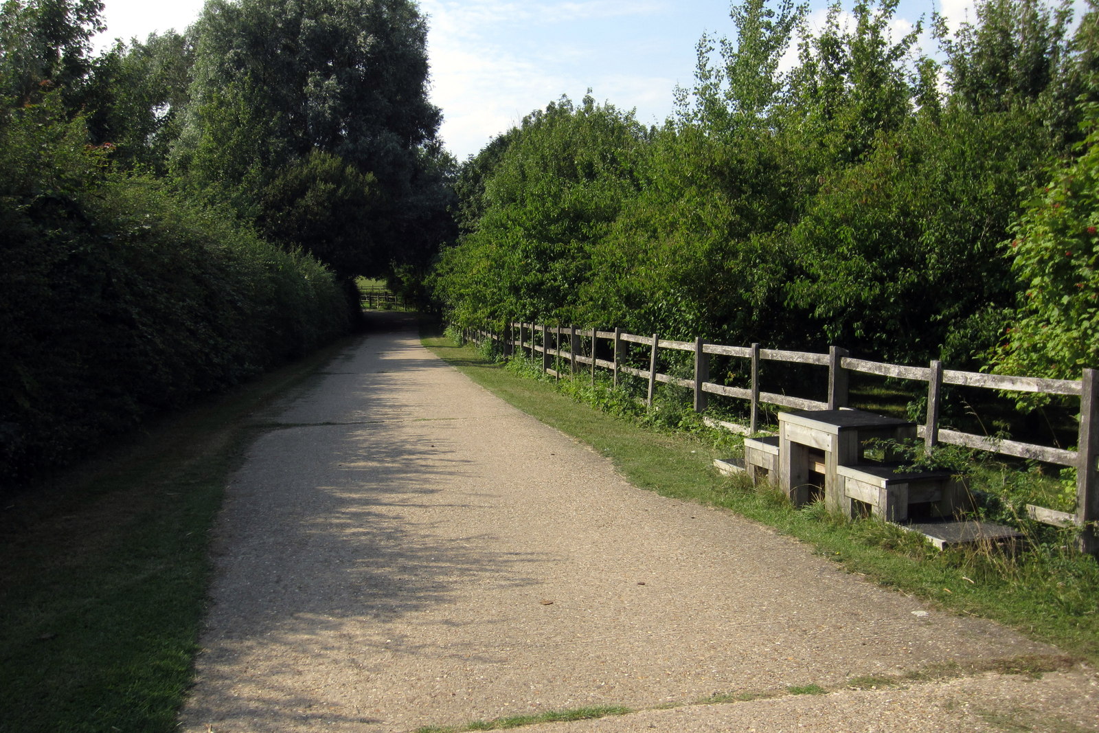
Bench for the weary walker by the footpath to Cople - geograph.org.uk - 6879359.jpg - GeographBot

Footpath to Cople - geograph.org.uk - 6879363.jpg - GeographBot

Undulating barley looking towards Moxhill Farm - geograph.org.uk - 6879383.jpg - GeographBot

Track to Wood End Farm - geograph.org.uk - 6879390.jpg - GeographBot

Not particularly passable footpath to Cople or Greensand Ridge - geograph.org.uk - 6879397.jpg - GeographBot

Field bounded by a rectangular strip of woodland - geograph.org.uk - 6879400.jpg - GeographBot

River Great Ouse - geograph.org.uk - 7192925.jpg - GeographBot