Wikimedi'Òc
Modes d'emploi

Cet album fait partie des albums
Cet album photos contient les sous-albums suivants :


Massachusetts Turnpike Bridge over the Connecticut River, Chicopee MA.jpg - Faolin42

Dscn3099 connecticut river french king bridge.jpg - Urban~commonswiki
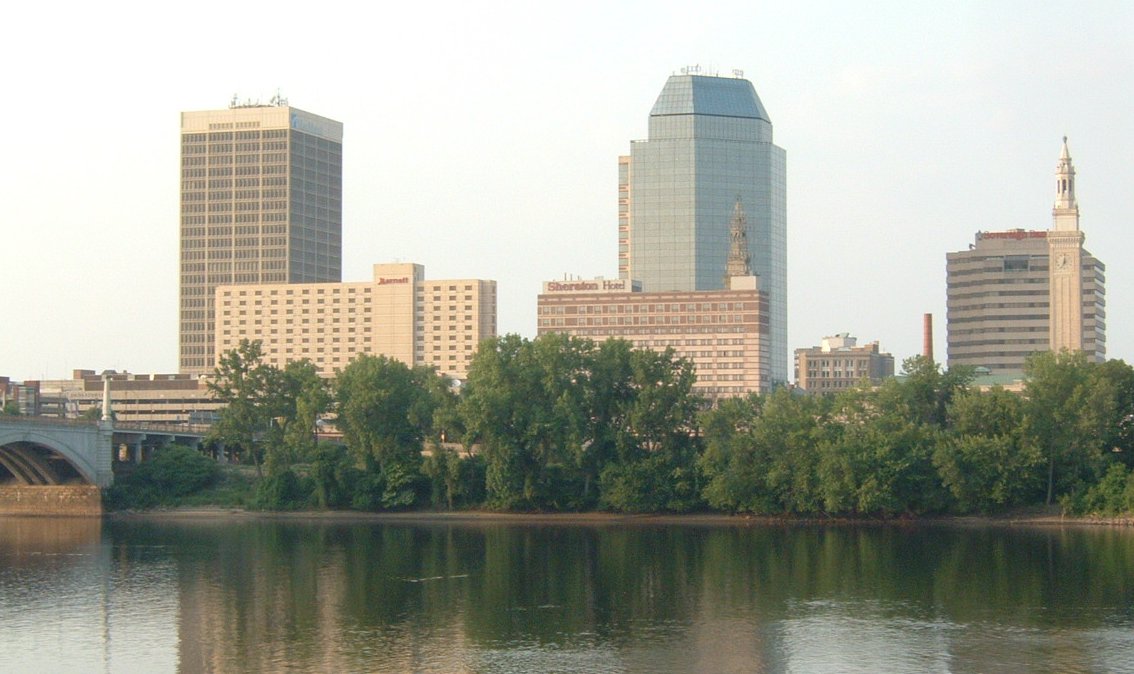
Springfield-MA.jpg - Ironass

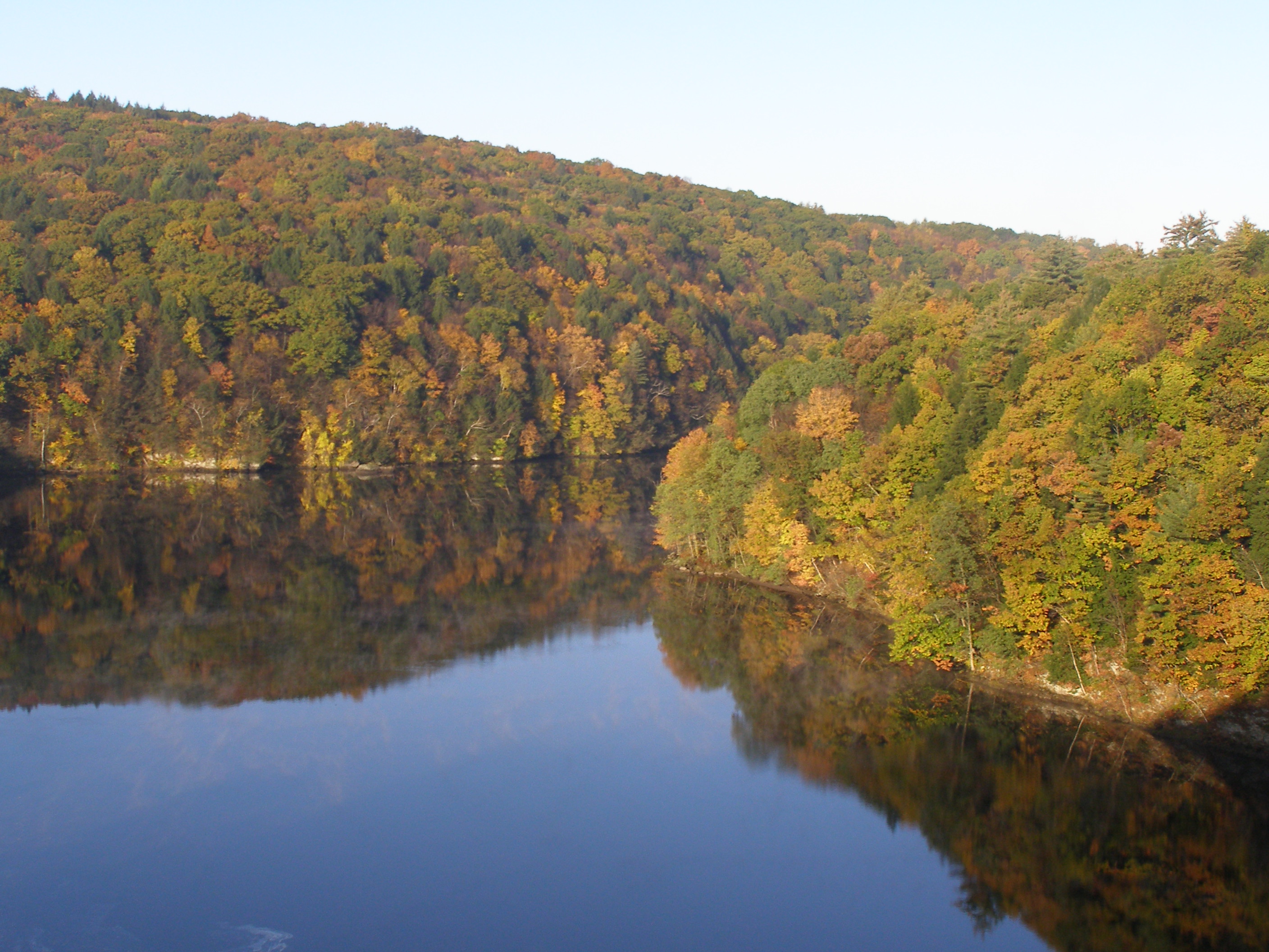
IMG 3758 view north from French King Bridge.jpg - Denimadept
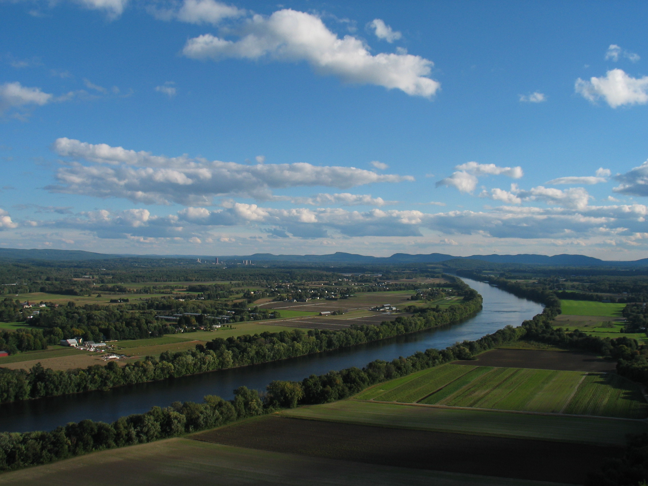
Pioneer Valley South From Mt. Sugarloaf.jpg - Ibn Battuta

East South East View, Mt Sugarloaf, South Deerfield MA.jpg - HP R817

CT River at Turners Falls.jpg - Marcbela
Mount Tom Massachusetts.jpg - Gemini1980
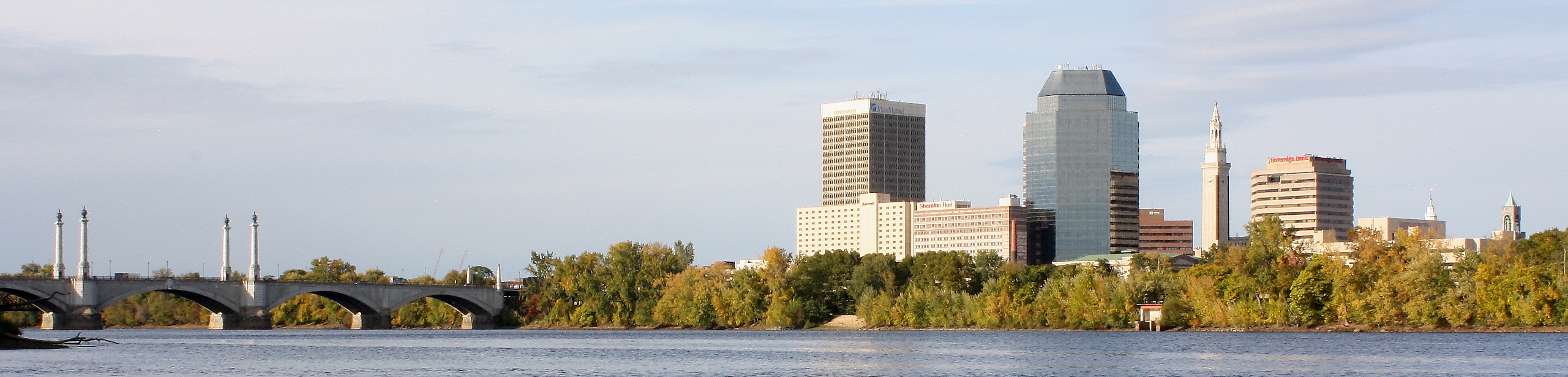
Springfield Skyline, MA.jpg - Flickr upload bot

Detroit Photographic Company (0398).jpg - JovanCormac
Autumn Massachusetts 1.jpg - -jkb-

Picturesque America55.jpg - Androstachys

MtSugarloafNorthSouth.JPG - Ish ishwar

Brooklyn Museum - View of Springfield on the Connecticut River - Alvan Fisher - overall.jpg - Trzęsacz

Victor DeGrailly-Traveler by Oxbow.jpg - Rsberzerker
Holyoke, Massachusetts - Scenes. Plants of the pristine industries of the River-side, now housing textile and... - NARA - 518357.jpg - US National Archives bot
View south from Sugarloaf Mountain, Deerfield MA.jpg - Faolin42

Connecticut River Walk Park, Springfield MA.jpg - Faolin42

West Springfield Power Plant, West Springfield MA.jpg - Faolin42

Wastewater Treatment Plant, Amherst, Massachusetts.jpg - Ktr101

1883 Springfield Bicycle Club USA LC.png - M2545

Connecticut River from Mt. Sugarloaf, South Deerfield, MA.jpg - MGA73bot2

HadleyMA SkinnerStatePark RiverView.jpg - Magicpiano

Maury Geography 014A Connecticut river.jpg - Keith Edkins

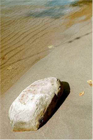
Beach on the Connecticut River.JPG - Ericshawwhite
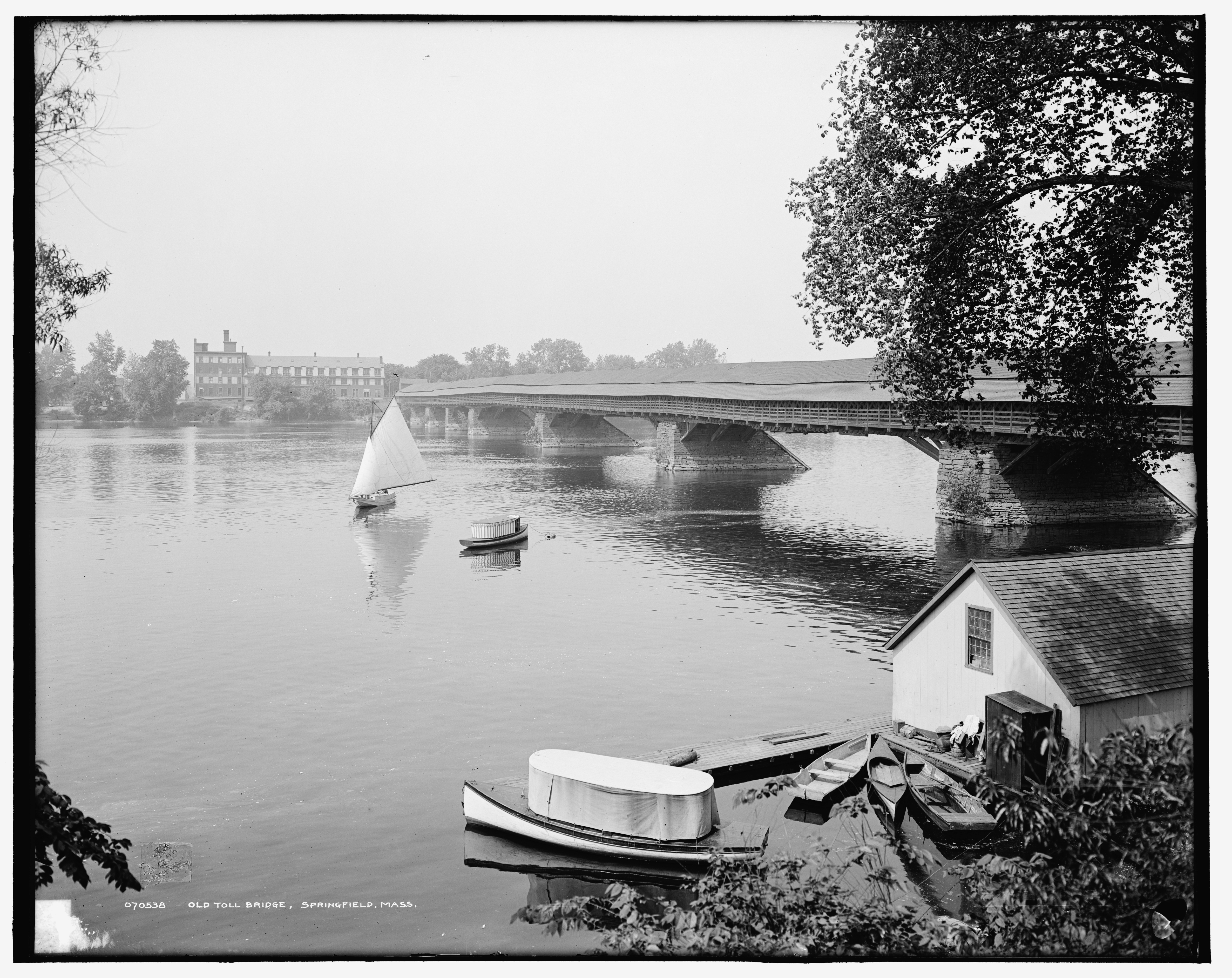
Old Toll Bridge Springfield Mass 1908.jpg - Dms1788

Connecticut River Springfield Mass 1905.jpg - Dms1788

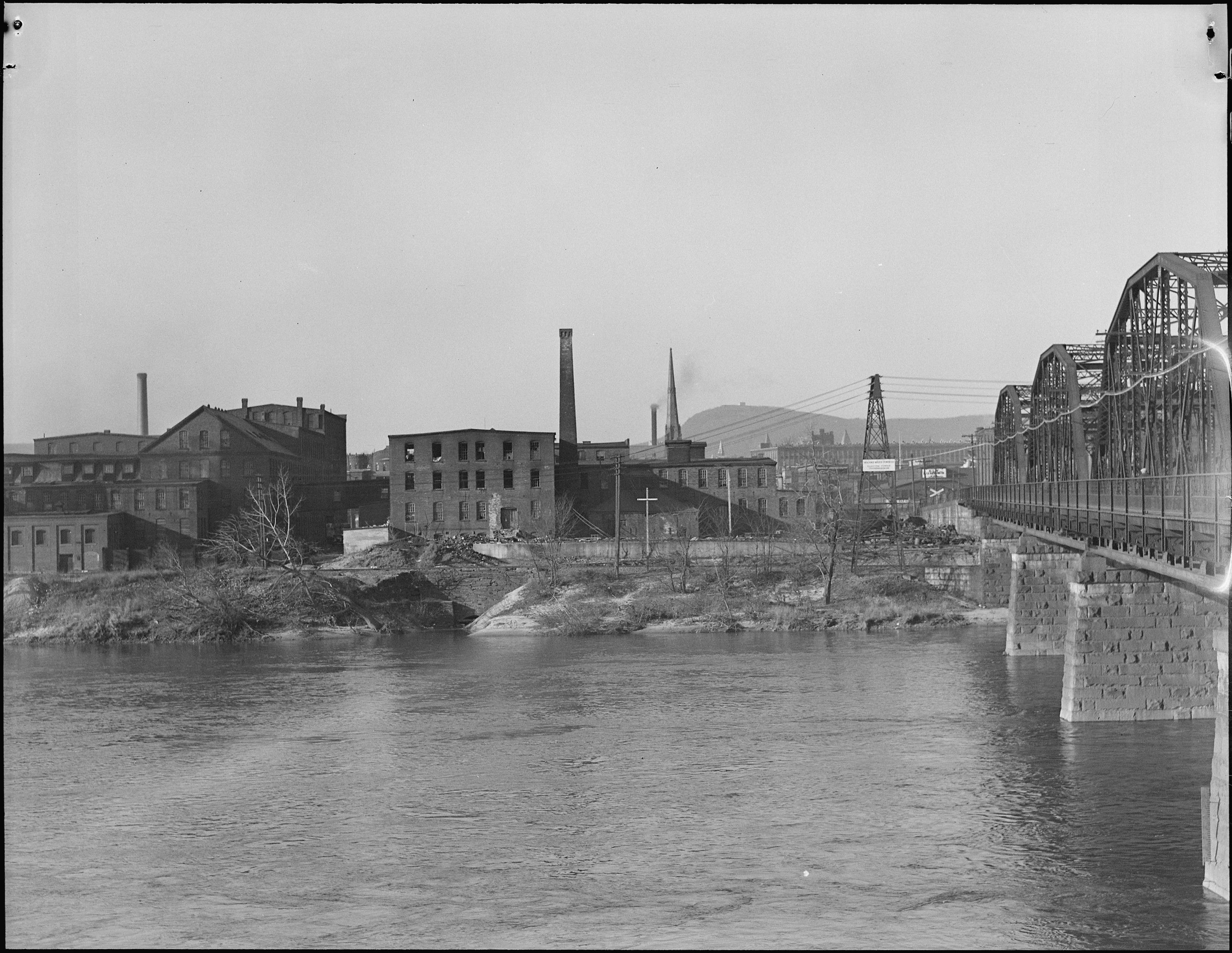
Connecticut River and Springfield Mass 1905.jpg - Dms1788

Connecticut River Springfield Mass 1905 (3).jpg - Dms1788

Connecticut River Springfield Mass 1905 (2).jpg - Dms1788

Forest Park Springfield Mass 1900-1910 01.jpg - Taterian

Oxbow Northampton c 1870.jpg - WindingRoad

Oxbow Northampton 1911.jpg - WindingRoad

Oxbow W H Bartlett 1835.jpg - WindingRoad
The Oxbow, Connecticut River c 1910.jpg - WindingRoad

Oxbow View from Mount Holyoke 1826.jpg - WindingRoad

Mt. Holyoke from Hokanum Ferry (14779449312).jpg - Fæ

Conn. River and Springfield Yacht Club, Springfield, Mass (78026).jpg - Junkyardsparkle

Connecticut River and Springfield Yacht and Canoe Club from club house, Springfield, Mass (72875).jpg - Junkyardsparkle

Pulaski Park and river, Holyoke, Mass (71675).jpg - Junkyardsparkle

Skyline of Holyoke, from Buckley Blvd., at night, Holyoke, Mass (71671).jpg - Junkyardsparkle

View along Conn. River, showing Mt. Holyoke Range, Holyoke, Mass (71674).jpg - Junkyardsparkle
Connecticut River and Holyoke from Mountain Park, Connecticut (NYPL b12647398-67768).tiff - Fæ
Connecticut River and Mt. Holyoke Range from Mountain Park, Connecticut (NYPL b12647398-67769).tiff - Fæ
Springfield and Connecticut River, Springfield, Mass (NYPL b12647398-67886).tiff - Fæ
Holyoke and Connecticut River, Holyoke, Mass (NYPL b12647398-69625).tiff - Fæ
River Front, Springfield, Mass (NYPL b12647398-69669).tiff - Fæ
MtHolyokeRangeAndConnecticut.tif - Simtropolitan
MtTomHolyokeRangeAndConnecticut.tif - Simtropolitan

Connecticut River, Sunderland, MA (4751531667).jpg - Fæ

Connecticut River Valley (8575464880).jpg - Fæ

Connecticut River Reflections (8575465376).jpg - Fæ

Sunderland, MA 1975 (6323211601).jpg - Fæ

Connecticut River (8118152838).jpg - Fæ

Agawamferry toSpringfieldMa.png - Simtropolitan

Connecticut River Oxbow.jpg - Tillman

Train by the Connecticut looking from Springfield North, with Mount Tom in background.png - Simtropolitan

Holyoke Dam during thaw, 2018.jpg - Simtropolitan

American shad being measured for survey at Holyoke Dam.jpg - Simtropolitan

View of Downtown Holyoke, with Canal System highlighted.jpg - Simtropolitan
Ctvalley.jpg - Innotata

Dry Knoll and Mount Nonotuck, Mount Tom Range.JPG - Simtropolitan

Boats on the Connecticut River in Springfield, Massachusetts.png - Simtropolitan

Aerial view of Holyoke and Connecticut River.JPG - Simtropolitan

HolyokeMA JonesRiverRoadLaunch.jpg - Magicpiano

HolyokeMA ConnecticutRiverAccessCenter.jpg - Magicpiano

Captain Elizur Holyoke, centennial pontoon.jpg - Simtropolitan

Harbor seal in Holyoke, MA. Connecticut River. 01.jpg - MPF

Harbor seal in Holyoke, MA. Connecticut River. 02.jpg - LufkinF

Connecticut River Byway - Connecticut River Byway from Mount Sugarloaf - NARA - 7717725.jpg - US National Archives bot

Holyoke, Chicopee, and Westover Air Force Base from International Space Station (2011).jpeg - Ariadacapo

Connecticut River Overflowing Holyoke Dam during the Flood of 1936.jpg - Simtropolitan

Fishing for Shad by Moonlight, at "Jed Day's Landing" (by Clifton Johnson).jpg - Simtropolitan

Holyoke, Massachusetts, Connecticut River Basin Flood Control Project (September 30, 1984).jpg - Simtropolitan

Alvan T. Fisher, Study for "View of Springfield on the Connecticut River", c. 1819, NGA 180856.jpg - Brwz

Connecticut River during the Flood of 1936, looking west toward the Holyoke Dam, March 1936.jpg - Simtropolitan

Connecticut River during the Flood of 1936, looking southwest from river toward South Holyoke, March 1936.jpg - Simtropolitan

Connecticut River during the Flood of 1936, looking east from South Hadley Falls and the Holyoke Dam, March 1936.jpg - Simtropolitan

Connecticut River during the Flood of 1936, view of Springdale, looking west, March 1936.jpg - Simtropolitan

Connecticut River Overflowing Holyoke Dam during the Flood of 1936, view south from Hadley Falls, March 1936.jpg - Simtropolitan

Holyoke Dam, Ward 1 and South Hadley Falls on the Connecticut River during Flood of 1936.jpg - Simtropolitan

Gezicht op de Connecticut vanuit Holyoke Westerly from Prospect Park (titel op object), RP-F-2001-7-1059-12.jpg - Mr.Nostalgic

Holyoke Dam (second), as seen in Gleason's Pictorial Drawing-Room Companion, October 4, 1851.jpg - Simtropolitan

Mount Tom Power Plant from air, looking toward Connecticut River.jpg - Simtropolitan

Pulling water chestnut (Trapa natans) from Log Pond Cove, Holyoke, Massachusetts (2017).jpg - Simtropolitan
Water & related land resources of the Connecticut River Region, Massachusetts (IA CAT10756233).pdf - Faebot

Droning.jpg - Kroger4

View from French King Bridge.jpg - Yefims

Canalside Rail Trail along the Connecticut River, Turners Falls MA.jpg - Faolin42

ConnecticutRiver01LB.jpg - Lesbardd
Oxbow Marina.jpg - GLaDOS
RB-Pkg8010 (49720005786).jpg - Orizan

RB-Pkg8011 (49719469043).jpg - Orizan

Excavator on bargePA090003 (4149109822).jpg - Orizan

Aerial view of Mt. Toby Farm.jpg - Filetime
Connecticut river1.jpg - 5ju989nfhs50

MA-Route-116-Traffic-Over-Sunderland-Bridge-Into-Sunderland-Massachusetts-IMG 5510.jpg - Morrowlong
The falls and dam on the Connecticut River for which the city of Chicopee Falls, Massachusetts, is named, by Carol M. Highsmith, 2019, from the Library of Congress - master-pnp-highsm-57700-57796a.tif - Daderot
The falls and dam on the Connecticut River for which the city of Chicopee Falls, Massachusetts, is named, by Carol M. Highsmith, 2019, from the Library of Congress - master-pnp-highsm-57700-57795a.tif - Daderot
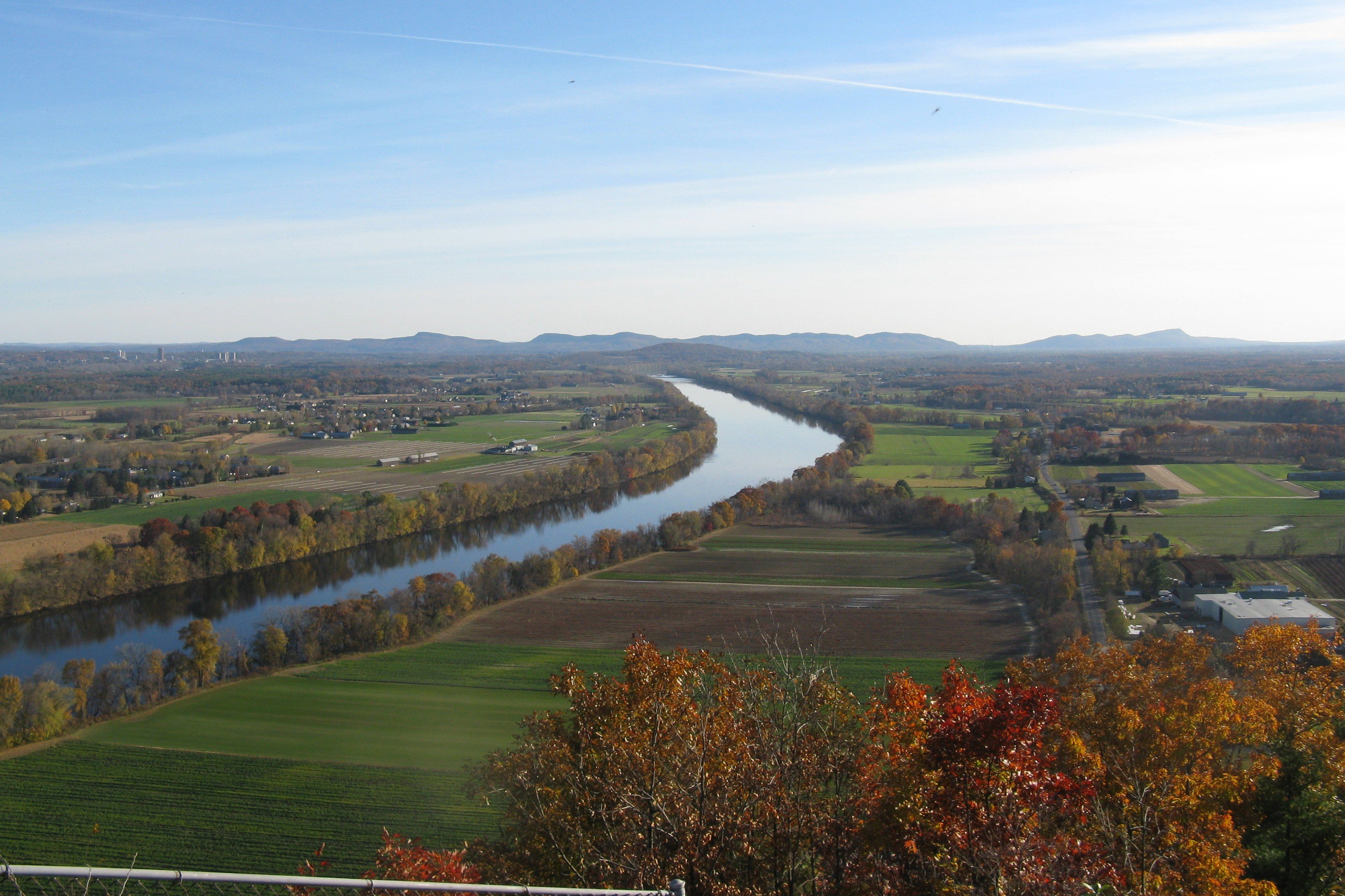
View of the Connecticut River Valley from the summit of Skinner State Park, by Carol M. Highsmith, 2019, from the Library of Congress - master-pnp-highsm-57700-57703a.tiff - Daderot
View of the Connecticut River Valley from the summit of Skinner State Park, by Carol M. Highsmith, 2019, from the Library of Congress - master-pnp-highsm-57700-57705a.tiff - Daderot
View of the Connecticut River Valley from the summit of Skinner State Park, by Carol M. Highsmith, 2019, from the Library of Congress - master-pnp-highsm-57700-57706a.tiff - Daderot
View of the Connecticut River Valley from the summit of Skinner State Park, by Carol M. Highsmith, 2019, from the Library of Congress - master-pnp-highsm-57700-57707a.tiff - Daderot

Connecticut River in Western Massachusetts.png - Swinub

Red Suspension Bridge Abutment, Gill MA.jpg - Faolin42

Riverview Picnic Area, Northfield MA.jpg - Faolin42