Wikimedi'Òc
Modes d'emploi

Cet album fait partie des albums
Cet album photos contient les sous-albums suivants :


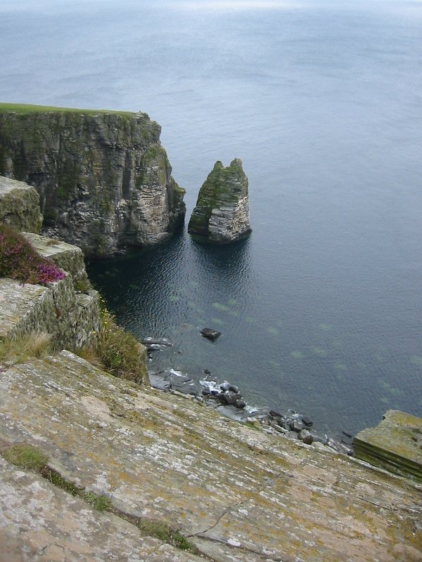
Port Erin stack - Isle of Man.jpg - FlickrLickr

Port-soderick-coastline.jpg - Dankarran

MV Balmoral - Niarbyl - Isle of Man - kingsley - 23-JUN-09.jpg - Gregory J Kingsley
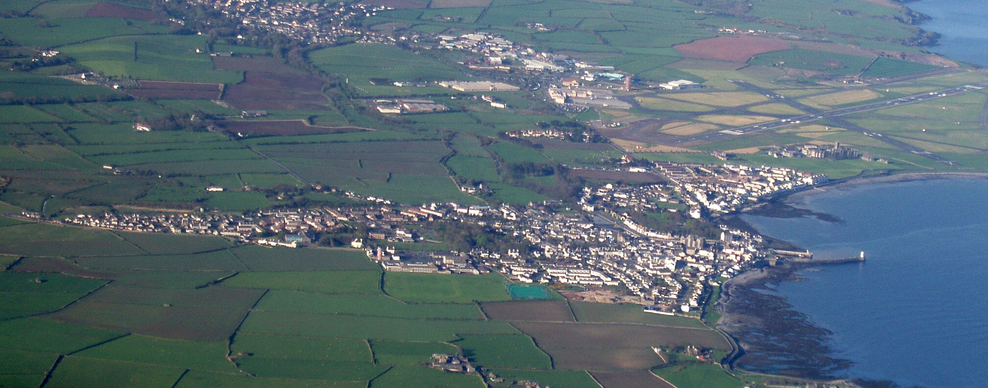
Castletown Aerial View - Isle of Man - kingsley - 30-APR-09.jpg - Malost

Entrance to Marine Drive - geograph.org.uk - 33.jpg - GeographBot

Marine Drive, Douglas, IOM - geograph.org.uk - 32.jpg - GeographBot

Steeply folded rock strata - geograph.org.uk - 30.jpg - GeographBot

Bradda Head - geograph.org.uk - 1537.jpg - GeographBot

Castletown Bay - geograph.org.uk - 5418.jpg - GeographBot

Aldrick - geograph.org.uk - 23998.jpg - GeographBot

Fleshwick Bay - geograph.org.uk - 5223.jpg - GeographBot

Gansey - geograph.org.uk - 2338.jpg - GeographBot

Gob y Deigan - geograph.org.uk - 1350.jpg - GeographBot

Creg Harlot and the Bradda North Mine - geograph.org.uk - 11554.jpg - GeographBot

Looking North along the promenade at Douglas IOM - geograph.org.uk - 602.jpg - GeographBot

North of The Dog Mills - geograph.org.uk - 1597.jpg - GeographBot

Perwick Bay - geograph.org.uk - 5421.jpg - GeographBot

Perwick beach - geograph.org.uk - 5425.jpg - GeographBot

Port of Douglas as the ship approaches. - geograph.org.uk - 603.jpg - GeographBot

Ramsey Pier - geograph.org.uk - 3983.jpg - GeographBot

Rescue of The Adoration - geograph.org.uk - 1300.jpg - GeographBot

Keristal - geograph.org.uk - 24363.jpg - GeographBot

Shark^ - geograph.org.uk - 1308.jpg - GeographBot

Marine Drive, Douglas. - geograph.org.uk - 24253.jpg - GeographBot

Marine Drive, Douglas. - geograph.org.uk - 24254.jpg - GeographBot

The Old Breakwater - geograph.org.uk - 1349.jpg - GeographBot

The beach at Strandhall near Port St Mary IOM - geograph.org.uk - 605.jpg - GeographBot

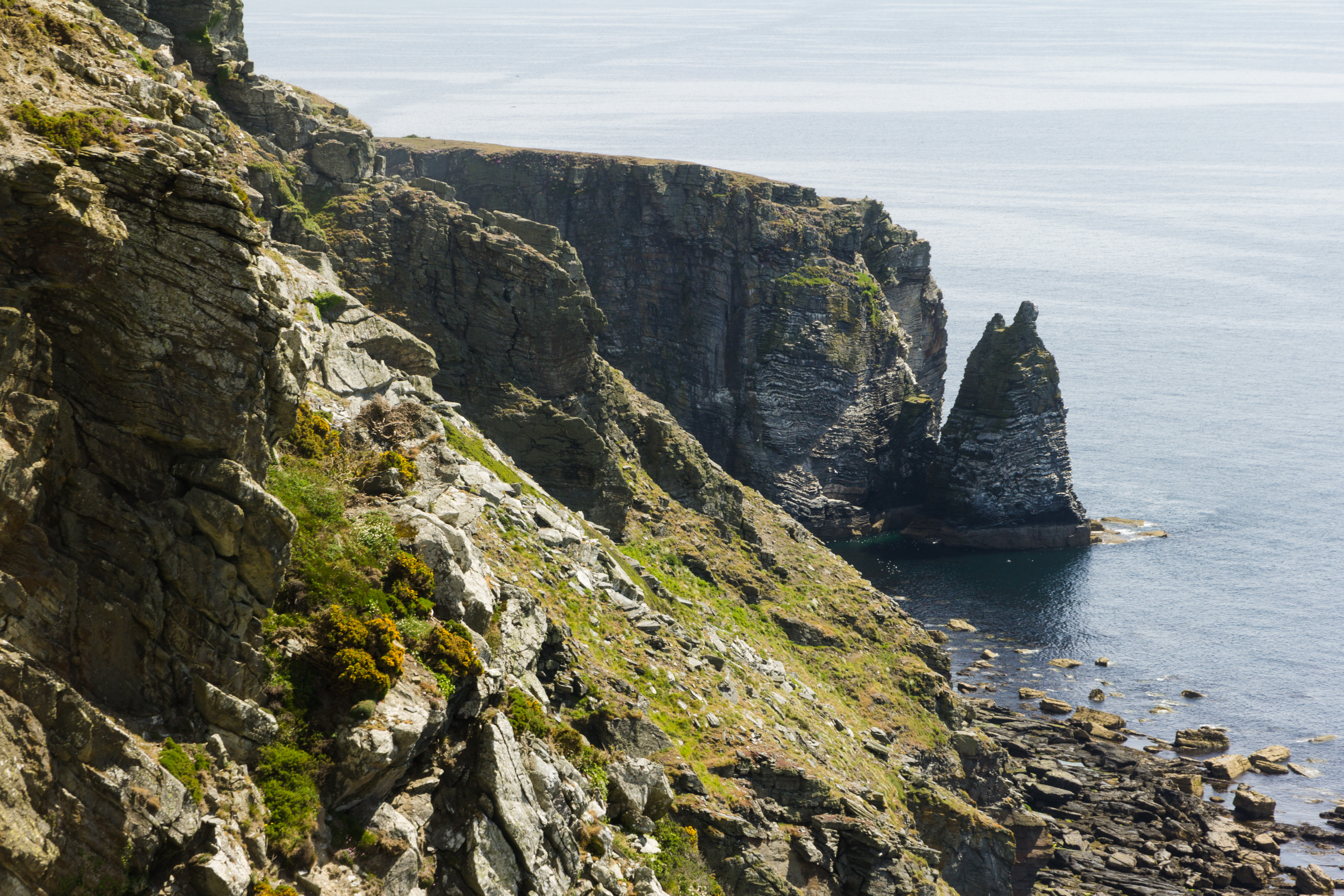
The cliffs of Spanish Head - geograph.org.uk - 1306.jpg - GeographBot

Onchan Harbour - geograph.org.uk - 25507.jpg - GeographBot

View of Douglas from Onchan - geograph.org.uk - 606.jpg - GeographBot

Poyllvaaish - geograph.org.uk - 26215.jpg - GeographBot

Spanish Head - geograph.org.uk - 25505.jpg - GeographBot

Across the Bay - geograph.org.uk - 38410.jpg - GeographBot

Coastline at Glen Wyllin - Isle of Man - geograph.org.uk - 31458.jpg - GeographBot

Conrhenny - Isle of Man - geograph.org.uk - 31609.jpg - GeographBot

Contrary Head - Isle of Man - geograph.org.uk - 31725.jpg - GeographBot

Contrary Head and Peel Hill. Isle of Man - geograph.org.uk - 32208.jpg - GeographBot

Cottage at Orrisdale Isle of Man. - geograph.org.uk - 32980.jpg - GeographBot

Dhoon Beach - Isle of Man - geograph.org.uk - 31719.jpg - GeographBot

Gob ny Garvain - Isle of Man - geograph.org.uk - 32319.jpg - GeographBot

Groudle Headland - geograph.org.uk - 38412.jpg - GeographBot

Hay bales and seascape - Isle of Man - geograph.org.uk - 31428.jpg - GeographBot

Keristal - Isle of Man - geograph.org.uk - 31425.jpg - GeographBot

Gob ny Port Mooar. Isle of Man. - geograph.org.uk - 44556.jpg - GeographBot

North of Fleshwick - Isle of Man - geograph.org.uk - 31712.jpg - GeographBot

Ooig Mooar - Isle of Man - geograph.org.uk - 32324.jpg - GeographBot

Peel to Glenmaye coastal path at Ellan ny Maughol. Isle of Man. - geograph.org.uk - 33006.jpg - GeographBot

Port Mooar - Isle of Man - geograph.org.uk - 32068.jpg - GeographBot

Kallow point - geograph.org.uk - 60272.jpg - GeographBot

Looking towards Ramsey from Port Lewaigue - geograph.org.uk - 61550.jpg - GeographBot

South of the Niarbyl. Isle of Man - geograph.org.uk - 32223.jpg - GeographBot

Perwick bay - geograph.org.uk - 60246.jpg - GeographBot

Port Soldrick - geograph.org.uk - 57647.jpg - GeographBot

Rocky shore near Poyllvaaish - geograph.org.uk - 60262.jpg - GeographBot

The Bollyn Road, north of highest point - geograph.org.uk - 59123.jpg - GeographBot

View from above The Sloc towards Lhiattee ny Beinnee - geograph.org.uk - 63877.jpg - GeographBot

Bradda West - geograph.org.uk - 96658.jpg - GeographBot

Kitterland - geograph.org.uk - 96223.jpg - GeographBot

Port-e-Vullen - geograph.org.uk - 103424.jpg - GeographBot

Coastline near Contrary Head - geograph.org.uk - 119799.jpg - GeographBot

A noisy wilderness - geograph.org.uk - 125804.jpg - GeographBot

The view NW from Bradda Hill - geograph.org.uk - 103368.jpg - GeographBot

View NE along the Coastal Path - geograph.org.uk - 103343.jpg - GeographBot

View from Slopes of Bradda Hill SE along the coast - geograph.org.uk - 103380.jpg - GeographBot

Lighthouse and Cafe on Port Erin Beach - geograph.org.uk - 120979.jpg - GeographBot

Niarbyl Bay and Cottages - geograph.org.uk - 120954.jpg - GeographBot

Pistol Castle - geograph.org.uk - 135874.jpg - GeographBot

Raad ny Foillan near Meary Voar - geograph.org.uk - 139313.jpg - GeographBot

Castletown shore, South of Harbour - geograph.org.uk - 151710.jpg - GeographBot

Port Erin Beach - geograph.org.uk - 152131.jpg - GeographBot

Rocky shore, Castletown - geograph.org.uk - 154526.jpg - GeographBot

Remains of wrecked boat, near Derbyhaven - geograph.org.uk - 165578.jpg - GeographBot

Thistle Head - geograph.org.uk - 119793.jpg - GeographBot

Gob yn Ushtey near Eary Cushlin - geograph.org.uk - 179602.jpg - GeographBot

Footpath at Aldrick, Isle of Man - geograph.org.uk - 190170.jpg - GeographBot
View from Eary Cushlin - geograph.org.uk - 179719.jpg - GeographBot

Gob Lhiack from near Keristal - geograph.org.uk - 185501.jpg - GeographBot

Little Ness just off Marine Drive, Isle of Man - geograph.org.uk - 185638.jpg - GeographBot

Bradda Hill coastal path, Isle of Man - geograph.org.uk - 207610.jpg - GeographBot

Poyllvaaish, Isle of Man - geograph.org.uk - 195190.jpg - GeographBot

Baie ny Briechyn, Isle of Man - geograph.org.uk - 210099.jpg - GeographBot

Black Head, Isle of Man - geograph.org.uk - 210110.jpg - GeographBot

Burroo Ned, Isle of Man - geograph.org.uk - 210096.jpg - GeographBot

Creg y Jaghee, Isle of Man - geograph.org.uk - 210104.jpg - GeographBot
Douglas Marine Drive - geograph.org.uk - 240528.jpg - GeographBot

Duck number 26845, Derbyhaven, Isle of Man - geograph.org.uk - 245741.jpg - GeographBot

Shore at Kirk Michael, Isle of Man - geograph.org.uk - 251393.jpg - GeographBot

Marine Drive geograph-1815149-by-Glyn-Baker.jpg - Voice of Clam

Marram Grass and Heather - geograph.org.uk - 261511.jpg - GeographBot

Port-e-Vullen, Isle of Man - geograph.org.uk - 347904.jpg - GeographBot

Port Lewaigue looking northwards. - geograph.org.uk - 347850.jpg - GeographBot

The Sound, Isle of Man - geograph.org.uk - 386358.jpg - GeographBot

Bradda Head seen from the Coastal Path above Port Erin - geograph.org.uk - 482960.jpg - GeographBot

Coastal cliffs looking north east, Glen Wyllin - geograph.org.uk - 481857.jpg - GeographBot

Gob ny Strona - geograph.org.uk - 481790.jpg - GeographBot

Maughold Head and lighthouse - geograph.org.uk - 481797.jpg - GeographBot

One of the Chasms on the coastal path near Port St.Mary - geograph.org.uk - 482932.jpg - GeographBot

Perwick Bay and Port St.Mary seen from The Chasms - geograph.org.uk - 482428.jpg - GeographBot

Port Erin Beach and Harbour - geograph.org.uk - 483412.jpg - GeographBot

Top of Spanish Head - seen from the coastal path - geograph.org.uk - 482941.jpg - GeographBot

Looking south west from Glen Wyllin - geograph.org.uk - 481869.jpg - GeographBot
View from the top of Snaefell towards Laxey - geograph.org.uk - 491350.jpg - GeographBot

Calf Sound on a Misty Day - geograph.org.uk - 505949.jpg - GeographBot

Coastline north of Ramsey - geograph.org.uk - 505723.jpg - GeographBot

View from the Manx Railway across to Booilushag - geograph.org.uk - 505936.jpg - GeographBot

Raad ny Foillan - geograph.org.uk - 515199.jpg - GeographBot

Cliff Edge - geograph.org.uk - 597386.jpg - GeographBot

Coastline near Cronk ny Cliwe - geograph.org.uk - 640617.jpg - GeographBot

Port Erin, Isle of Man - geograph.org.uk - 708431.jpg - GeographBot

Summit of South Barrule - geograph.org.uk - 712623.jpg - GeographBot

View towards Aldrick and Bradda Head from the Calf of Man - geograph.org.uk - 737309.jpg - GeographBot

Rocks and seaweed, Douglas Bay - geograph.org.uk - 762126.jpg - GeographBot

Coast north of Niarbyl - geograph.org.uk - 777527.jpg - GeographBot

Coastal scenery Scarlett - geograph.org.uk - 772442.jpg - GeographBot

Near Niarbyl - geograph.org.uk - 777520.jpg - GeographBot

Peel Hill, from Peel Castle - geograph.org.uk - 777301.jpg - GeographBot

Road to Niarbyl - geograph.org.uk - 777514.jpg - GeographBot

Rocks on beach, Glen Maye - geograph.org.uk - 773599.jpg - GeographBot

Rocks on beach, Glen Maye - geograph.org.uk - 773604.jpg - GeographBot

Rocks on beach, Glen Maye - geograph.org.uk - 773611.jpg - GeographBot

Scarlett Point, looking towards Port St Mary - geograph.org.uk - 772437.jpg - GeographBot

The Ayres - geograph.org.uk - 779139.jpg - GeographBot
A36 descent into Ballagawne, view of Port St Mary - geograph.org.uk - 788016.jpg - GeographBot

Beach, Castletown, looking towards Scarlett - geograph.org.uk - 785332.jpg - GeographBot

Beach, Castletown, looking towards Scarlett Point - geograph.org.uk - 785329.jpg - GeographBot

Black Head, Isle of Man - geograph.org.uk - 785626.jpg - GeographBot

Coastal scenery near Spanish Head, Isle of Man - geograph.org.uk - 785630.jpg - GeographBot

View south from the A36 towards Colby and Scarlett - geograph.org.uk - 788001.jpg - GeographBot

Aldrick, looking towards Bradda Head - geograph.org.uk - 796464.jpg - GeographBot

Approaching Bay Stacka - geograph.org.uk - 796478.jpg - GeographBot

View from Cronk ny Arrey Laa, North - geograph.org.uk - 799399.jpg - GeographBot

Scholaby and Bay ny Carrickey - geograph.org.uk - 1063524.jpg - GeographBot
Spanish Head from Black Head - geograph.org.uk - 1070675.jpg - GeographBot

Bradda Head from across the bay - geograph.org.uk - 1092388.jpg - GeographBot

Flagged footpath leading to Milner's Tower on Bradda Head - geograph.org.uk - 1317340.jpg - GeographBot

Coastline near Dreswick Point - geograph.org.uk - 1401253.jpg - GeographBot

Coastline near Dreswick Point - geograph.org.uk - 1401259.jpg - GeographBot

Coastline near Dreswick Point towards Santon Head - geograph.org.uk - 1401430.jpg - GeographBot

Rainbow over Langness - geograph.org.uk - 1417971.jpg - GeographBot

Bradda Head and the Milner Tower - geograph.org.uk - 1528966.jpg - GeographBot

Aircraft of the Royal Air Force 1939-1945- Westland Lysander. CH4865.jpg - Fæ
Calf Sound, Isle of Man.JPG - Robsphotos

Ayres viewing tower, Isle of Man 01.jpg - Manx James

Ayres dunes, Isle of Man.jpg - Manx James

Spanish Head, Isle of Man, May, 2017.jpg - Alexkom000
Isle of man, 19 May 2017-3.jpg - Alexkom000