Wikimedi'Òc
Modes d'emploi

Cet album fait partie des albums
Cet album photos contient les sous-albums suivants :


Junction of Queens Drive and Townsend Lane - geograph.org.uk - 72936.jpg - GeographBot

Recreation Ground, Cherry Lane - geograph.org.uk - 72916.jpg - GeographBot

Liverpool, Sandringham Road, L13 - geograph.org.uk - 472401.jpg - GeographBot

Newer extension to Victorian end of Woodland road - geograph.org.uk - 1765029.jpg - GeographBot

Darmonds Green Avenue, Clubmoor (1).JPG - Rept0n1x

Darmonds Green Avenue, Clubmoor (2).JPG - Rept0n1x

Edinburgh Park Dockers Club, Clubmoor (1).JPG - Rept0n1x

Edinburgh Park Dockers Club, Clubmoor (2).JPG - Rept0n1x

Shops on Townsend Avenue, Clubmoor.JPG - Rept0n1x

Shops on Maiden Lane, Liverpool L13.JPG - Rept0n1x

Building at junction of Maiden Lane and Knoclaid Road, Liverpool L13 (2).JPG - Rept0n1x

Junction of Maiden Lane and Knoclaid Road, Liverpool L13 (1).JPG - Rept0n1x

Lisburn Lane, Liverpool L13.JPG - Rept0n1x

Four Seasons Superstore, Liverpool L13.JPG - Rept0n1x

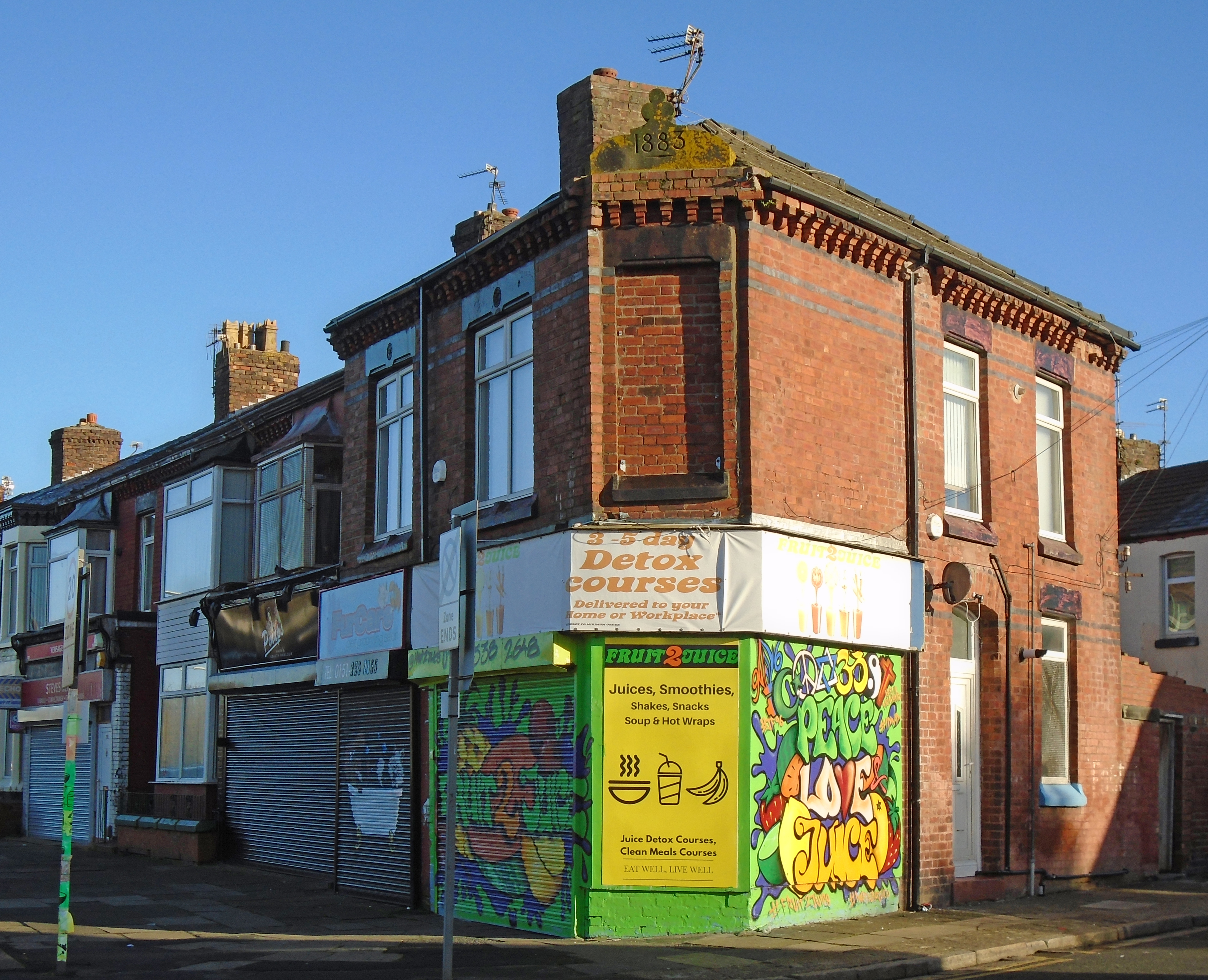
Former Fruit Store, Larkhill Lane, Liverpool L13.JPG - Rept0n1x

Shops on Larkhill Lane, Liverpool L13.JPG - Rept0n1x

Fu Hong Chinese Restaurant, Liverpool L4.JPG - Rept0n1x

Muirhead Avenue playground.jpg - Rodhullandemu

Clubmoor Youth Centre.jpg - Rodhullandemu

Lucy box, Townsend Lane.jpg - Rodhullandemu
148 Townsend Lane, Clubmoor.jpg - Rodhullandemu

178 Townsend Lane, Clubmoor.jpg - Rodhullandemu

Clubmoor Picture House.jpg - Rodhullandemu

Clubmoor Club.jpg - Roblespepe

Clubmoor Club (2).jpg - Roblespepe

Post box in Clubmoor.jpg - Rodhullandemu

Post box at Curtis Road, Clubmoor.jpg - Rodhullandemu

Queens Drive at Muirhead Avenue.jpg - Rodhullandemu

Queens Drive towards Townsend Avenue.jpg - Rodhullandemu