Wikimedi'Òc
Modes d'emploi

Cet album fait partie des albums
Cet album photos contient les sous-albums suivants :


Chittening, Seabank Power Station and Second Severn Bridge, aerial 2020 (2) - geograph.org.uk - 6558662.jpg - GeographBot

Chittening, Seabank Power Station and Second Severn Bridge, aerial 2020 (1) - geograph.org.uk - 6558657.jpg - GeographBot

Chittening Warth - geograph.org.uk - 7302298.jpg - GeographBot

Chittening Warth - geograph.org.uk - 6267073.jpg - GeographBot

Unit on Chittening Industrial Estate - geograph.org.uk - 6343578.jpg - GeographBot

Sevalco Ltd, Severn Road, Chittening - geograph.org.uk - 189945.jpg - GeographBot

Chittening Warth, north of Avonmouth - geograph.org.uk - 916864.jpg - GeographBot

Chittening Warth, north of Avonmouth - geograph.org.uk - 916882.jpg - GeographBot

Chittening - FGW 150102.JPG - Geof Sheppard
Chittening Siding looking towards Severn Beach.JPG - Geof Sheppard

Rhine alongside the railway near Hallen Marsh - geograph.org.uk - 2398020.jpg - GeographBot
Bridge below the elevated railway across Hallen Marsh - geograph.org.uk - 2398164.jpg - GeographBot

Cycle Route 41 alongside elevated railway - geograph.org.uk - 2398168.jpg - GeographBot

Cycle track alongside the A403 near Avonmouth - geograph.org.uk - 2398177.jpg - GeographBot

Stuppill Rhine near the A403 - geograph.org.uk - 2398180.jpg - GeographBot

Large chemical plant near Crook's Marsh, Avonmouth - geograph.org.uk - 2398181.jpg - GeographBot
10th Anniversary 'Gazebo' built by SUSTRANS in 2005 - geograph.org.uk - 2398223.jpg - GeographBot

Worthy Road, Chittening Industrial Estate - geograph.org.uk - 2785825.jpg - GeographBot

Bank Road, Chittening Industrial Estate - geograph.org.uk - 2785829.jpg - GeographBot

Looking West over the Severn Estuary at Chittening Warth - geograph.org.uk - 3479591.jpg - GeographBot

Flood control gates at Stup Pill looking SE - geograph.org.uk - 3479607.jpg - GeographBot

Stup Pill viewed from the flood gates ^ looking West to the Severn Estuary - geograph.org.uk - 3479617.jpg - GeographBot

One of the larger drainage rhines on this industrial estate - geograph.org.uk - 4835836.jpg - GeographBot

A bend in the rhine - geograph.org.uk - 4835838.jpg - GeographBot

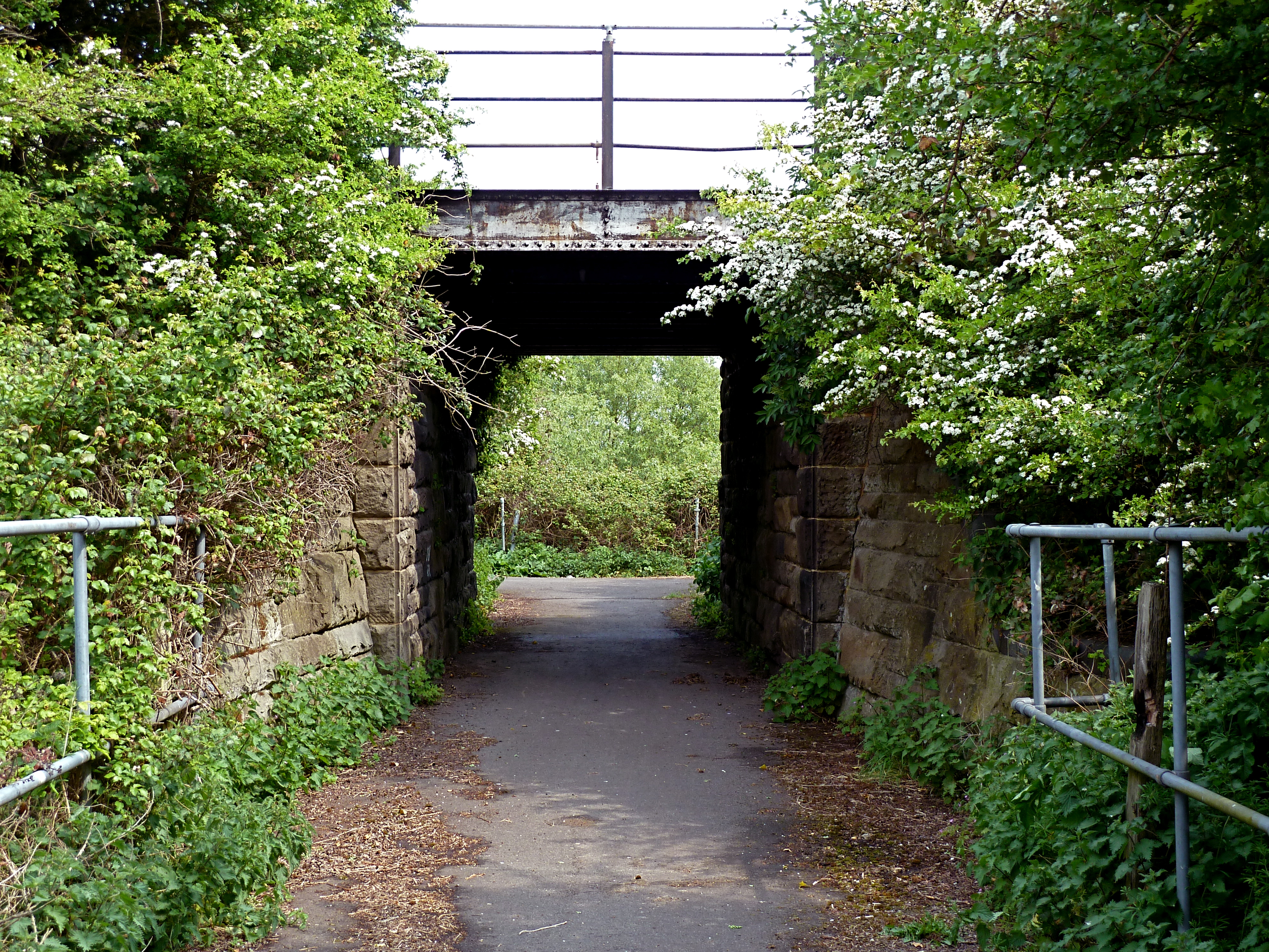
Underneath the arches - geograph.org.uk - 4835839.jpg - GeographBot

A sign of the times - geograph.org.uk - 4835843.jpg - GeographBot

This way to the docks - geograph.org.uk - 4835845.jpg - GeographBot

The former Massey-Wilcox rail freight terminal - geograph.org.uk - 4836124.jpg - GeographBot

Oil pipeline from the Avonmouth fuel storage depot - geograph.org.uk - 4836126.jpg - GeographBot

Oil pipeline from the Avonmouth fuel storage depot - geograph.org.uk - 4836128.jpg - GeographBot

Oil pipeline from the Avonmouth fuel storage depot - geograph.org.uk - 4836130.jpg - GeographBot

Oil pipeline from the Avonmouth fuel storage depot - geograph.org.uk - 4836132.jpg - GeographBot

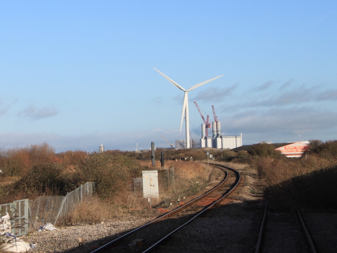
Wind powered generators replace old technology - geograph.org.uk - 4836134.jpg - GeographBot

High pressure gas pipeline-mixed products - geograph.org.uk - 4836136.jpg - GeographBot

High pressure gas pipeline-mixed products - geograph.org.uk - 4836138.jpg - GeographBot

Hallen Marsh beside railway line - geograph.org.uk - 5301871.jpg - GeographBot

Looking back from charter train approaching Hallen Marsh Junction - geograph.org.uk - 5302722.jpg - GeographBot

Vacant land, Chittening Industrial Estate - geograph.org.uk - 5544173.jpg - GeographBot

Run-off pond, Chittening Lane - geograph.org.uk - 5549032.jpg - GeographBot

Waste ground and wind turbines, Chittening Industrial Estate - geograph.org.uk - 5549041.jpg - GeographBot